Elevation of Shibetsu, Shibetsu District, Hokkaido Prefecture, Japan
Location: Japan > Hokkaido Prefecture > Shibetsu District >
Longitude: 145.131319
Latitude: 43.6613871
Elevation: 1m / 3feet
Barometric Pressure: 101KPa
Elevation Map:
Satellite Map:
Related Photos:
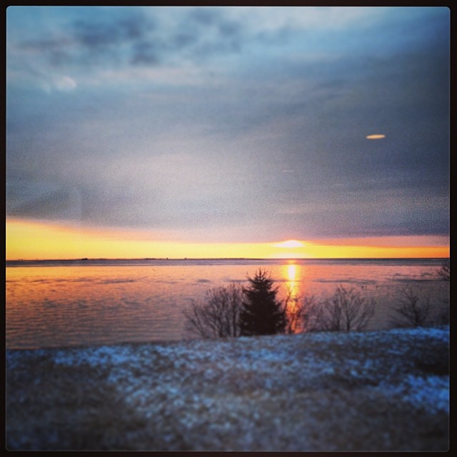
のつけサンライズ
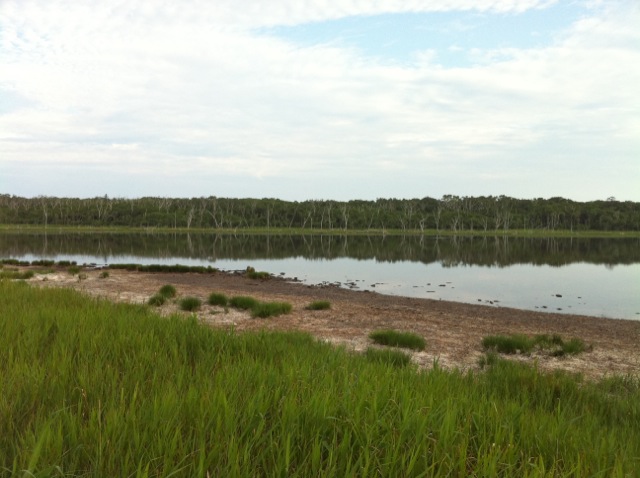
野付半島
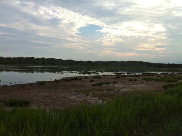
野付半島
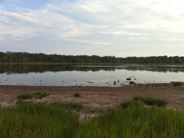
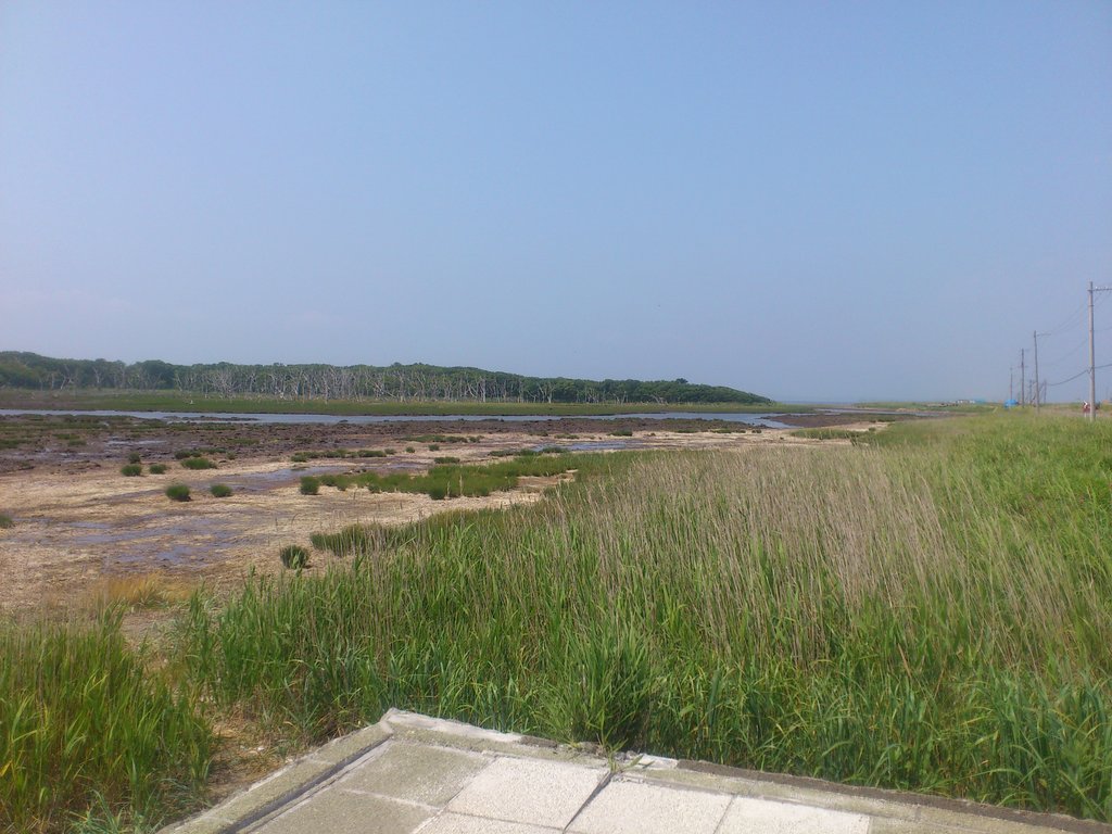
野付半島
ナラワラ
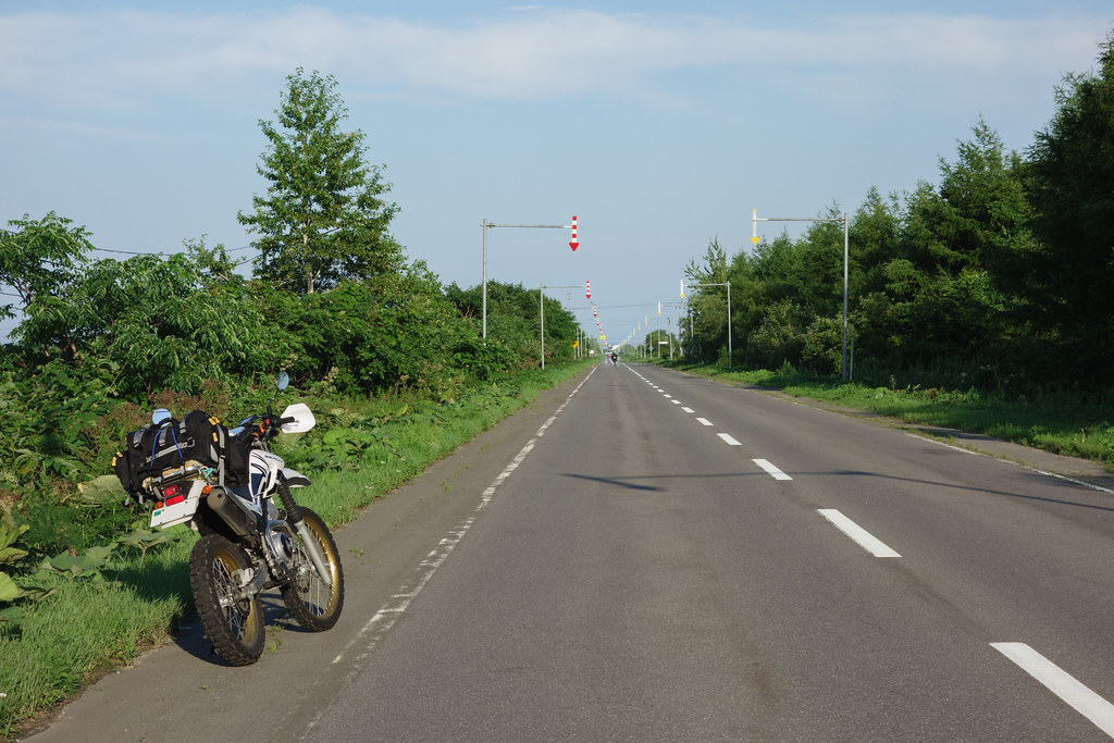
標津
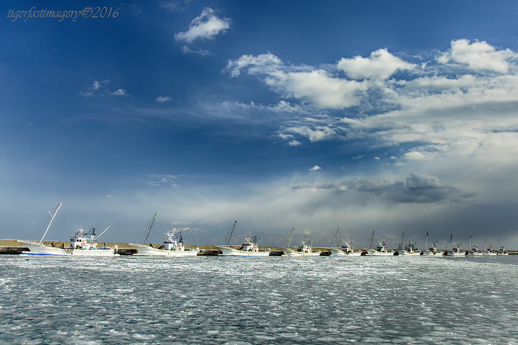
20160710 16:49 Odaitoh Hokkaido

Sika Deer
Iced up

2015 Hokkaido Summer
尾岱沼の帆掛け船エビ漁の解禁日 #望遠でも上手く撮れない #尾岱沼 #北海しまえび
本日の晩飯 #しじみ汁 #いももち
Notsuke Peninsula, Betsukai
Notsuke Peninsula, Betsukai
Topographic Map of Shibetsu, Shibetsu District, Hokkaido Prefecture, Japan
Find elevation by address:

Places in Shibetsu, Shibetsu District, Hokkaido Prefecture, Japan:
Places near Shibetsu, Shibetsu District, Hokkaido Prefecture, Japan:
1-3 Kawakita, Shibetsu-chō, Shibetsu-gun, Hokkaidō -, Japan
Mount Onnebetsu
Menashi District
Rausu
2-3 Funamichō, Rausu-chō, Menashi-gun, Hokkaidō -, Japan
6 Yunosawachō, Rausu-chō, Menashi-gun, Hokkaidō -, Japan
Makoi, Shari-chō, Shari-gun, Hokkaidō -, Japan
10 Hinode, Shari-chō, Shari-gun, Hokkaidō -, Japan
Mount Rausu
Utorokogen
Iwaubetsu-531 Onnebetsumura
13 Misakichō, Rausu-chō, Menashi-gun, Hokkaidō -, Japan
Onnebetsumura
Iwaubetsu Onnebetsumura
Aidomari, Rausu-chō, Menashi-gun, Hokkaidō -, Japan
Kunashir Island
Recent Searches:
- Elevation of Corso Fratelli Cairoli, 35, Macerata MC, Italy
- Elevation of Tallevast Rd, Sarasota, FL, USA
- Elevation of 4th St E, Sonoma, CA, USA
- Elevation of Black Hollow Rd, Pennsdale, PA, USA
- Elevation of Oakland Ave, Williamsport, PA, USA
- Elevation of Pedrógão Grande, Portugal
- Elevation of Klee Dr, Martinsburg, WV, USA
- Elevation of Via Roma, Pieranica CR, Italy
- Elevation of Tavkvetili Mountain, Georgia
- Elevation of Hartfords Bluff Cir, Mt Pleasant, SC, USA