Elevation of Rausu, Menashi District, Hokkaido Prefecture, Japan

Location: Japan > Hokkaido Prefecture > Menashi District >

Longitude: 145.189619

Latitude: 44.0218755

Elevation: 13m / 43feet

Barometric Pressure: 101KPa

Elevation Map:

elevation map of Rausu, Menashi District, Hokkaido Prefecture, Japan

Satellite Map:

Satellite map of Rausu, Menashi District, Hokkaido Prefecture, Japan

Related Photos:

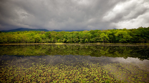
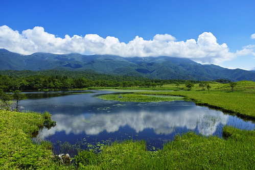
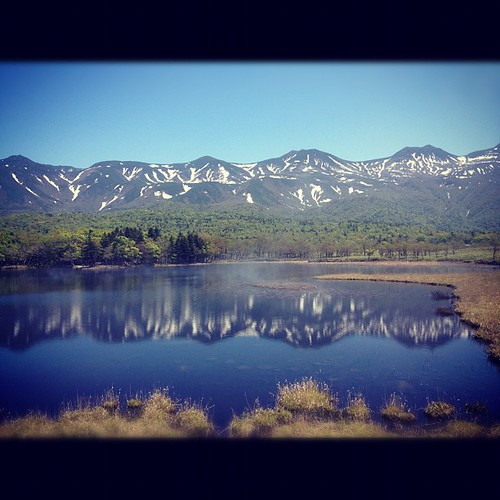
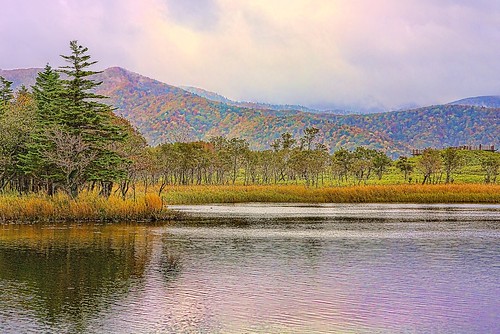
travel trees sky lake holiday storm reflection green tourism nature water weather japan forest landscape countryside nationalpark scenery holidays asia hokkaido flickr view personal cloudy famous dramatic conservation overcast nobody unesco worldheritagesite 北海道 destination remote daytime serene wilderness popular climate attraction ainu protected facebook endoftheearth unspoiled shiretoko fivelakes 2011 知床 utoro flickrpublic 知床国立公園 shiretokonationalpark goko imagetype flickrp photospecs stockcategories 知床半島 五湖 fotopedia lumixgvario714f40 lifeinjapan20102012 shiretokogoto siretok
Hokkaido Week - 3D2N at Shiretoko Peninsula (2011: 0381)
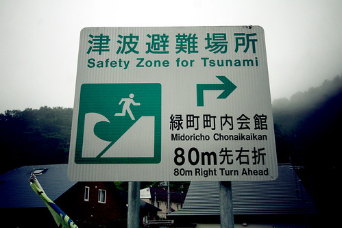
fish sign japan fog hokkaido sashimi roadtrip safety tsunami 北海道 日本 zone shiretoko canonefs1022mm rausu canoneos30d goodfishiescom easternhokkaido
Safety Zone for Tsunami
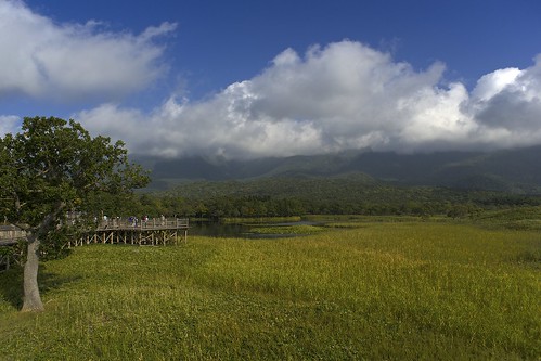
Shiretoko Goko Lakes elevated boardwalk
square squareformat iphoneography instagramapp uploaded:by=instagram
Hokkaido day 4 (360deg view over a Unesco World Heritage Site)
mountain landscape day outdoor
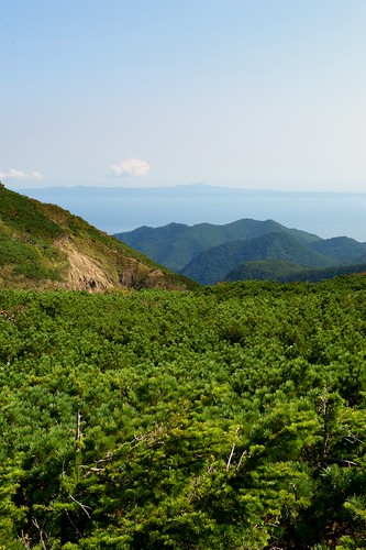
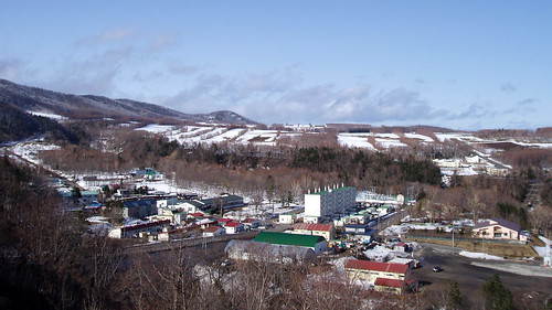
Shiretoko view
japan
Mountain view
geotagged hotel 北海道 peninsula shiretoko 知床 utoro hokkaidō ウトロ 宇登呂 半島 utoroonsen geo:lat=44065919 geo:lon=145001185
#2885 partial ocean view
square squareformat iphoneography instagramapp uploaded:by=instagram
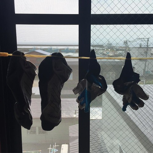
Clothesline with a view
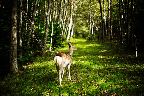
female digital forest 50mm path wildlife deer utata 2012 f12 知床 shiretokopeninsula wilddeer shiretokonationalpark ef50mmf12lusm intotheforest 知床半島 canoneos5dmarkiii hokkaidosika
Take me to the Forest
sigmadp1merrill
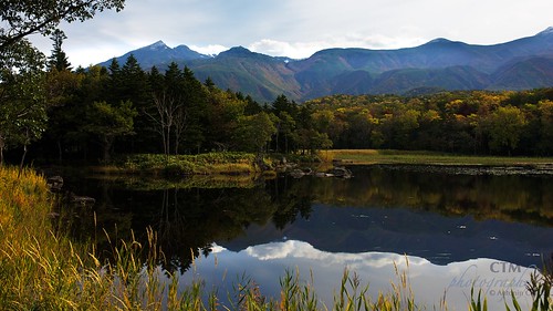
知床五湖 - Shiretoko goko lakes -
square squareformat iphone iphoneography instagram instagramapp xproii uploaded:by=instagram foursquare:venue=4c37d4d5dfb0e21ee39bada8
美到靠北
square squareformat normal iphoneography instagramapp uploaded:by=instagram foursquare:venue=4bde87346198c9b6d92a14ff
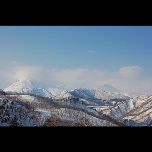
展望台から見た羅臼岳
square squareformat hudson iphoneography instagramapp uploaded:by=instagram foursquare:venue=4c6b1a9d599fbe9af011923f
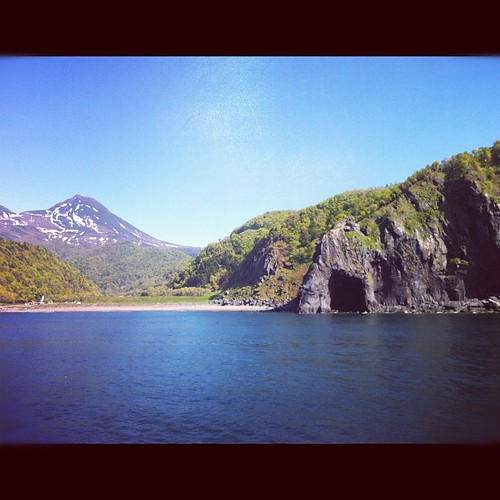
知床遊船
square squareformat normal iphoneography instagramapp uploaded:by=instagram foursquare:venue=4bde87346198c9b6d92a14ff
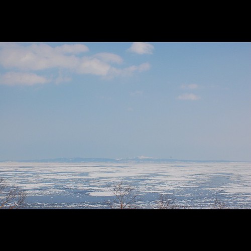
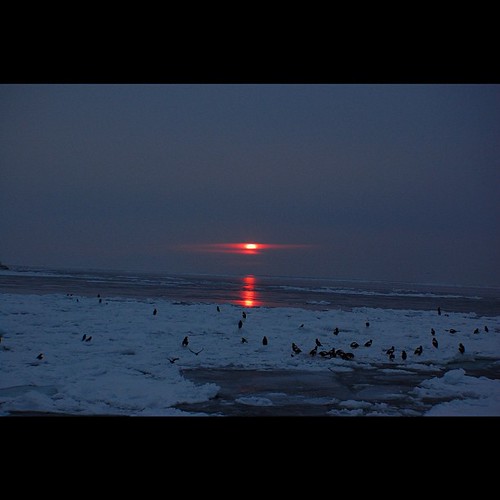
展望台から見た流氷
square squareformat normal iphoneography instagramapp uploaded:by=instagram foursquare:venue=4d5edc56338bb60cd5ba14bd
サンライズ
street autumn light sea sky cloud lake color green japan clouds spring hokkaido wind sunny m42 北海道 24mm breeze sunnyday shiretoko 2014 осень 知床 seaofokhotsk япония хоккайдо andotime manuallensonly
Shiretoko dreams
hokkaido 北海道
国後島
ShiretokoDay2 84
square squareformat iphoneography instagramapp uploaded:by=instagram foursquare:venue=4c37d4d5dfb0e21ee39bada8
天気が良くて見晴らし最高。
hokkaido 北海道
国後島
leica travel film japan kodak voigtlander 400 portra 15mm m7 heliar superwide hokkaidoprefecture sharidistrict
Furepe Falls
square squareformat iphoneography instagramapp uploaded:by=instagram foursquare:venue=4bde87346198c9b6d92a14ff
羅臼と国後島を一望!
square squareformat sutro iphoneography instagramapp uploaded:by=instagram foursquare:venue=4d5224e3c305b60c9283971e
人に「そんな同じ山行って飽きないの」言われるも、一昨日は沢で今日は尾根なれば全く装い異なるので、これに岩壁でもあれば一つの山で相当遊べる。一夏遊べる
Siretoko National Park
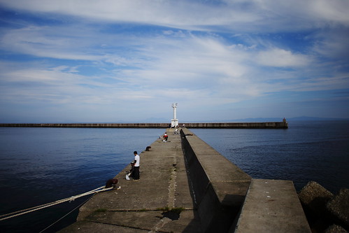
blue sea sky canon harbor hokkaido 北海道 shiretoko 知床 羅臼 ef20mmf28usm 5dmarkⅱ
羅臼港5

Topographic Map of Rausu, Menashi District, Hokkaido Prefecture, Japan

Find elevation by address:


Places in Rausu, Menashi District, Hokkaido Prefecture, Japan:

Places near Rausu, Menashi District, Hokkaido Prefecture, Japan:

Recent Searches: