Elevation of Sherman, KS, USA
Location: United States > Kansas > Dickinson County >
Longitude: -97.114403
Latitude: 39.082984
Elevation: 358m / 1175feet
Barometric Pressure: 97KPa
Elevation Map:
Satellite Map:
Related Photos:

20160526-DET_4964
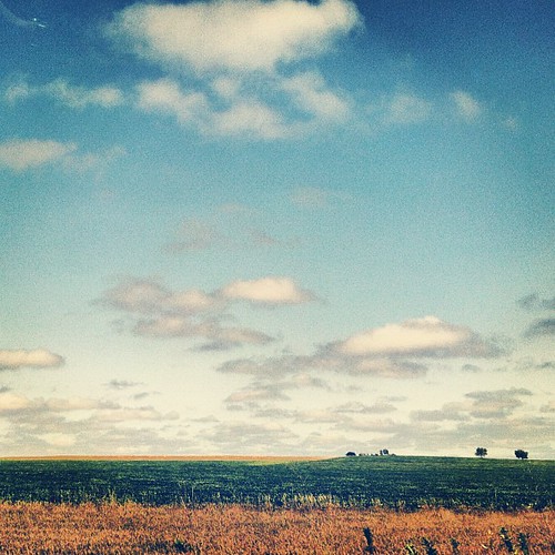
The American Midwest. #roadtrip #travel #midwest #farm #landscape #fields #clouds #plains

Chapman, KS
20160526-DET_4984
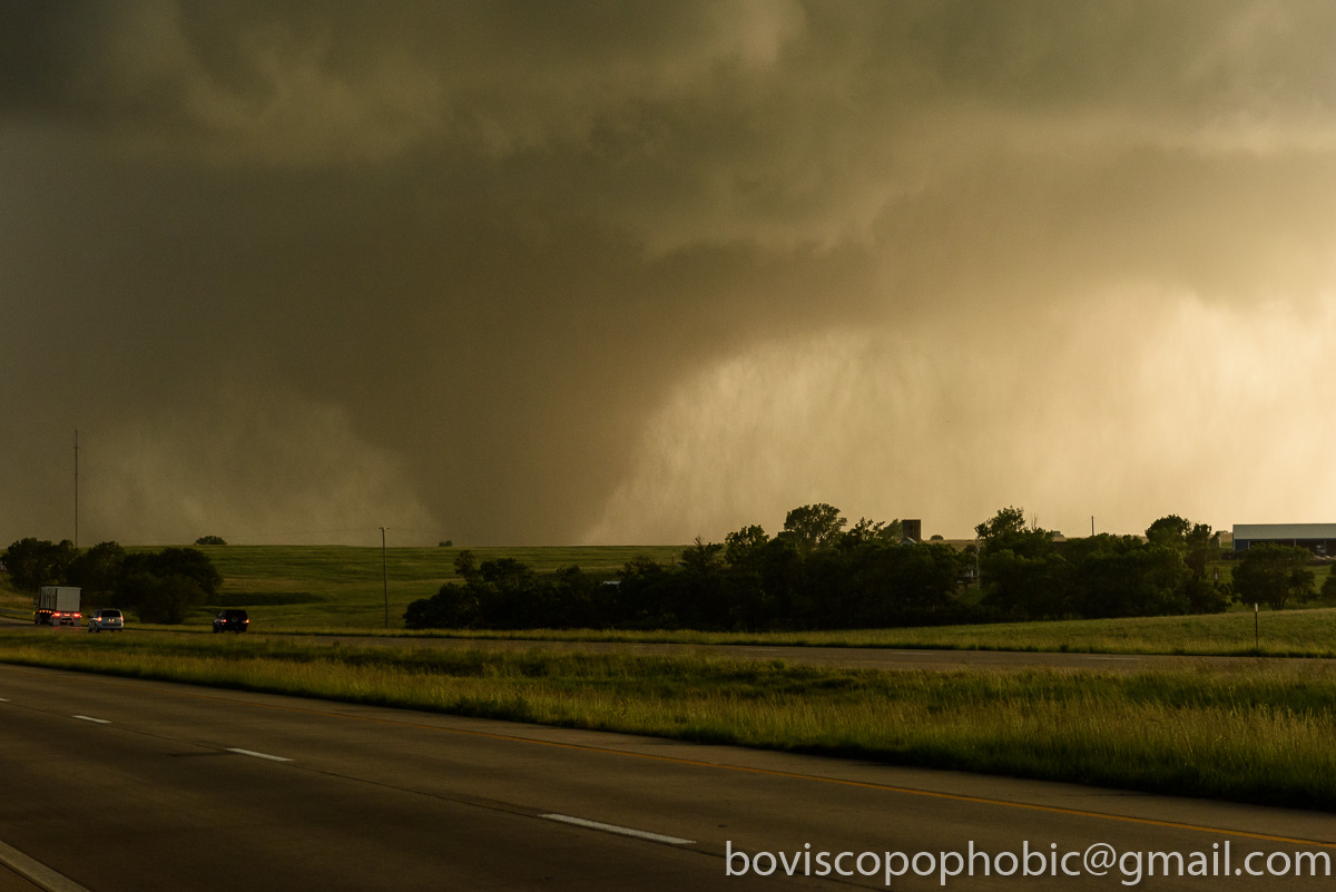
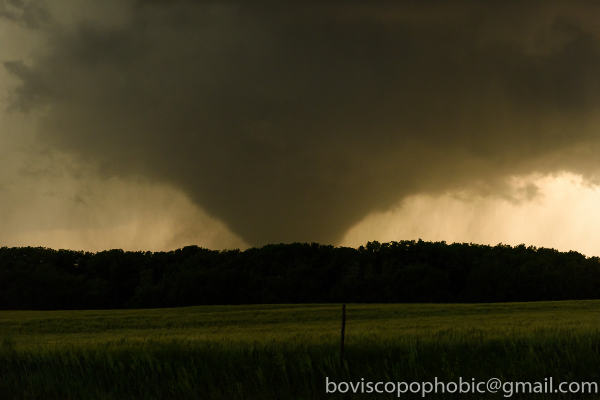
Chapman, KS
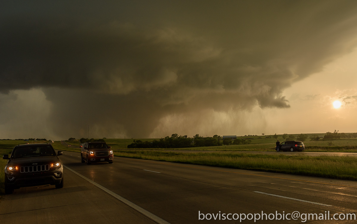
Uh Oh
20160526-DET_4940
20160526-DET_4990

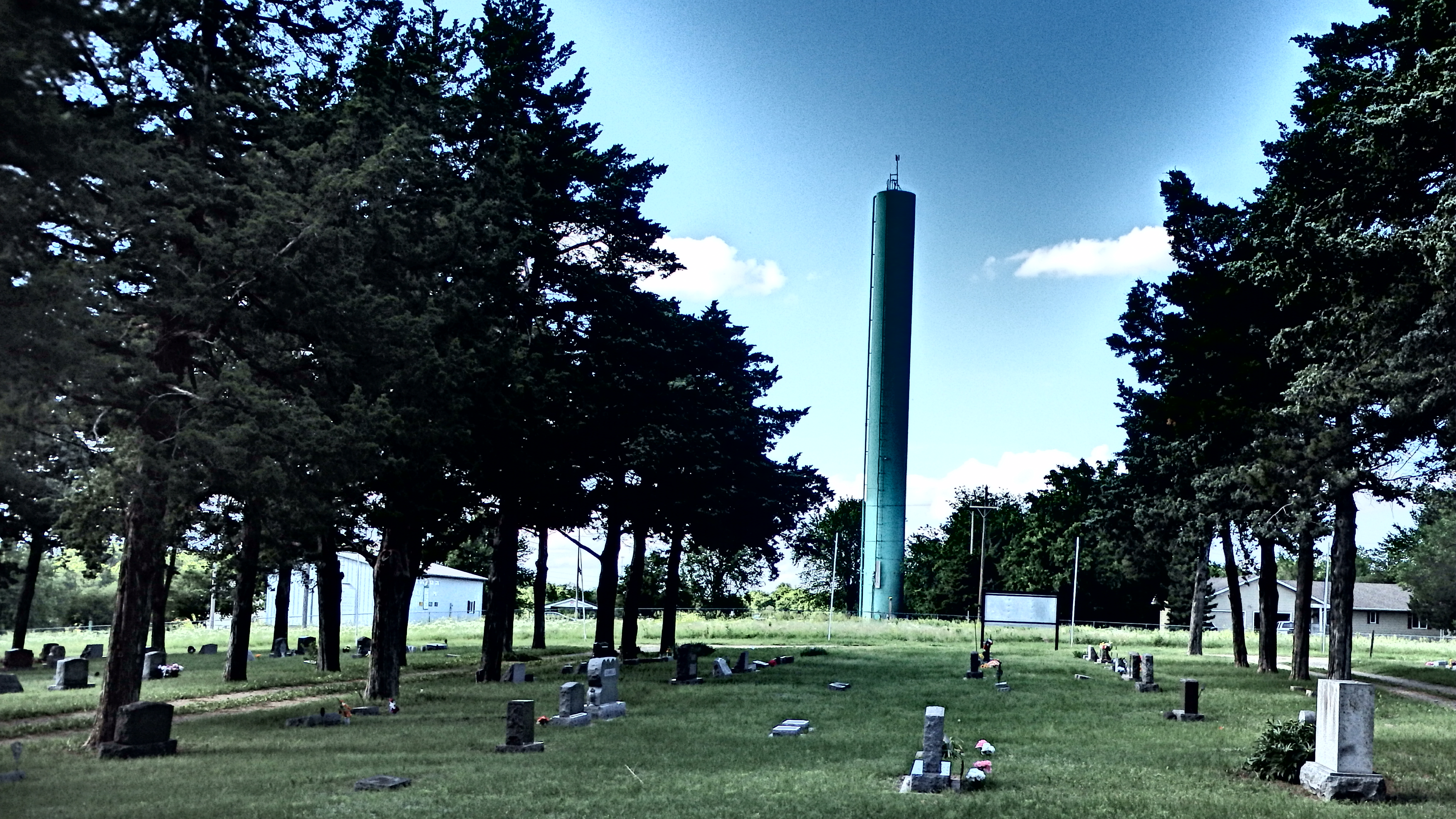
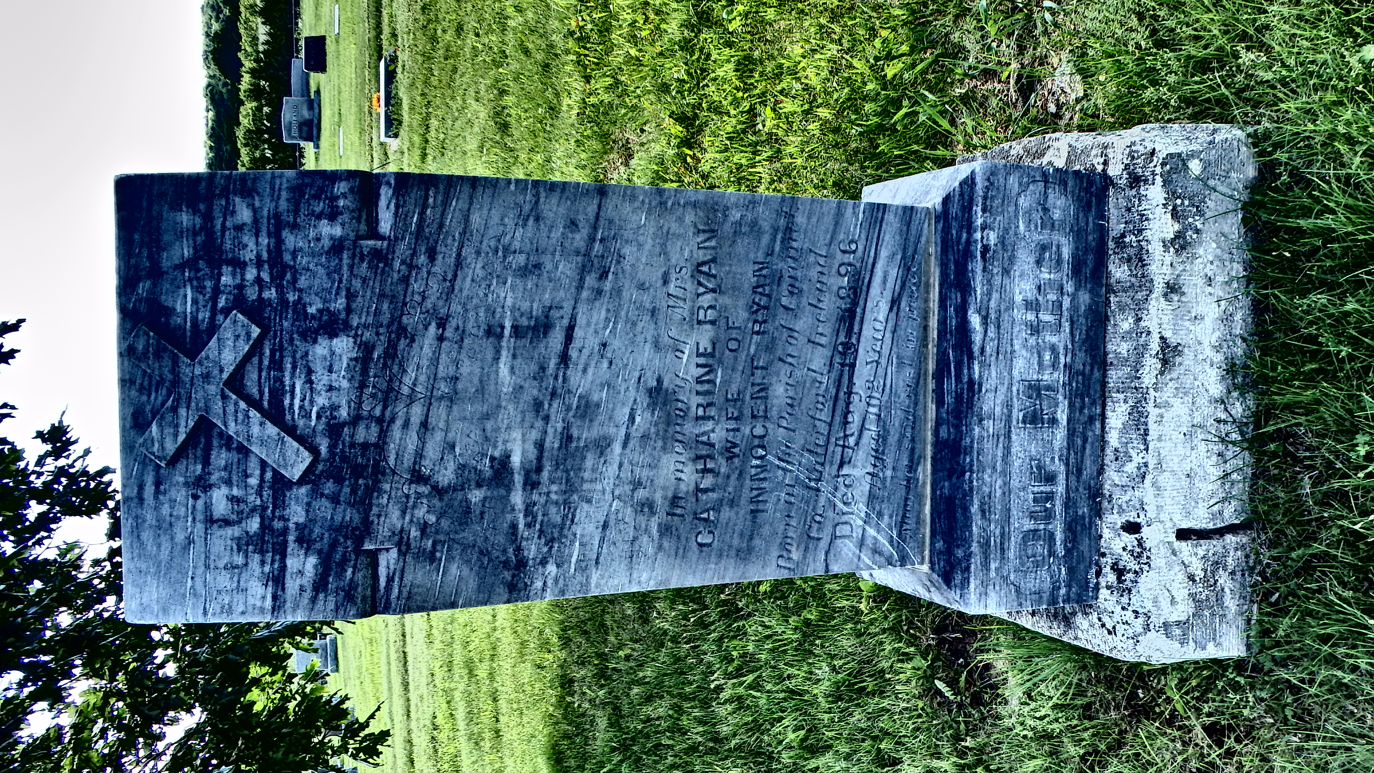
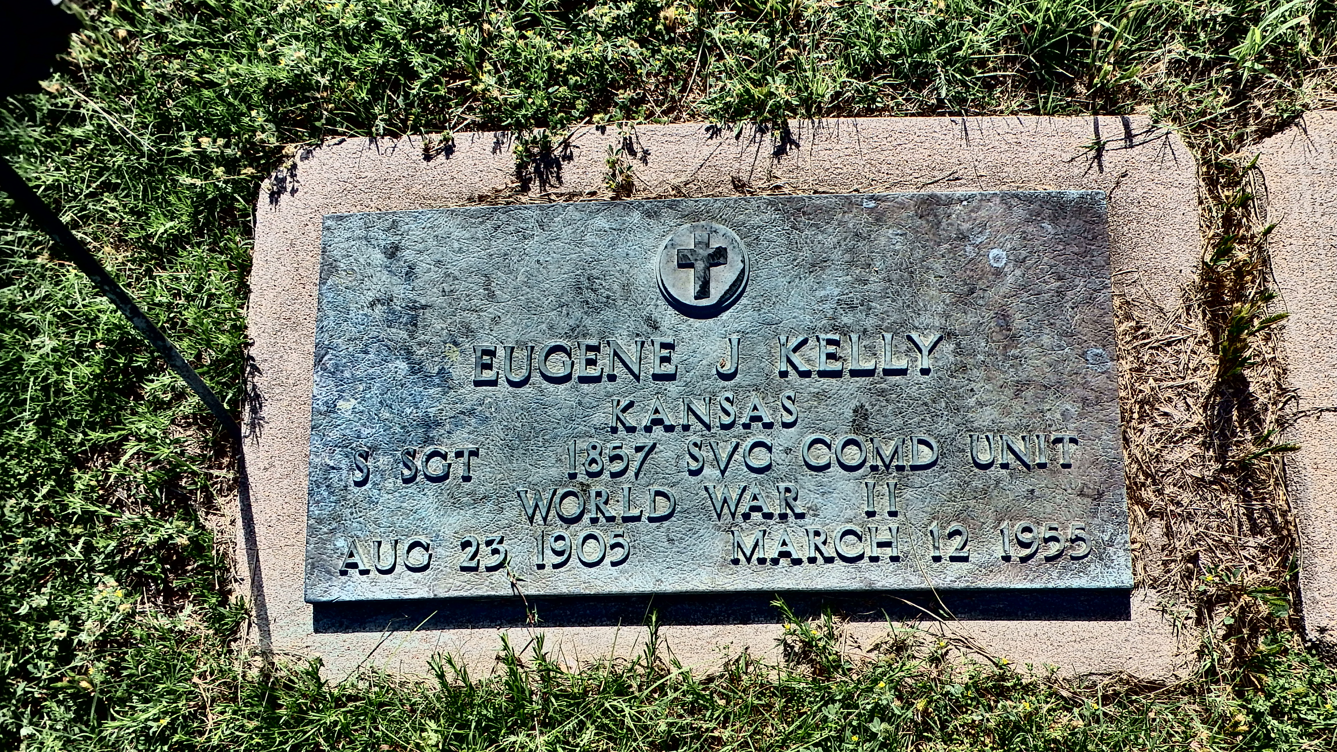
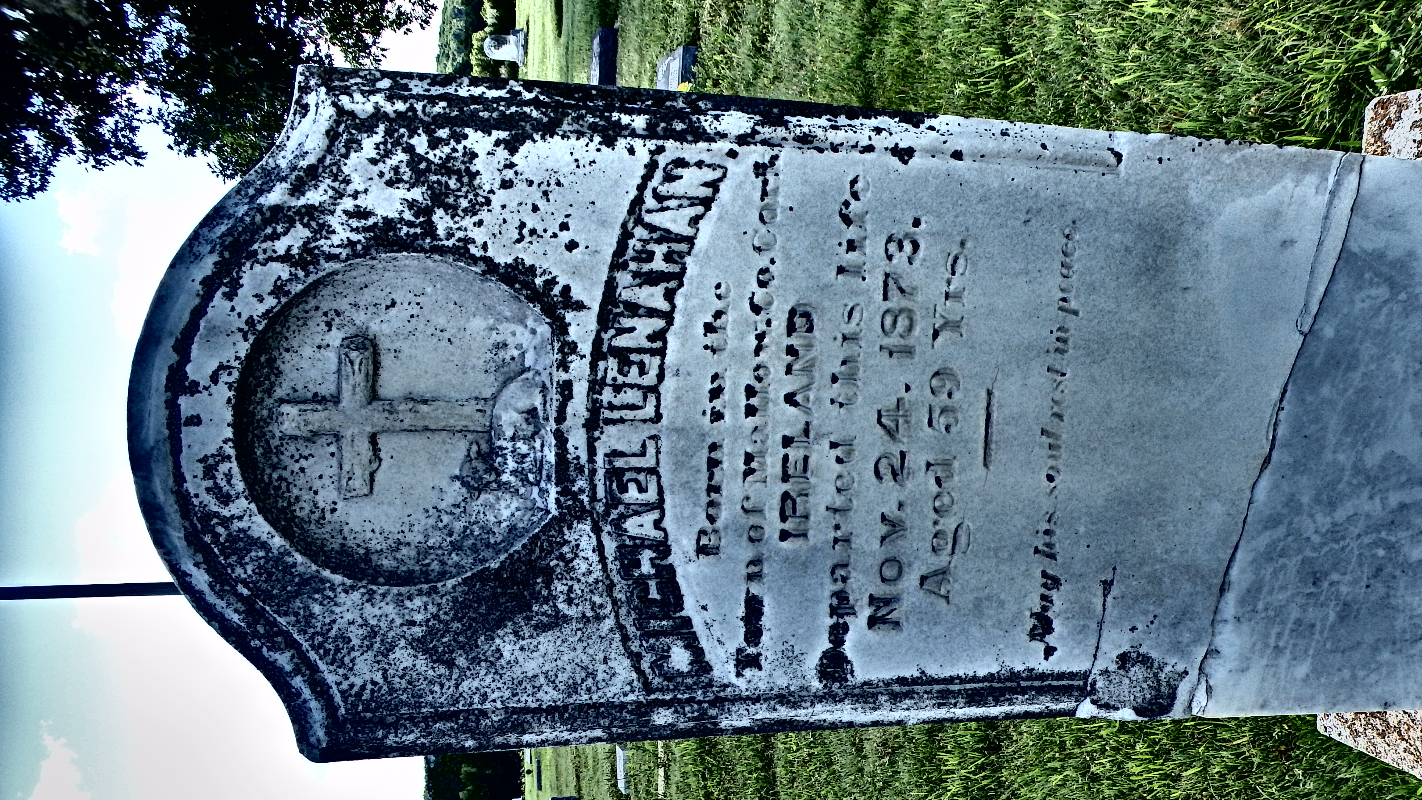
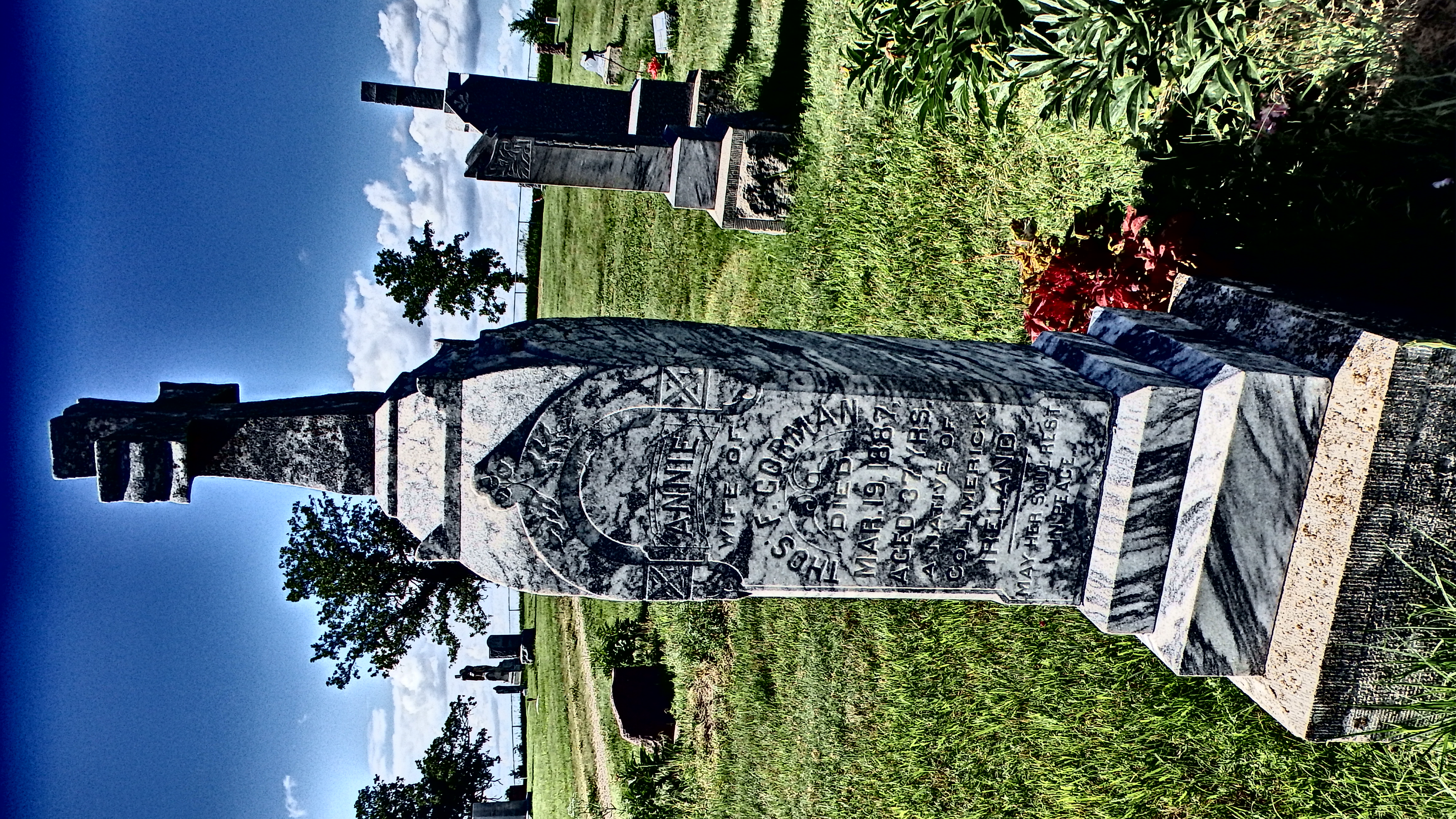
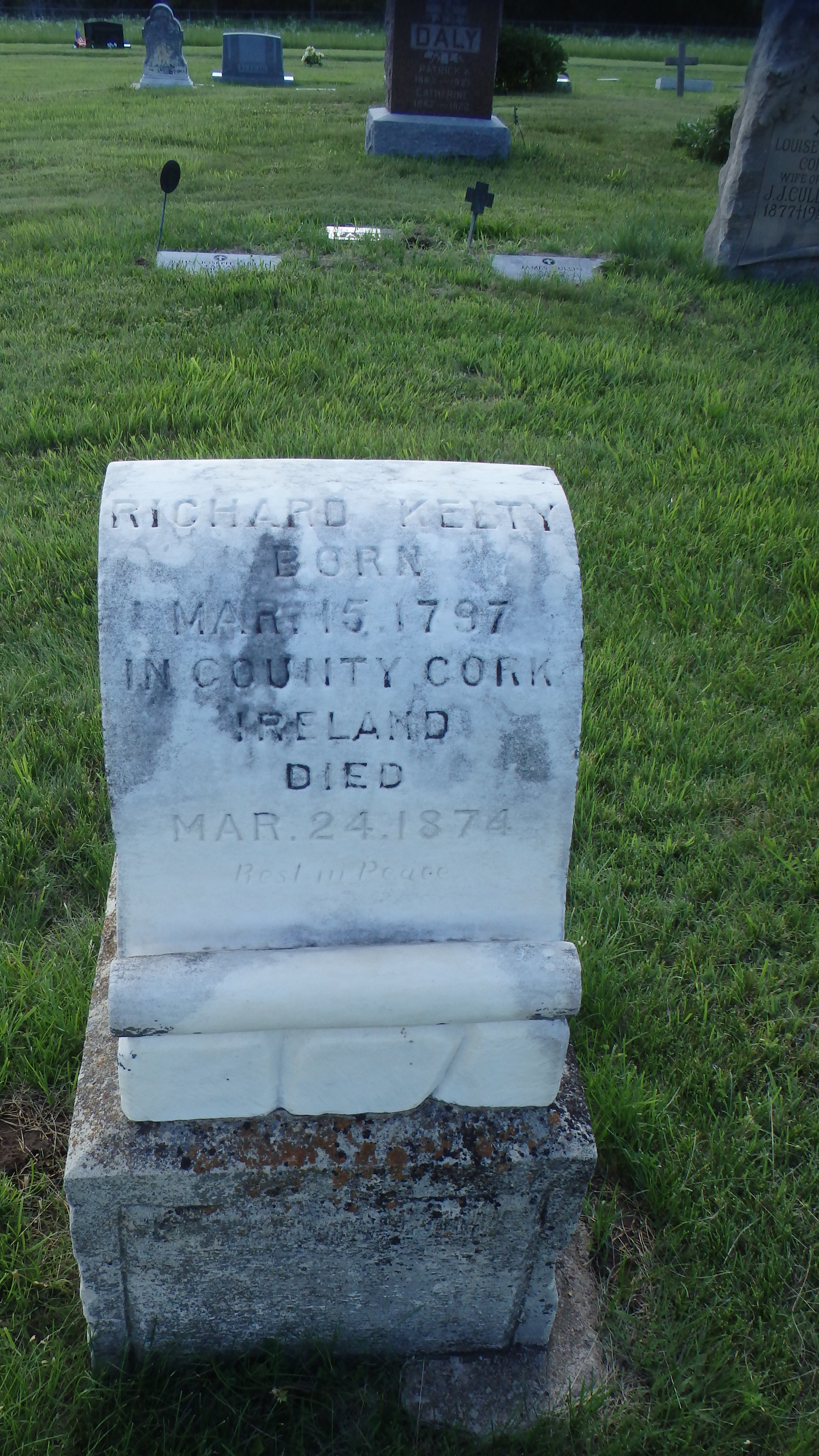
Chapman, KS
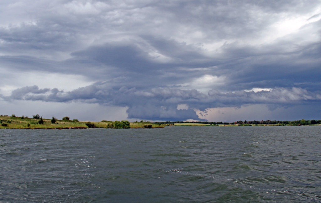
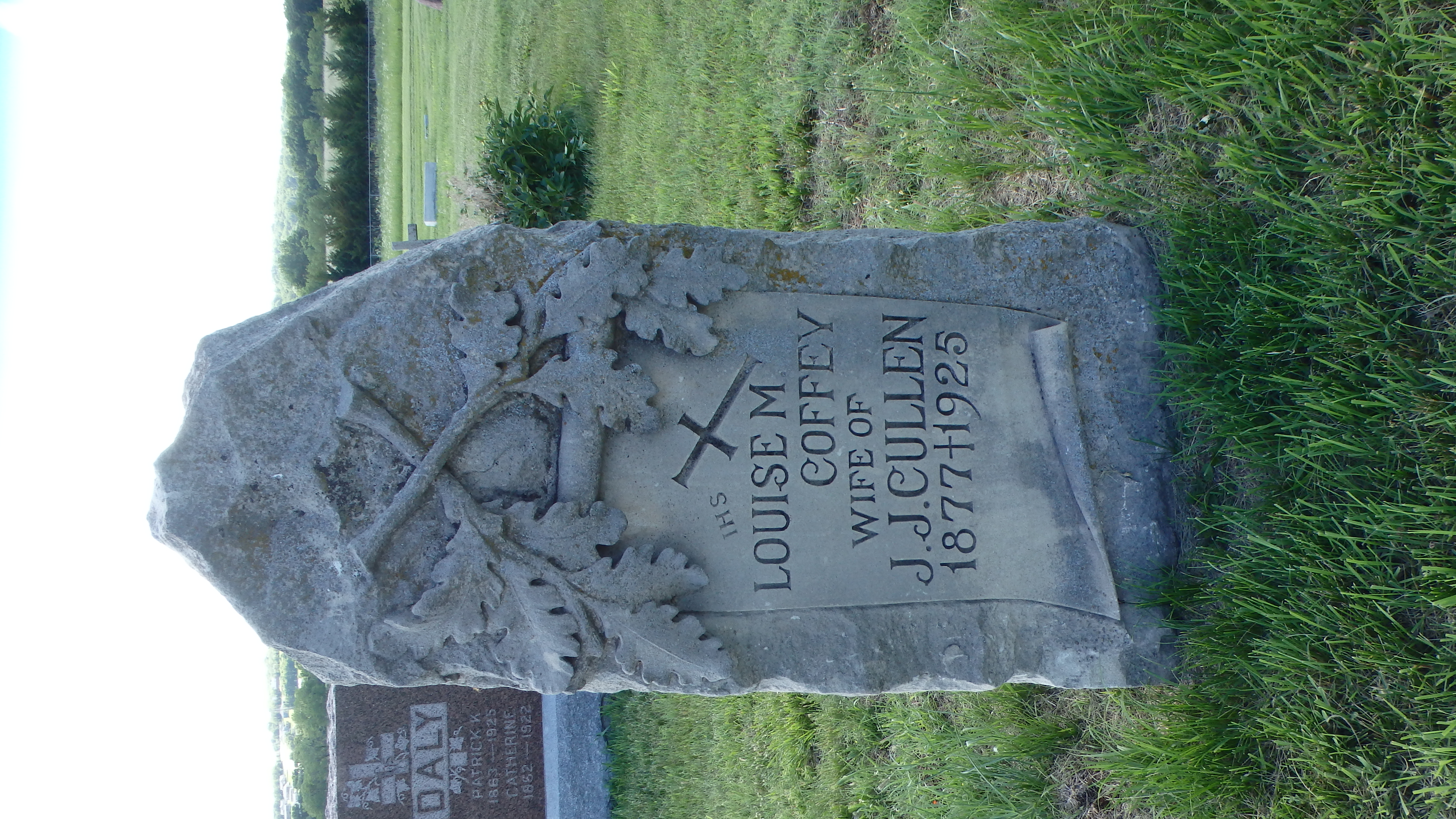
Chapman, KS

Chapman, KS
Chapman, KS
Chapman, KS
Chapman, KS
Chapman, KS

Chapman, KS
Chapman, KS

Chapman, KS

Chapman, KS

Chapman, KS

Chapman, KS
Chapman, KS
Chapman, KS
Topographic Map of Sherman, KS, USA
Find elevation by address:

Places in Sherman, KS, USA:
Places near Sherman, KS, USA:
1829 3250 Ave
Paint Rd, Chapman, KS, USA
1st Rd, Abilene, KS, USA
1578 2800 Ave
Cheever
Main Detroit St, Abilene, KS, USA
Walnut St, Abilene, KS, USA
Center
S Factory St, Enterprise, KS, USA
Enterprise
N Buckeye Ave, Abilene, KS, USA
Abilene
Manchester
Coats St, Abilene, KS, USA
Flora
Clay Center, KS, USA
Rose St, Longford, KS, USA
Willowdale
Dickinson County
Logan
Recent Searches:
- Elevation of Corso Fratelli Cairoli, 35, Macerata MC, Italy
- Elevation of Tallevast Rd, Sarasota, FL, USA
- Elevation of 4th St E, Sonoma, CA, USA
- Elevation of Black Hollow Rd, Pennsdale, PA, USA
- Elevation of Oakland Ave, Williamsport, PA, USA
- Elevation of Pedrógão Grande, Portugal
- Elevation of Klee Dr, Martinsburg, WV, USA
- Elevation of Via Roma, Pieranica CR, Italy
- Elevation of Tavkvetili Mountain, Georgia
- Elevation of Hartfords Bluff Cir, Mt Pleasant, SC, USA