Elevation of Coats St, Abilene, KS, USA
Location: United States > Kansas > Dickinson County > Flora > Manchester >
Longitude: -97.323672
Latitude: 39.094585
Elevation: 397m / 1302feet
Barometric Pressure: 97KPa
Elevation Map:
Satellite Map:
Related Photos:
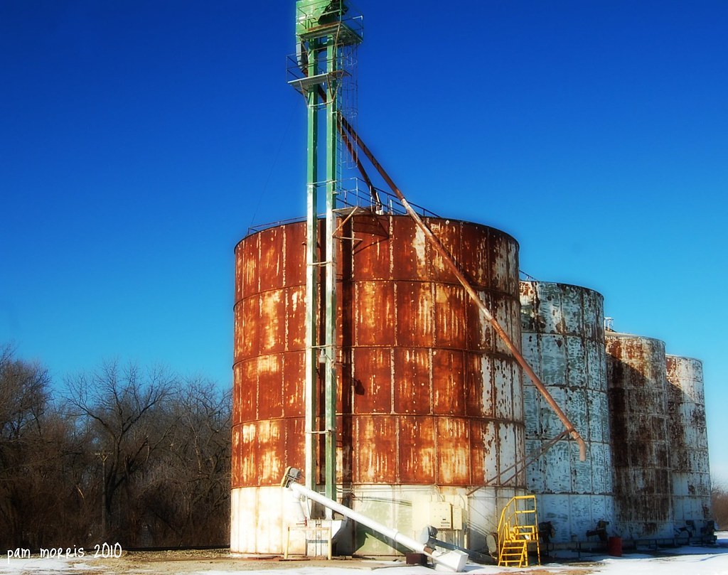
talmage rust
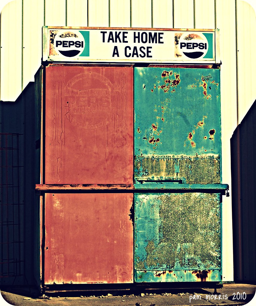
Take Home A Case Why Dontcha

© 2012 Tim McCuiston Photography

Post Office 67458 (Longford, Kansas)

Longford, Kansas City Hall

Storefront Block (Longford, Kansas)
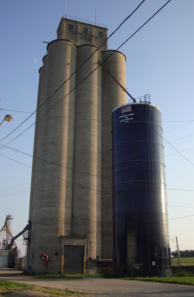
Grain Elevator (Longford, Kansas)

Old Storefront Building (Manchester, Kansas)

Old Storefront Buildings (Manchester, Kansas)

Post Office 67482 (Talmage, Kansas)

Shooting the AR 15
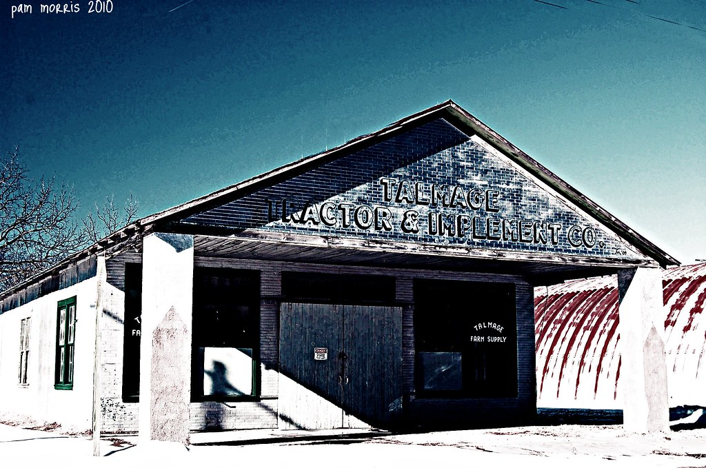
Talmage Tractor Supply
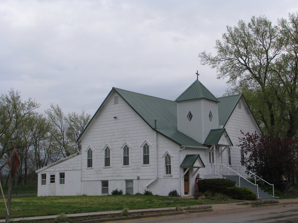
Church-Industry, Kansas
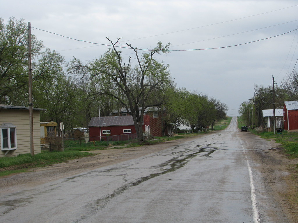
Main Street - Industry, Kansas
Topographic Map of Coats St, Abilene, KS, USA
Find elevation by address:

Places near Coats St, Abilene, KS, USA:
Manchester
Flora
Rose St, Longford, KS, USA
Walnut St, Abilene, KS, USA
Willowdale
Cheever
Lincoln
1st Rd, Abilene, KS, USA
W 5th St, Solomon, KS, USA
Solomon
Arrowhead Rd, Solomon, KS, USA
Lincoln
Abilene
N Buckeye Ave, Abilene, KS, USA
Sherman
1578 2800 Ave
Main Detroit St, Abilene, KS, USA
Fair Rd, Abilene, KS, USA
Paint Rd, Chapman, KS, USA
Center
Recent Searches:
- Elevation of Corso Fratelli Cairoli, 35, Macerata MC, Italy
- Elevation of Tallevast Rd, Sarasota, FL, USA
- Elevation of 4th St E, Sonoma, CA, USA
- Elevation of Black Hollow Rd, Pennsdale, PA, USA
- Elevation of Oakland Ave, Williamsport, PA, USA
- Elevation of Pedrógão Grande, Portugal
- Elevation of Klee Dr, Martinsburg, WV, USA
- Elevation of Via Roma, Pieranica CR, Italy
- Elevation of Tavkvetili Mountain, Georgia
- Elevation of Hartfords Bluff Cir, Mt Pleasant, SC, USA