Elevation of Shelter Point Rd, Gillies Bay, BC V0N 1W0, Canada
Location: Canada > British Columbia > Powell River > Powell River D > Van Anda >
Longitude: -124.41976
Latitude: 49.6604218
Elevation: 169m / 554feet
Barometric Pressure: 99KPa
Elevation Map:
Satellite Map:
Related Photos:
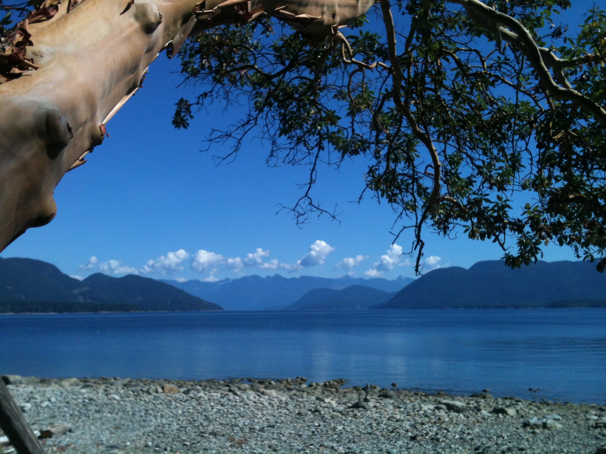
View from the cabin
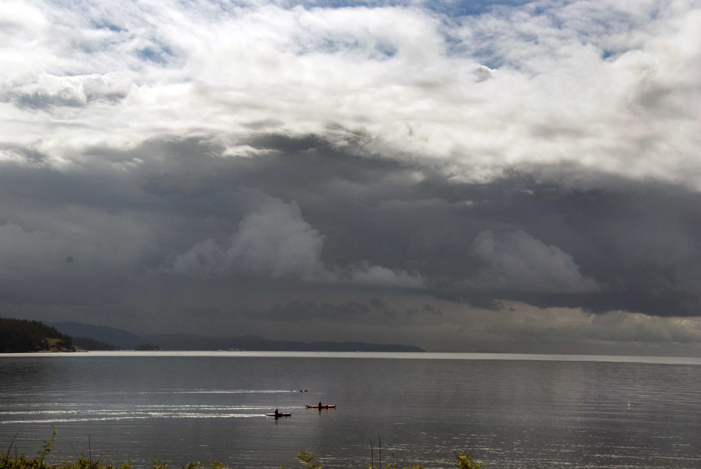
big morning
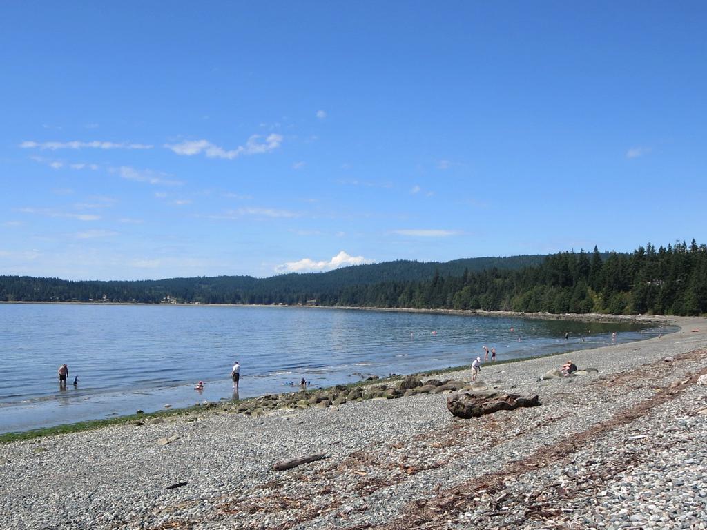
Shelter Point Park

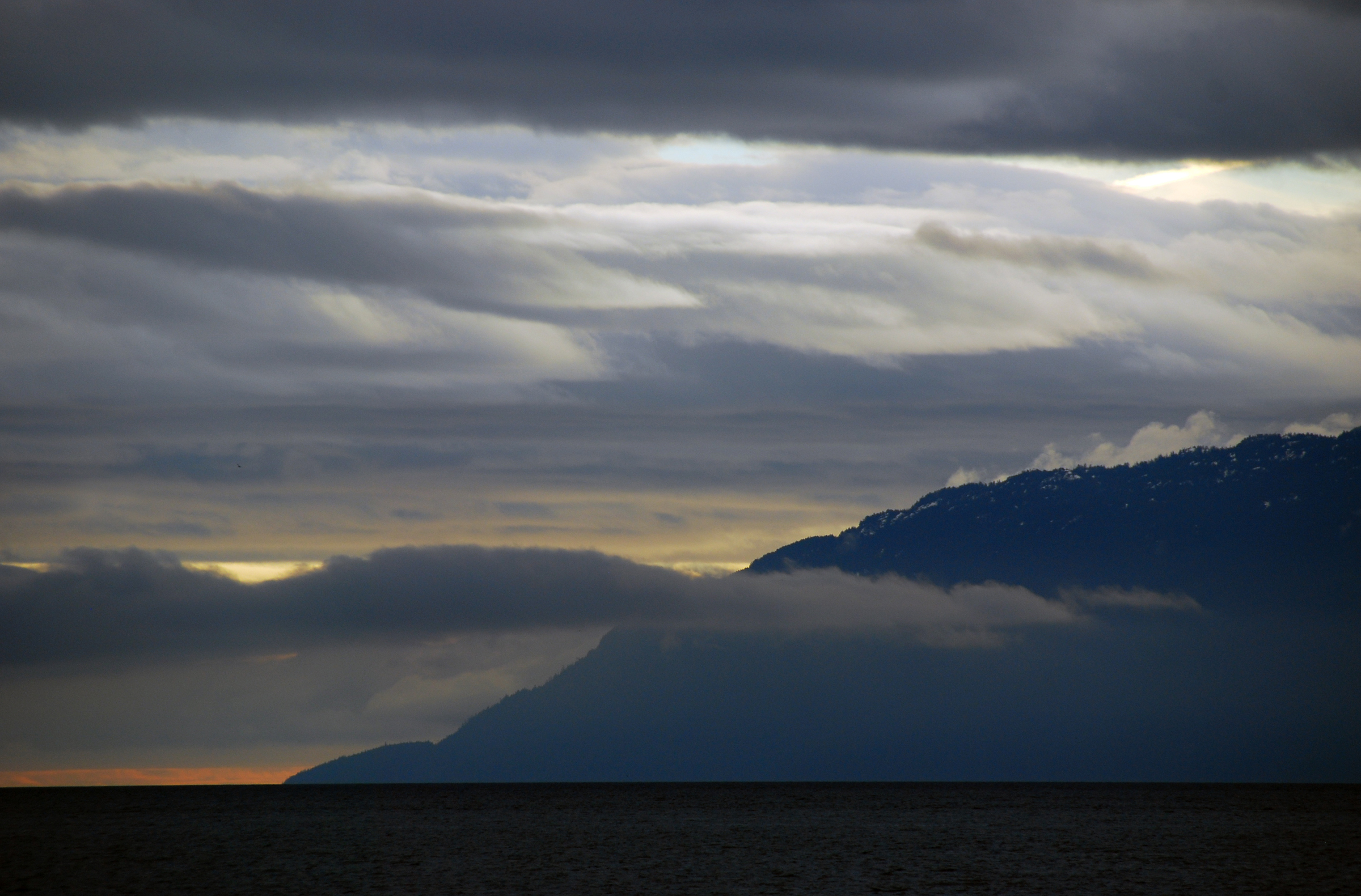
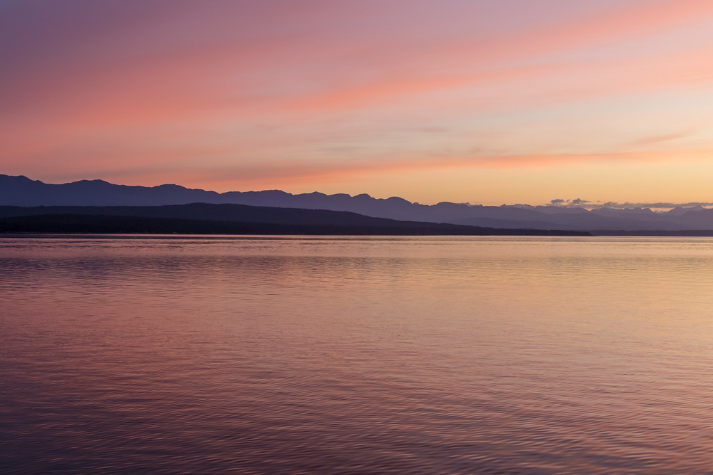
Sunshine Coast
slow morning
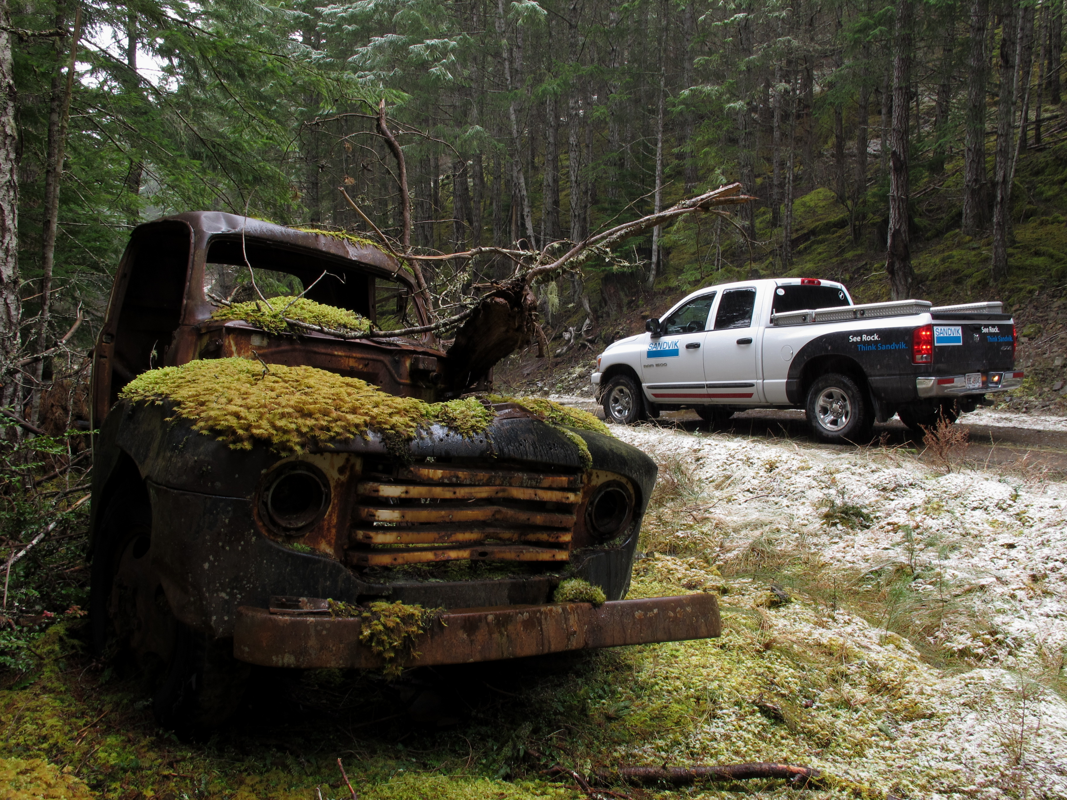
Texada Island - Abandoned Truck
Sunshine Coast
Reflecting on our Sunshine Coast Trip
The Lois river
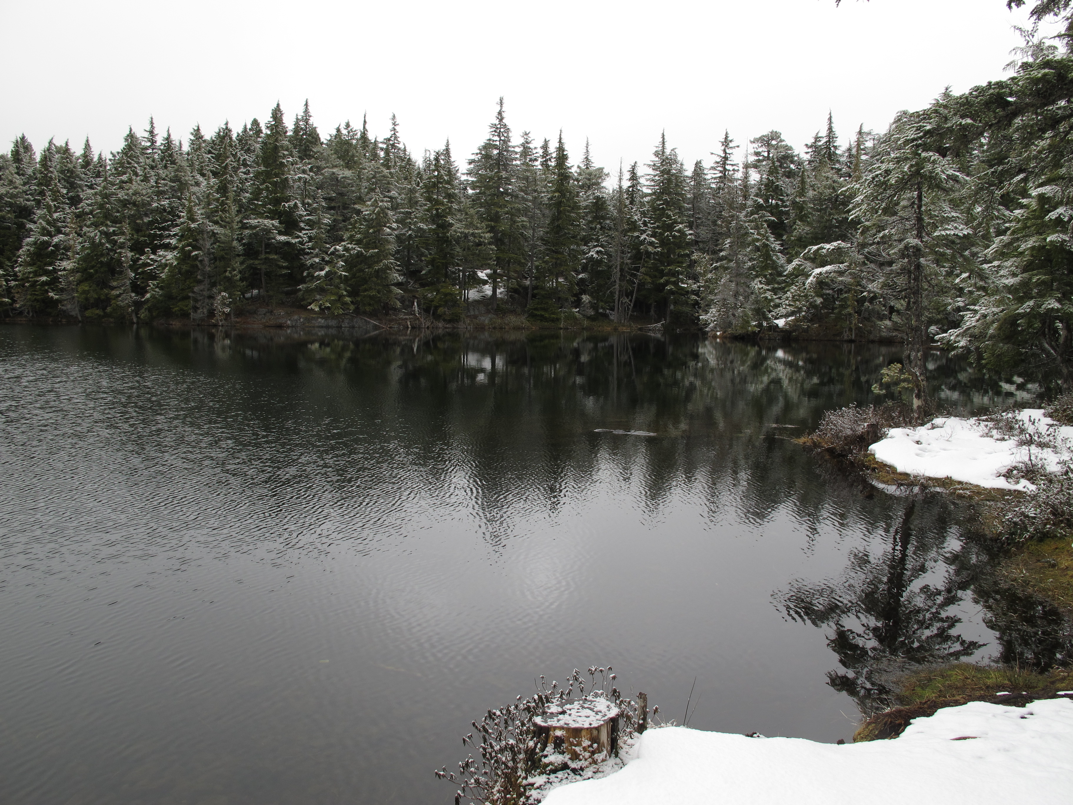
Texada Island - Bob's Lake
20150618-123900

20150618-125556
Topographic Map of Shelter Point Rd, Gillies Bay, BC V0N 1W0, Canada
Find elevation by address:

Places near Shelter Point Rd, Gillies Bay, BC V0N 1W0, Canada:
6871 Shelter Point Rd
Texada Island
Gillies Bay
4488 Sanderson Rd
Powell River D
Woodlyn Road
Black Point Store (1981) Ltd
3616 Padgett Rd
Van Anda
Conn Road
Nicholas Avenue
3480 Tweedsmuir Ave
3484 Tweedsmuir Ave
3615 Bc-101
3615 Bc-101
Spectacle Lake
7060 Lytton St
7550 Duncan St
Powell River
Walmart Powell River Store
Recent Searches:
- Elevation of Corso Fratelli Cairoli, 35, Macerata MC, Italy
- Elevation of Tallevast Rd, Sarasota, FL, USA
- Elevation of 4th St E, Sonoma, CA, USA
- Elevation of Black Hollow Rd, Pennsdale, PA, USA
- Elevation of Oakland Ave, Williamsport, PA, USA
- Elevation of Pedrógão Grande, Portugal
- Elevation of Klee Dr, Martinsburg, WV, USA
- Elevation of Via Roma, Pieranica CR, Italy
- Elevation of Tavkvetili Mountain, Georgia
- Elevation of Hartfords Bluff Cir, Mt Pleasant, SC, USA