Elevation of Sanderson Rd, Madeira Park, BC V0N 2H0, Canada
Location: Canada > British Columbia > Powell River > Powell River D > Gillies Bay >
Longitude: -124.49129
Latitude: 49.6733965
Elevation: 22m / 72feet
Barometric Pressure: 101KPa
Elevation Map:
Satellite Map:
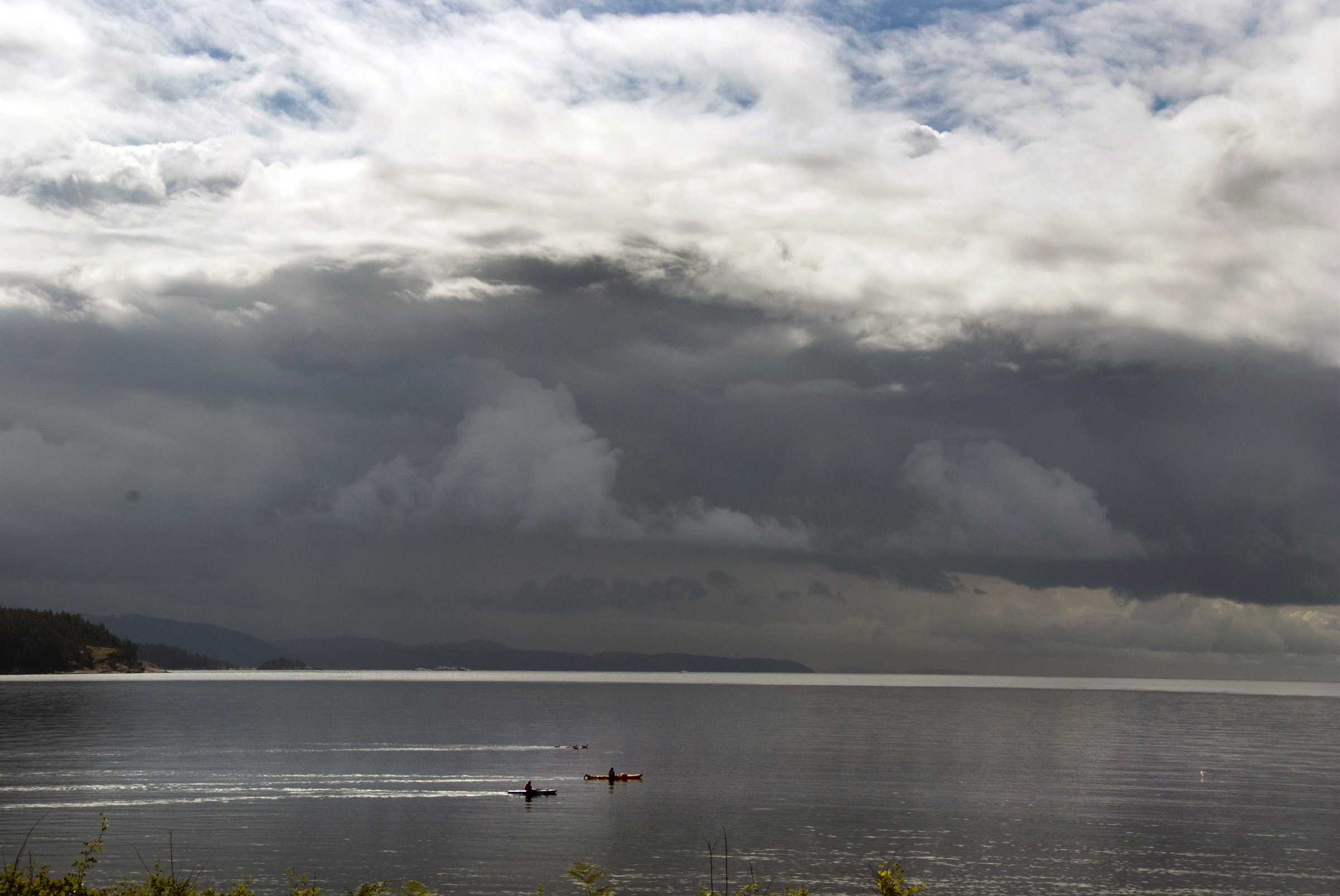
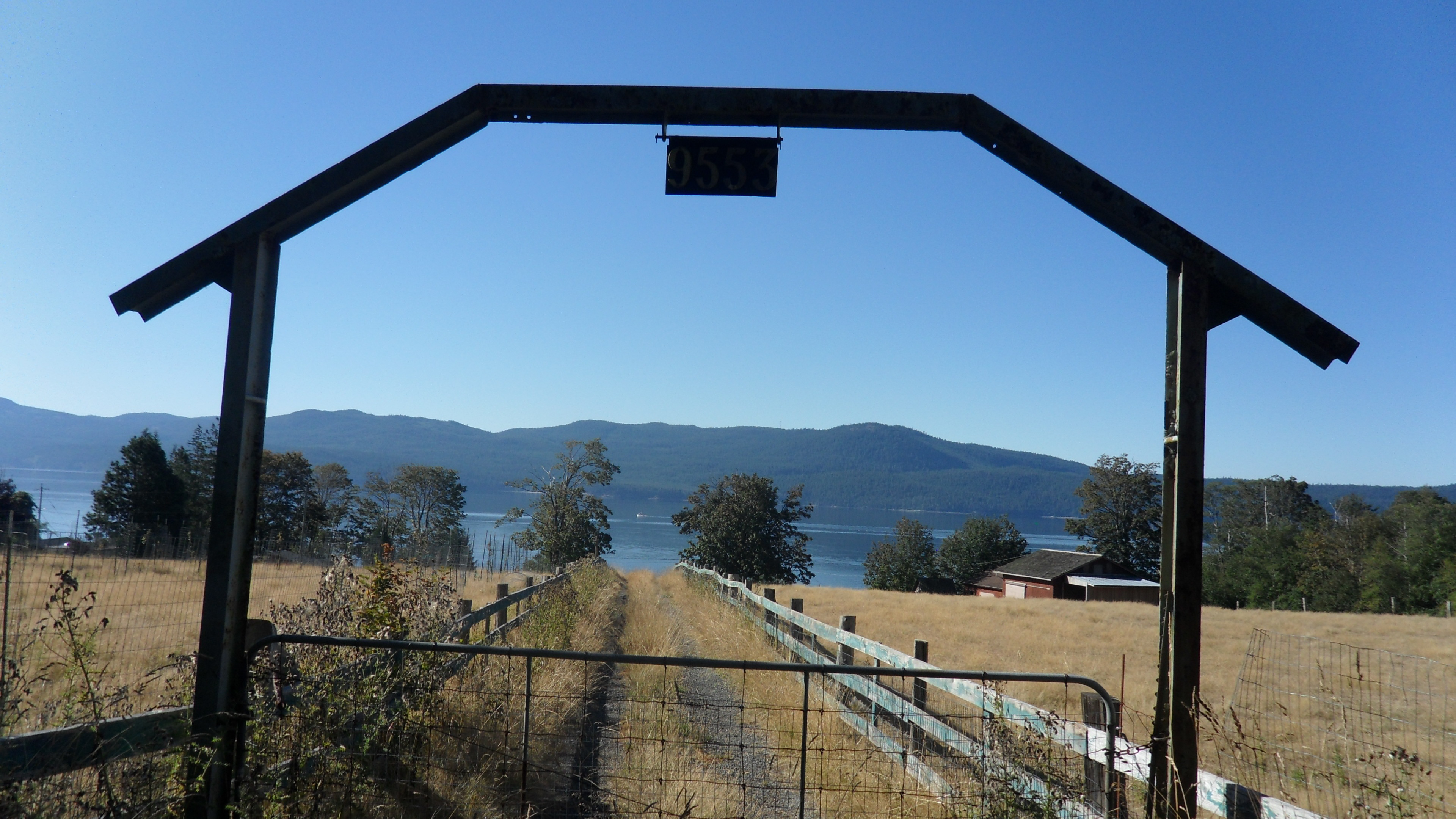
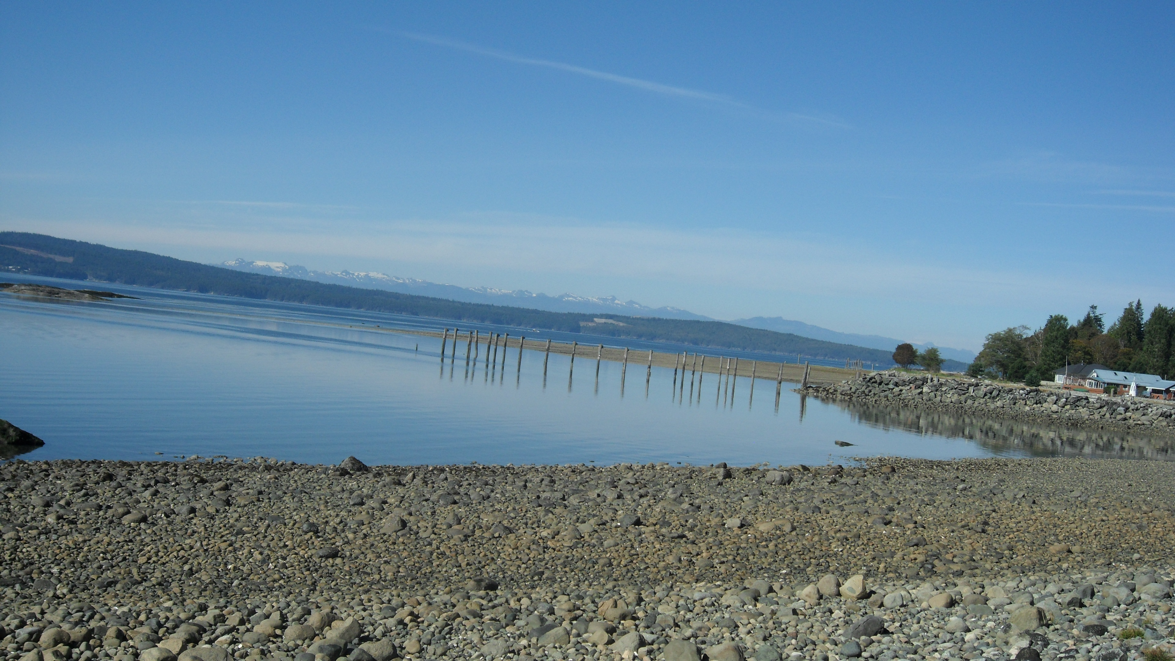
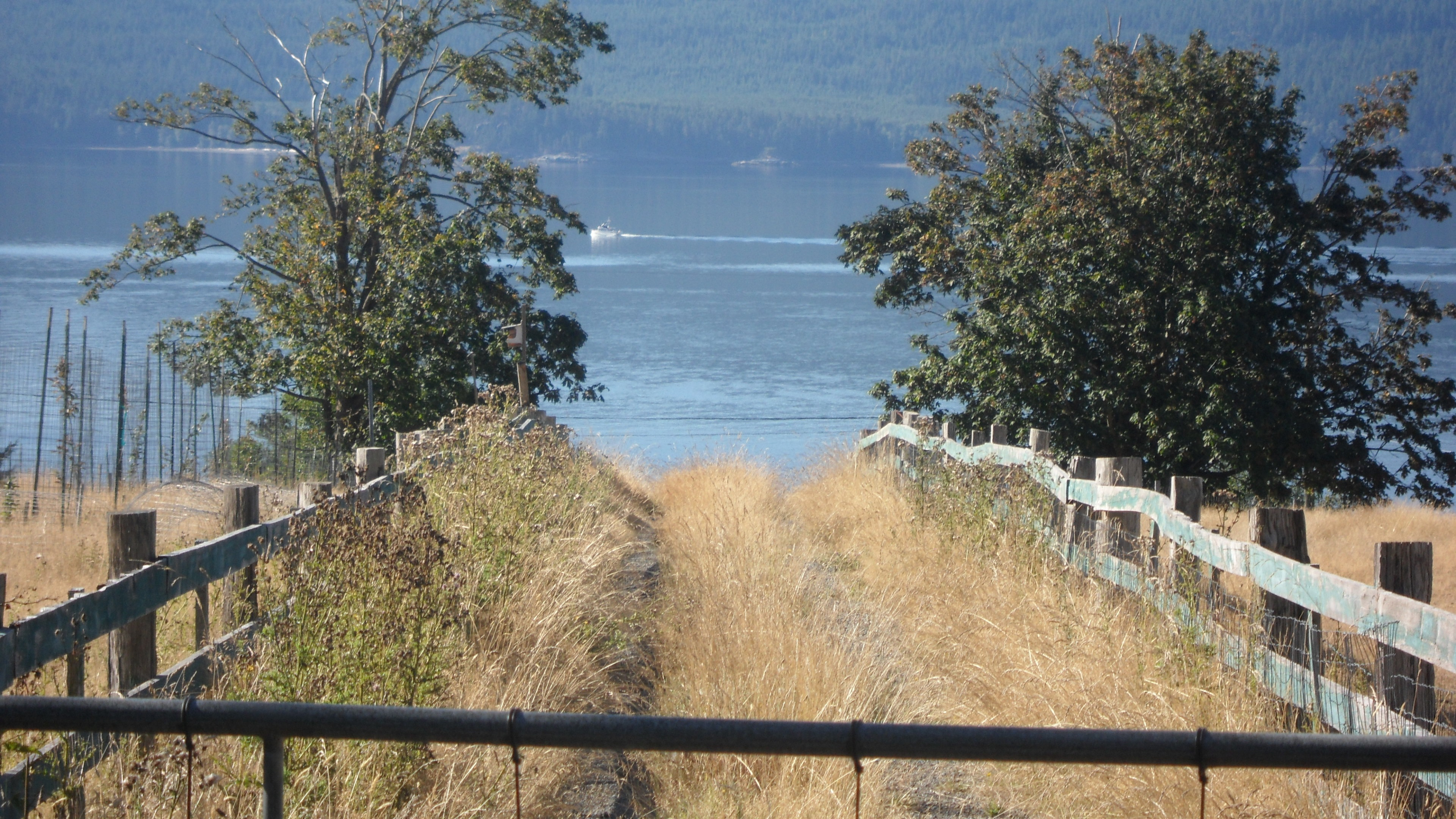
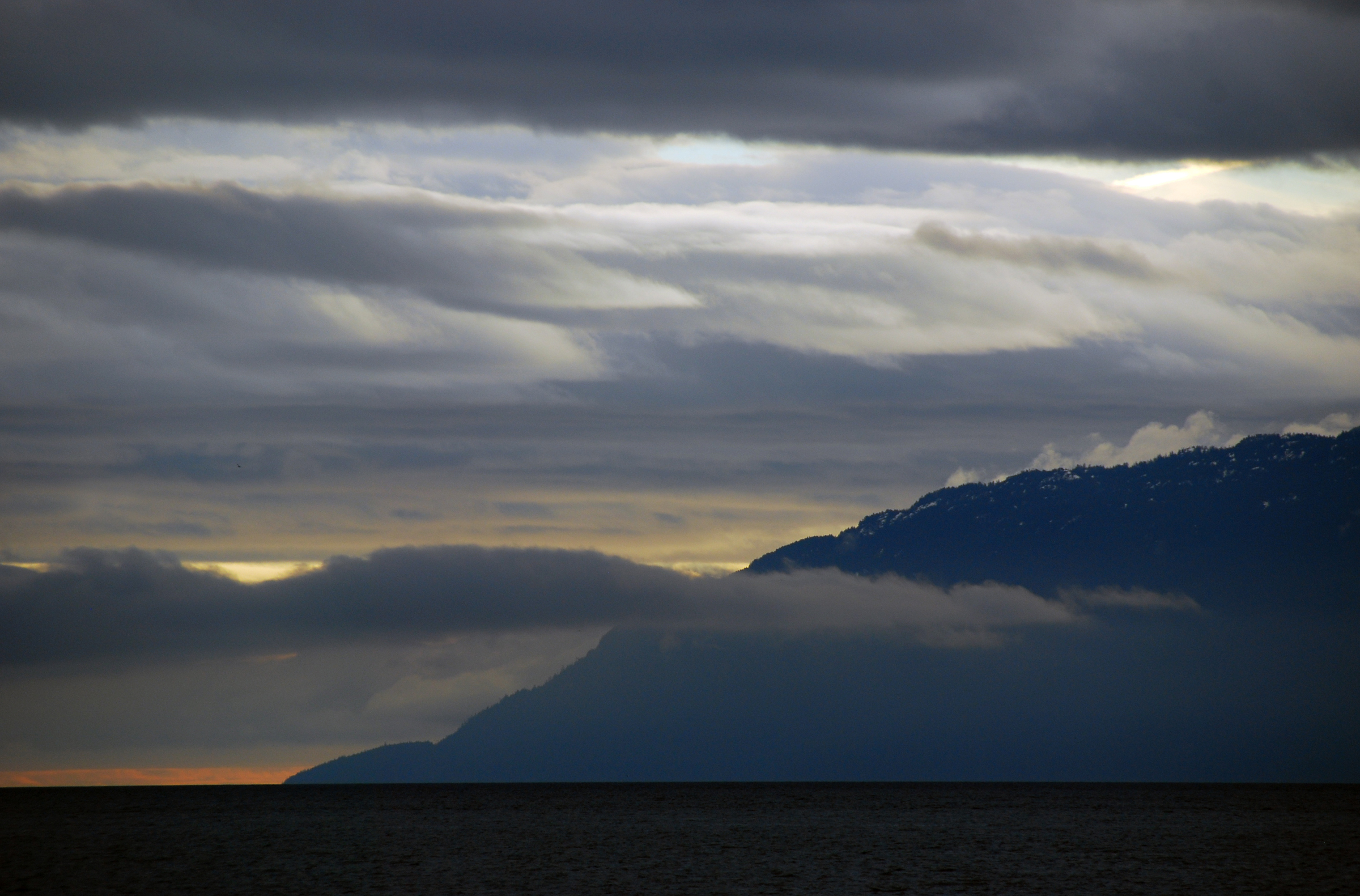
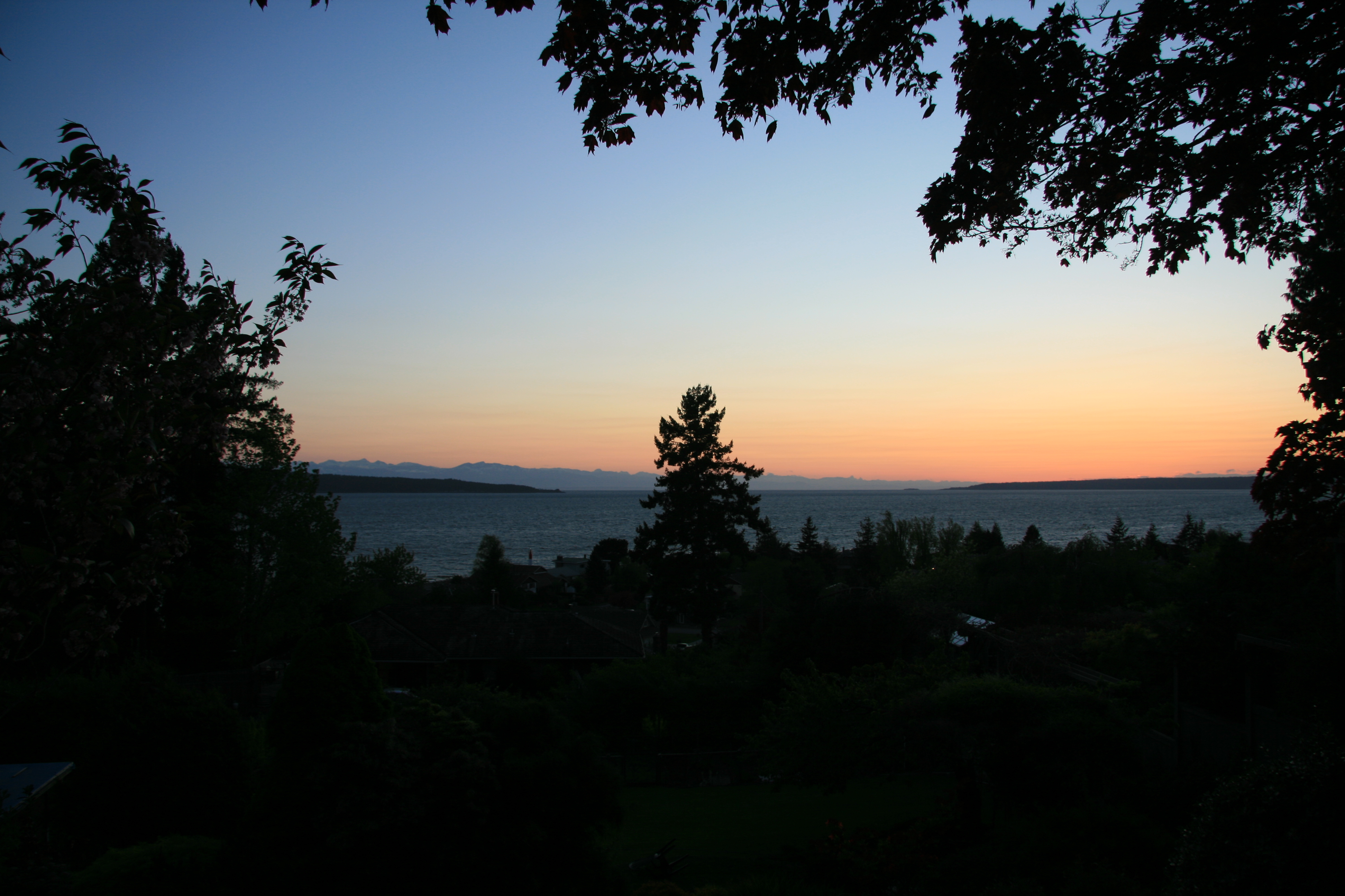
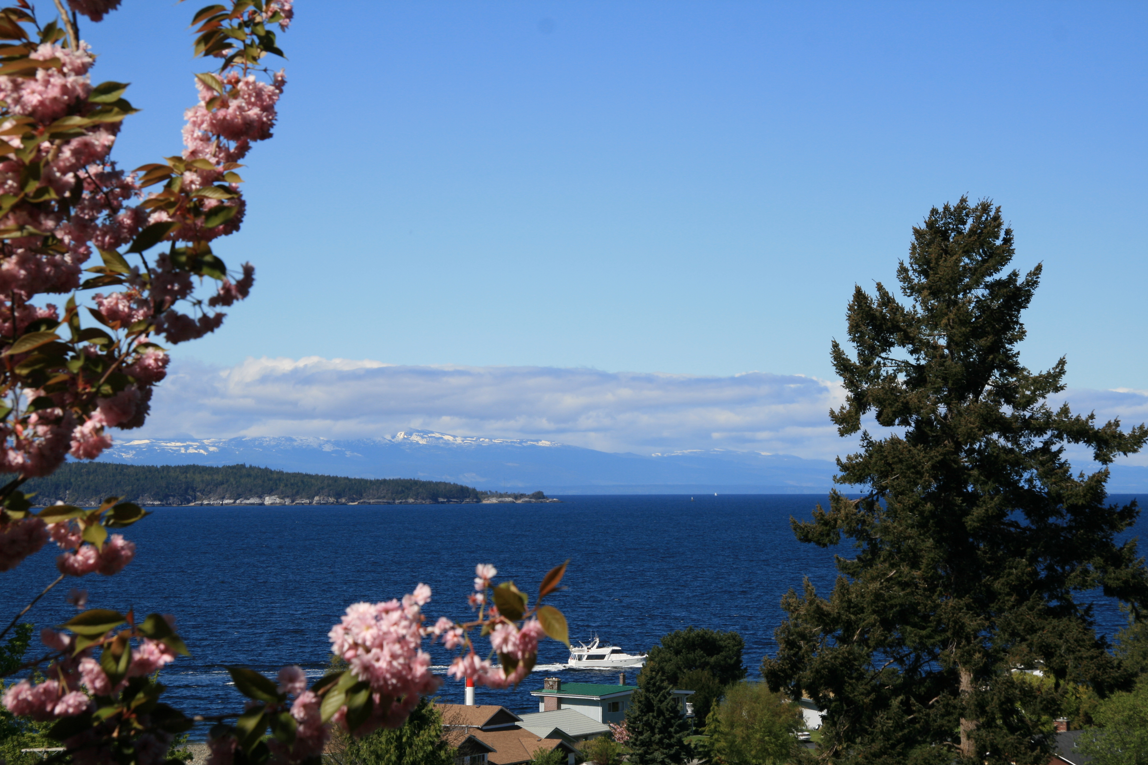
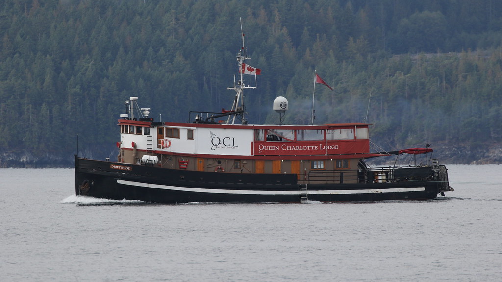
Related Photos:

8 Ferry Bike Tour - 23 of 30.jpg
big morning
8 Ferry Bike Tour - 19 of 30.jpg

8 Ferry Bike Tour - 25 of 30.jpg
8 Ferry Bike Tour - 22 of 30.jpg
8 Ferry Bike Tour - 20 of 30.jpg

Sunshine Coast
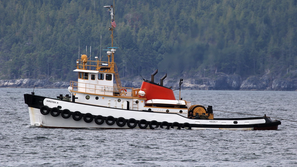
Kirsten H
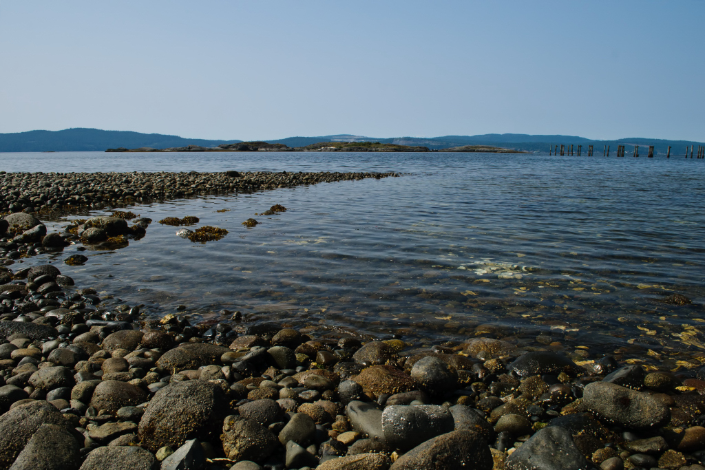
Pretty Beach in Powell River

St Eval
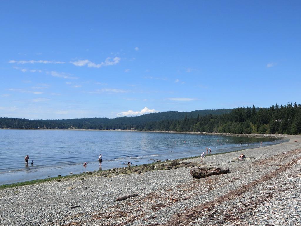
Shelter Point Park
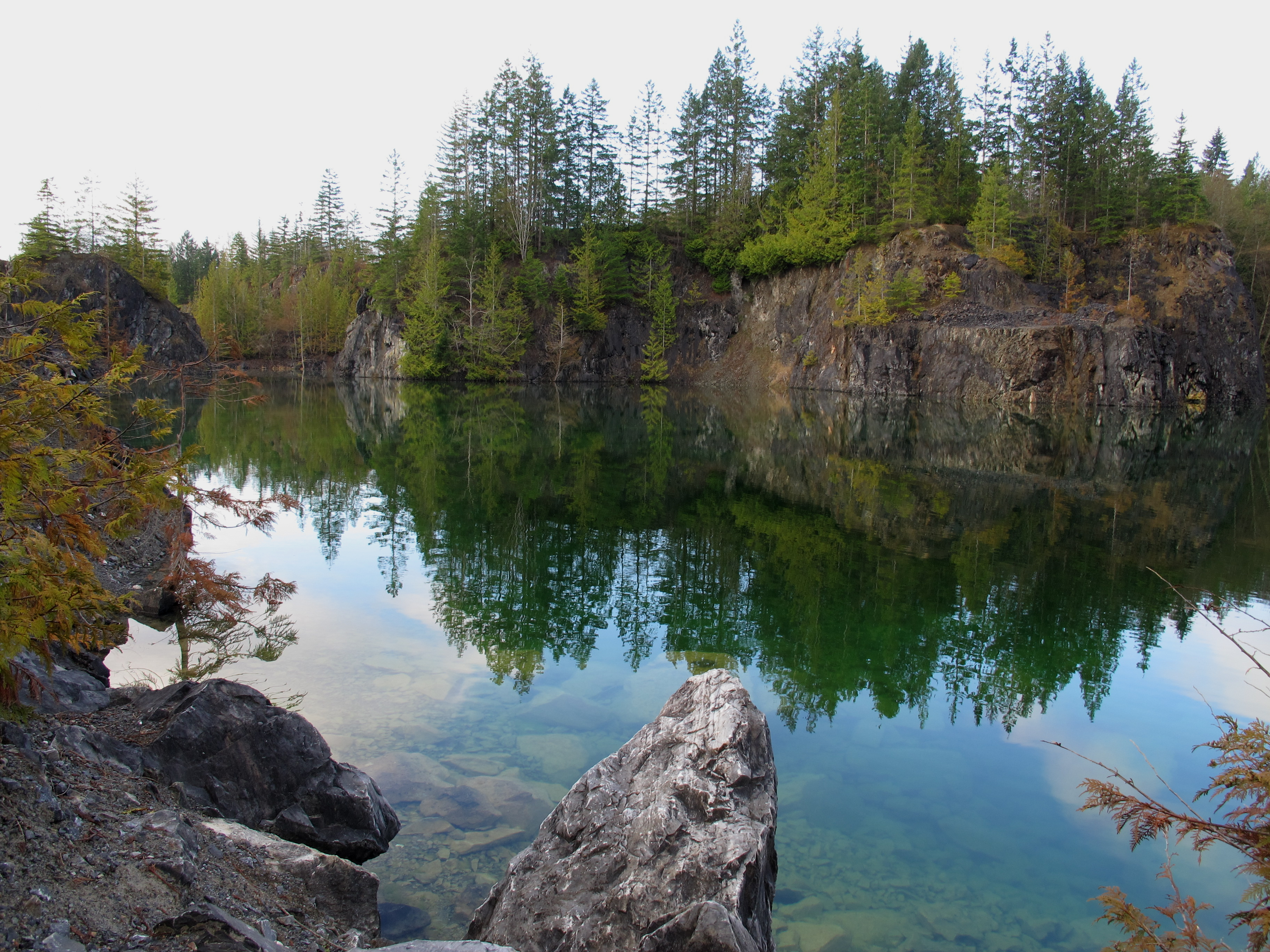
Texada Island - Blubber Bay Quarry
slow morning
IMG_1097.JPG

Texada Island - Blubber Bay Quarry
IMG_0808.JPG
End of the Season
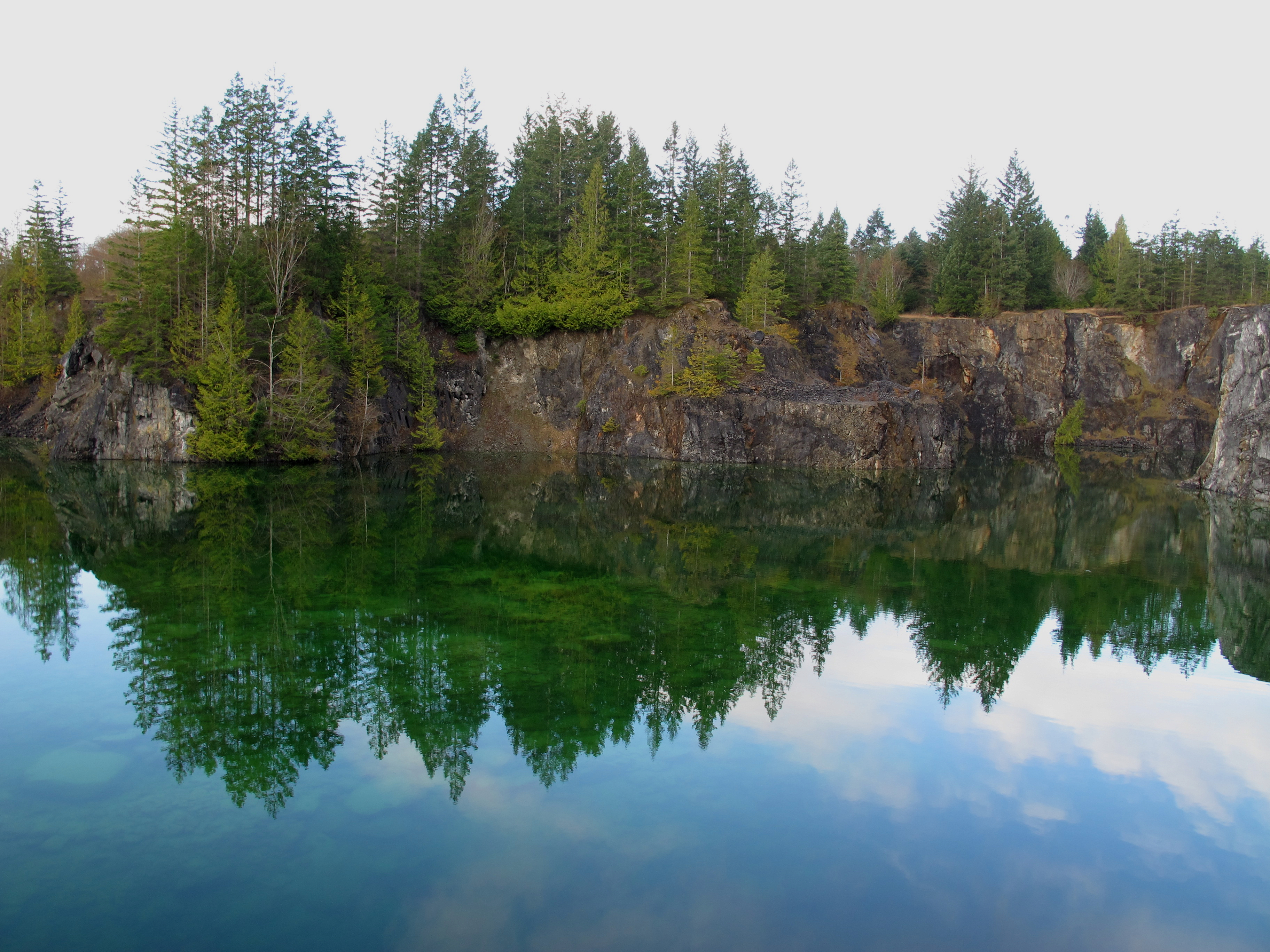
Texada Island - Blubber Bay Quarry
The Lois river
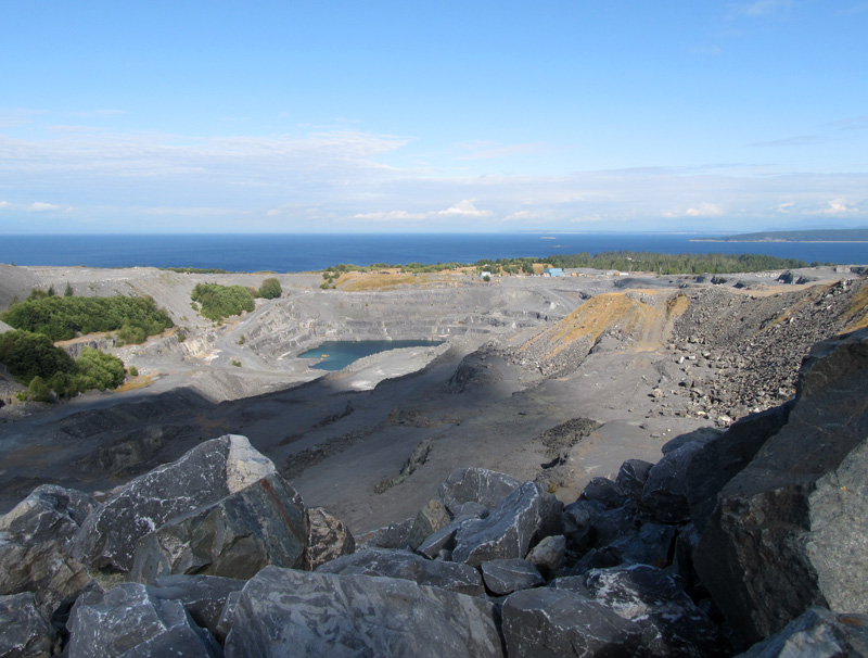
Open Pit

Billy H

20150618-125556
Topographic Map of Sanderson Rd, Madeira Park, BC V0N 2H0, Canada
Find elevation by address:

Places near Sanderson Rd, Madeira Park, BC V0N 2H0, Canada:
Gillies Bay
Powell River D
6871 Shelter Point Rd
6871 Shelter Point Rd
Texada Island
Van Anda
Nicholas Avenue
Spectacle Lake
Woodlyn Road
Black Point Store (1981) Ltd
3616 Padgett Rd
3480 Tweedsmuir Ave
3484 Tweedsmuir Ave
3615 Bc-101
3615 Bc-101
7060 Lytton St
7550 Duncan St
Powell River
Re/max Powell River
Walmart Powell River Store
Recent Searches:
- Elevation of Corso Fratelli Cairoli, 35, Macerata MC, Italy
- Elevation of Tallevast Rd, Sarasota, FL, USA
- Elevation of 4th St E, Sonoma, CA, USA
- Elevation of Black Hollow Rd, Pennsdale, PA, USA
- Elevation of Oakland Ave, Williamsport, PA, USA
- Elevation of Pedrógão Grande, Portugal
- Elevation of Klee Dr, Martinsburg, WV, USA
- Elevation of Via Roma, Pieranica CR, Italy
- Elevation of Tavkvetili Mountain, Georgia
- Elevation of Hartfords Bluff Cir, Mt Pleasant, SC, USA