Elevation of Shell Rd, Atlantic, NC, USA
Location: United States > North Carolina > Carteret County > Atlantic >
Longitude: -76.34619
Latitude: 34.880133
Elevation: 2m / 7feet
Barometric Pressure: 101KPa
Elevation Map:
Satellite Map:
Related Photos:
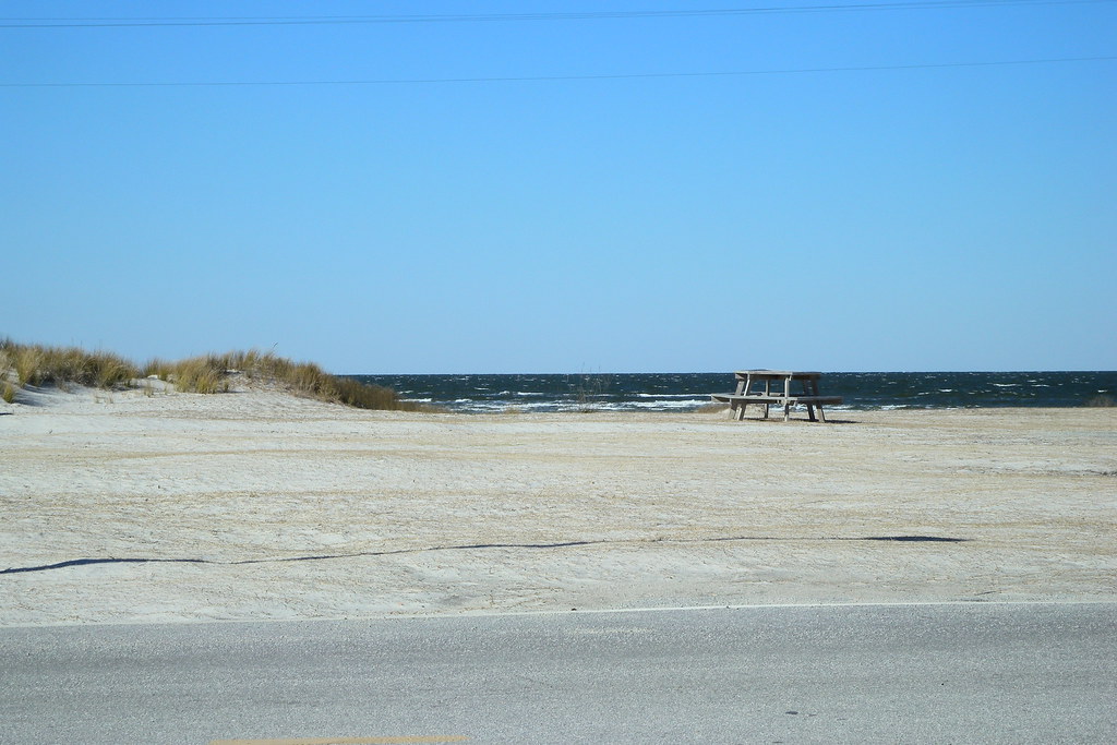
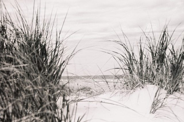
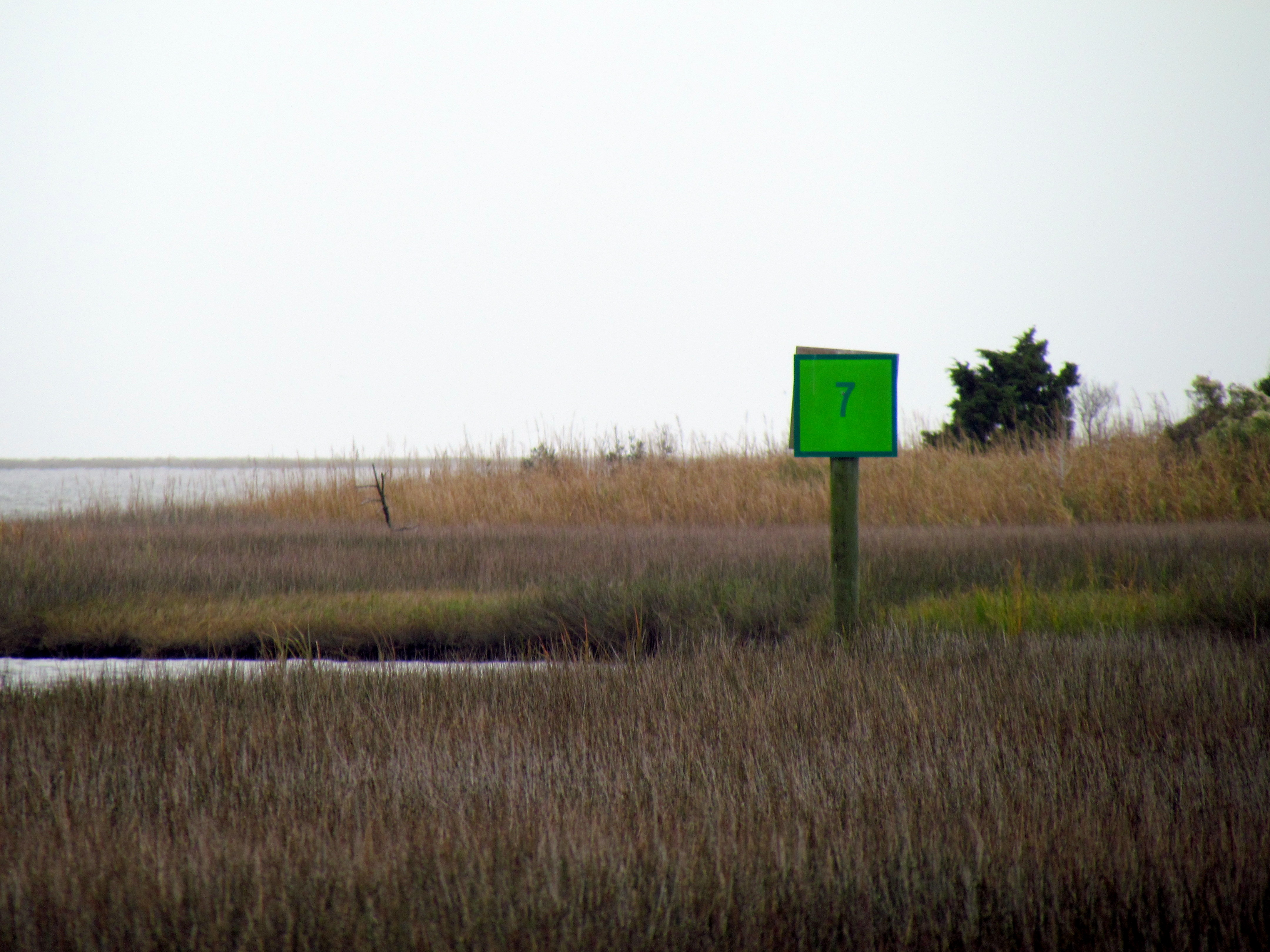
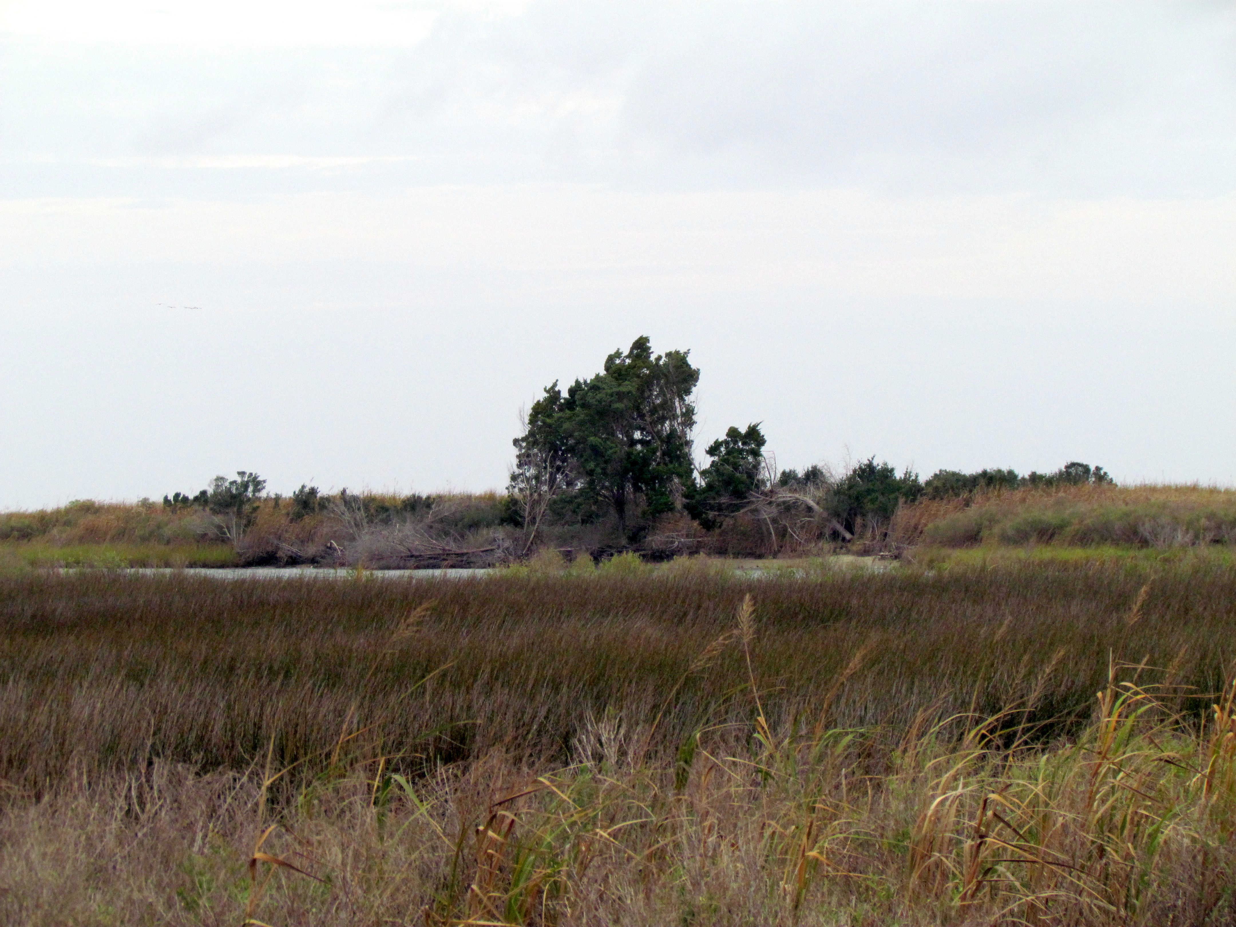
Cedar Island view
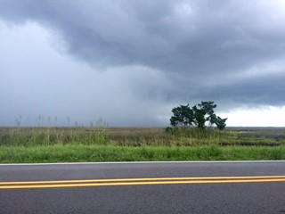
V16-044-Kimberly Brookshire-In the Storm
"My escape is to just get on a boat and disappear on the water." -Carl Hiaasen
DSC_6931 (Copy)
garage2-R2-039-18
DSC_6941 (Copy)
Cedar Island Vista #iphonephotography #northcarolinalandscape #northcarolina #mexturesapp #snapseed

20110502_usa_1089-Edit
The sea is angry today

Storm getting closer
29 Cedar Island Refuge Down East NC 6325
14 Cedar Island Refuge Down East NC 6309
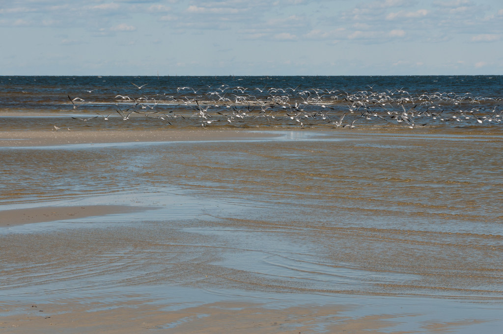
Taking flight - Cedar Island Ferry Terminal
28 Cedar Island Refuge Down East NC 6324
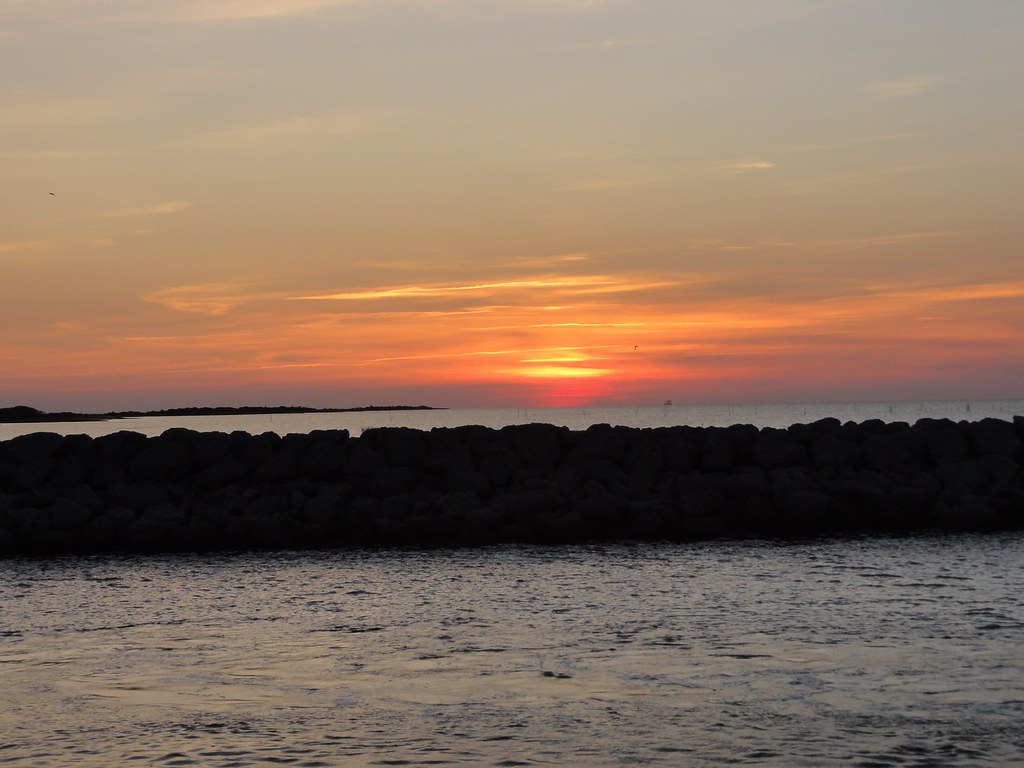
OBX Sunset

Sunrise at Cedar Island
DSC_7019 (Copy)
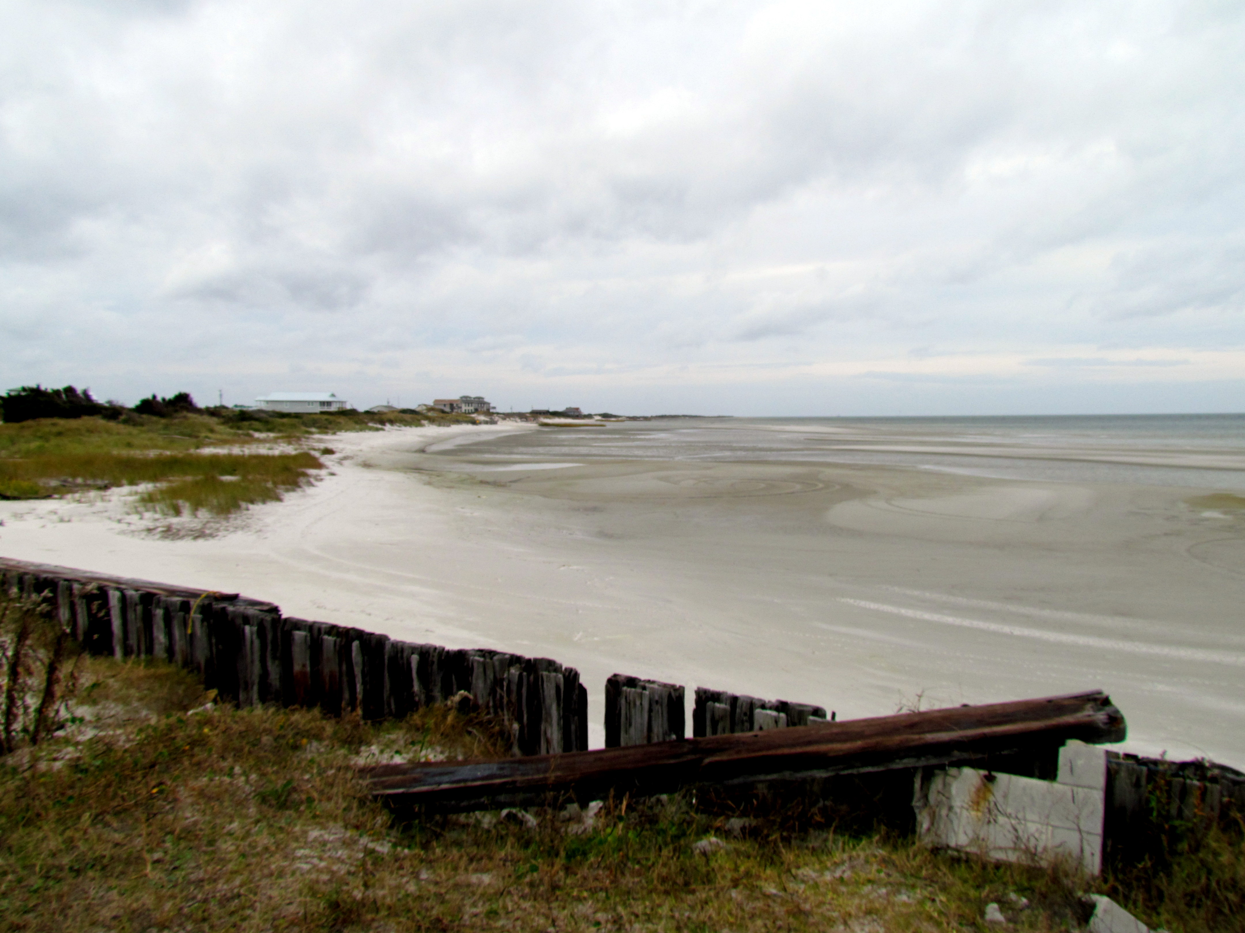
Cape Lookout NC. 2014
27 Cedar Island Refuge Down East NC 6323

DSC_7016 (Copy)
DSC_7010 (Copy)
Topographic Map of Shell Rd, Atlantic, NC, USA
Find elevation by address:

Places near Shell Rd, Atlantic, NC, USA:
706 Seashore Dr
Seashore Drive
148 Hammock Ln
Shell Rd, Atlantic, NC, USA
Atlantic
128 Salter Ln
176 Salter Dr
151 Seafood Ln
160 Fulcher Dr
246 Lee Daniels Rd
429 Shell Rd
161 Lee Daniels Rd
496 Seashore Dr
Atlantic, NC, USA
Atlantic
137 U.s. 70
134 Seashore Dr
Nelson Neck Rd, Sealevel, NC, USA
399 Nelson Neck Rd
604 Hwy 70 Sea Level #6
Recent Searches:
- Elevation of Corso Fratelli Cairoli, 35, Macerata MC, Italy
- Elevation of Tallevast Rd, Sarasota, FL, USA
- Elevation of 4th St E, Sonoma, CA, USA
- Elevation of Black Hollow Rd, Pennsdale, PA, USA
- Elevation of Oakland Ave, Williamsport, PA, USA
- Elevation of Pedrógão Grande, Portugal
- Elevation of Klee Dr, Martinsburg, WV, USA
- Elevation of Via Roma, Pieranica CR, Italy
- Elevation of Tavkvetili Mountain, Georgia
- Elevation of Hartfords Bluff Cir, Mt Pleasant, SC, USA