Elevation of Sheffield, IA, USA
Location: United States > Iowa > Franklin County >
Longitude: -93.211868
Latitude: 42.8944129
Elevation: 329m / 1079feet
Barometric Pressure: 97KPa
Elevation Map:
Satellite Map:
Related Photos:

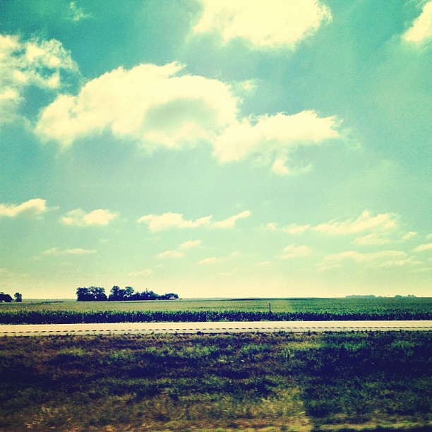
Big sky

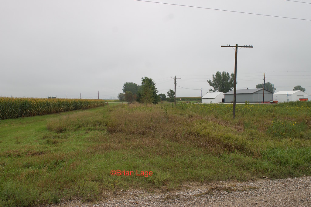
Change of scenery.
Welcome to Iowa

up 4937chapin

Beeds Lake Spillway

Last home game

Last home game daaayyy
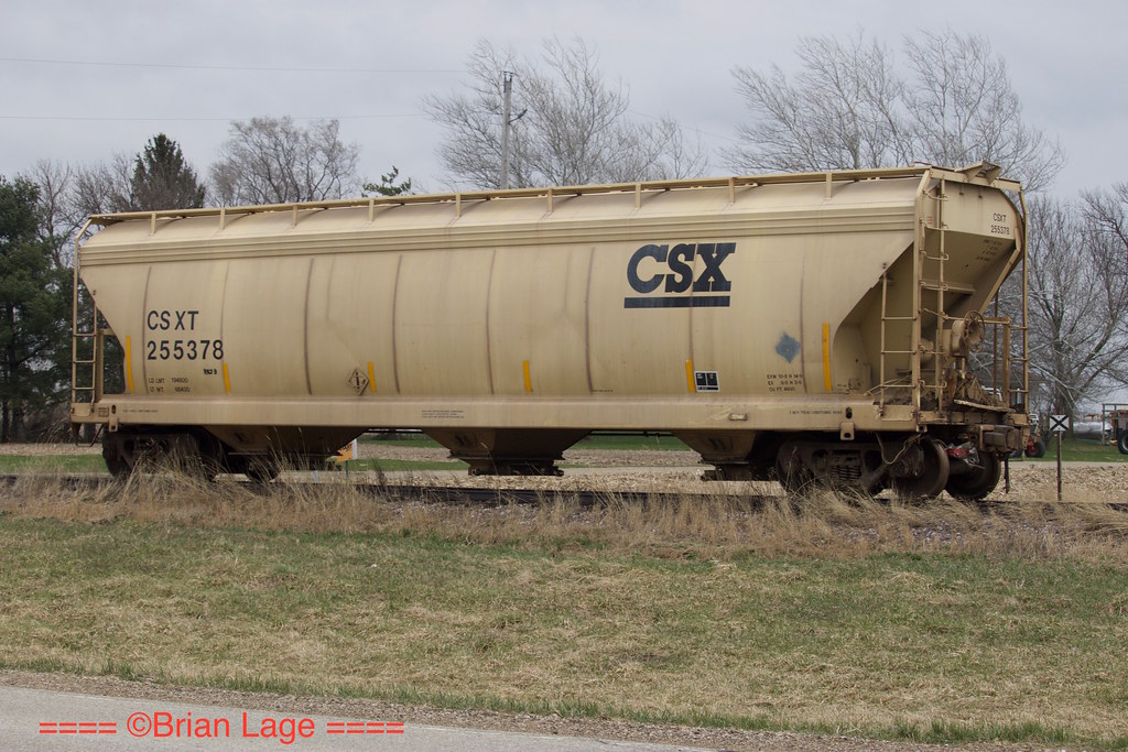
CSXT 255378

Beed's Lake State Park

Beed's Lake State Park

4 Years

Beed's Lake State Park
Rockwell Ag Center, kinda
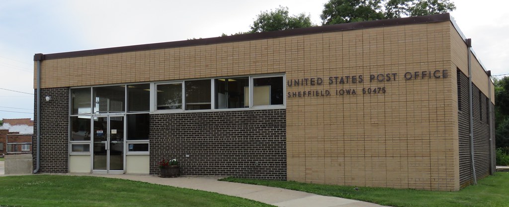
Post Office 50475 (Sheffield, Iowa)

Besökare Samtidigt
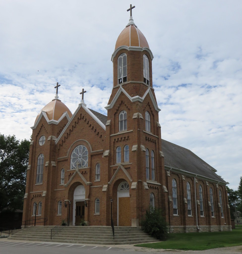
Sacred Heart Catholic Church (Rockwell, Iowa)
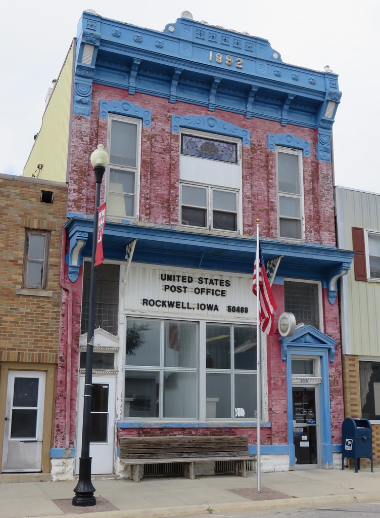
Post Office 50469 (Rockwell, Iowa)
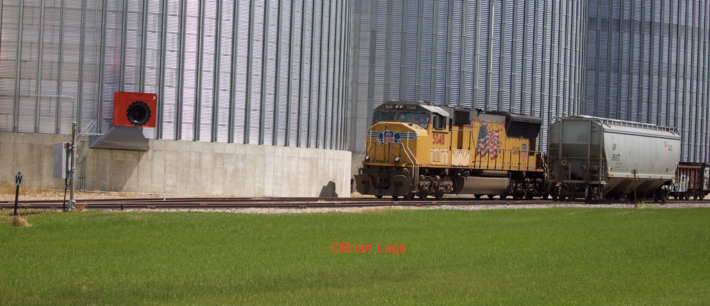
UP 5048 Chapin

Last home game

Last home game

Last home game

Last home game

Last home game

Last home game

Last home game

Last home game

Last home game

Last home game
Topographic Map of Sheffield, IA, USA
Find elevation by address:

Places in Sheffield, IA, USA:
Places near Sheffield, IA, USA:
N 3rd St, Sheffield, IA, USA
611 Thompson St
Geneseo
Rockwell
1st St N, Rockwell, IA, USA
Pleasant Valley
Swaledale
Main St, Swaledale, IA, USA
16954 200th St
Marion
Main Street
Larch St, Thornton, IA, USA
Thornton
Spruce Ave, Mason City, IA, USA
Owen
Franklin County
N Akir St, Latimer, IA, USA
Latimer
Mason
34 Main, Latimer, IA, USA
Recent Searches:
- Elevation of Corso Fratelli Cairoli, 35, Macerata MC, Italy
- Elevation of Tallevast Rd, Sarasota, FL, USA
- Elevation of 4th St E, Sonoma, CA, USA
- Elevation of Black Hollow Rd, Pennsdale, PA, USA
- Elevation of Oakland Ave, Williamsport, PA, USA
- Elevation of Pedrógão Grande, Portugal
- Elevation of Klee Dr, Martinsburg, WV, USA
- Elevation of Via Roma, Pieranica CR, Italy
- Elevation of Tavkvetili Mountain, Georgia
- Elevation of Hartfords Bluff Cir, Mt Pleasant, SC, USA