Elevation of Pleasant Valley, IA, USA
Location: United States > Iowa > Cerro Gordo County >
Longitude: -93.318747
Latitude: 42.952088
Elevation: 358m / 1175feet
Barometric Pressure: 97KPa
Elevation Map:
Satellite Map:
Related Photos:

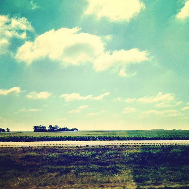
Big sky

Change of scenery.
Welcome to Iowa

Iowa Sunset

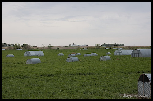
Paul Willis Farm - Niman Ranch Pork Company
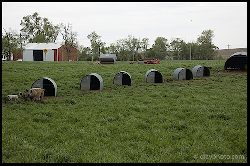
Paul Willis Farm - Niman Ranch Pork Company
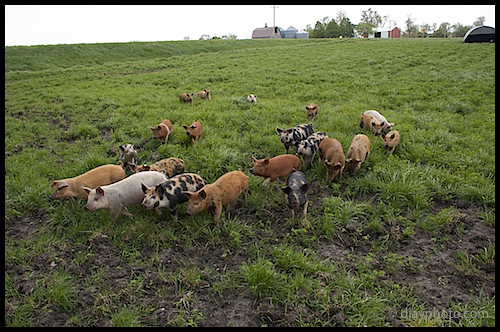
Paul Willis Farm - Niman Ranch Pork Company
Paul Willis Farm - Niman Ranch Pork Company

Paul Willis Farm - Niman Ranch Pork Company

I-35 Northern Iowa

Last home game

Last home game daaayyy
Topographic Map of Pleasant Valley, IA, USA
Find elevation by address:

Places in Pleasant Valley, IA, USA:
Places near Pleasant Valley, IA, USA:
Swaledale
Main St, Swaledale, IA, USA
Main Street
Larch St, Thornton, IA, USA
Thornton
611 Thompson St
N 3rd St, Sheffield, IA, USA
Geneseo
Grimes
Sheffield
Rockwell
1st St N, Rockwell, IA, USA
Meservey
1st St, Meservey, IA, USA
16954 200th St
South 32nd Street
S Lake View Dr, Clear Lake, IA, USA
Clear Lake
Marion
N Akir St, Latimer, IA, USA
Recent Searches:
- Elevation of Corso Fratelli Cairoli, 35, Macerata MC, Italy
- Elevation of Tallevast Rd, Sarasota, FL, USA
- Elevation of 4th St E, Sonoma, CA, USA
- Elevation of Black Hollow Rd, Pennsdale, PA, USA
- Elevation of Oakland Ave, Williamsport, PA, USA
- Elevation of Pedrógão Grande, Portugal
- Elevation of Klee Dr, Martinsburg, WV, USA
- Elevation of Via Roma, Pieranica CR, Italy
- Elevation of Tavkvetili Mountain, Georgia
- Elevation of Hartfords Bluff Cir, Mt Pleasant, SC, USA