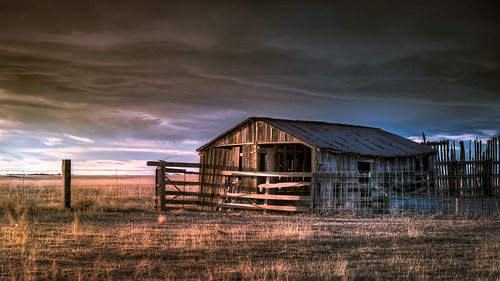
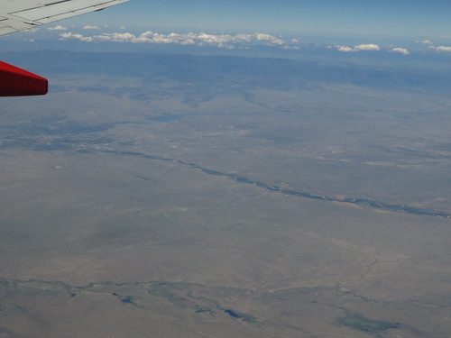
Elevation of Shear Rd, Yoder, CO, USA
Location: United States > Colorado > Yoder >
Longitude: -104.14780
Latitude: 38.6944728
Elevation: 1774m / 5820feet
Barometric Pressure: 82KPa
Related Photos:
Topographic Map of Shear Rd, Yoder, CO, USA
Find elevation by address:

Places near Shear Rd, Yoder, CO, USA:
Truckton
33455 Fossinger Rd
37480 Co-94
Yoder
29970 Sanborn Rd
3455 N Yoder Rd
5355 Ramah Hwy
5355 N Ramah Hwy
29950 Big Springs Rd
2285 E Ellicott Rd S
4687 Pipestem Ave
235 Longhorn Cattle Dr
Ellicott
10140 Berridge Rd
22525 Enoch Rd
16000 S Peyton Hwy
40325 Hoot Owl Rd
North Calhan Highway
17050 S Peyton Hwy
Paint Mines Interpretive Park
Recent Searches:
- Elevation of Corso Fratelli Cairoli, 35, Macerata MC, Italy
- Elevation of Tallevast Rd, Sarasota, FL, USA
- Elevation of 4th St E, Sonoma, CA, USA
- Elevation of Black Hollow Rd, Pennsdale, PA, USA
- Elevation of Oakland Ave, Williamsport, PA, USA
- Elevation of Pedrógão Grande, Portugal
- Elevation of Klee Dr, Martinsburg, WV, USA
- Elevation of Via Roma, Pieranica CR, Italy
- Elevation of Tavkvetili Mountain, Georgia
- Elevation of Hartfords Bluff Cir, Mt Pleasant, SC, USA


