Elevation of Shariatpur District, Bangladesh
Location: Bangladesh > Dhaka Division >
Longitude: 90.4347711
Latitude: 23.2423214
Elevation: 7m / 23feet
Barometric Pressure: 101KPa
Elevation Map:
Satellite Map:
Related Photos:

ফসলী জমিতে সেচ মাধ্যমে নালা দিয়ে পানি সরবরাহ করা হচ্ছে।

ধন ধান্নে পুস্পে ভরা আমাদের এই বসুন্ধরা

#beautiful #village #bangladesh

১৩ ছাত্রীর চুল কেটে দিলেন প্রধান শিক্ষিকা!

Chilling in my car
limon_luminography (97)

নৌকা (কোশা)

নৌকা (কোশা)

Cuty Girl

7D 85mm F1.8

শুভ নববর্ষ।

MaMaH aR VaGnE

Ato selfie

#আমার #পুরান #ছবি
2015-04-23_12-59-57

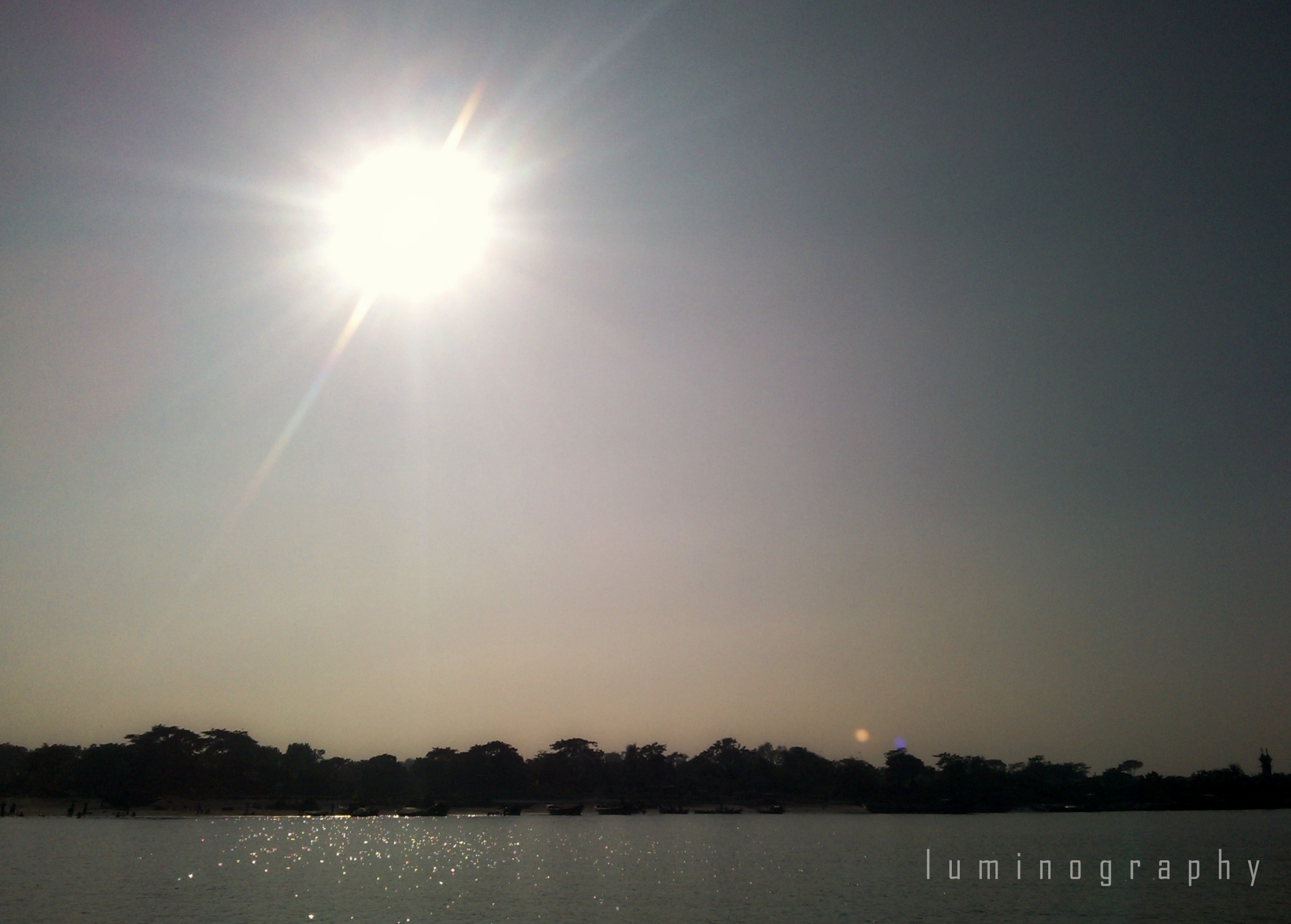
Sunrise through Morning mist
Topographic Map of Shariatpur District, Bangladesh
Find elevation by address:

Places in Shariatpur District, Bangladesh:
Places near Shariatpur District, Bangladesh:
Shakhipur
Shakhipur Police Station,shariatpur
Sakhipur
Chandpur
Madaripur District
Munshiganj District
Munshiganj
Bscic
Innovative Knitex Ltd.
Young4ever Textiles Ltd.
Narayanganj
Jamaldi
Fatullah
Motaleb Monowara Composite (pvt) Ltd.
Eurotex Knitwear Ltd.
Haziganj
Chandpur District
Godenail
Siddirganj (part)
Adamjee
Recent Searches:
- Elevation of Corso Fratelli Cairoli, 35, Macerata MC, Italy
- Elevation of Tallevast Rd, Sarasota, FL, USA
- Elevation of 4th St E, Sonoma, CA, USA
- Elevation of Black Hollow Rd, Pennsdale, PA, USA
- Elevation of Oakland Ave, Williamsport, PA, USA
- Elevation of Pedrógão Grande, Portugal
- Elevation of Klee Dr, Martinsburg, WV, USA
- Elevation of Via Roma, Pieranica CR, Italy
- Elevation of Tavkvetili Mountain, Georgia
- Elevation of Hartfords Bluff Cir, Mt Pleasant, SC, USA