Elevation of Shangla District, Pakistan
Location: Pakistan > Khyber Pakhtunkhwa >
Longitude: 72.7570024
Latitude: 34.8015083
Elevation: 1524m / 5000feet
Barometric Pressure: 84KPa
Elevation Map:
Satellite Map:
Related Photos:
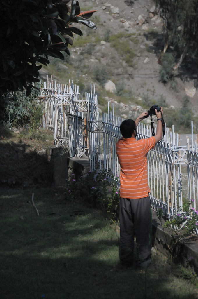
Don't Fence Afrazov In (Besham, NWF, Pakistan)
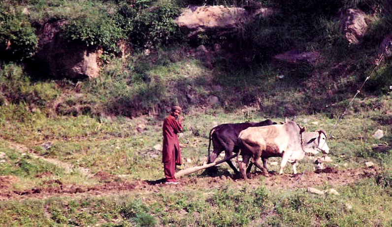
subsistence farming in NWFP

Random click of unknown velly the way back to buer...
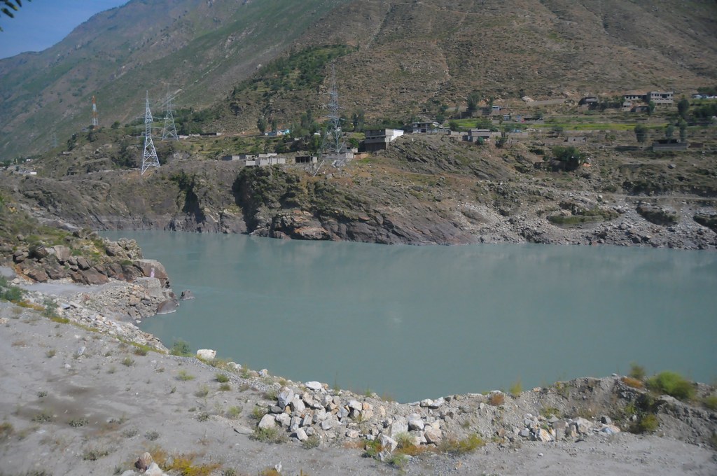
Powerful Indus (Besham, NWF, Pakistan)
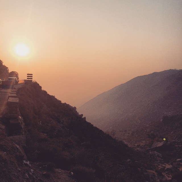
Way to sawat....butifull sunset....
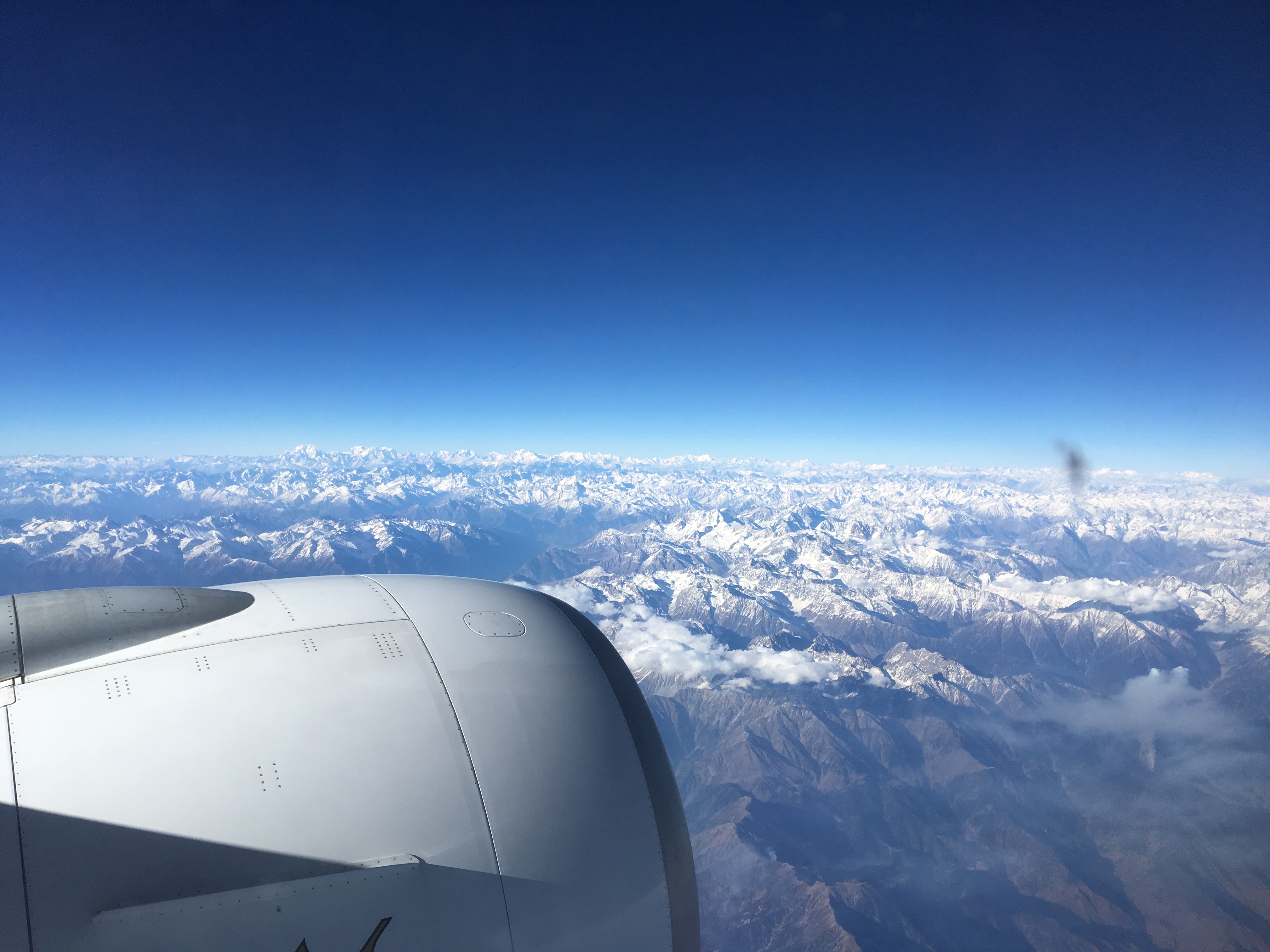
Flight EK308 from Dubai to Beijing - flying over Tibeth
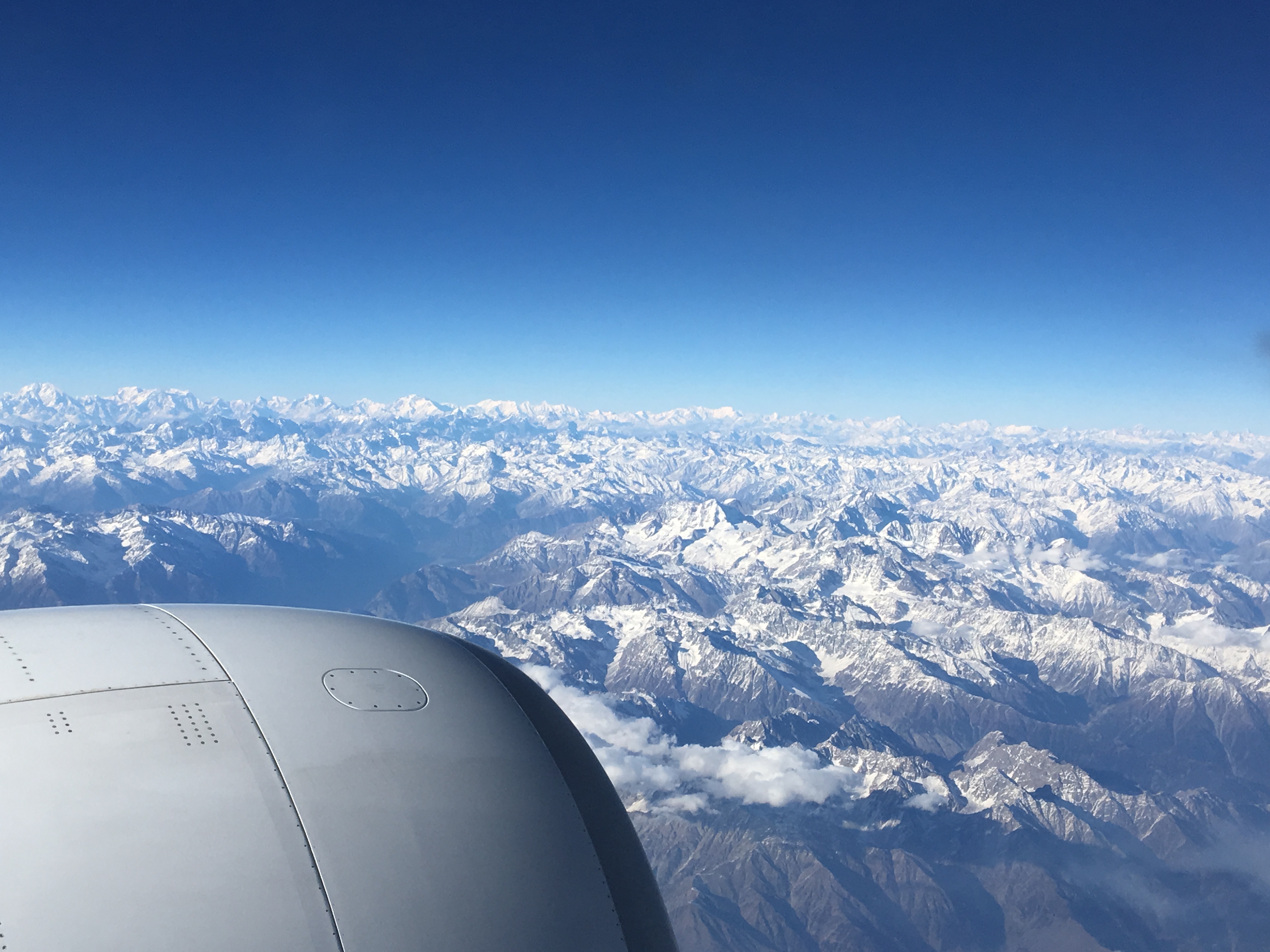
Flight EK308 from Dubai to Beijing - flying over Tibeth
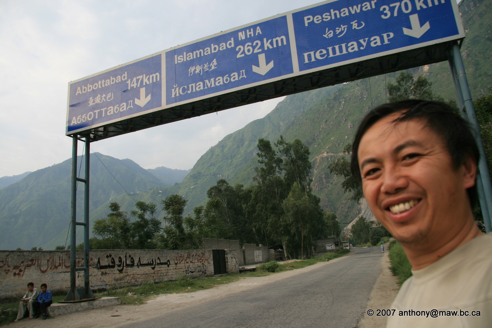
Northern Pakistan - Karakoram Highway Journey
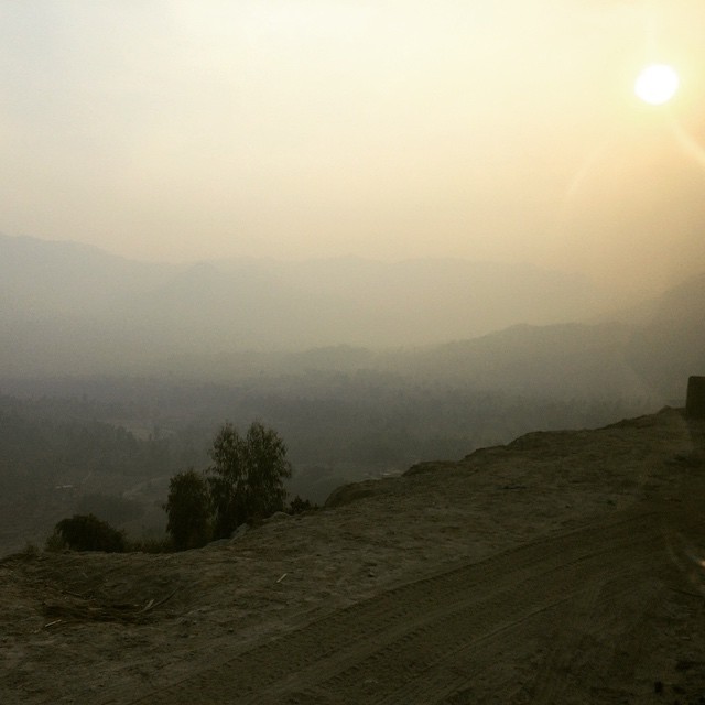
#SunSet during way back to buer #Road
Sawarii city....
Topographic Map of Shangla District, Pakistan
Find elevation by address:

Places in Shangla District, Pakistan:
Places near Shangla District, Pakistan:
Chakisar
Chiksar
Chakisar Road
Pir Sar
Besham City
Thakot
Shangla
Alpuri
Malam Jabba
Samsons Resort Malam Jabba
Dubair
Ranolia
Shingrai
Tor Ghar
Battagram
Sangar
University Of Swat
Banna
Batagram
Jambil Swat Kpk Pakistan
Recent Searches:
- Elevation of Corso Fratelli Cairoli, 35, Macerata MC, Italy
- Elevation of Tallevast Rd, Sarasota, FL, USA
- Elevation of 4th St E, Sonoma, CA, USA
- Elevation of Black Hollow Rd, Pennsdale, PA, USA
- Elevation of Oakland Ave, Williamsport, PA, USA
- Elevation of Pedrógão Grande, Portugal
- Elevation of Klee Dr, Martinsburg, WV, USA
- Elevation of Via Roma, Pieranica CR, Italy
- Elevation of Tavkvetili Mountain, Georgia
- Elevation of Hartfords Bluff Cir, Mt Pleasant, SC, USA