Elevation of Shafter, CA, USA
Location: United States > California > Kern County >

Longitude: -119.27177

Latitude: 35.5005139

Elevation: 106m / 348feet

Barometric Pressure: 100KPa

Elevation Map:

elevation map of Shafter, CA, USA
Satellite Map:

Satellite map of Shafter, CA, USA
Related Photos:

Sophia (Explored)
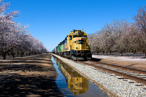
california santafe trains bnsf shafter emd gp392 remotecontrolloco
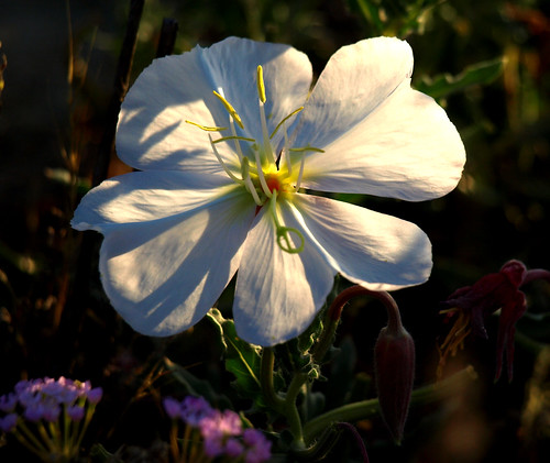
Blossoms and a Reflection
ca sunrise kerncounty
7-09 120
ca sunrise kerncounty
7-09 121
A View of the Lerdo Highway and Offramp California 99 Interchange
california valencia car square google colorful squareformat streetview iphoneography instagramapp uploaded:by=instagram
Google Maps Street View Car
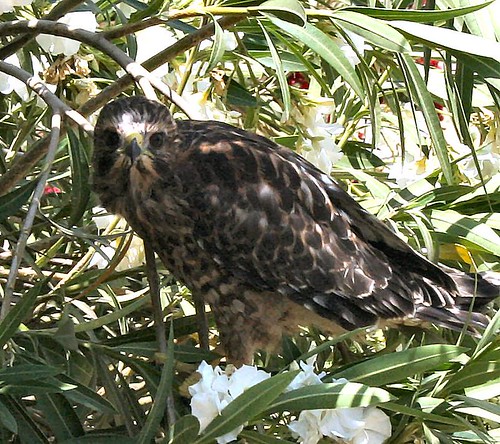
ca redtailhawk kerncounty
5-31-9 002
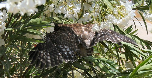
ca redtailhawk kerncounty
5-31-9 012
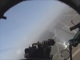
california arizona field airplane flying airport force mit aviation sony air wing b17 journey boeing minter fortress flyingfortress handycam commemorative sentimental sentimentaljourney shafter commemorativeairforce kmit arizonawing minterfield shafterairport
boeing b-17g buzzing the field v.1
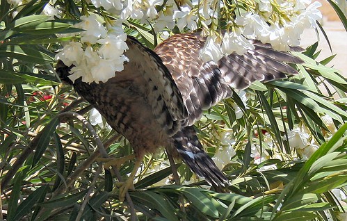
ca redtailhawk kerncounty
5-31-9 013
california arizona field airplane flying airport force mit aviation sony air wing b17 journey boeing minter fortress flyingfortress handycam commemorative sentimental sentimentaljourney shafter commemorativeairforce kmit arizonawing minterfield shafterairport
boeing b-17g buzzing the field v.2
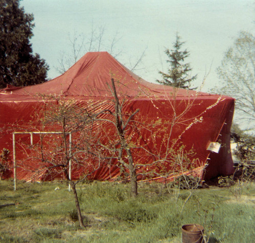
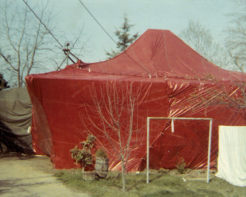
house termites wasco fumigation tented 652 poplarave
House in a Tent
selfportrait closeup meincloseview
6-23-9 026b
house termites wasco tented 652 poplarave fumigration
House in a Tent
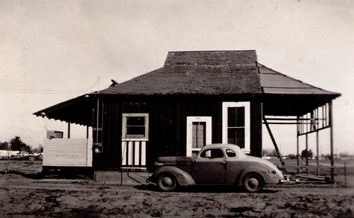
shafter euclidavenue
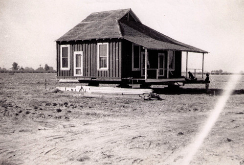
Shafter Home
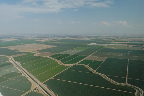
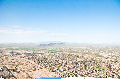
california sky usa river geotagged view farming aerial kern fields agriculture minter vue californie intensive aérienne shafter concreted kmit farwest2009
Man-made landscape
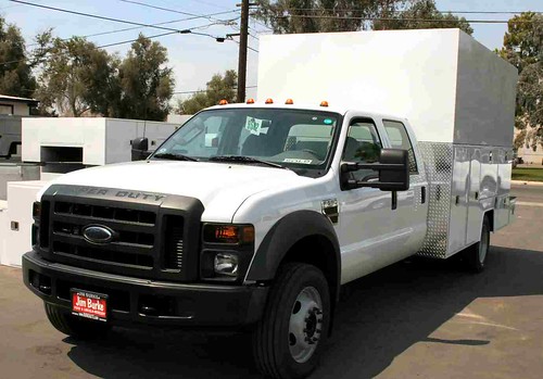
ca 2008 worktruck kerncounty custombuilt servicetruck fordf550 shockdoc douglasbed
8-13-7 033
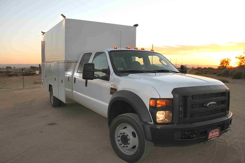
ca 2008 worktruck kerncounty custombuilt servicetruck fordf550 shockdoc douglasbed
9-4-7 007
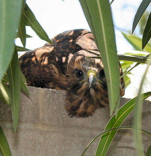
ca redtailhawk kerncounty
5-31-9a 004
new truck service
11-19-07 054
shafter euclidavenue
Shafter House
weather mobile onthego snapshot cellphone iphone
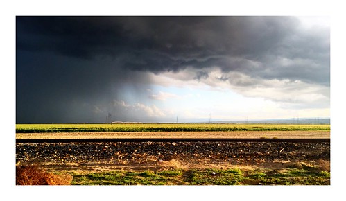
Bakersfield Thunderstorms
california landscape grid travels nikon highway fav50 towers roadtrip fav20 explore interstate exit electrical fav30 discovery frontpage ontheroad distribution centralvalley d800 70200mm hightension fav10 fav100 fav200 fav300 explored fav40 fav60 fav90 fav80 fav70 25000v roadsidedistraction fav500 nikond800 fav400 fav600 elmofoto lorenzomontezemolo flickrmarketplace flickrlicensing
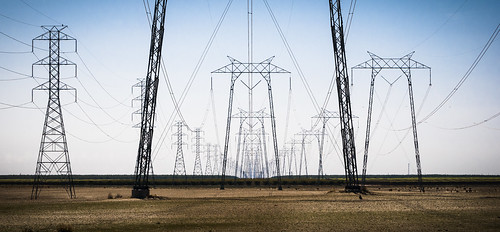
the gunslingers | central valley, california
square squareformat iphoneography instagramapp uploaded:by=instagram foursquare:venue=4cf06670cc61a35ddea00e9e
One of my fav pictures from our #Yosemite trip. #landscapeporn #nature #travel #canon #instahub #igsg #igersmexico #colors #startliving #rocks #cantwaitforsummer2013 #instanature #parks #beauty
square squareformat iphoneography instagramapp xproii uploaded:by=instagram
#Morning #CA #Bakersfield #6am #morningphoto #photooftheday #photography #picoftheday #themymy
california clouds easter spring morrobay eastersunday highway46 2013 elizabethhaslamphotograhycom
Easter green.
california ca blue sky plants green field digital canon lens landscape photography eos is photo kevin skies angle farm wide dyer clear 7d fields greenery farms 28 usm depth f28 bakersfield 1755mm
depth of field
travel highway unitedstates roadtrip missouri
Road Trip 201212070234
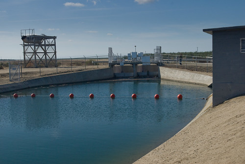
california water canal usbr
2008.1105_JTP_6192
california ranch county 120 6x6 mamiya film strange sign statue analog rural america fence mediumformat giant square landscape typography 50mm cow big highway cattle i5 kodak farm kitsch landmark ishootfilm kern odd american signage land type americana interstate analogue roadside agriculture mamiya6 portra bakersfield buttonwillow centralvalley typology rosedale 58 typographic eastbound emulsion 160 ca58 primes hwy58 f4l eyetwist kodakportra160 6mf mamiya6mf ishootkodak epsonv750pro rosedalehwy filmexif filmtagger eyetwistkevinballuff colornegativec41 since1862 mamiya50mmf4l iconla buttonwillowlandcattle
the big cow. buttonwillow, ca. 2015.
arizona tucson
  
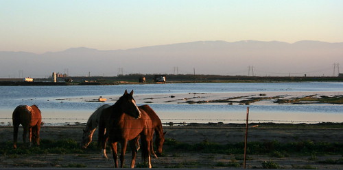
ca sunset horses water ponds grazing kerncounty enoslane
Horses on S.R. 58
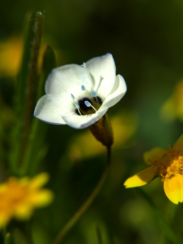
california flowers trees sunset urban plants sun mountains color macro nature floral beauty grass leaves gardens rural sunrise landscapes spring flora rocks landscaping vibrant scenic trails hills wildflowers roads kpa shrubs brilliant taft grasslands bakersfield springtime valleys hillsides kerncounty
Wildflowers 2011 P0012
california landscape bakersfield centralvalley stateroute58
Buttonwillow Land & Cattle Company
california landscape flickr unitedstates
Dust Devil near Bakersfield
Enos Weir
flowers trees plants mountains color nature floral beauty grass rural landscapes spring flora rocks vibrant scenic trails hills wildflowers roads shrubs grasslands springtime valleys hillsides county” “kern
California Wildflowers 2010 308
california flowers horses chickens water fruits vegetables grass clouds rural reflections landscape landscapes corn cows sheep farming blossoms grain barns lakes farmland canals kern haystacks cotton rivers almonds farms crops hay agriculture tractors grassland ponds bakersfield legumes orchards plows rangeland ranches ranchland
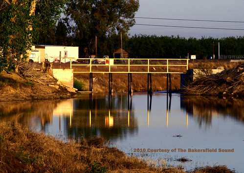
Kern Waterways
flowers trees plants mountains color nature floral beauty grass rural landscapes spring flora rocks vibrant scenic trails hills wildflowers roads shrubs grasslands springtime valleys hillsides county” “kern
Pelican Dawn
light sunset sun water night landscape
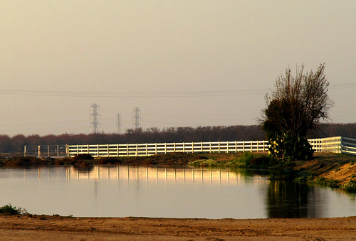
Sun on the Pond