Elevation of Shady Rill Rd, Middlesex, VT, USA
Location: United States > Vermont > Washington County > Middlesex >
Longitude: -72.611209
Latitude: 44.3440821
Elevation: 364m / 1194feet
Barometric Pressure: 97KPa
Elevation Map:
Satellite Map:
Related Photos:
Peak Vermont
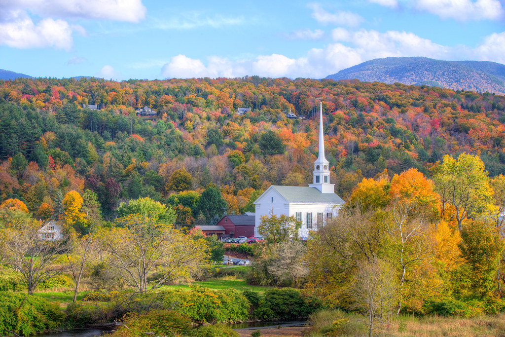
The Stowe Community Church
Stowe Church, Vermont

Moss Glen Falls
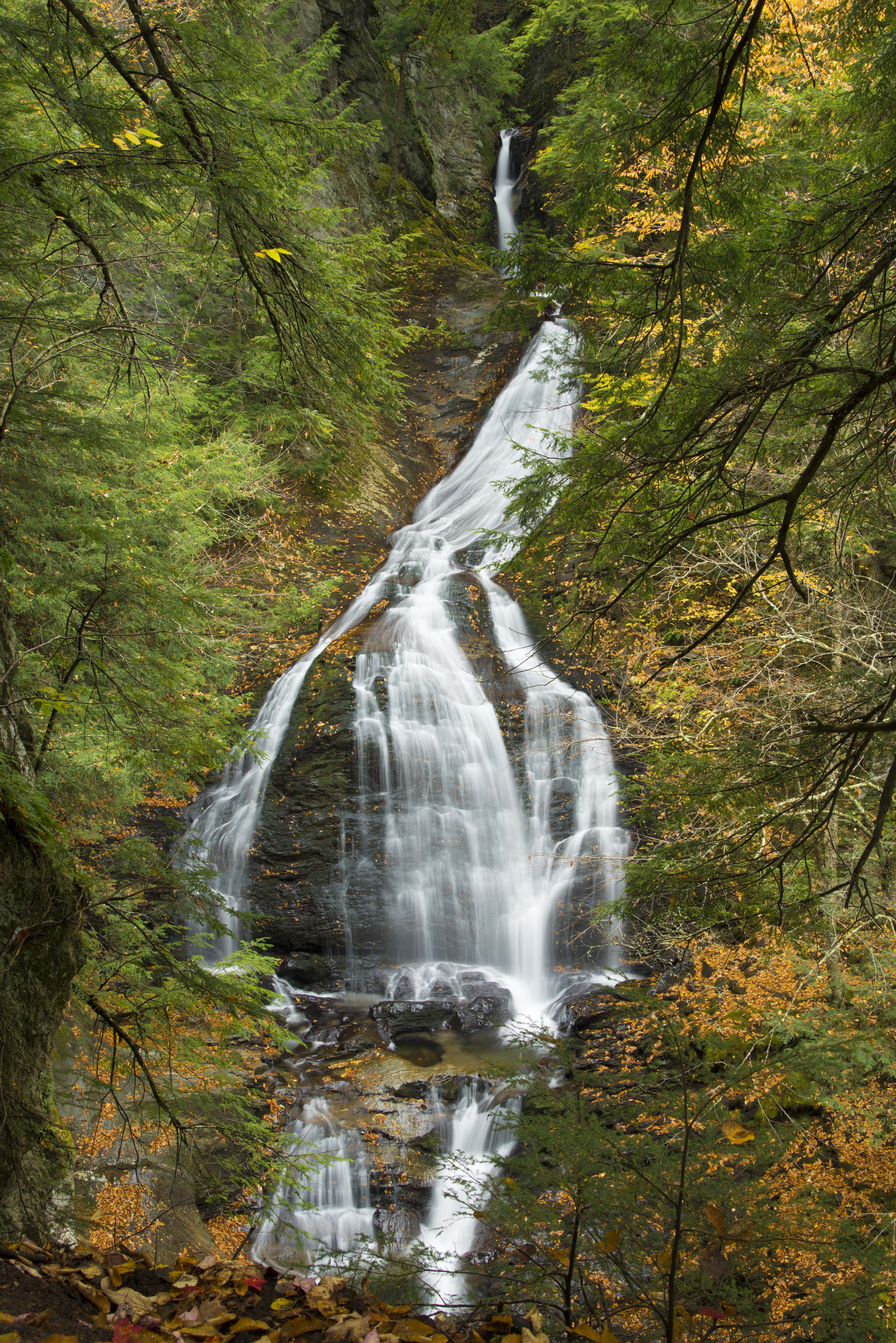
Moss Glen Falls in Stowe

lobby • columns

Moss Glen Falls, Moss Glen Brook, C.C. Putnam State Forest, Burt Hollow Unit, Moss Glen Falls Natural Area, Lamoille County, Vermont 1

columned • view

columns • flower.boxes

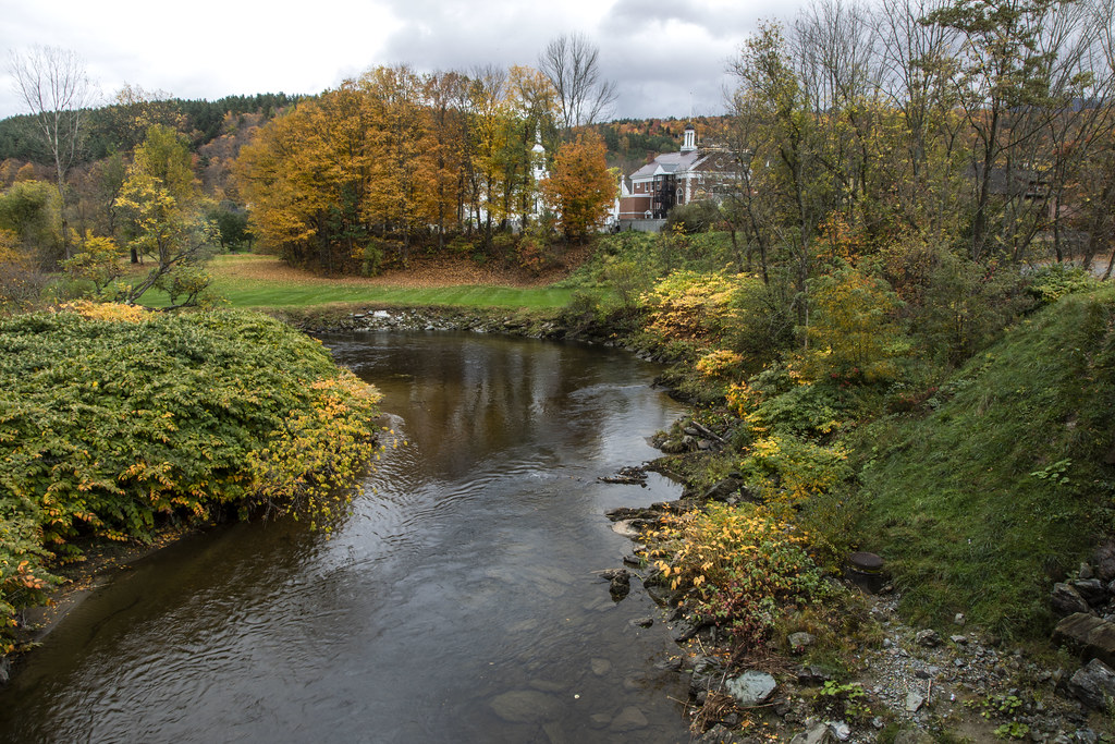
Stowe, VT

Wrightsville Reservoir

Day 30: Vermont

Grand View Farm
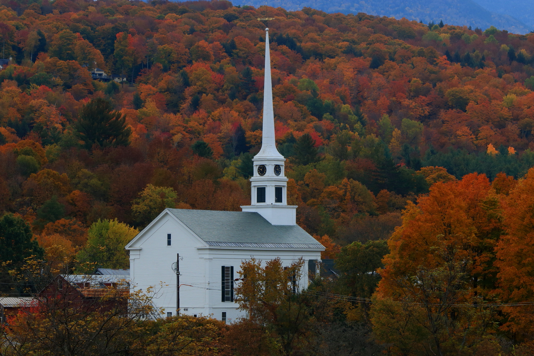
Stowe Community Church, VT

Peaceful Sunset

Stowe View
The Little River, Stowe, Vermont

Worcester Waterfall

Northern Hawk Owl, Waterbury Center, VT 12/21/13
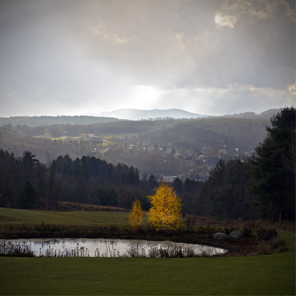
Before the First Snow
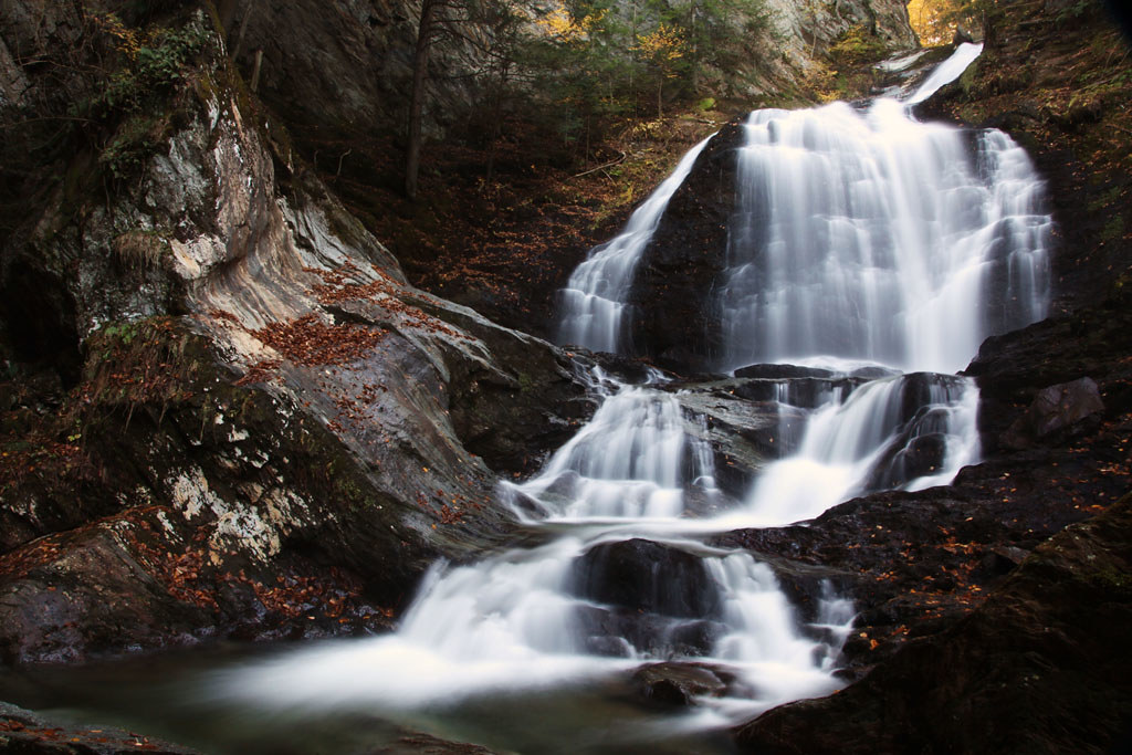
Moss Glen Falls (Stowe)

Gold Brook Covered Bridge - Explore

Too Early

Color Cascade

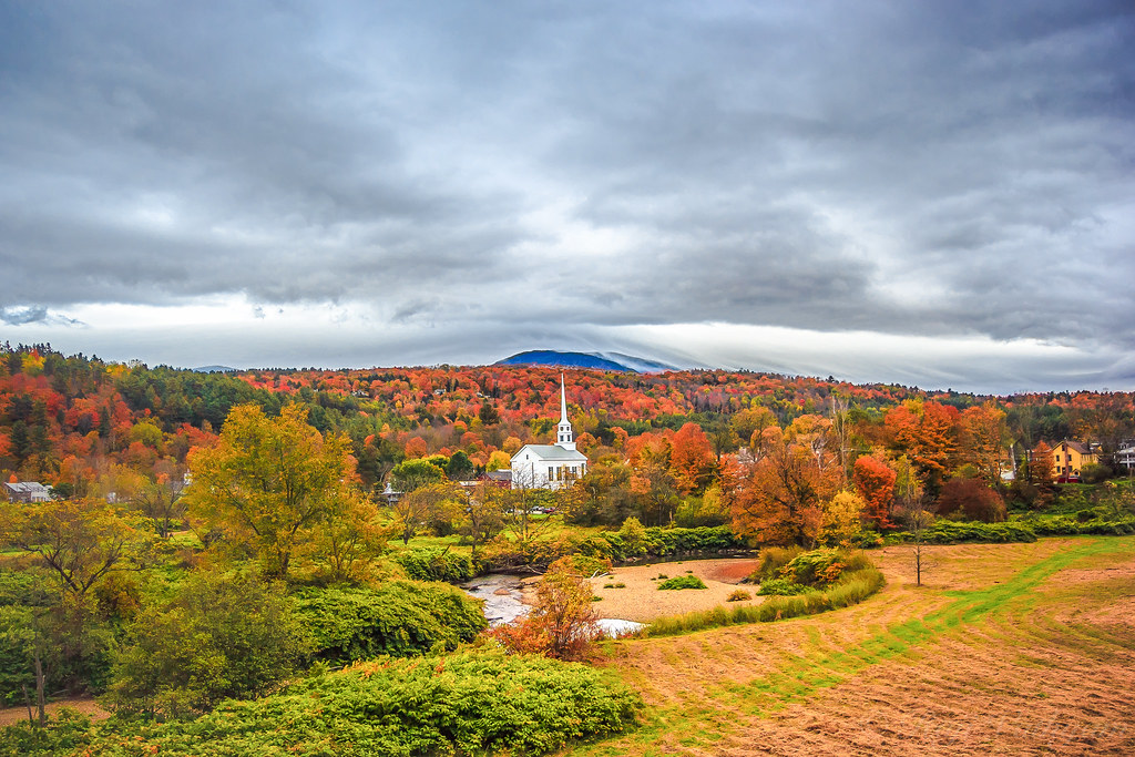
Montpelier Junction, Vermont

Fall colours in Stowe, Vermont (Explored 29 Dec 2017)

Moss Glen Falls

The New England White Church

Stowe | Vermont

Enroute Stowe, VT

It's water under the bridge
Enroute Stowe, VT

Haunted Bridge in Stowe
Stowe, Vermont

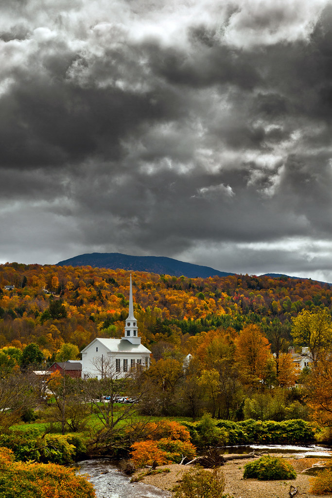
Gloomy Autumn Day

Sunset after the Storm
Topographic Map of Shady Rill Rd, Middlesex, VT, USA
Find elevation by address:

Places near Shady Rill Rd, Middlesex, VT, USA:
French Road
80 French Rd
90 Molly Supple Hill Rd
Molly Supple Hill Road
60 Story Rd
169 Molly Supple Hill Rd
66 Government Hill Rd
189 Molly Supple Hill Rd
4 Government Hill Rd, Middlesex, VT, USA
50 Dolan Rd
110 Brook Rd
114 E Hill Rd
454 E Bear Swamp Rd
822 Center Rd
65 Leland Farm Rd
315 E Hill Rd
256 E Hill Rd
46 Worcester Village Rd
Frazier Road
531 Center Rd
Recent Searches:
- Elevation of Corso Fratelli Cairoli, 35, Macerata MC, Italy
- Elevation of Tallevast Rd, Sarasota, FL, USA
- Elevation of 4th St E, Sonoma, CA, USA
- Elevation of Black Hollow Rd, Pennsdale, PA, USA
- Elevation of Oakland Ave, Williamsport, PA, USA
- Elevation of Pedrógão Grande, Portugal
- Elevation of Klee Dr, Martinsburg, WV, USA
- Elevation of Via Roma, Pieranica CR, Italy
- Elevation of Tavkvetili Mountain, Georgia
- Elevation of Hartfords Bluff Cir, Mt Pleasant, SC, USA