Elevation of E Hill Rd, Middlesex, VT, USA
Location: United States > Vermont > Washington County > Middlesex >
Longitude: -72.617273
Latitude: 44.3099065
Elevation: -10000m / -32808feet
Barometric Pressure: 295KPa
Elevation Map:
Satellite Map:
Related Photos:

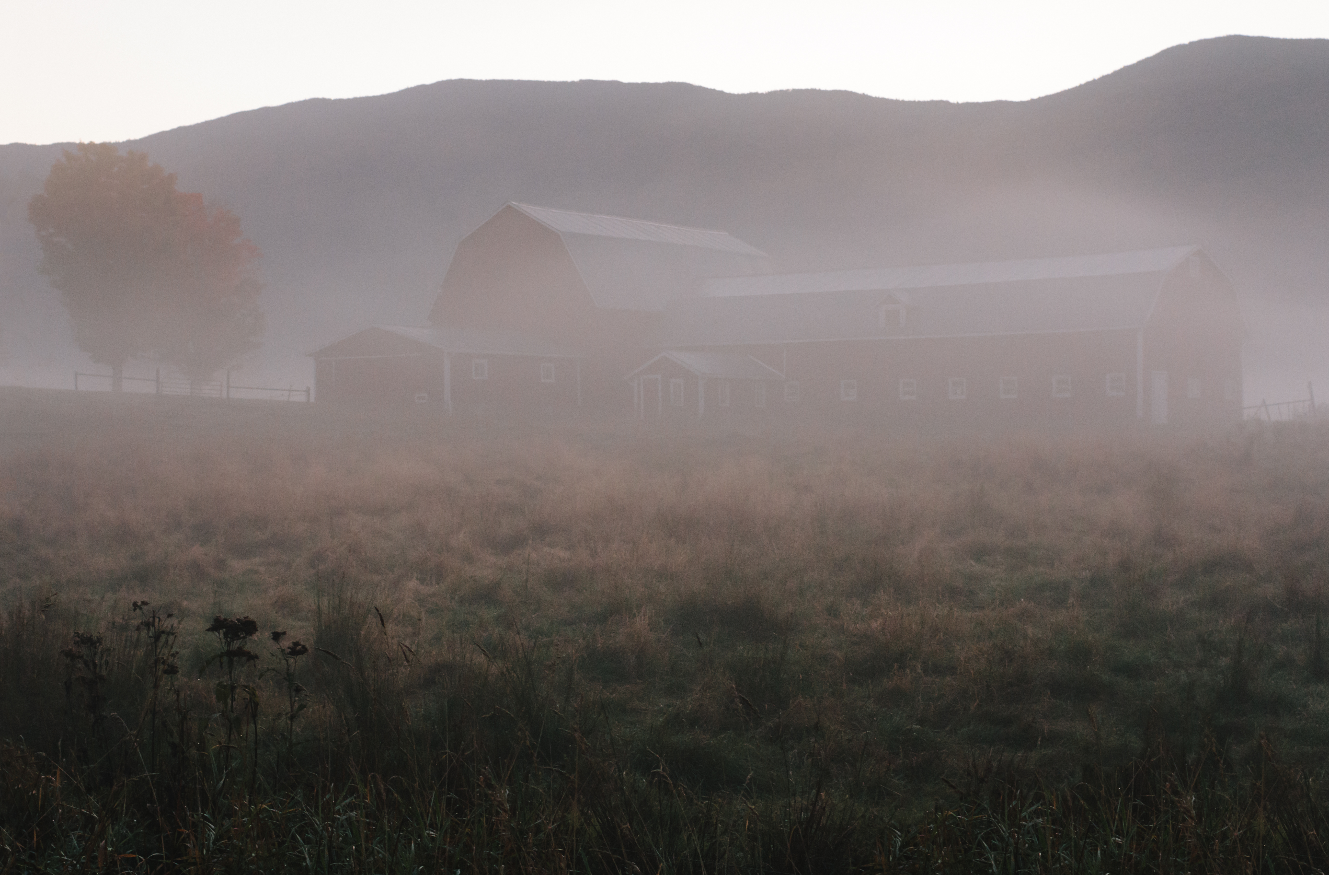
Foggy Valley

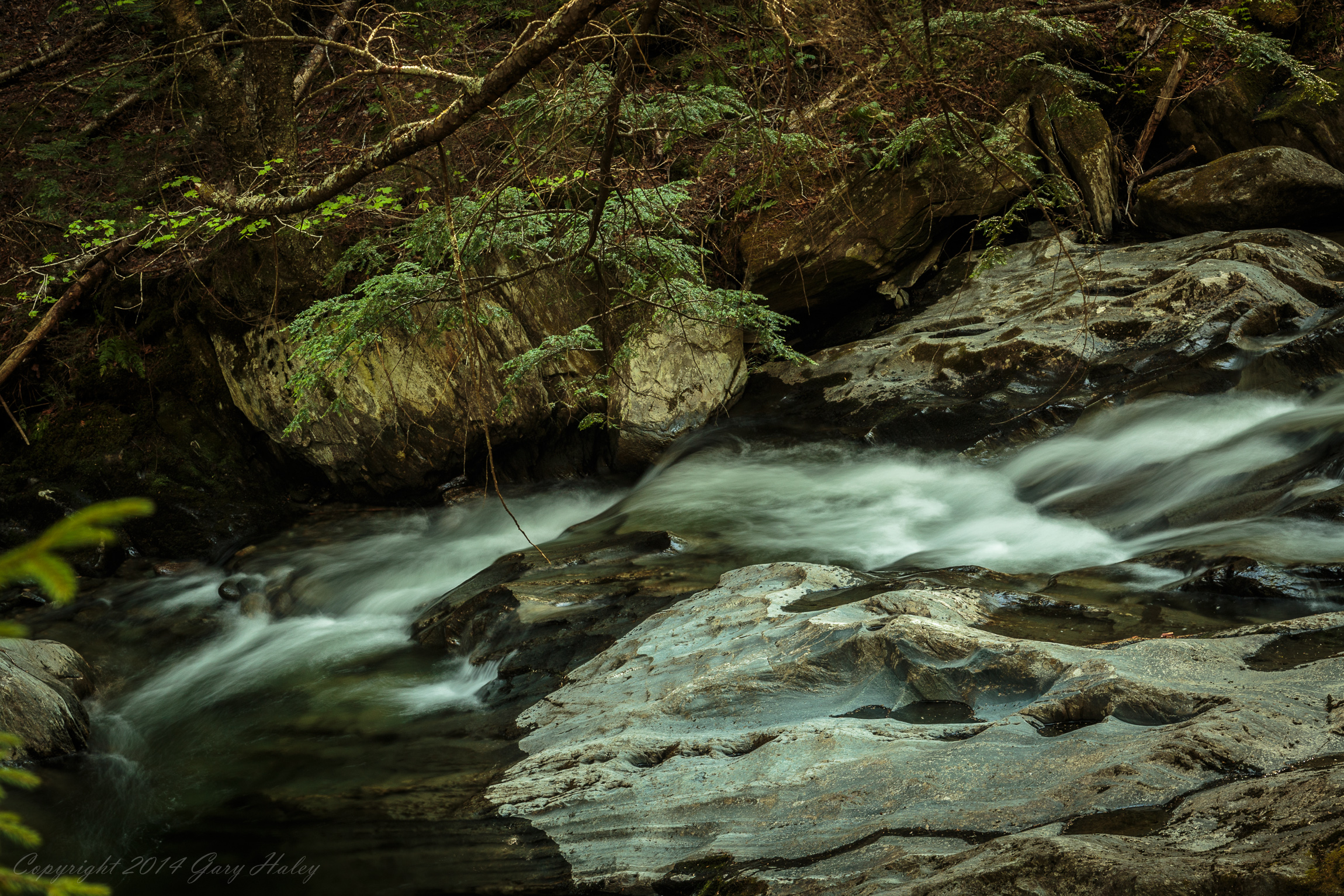
Worcester Waterfall

Slaughter House Covered Bridge

#fall epic view

Grand View Farm

mouse-eye • view
Stowe Panoramic
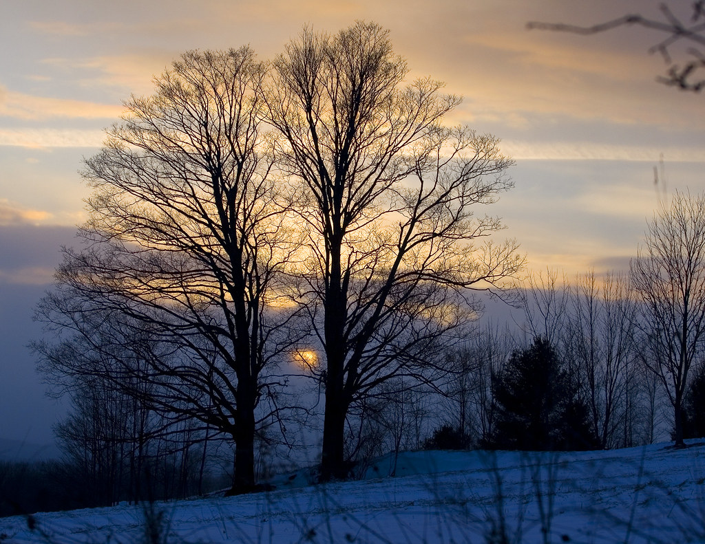
Before the First Snow

Calais view

Monrning view with clouds

The view from Hubbard Park tower

breaking through

Boston view
Grand View Barn

View on Montpelier

Socialist Labor Party Hall (1900) – southwest view
Montpelier, VT, State House view (2)

Stowe Pinnacle

Old Barre Vermont Mural

onion-river-montpelier-sm

Socialist Labor Party Hall (1900) – northeast view

It's All Down Hill From Here

Waterbury Reservoir

Gloomy Autumn Day

Vermont-7414.jpg

Stormy May Day

The Red Barn

Wrightsville in Autumn

Winter Waterfall

VT_Waterfalls-1351

Fritillary Butterfly on Joe Pye Weed

Sunset after the Storm

The Milky Way

VT_Waterfalls-1358
Two as One
A bit of pre-dawn magic

The clouds lift, finally
VT_Waterfalls-1359

Center Rd.

Fall colors
Topographic Map of E Hill Rd, Middlesex, VT, USA
Find elevation by address:

Places near E Hill Rd, Middlesex, VT, USA:
256 E Hill Rd
114 E Hill Rd
189 Molly Supple Hill Rd
50 Dolan Rd
169 Molly Supple Hill Rd
110 Brook Rd
Molly Supple Hill Road
822 Center Rd
90 Molly Supple Hill Rd
80 French Rd
French Road
65 Leland Farm Rd
580 Shady Rill Rd
66 Government Hill Rd
531 Center Rd
4 Government Hill Rd, Middlesex, VT, USA
60 Story Rd
454 E Bear Swamp Rd
46 Worcester Village Rd
3385 North St
Recent Searches:
- Elevation of Corso Fratelli Cairoli, 35, Macerata MC, Italy
- Elevation of Tallevast Rd, Sarasota, FL, USA
- Elevation of 4th St E, Sonoma, CA, USA
- Elevation of Black Hollow Rd, Pennsdale, PA, USA
- Elevation of Oakland Ave, Williamsport, PA, USA
- Elevation of Pedrógão Grande, Portugal
- Elevation of Klee Dr, Martinsburg, WV, USA
- Elevation of Via Roma, Pieranica CR, Italy
- Elevation of Tavkvetili Mountain, Georgia
- Elevation of Hartfords Bluff Cir, Mt Pleasant, SC, USA