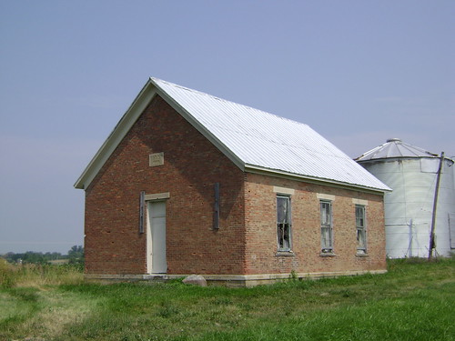
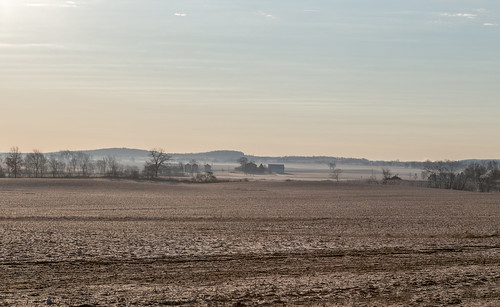
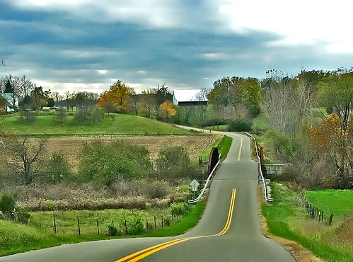
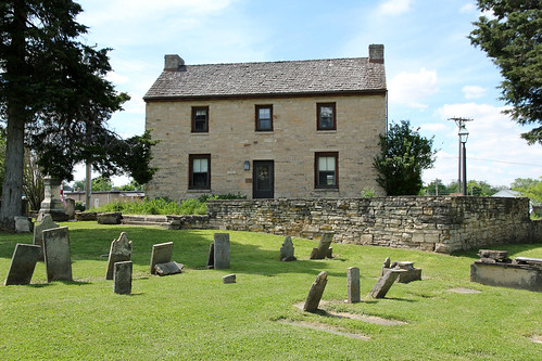
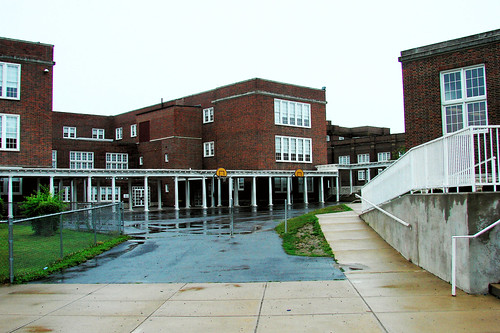
Elevation of Sever Rd, Frankfort, OH, USA
Location: United States > Ohio > Ross County > Concord Township > Frankfort >
Longitude: -83.269562
Latitude: 39.4363931
Elevation: 289m / 948feet
Barometric Pressure: 98KPa
Related Photos:
Topographic Map of Sever Rd, Frankfort, OH, USA
Find elevation by address:

Places near Sever Rd, Frankfort, OH, USA:
Concord Township
Co Hwy 37, Washington Court House, OH, USA
Cisco Rd, Washington Court House, OH, USA
Frankfort
2509 Frankfort Clarksburg Pike
New Holland
US-22, New Holland, OH, USA
Marion Township
Egypt Pike, Chillicothe, OH, USA
Bloomingburg New Holland Rd, New Holland, OH, USA
500 S Elm St
Washington Court House
Deercreek Township
15 Wagner Ct
Williamsport
Union Township
Madison Township
Harrison Rd, Mt Sterling, OH, USA
Union Township
18396 Clarks Run Rd
Recent Searches:
- Elevation of Corso Fratelli Cairoli, 35, Macerata MC, Italy
- Elevation of Tallevast Rd, Sarasota, FL, USA
- Elevation of 4th St E, Sonoma, CA, USA
- Elevation of Black Hollow Rd, Pennsdale, PA, USA
- Elevation of Oakland Ave, Williamsport, PA, USA
- Elevation of Pedrógão Grande, Portugal
- Elevation of Klee Dr, Martinsburg, WV, USA
- Elevation of Via Roma, Pieranica CR, Italy
- Elevation of Tavkvetili Mountain, Georgia
- Elevation of Hartfords Bluff Cir, Mt Pleasant, SC, USA


