Elevation of Seventeen Mile Rd, Ravensbourne QLD, Australia

Location: Australia > Queensland > Toowoomba Regional > Ravensbourne >

Longitude: 152.188994

Latitude: -27.377475

Elevation: 611m / 2005feet

Barometric Pressure: 94KPa

Elevation Map:

elevation map of Seventeen Mile Rd, Ravensbourne QLD, Australia

Satellite Map:

Satellite map of Seventeen Mile Rd, Ravensbourne QLD, Australia

Related Photos:

cliff geotagged nationalpark australia lookout qld granite crowsnest geo:lat=27259741 geo:lon=15211687
Crows Nest National Park Koonin Lookout
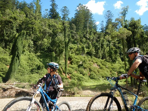
forest cycling state ground mtb effect berglar deongwar
Cressbrook Dam
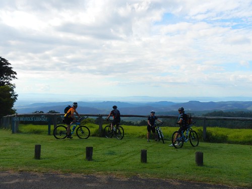
view au australia lookout qld queensland marker gus ravensbourne beutel
Gus Beutel Lookout View Points
Murphys Creek
cycling lookout mtb gus ravensbourne beutels
Gus Beutels Lookout
View over Lake Cressbrook, South East Queensland, Australia.
mountain lake holiday au australia retreat qld queensland boathouse ravensbourne cloudlake
Lake View
Murphys Creek
cycling lookout mtb gus ravensbourne beutels
Gus Beutels Lookout
Murphys Creek
cycling lookout mtb gus ravensbourne beutels
Gus Beutels Lookout
Lockyer to Murphys Creek
square squareformat iphoneography instagramapp uploaded:by=instagram
View from our chalet. No phone reception. No tv reception. Beautiful place though!!
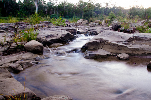
1992 scannedslide 35mmslidefilm australia queensland qld seqld crowsnestnationalpark darlingdowns scenicrim bushwalking hiking bushwalker bushwalk scbwc creek water rocks landscape
Crows Nest NP, 1992
1992 scannedslide 35mmslidefilm australia queensland qld seqld crowsnestnationalpark darlingdowns scenicrim bushwalking hiking bushwalker bushwalk scbwc creek water rocks landscape
Cressbrook Creek, Crows Nest NP, 1992
australia day outside panorama landscape queensland crowsnest panasonic lumix gx1
Lake Perserverance
1992 scannedslide 35mmslidefilm australia queensland qld seqld crowsnestnationalpark darlingdowns scenicrim bushwalking hiking bushwalker bushwalk scbwc creek water rocks landscape
Crows Nest NP, 1992
australia day outside panorama landscape queensland crowsnest panasonic lumix gx1
Lake Perserverance
geotagged australia queensland crowsnest 676kmtocrowsnestinqueenslandaustralia geo:lat=27283539 geo:lon=152132398
Crows Nest_20110201145528_Flood0334
road clouds dirt hdr pineforest
Pine Forest Road HDR
Beutels Lookout
sky panorama cloud digital outside day samsung australia queensland ravensbourne 2013 ravensbournenationalpark gusbuetellookout
Gus Buetel's Lookout
mandarin citrusfruit tamamareen
Hollow Mandarin
east queensland floods toowoomba lizybones murphyscreekfloods floodsdevastationmuddebrissouth
Floods at Murphys Creek Queensland
Beutels Lookout
Murphys Creek escape swimming hole
pine forest hoop cycling state mtb deongwar
Hoop Pine Scrub
mountain lake au australia calm deck retreat qld queensland boathouse ravensbourne cloudlake
Lower Deck & Lake
Beutels Lookout