Elevation of 84 Munro Rd, Hampton QLD, Australia
Location: Australia > Queensland > Toowoomba Regional > Hampton >
Longitude: 152.079326
Latitude: -27.344906
Elevation: 649m / 2129feet
Barometric Pressure: 94KPa
Elevation Map:
Satellite Map:
Related Photos:
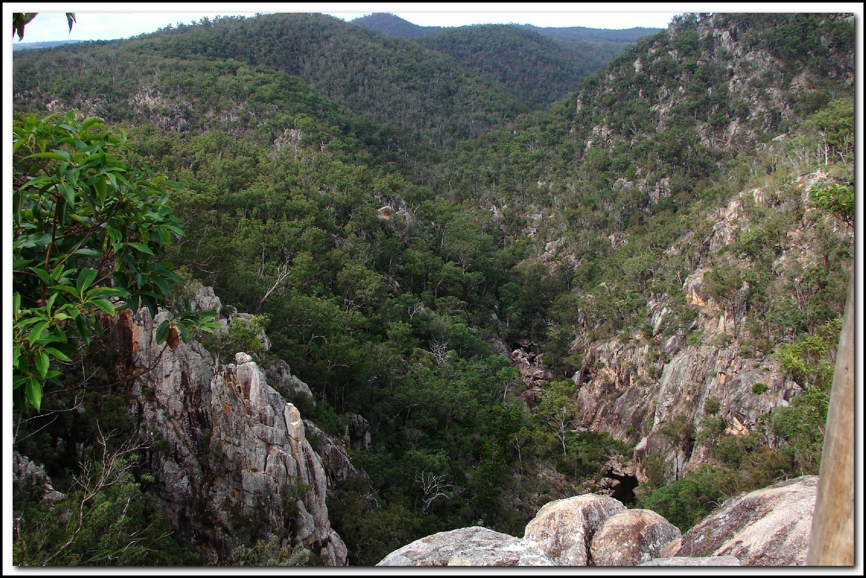
Crows Nest National Park Koonin Lookout
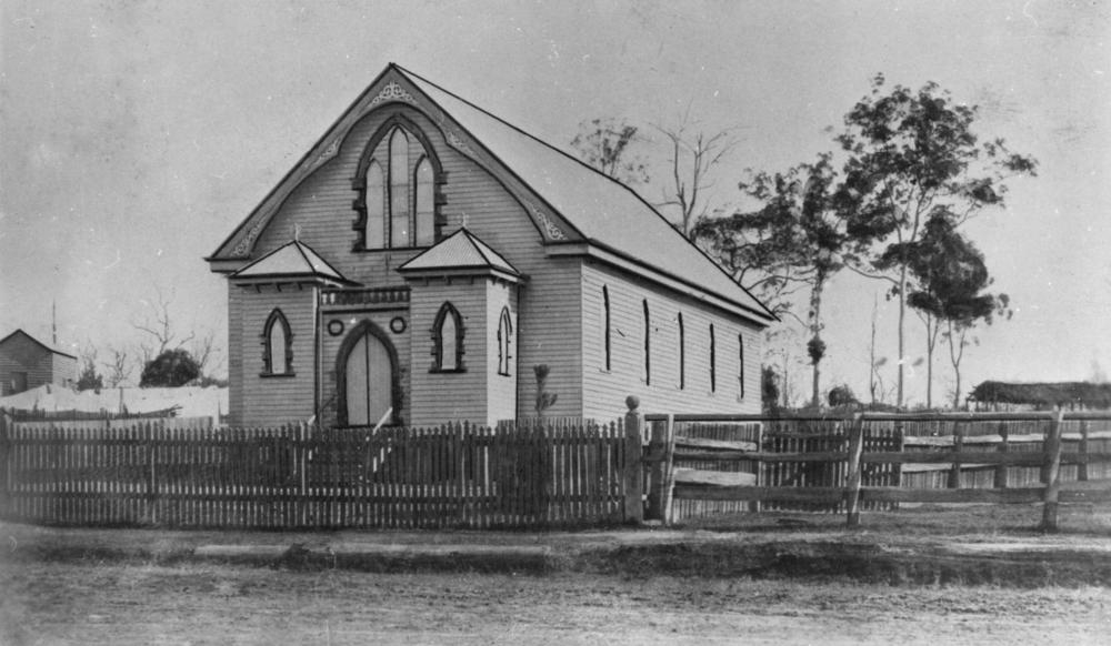
Methodist Church, Crows Nest

Kookaburra watching
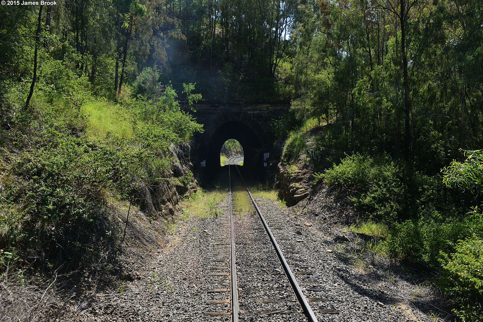
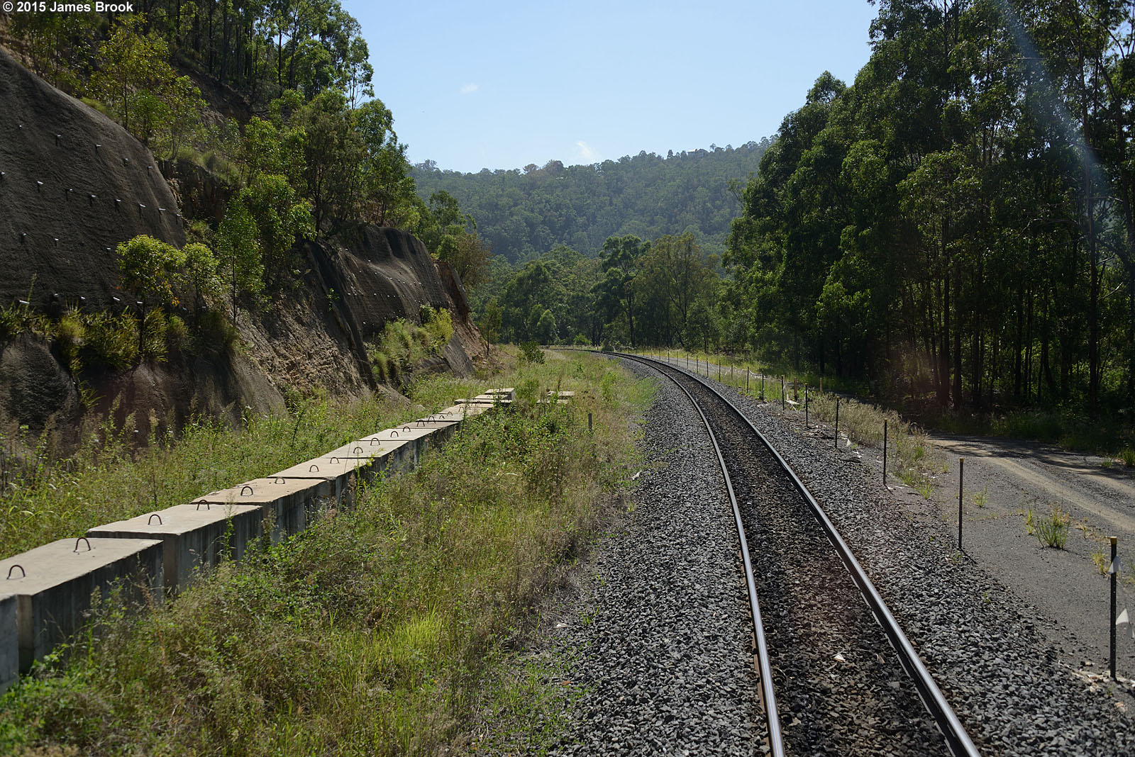
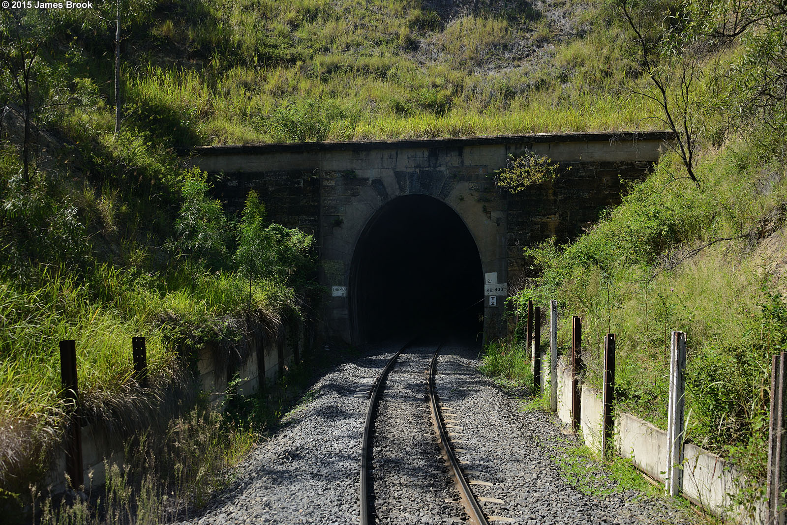
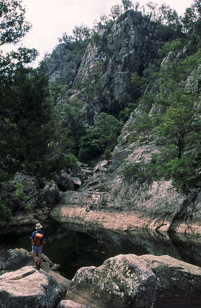
Holmes Loop to Spring Bluff
Murphys Creek
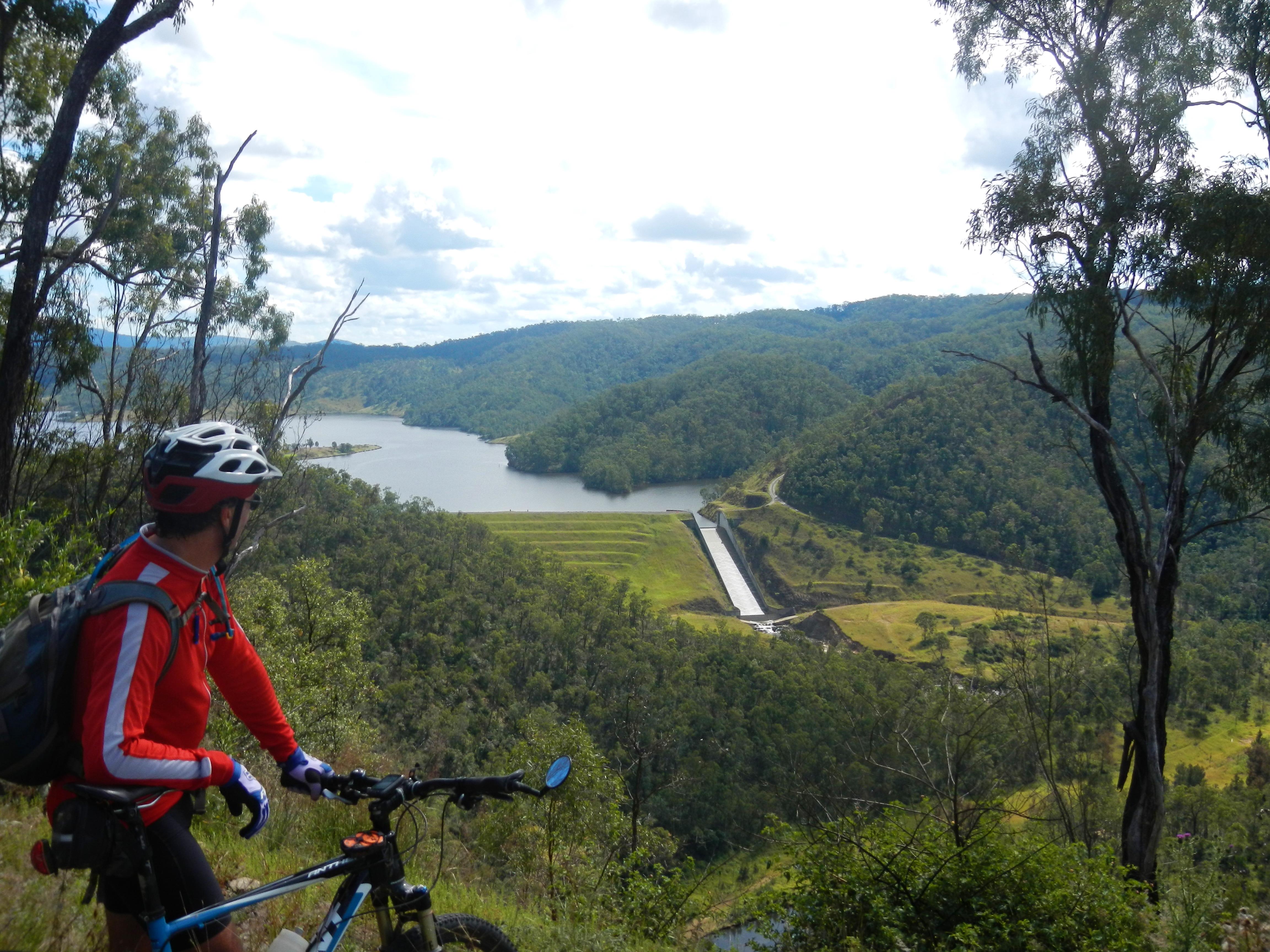
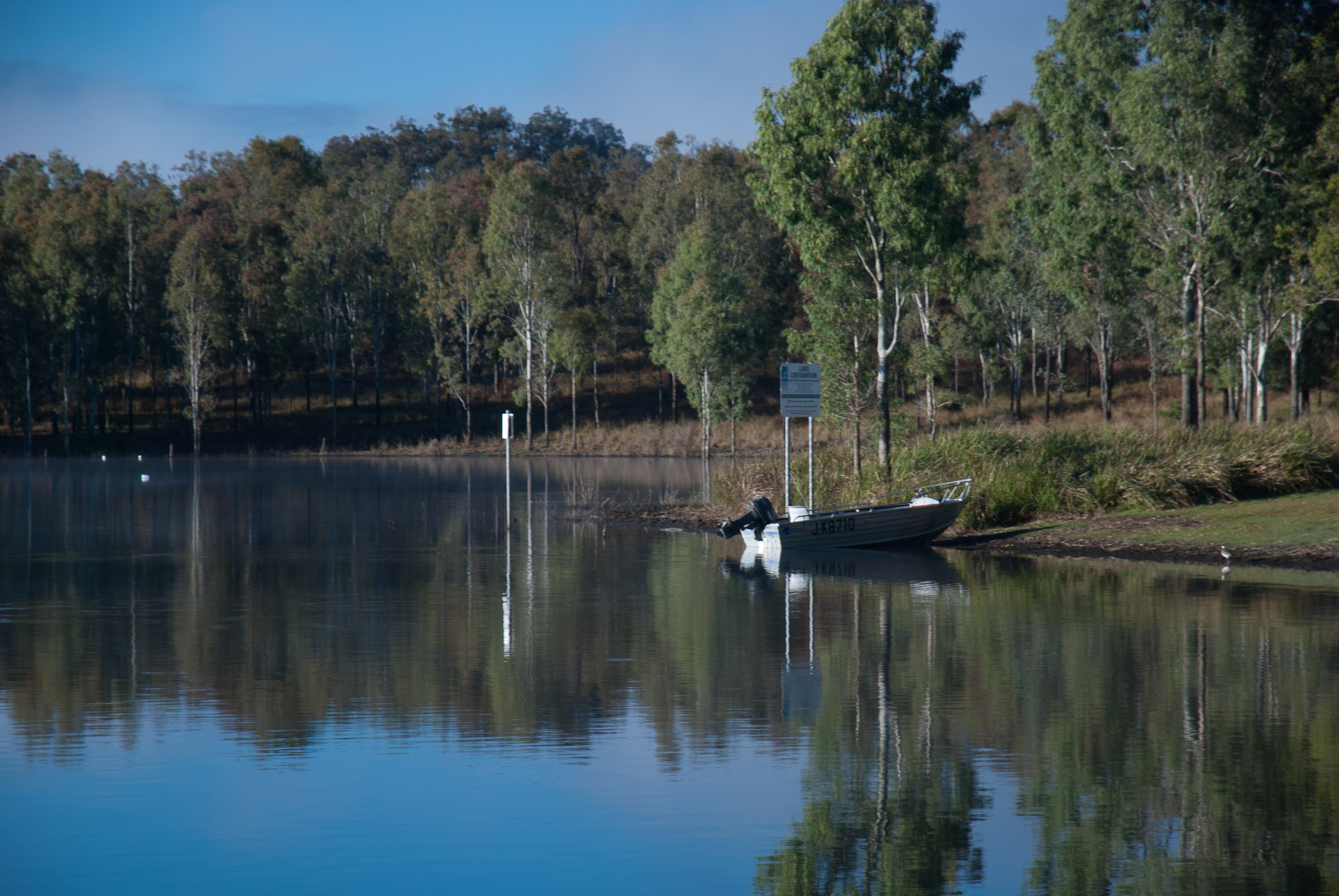
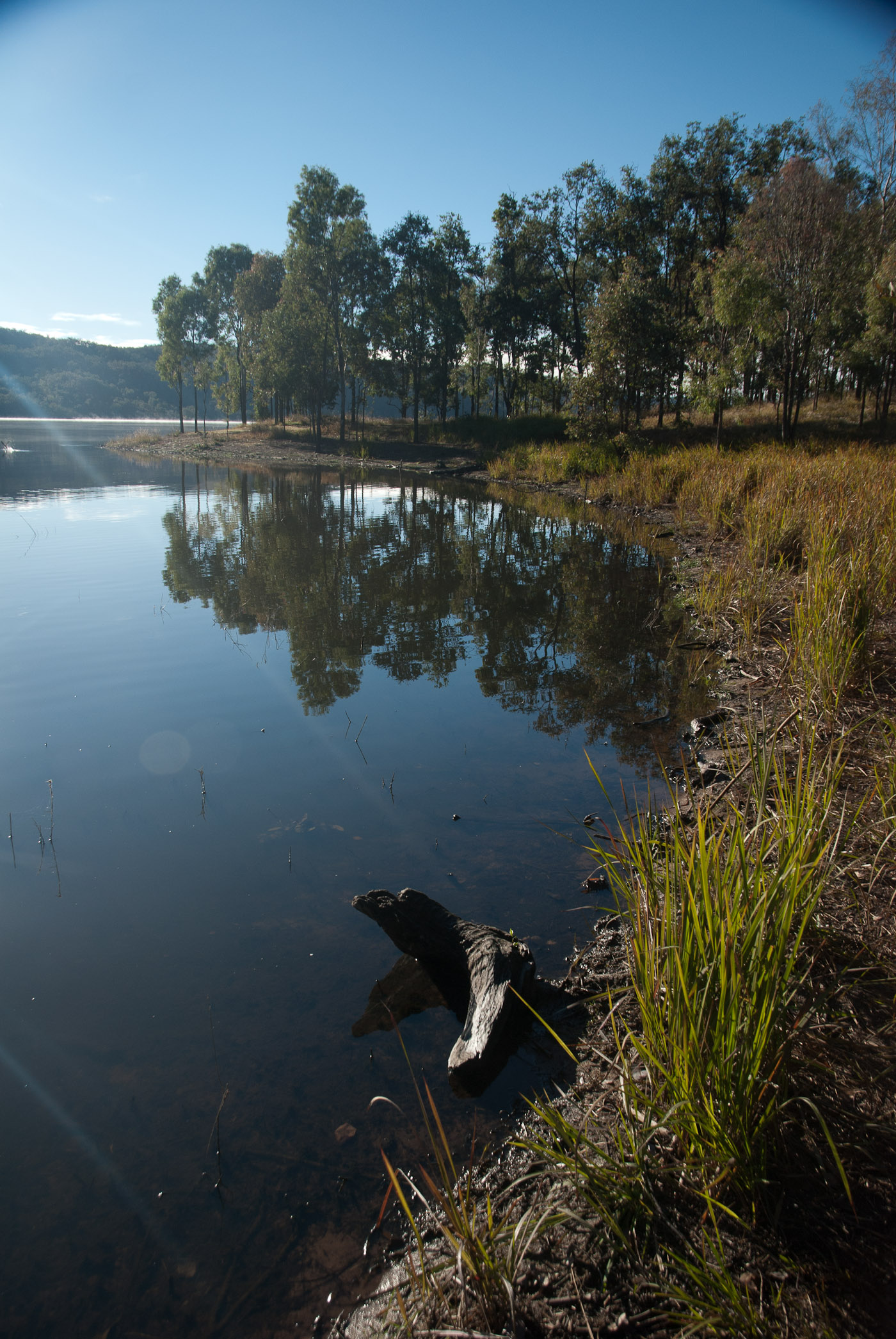
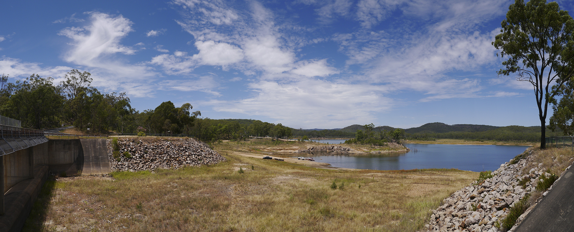
Cressbrook Dam
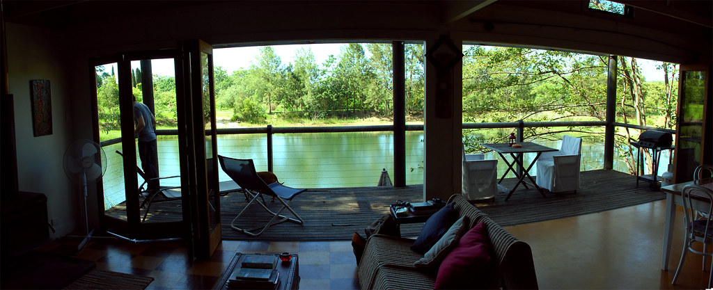
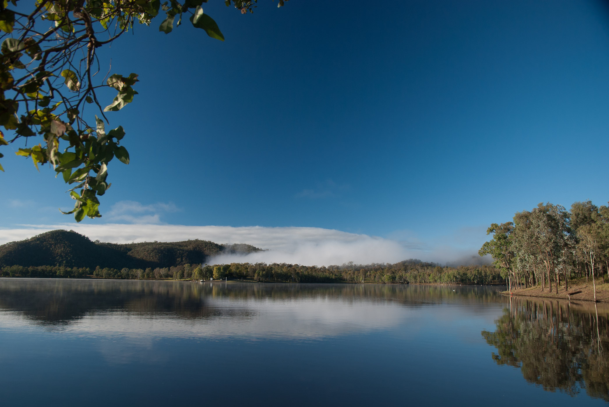
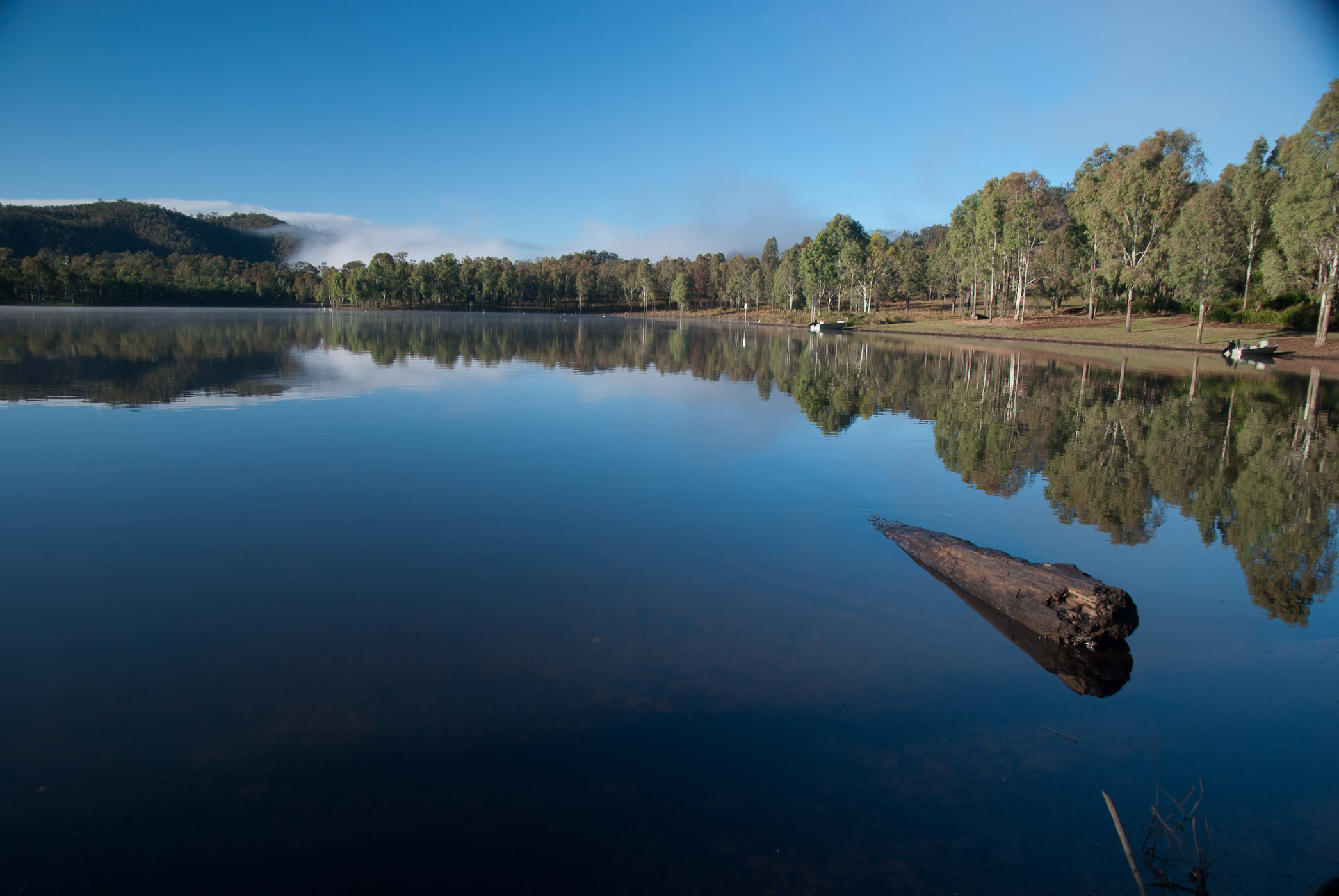
Lake View
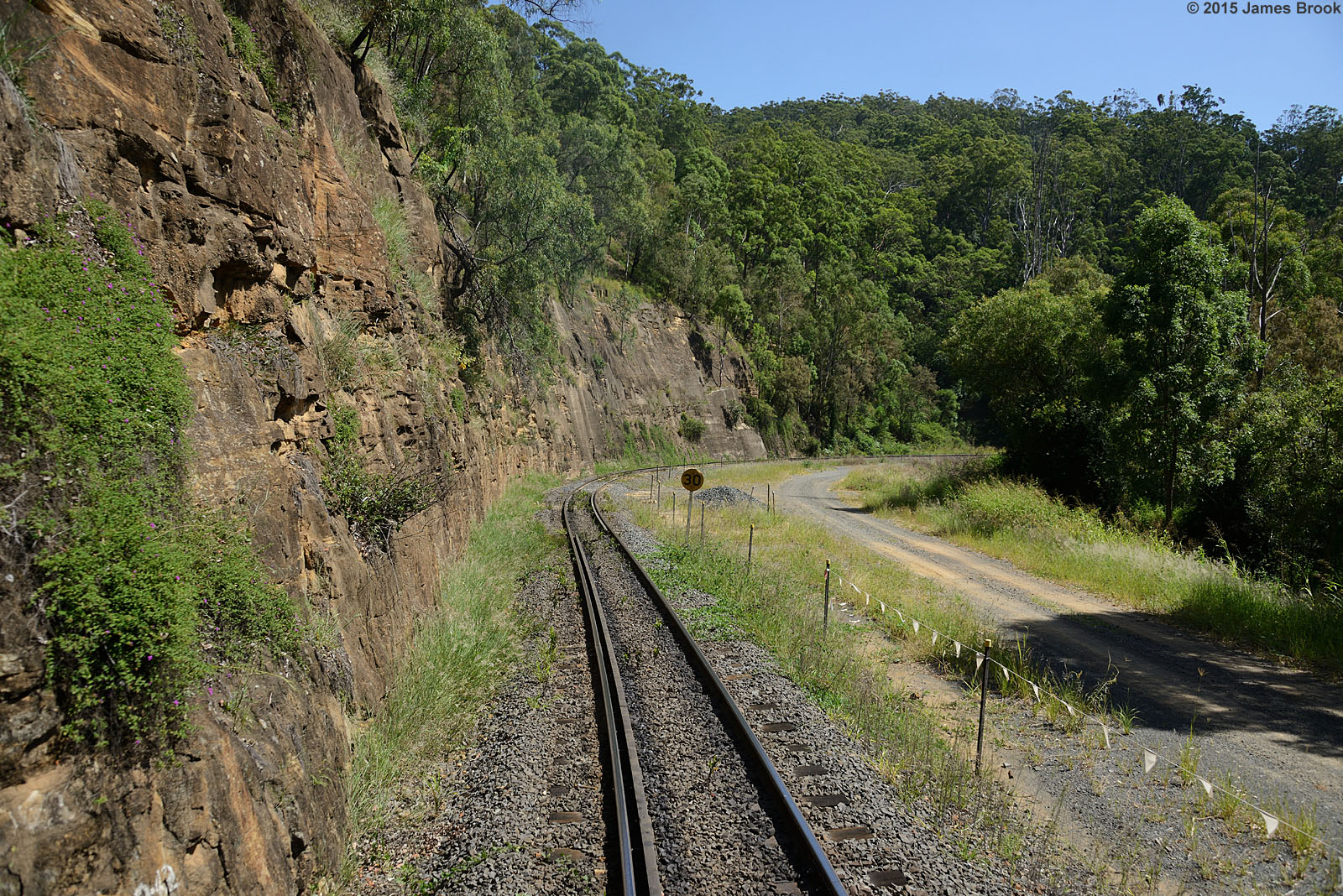
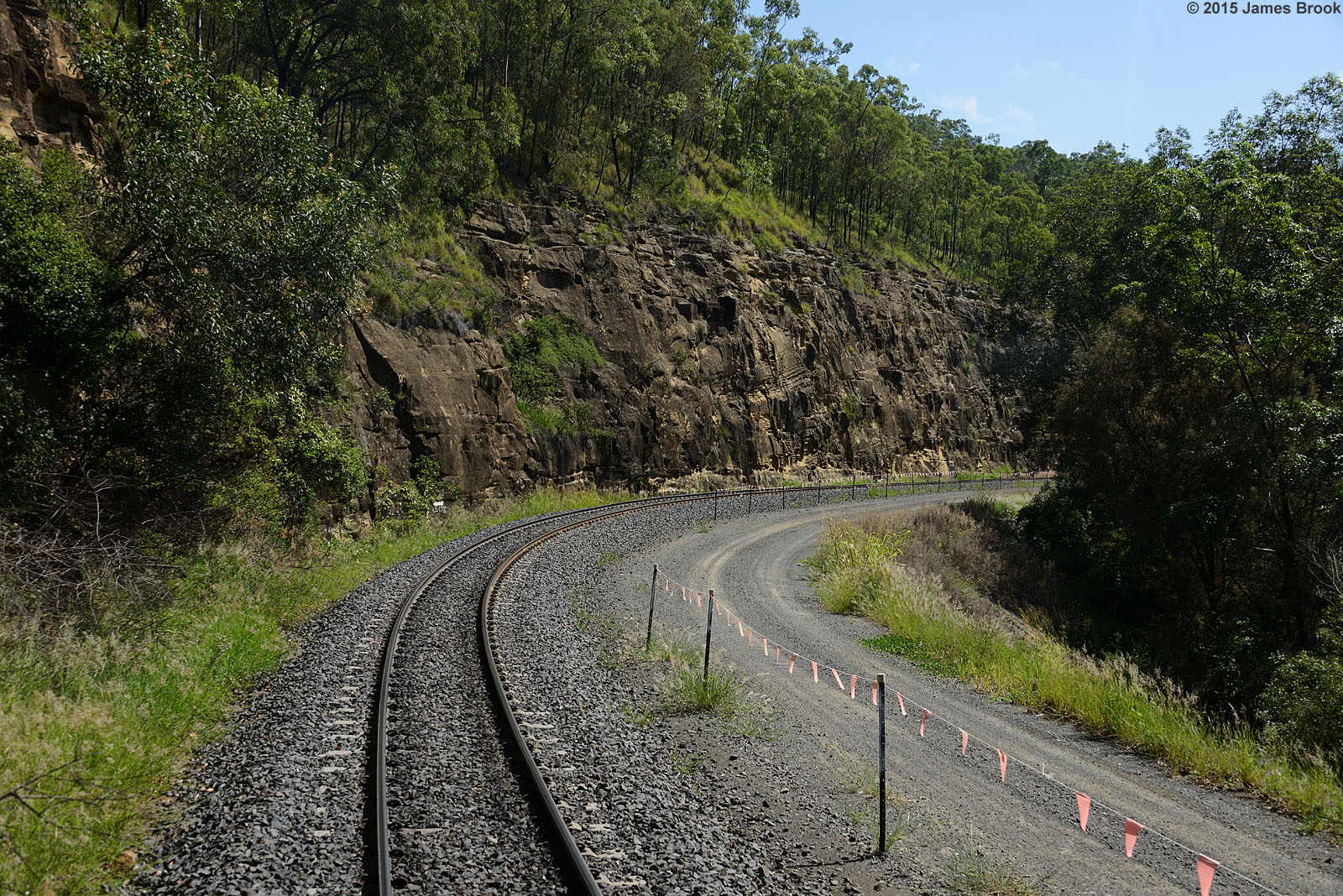
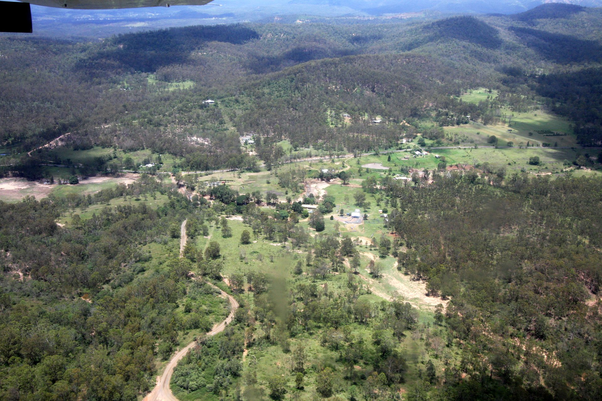
Holmes Loop to Spring Bluff
Holmes Loop to Spring Bluff
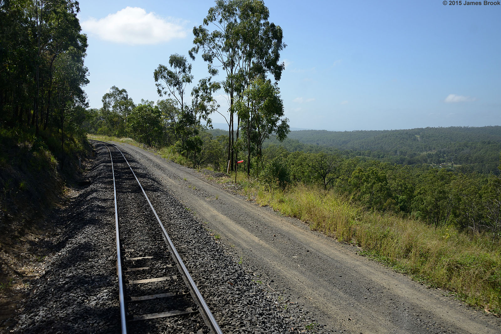
Holmes Loop to Spring Bluff

Holmes Loop to Spring Bluff
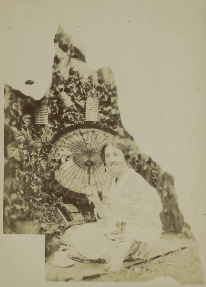
Female member of the Bisset Family wearing Japanese dress, Crows Nest, Queensland

57 Penfolds Road, MURPHYS CREEK, QLD 4352, Australia (4 Beds, 2 Baths, 2 Cars)

Waterfall in the Crows Nest district, ca. 1905
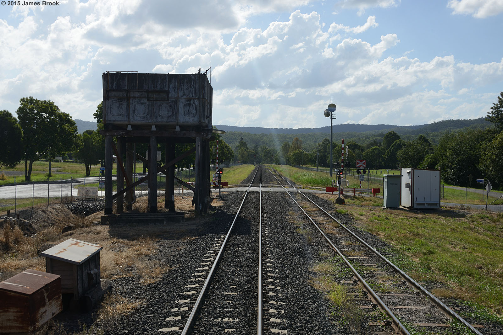
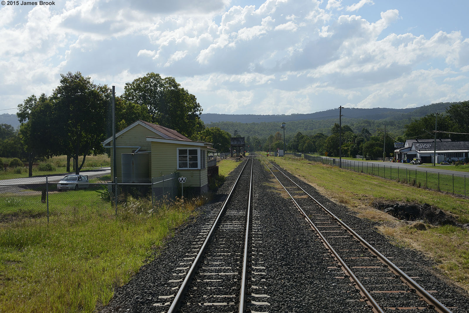
Murphys Creek
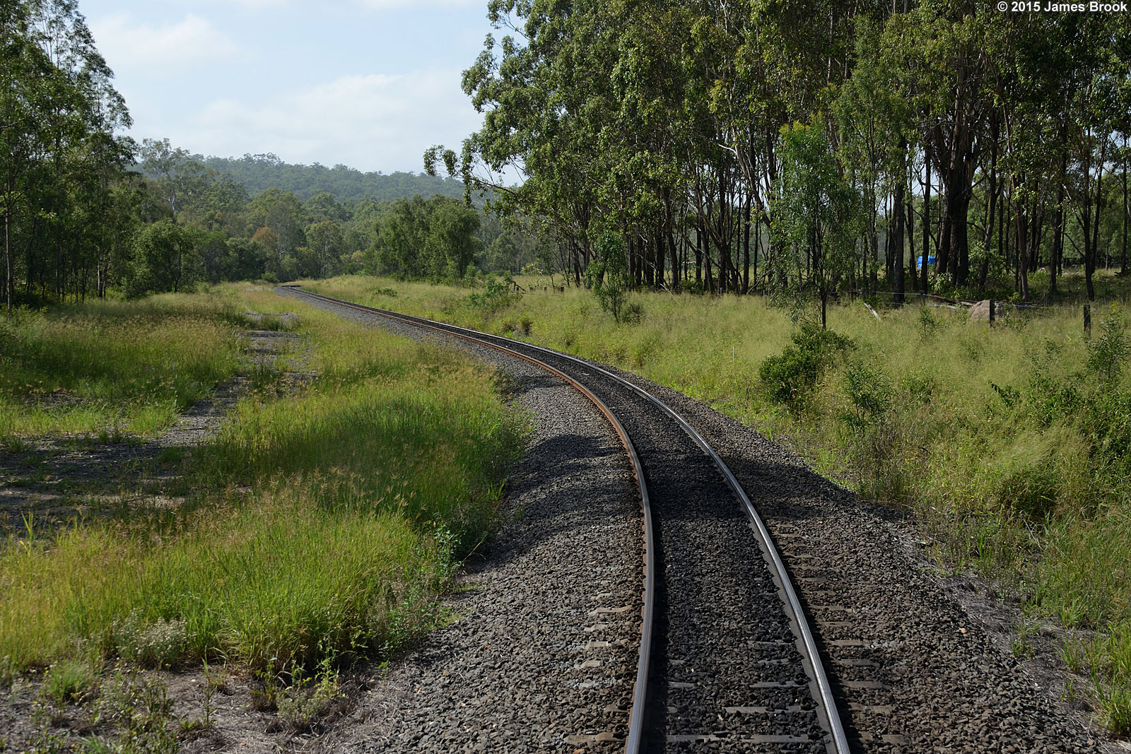
Lockyer to Murphys Creek
Holmes Loop to Spring Bluff
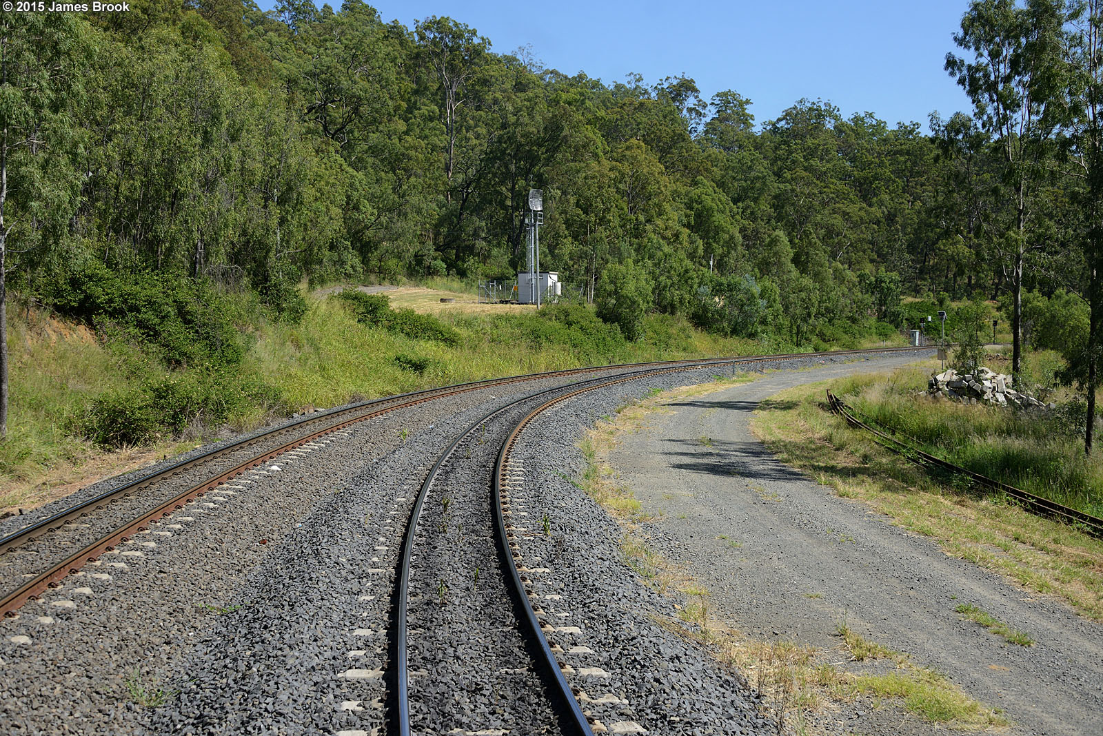
Holmes Loop
Holmes Loop to Spring Bluff

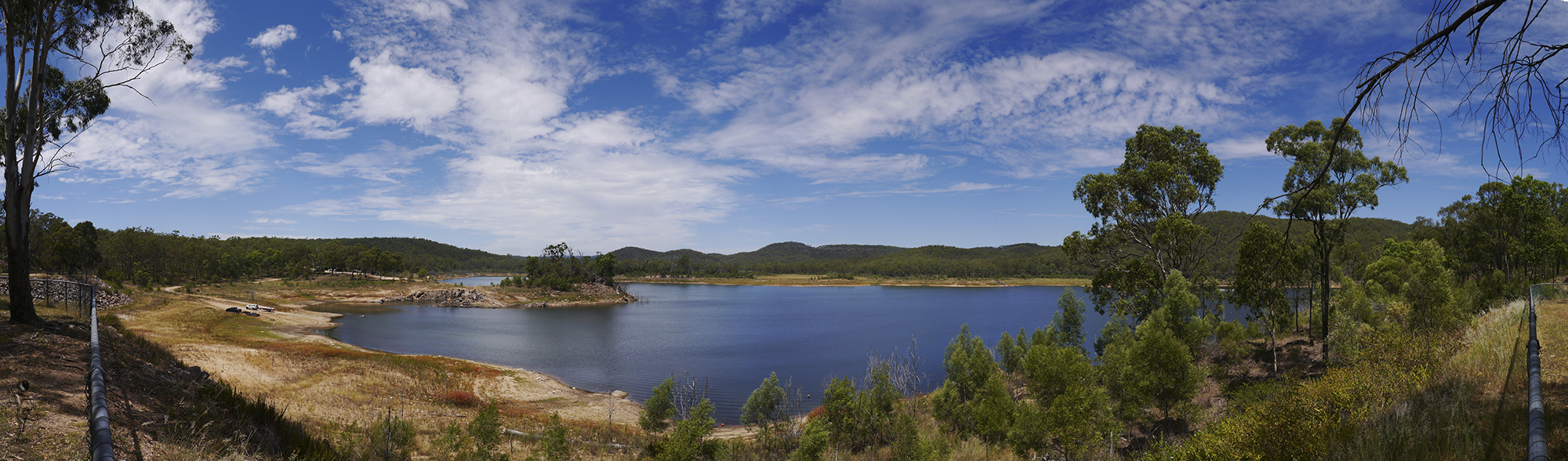
View over Lake Cressbrook, South East Queensland, Australia.

Gus Beutel Lookout View Points
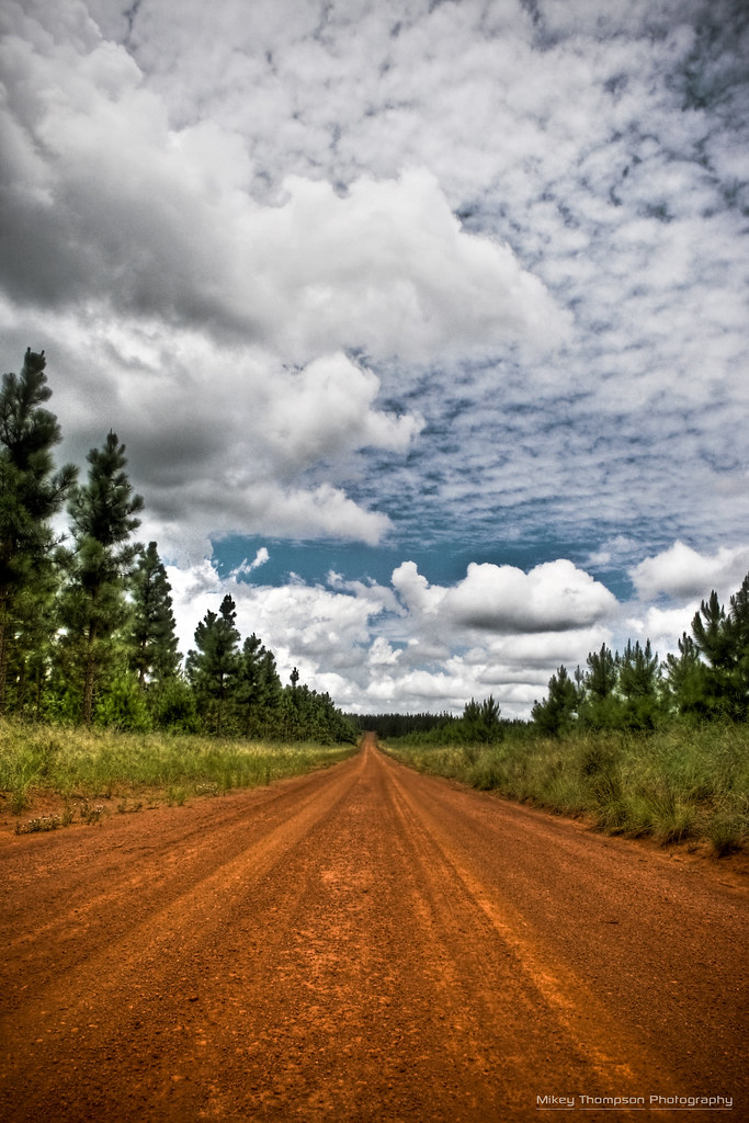
Pine Forest Road HDR
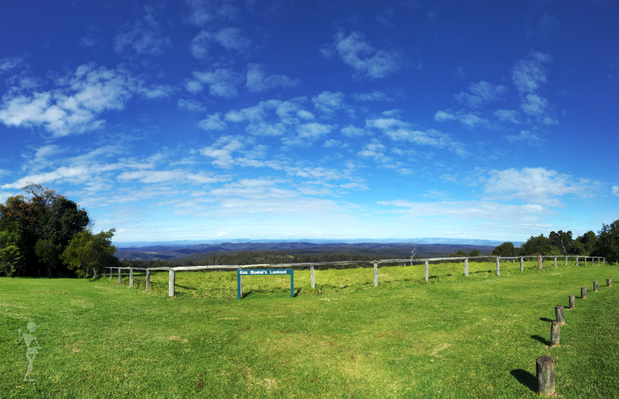
Gus Buetel's Lookout
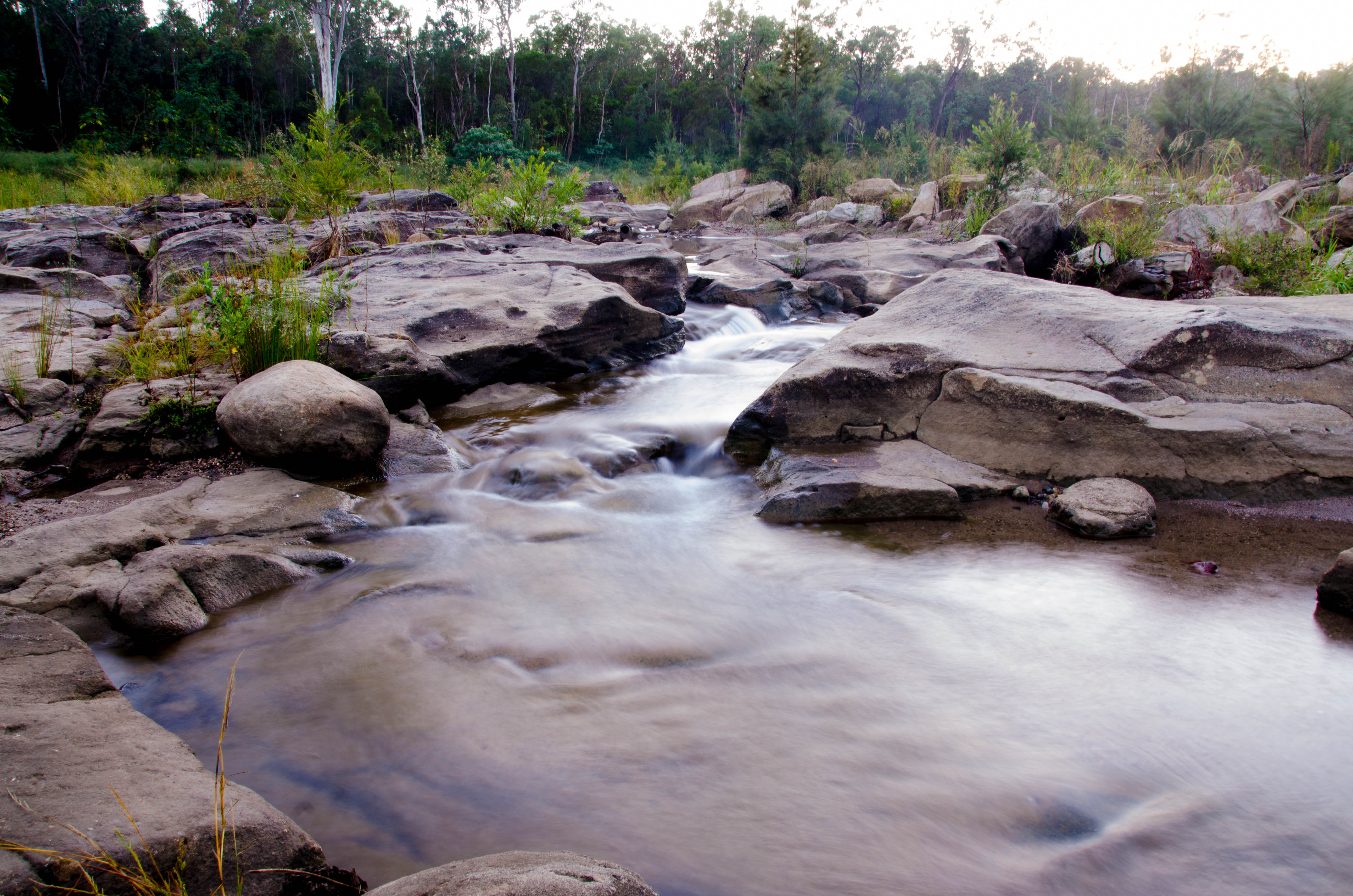
Cressbrook Creek, Crows Nest NP, 1992
Crows Nest NP, 1992
20110613_Cressbroke-Lake_057.jpg

Crows Nest NP, 1992
20110613_Cressbroke-Lake_044.jpg
Right under my feet
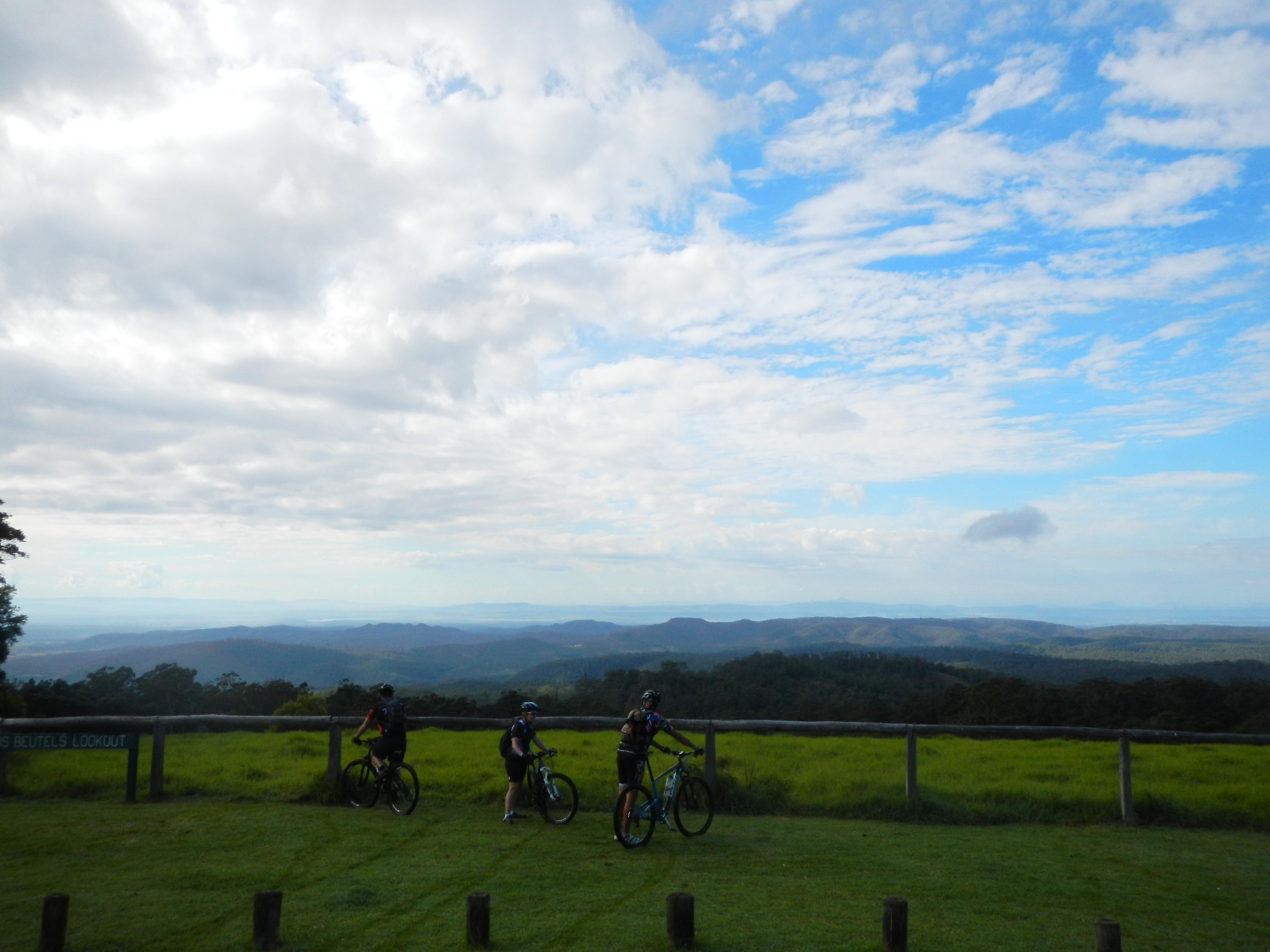
Gus Beutels Lookout
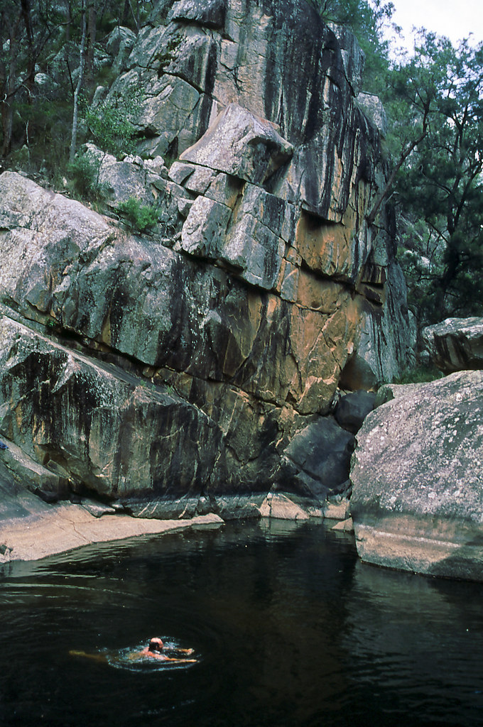
Murphys Creek escape swimming hole
Murphys Creek_20110201114144_Flood1115
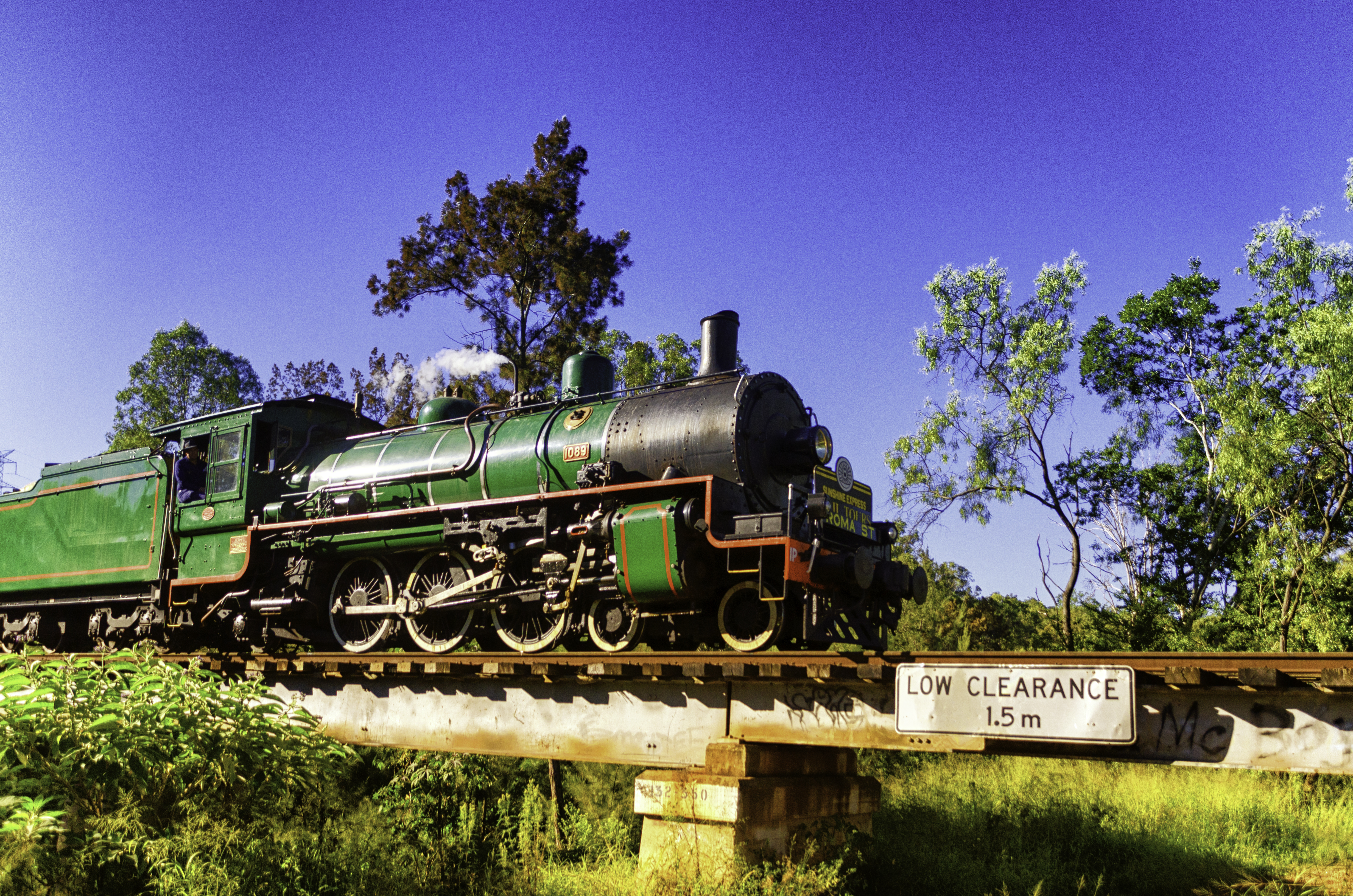
The Green Machine
20110613_Cressbroke-Lake_077.jpg

Crows Nest_20110201145528_Flood0334
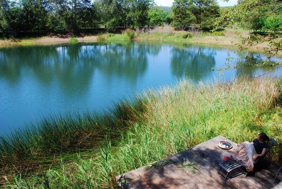
Lower Deck & Lake
20110613_Cressbroke-Lake_047.jpg
Lake Perserverance

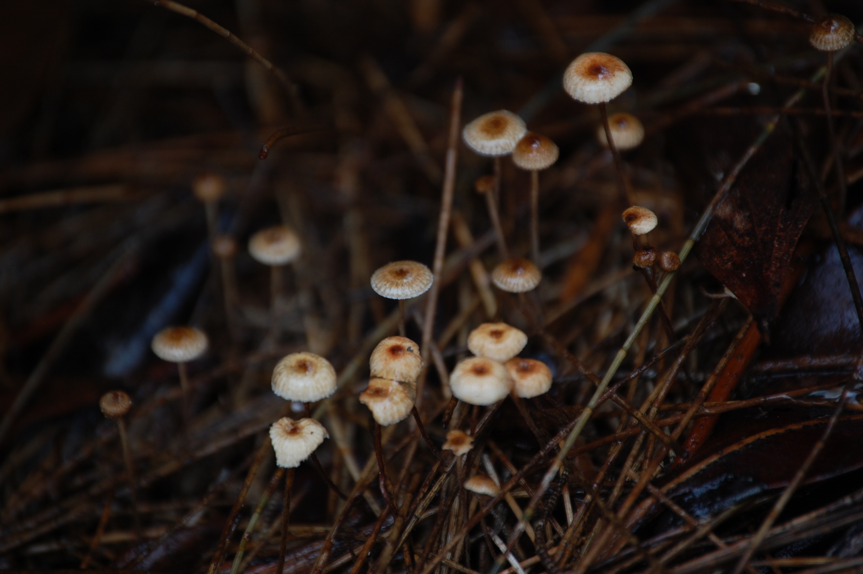
Hollow Mandarin
Lake Perserverance
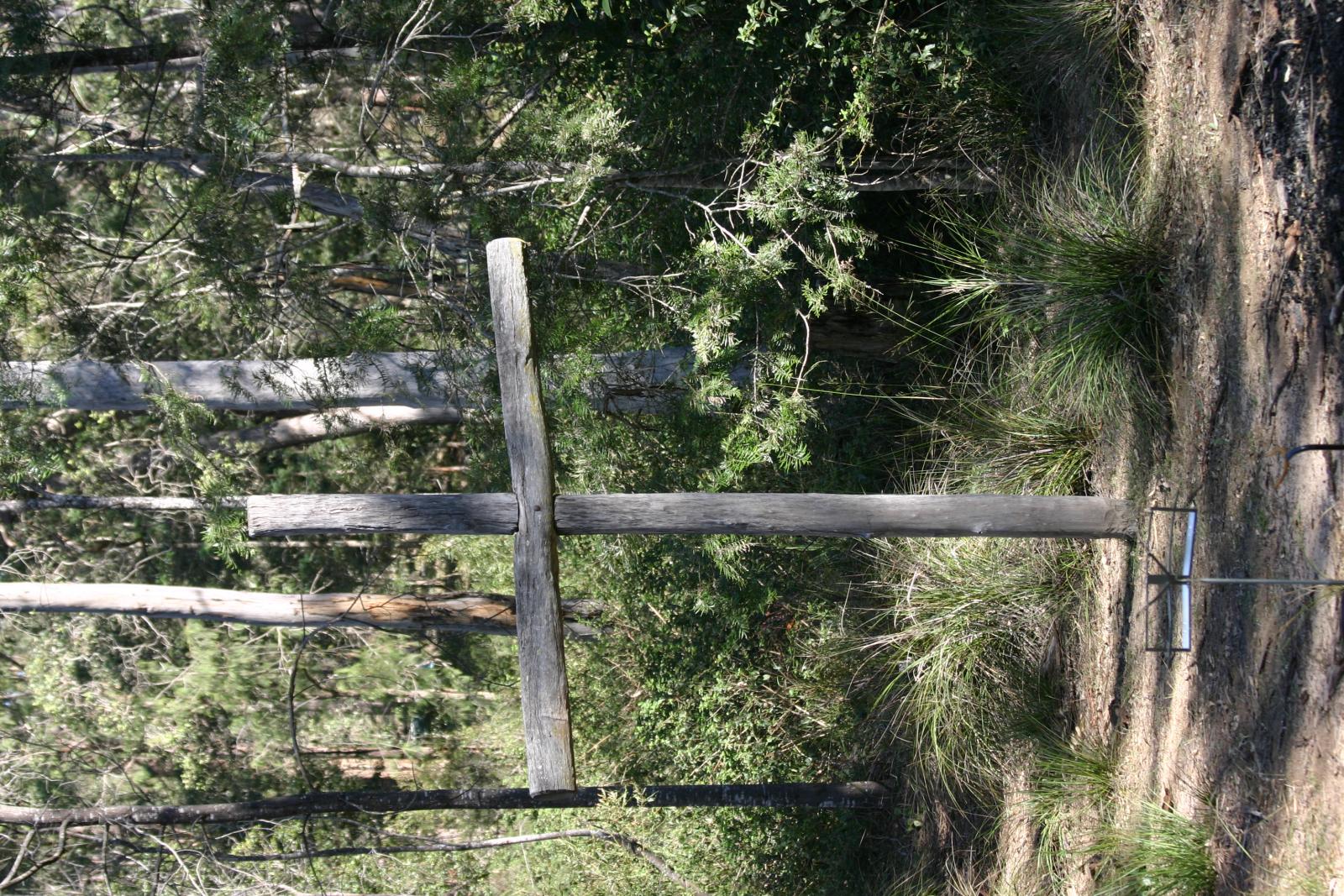
Feral Crucifix
Topographic Map of 84 Munro Rd, Hampton QLD, Australia
Find elevation by address:

Places near 84 Munro Rd, Hampton QLD, Australia:
92 Forest Dr
31 Forest Dr
Hampton
83 Keys Rd
Grapetree
133 Brennan Rd
Perseverance
4130 Esk Hampton Rd
116 Church House Rd
587 Merritts Creek Rd
Merritts Creek
176 Merritts Creek Rd
18 William St
Pechey
Mcquillan Road
Mount Luke
15 Merritts Creek Rd
439 Palmtree Rd
339 Perseverance Dam Rd
Aberdein Road
Recent Searches:
- Elevation of Corso Fratelli Cairoli, 35, Macerata MC, Italy
- Elevation of Tallevast Rd, Sarasota, FL, USA
- Elevation of 4th St E, Sonoma, CA, USA
- Elevation of Black Hollow Rd, Pennsdale, PA, USA
- Elevation of Oakland Ave, Williamsport, PA, USA
- Elevation of Pedrógão Grande, Portugal
- Elevation of Klee Dr, Martinsburg, WV, USA
- Elevation of Via Roma, Pieranica CR, Italy
- Elevation of Tavkvetili Mountain, Georgia
- Elevation of Hartfords Bluff Cir, Mt Pleasant, SC, USA