Elevation of Setouchi, Oshima District, Kagoshima Prefecture, Japan
Location: Japan > Kagoshima Prefecture > Oshima District >
Longitude: 129.314901
Latitude: 28.1464019
Elevation: 10m / 33feet
Barometric Pressure: 101KPa
Elevation Map:
Satellite Map:
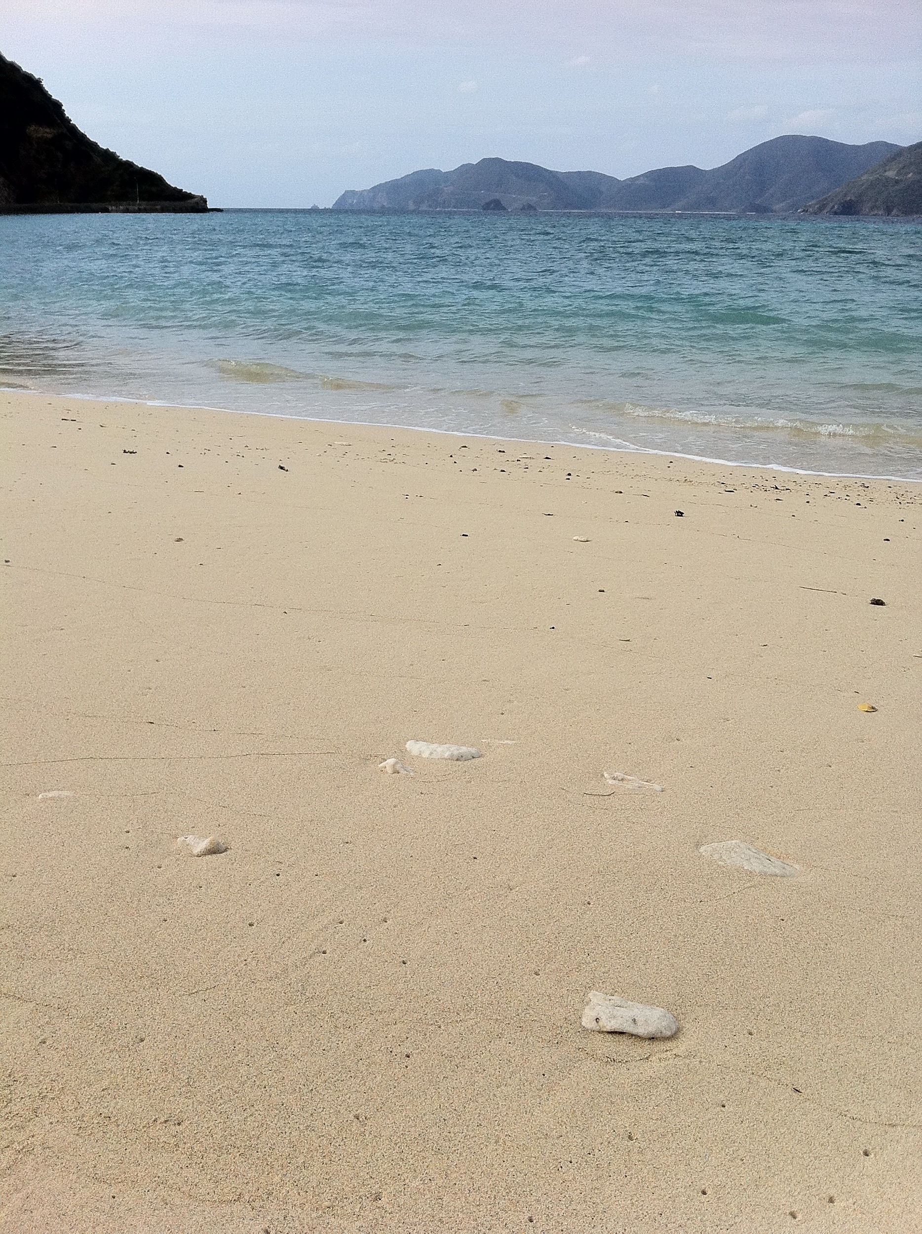
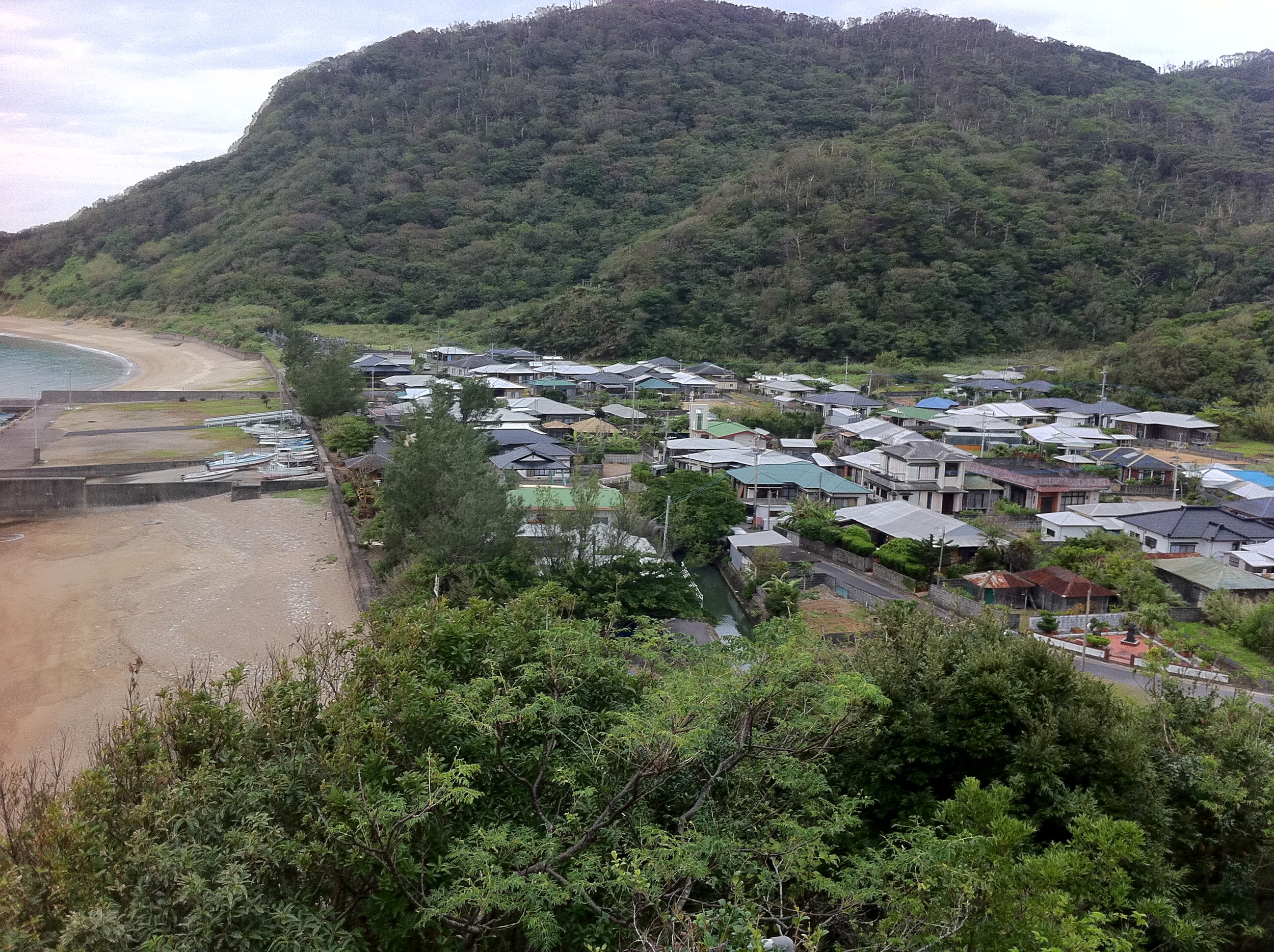
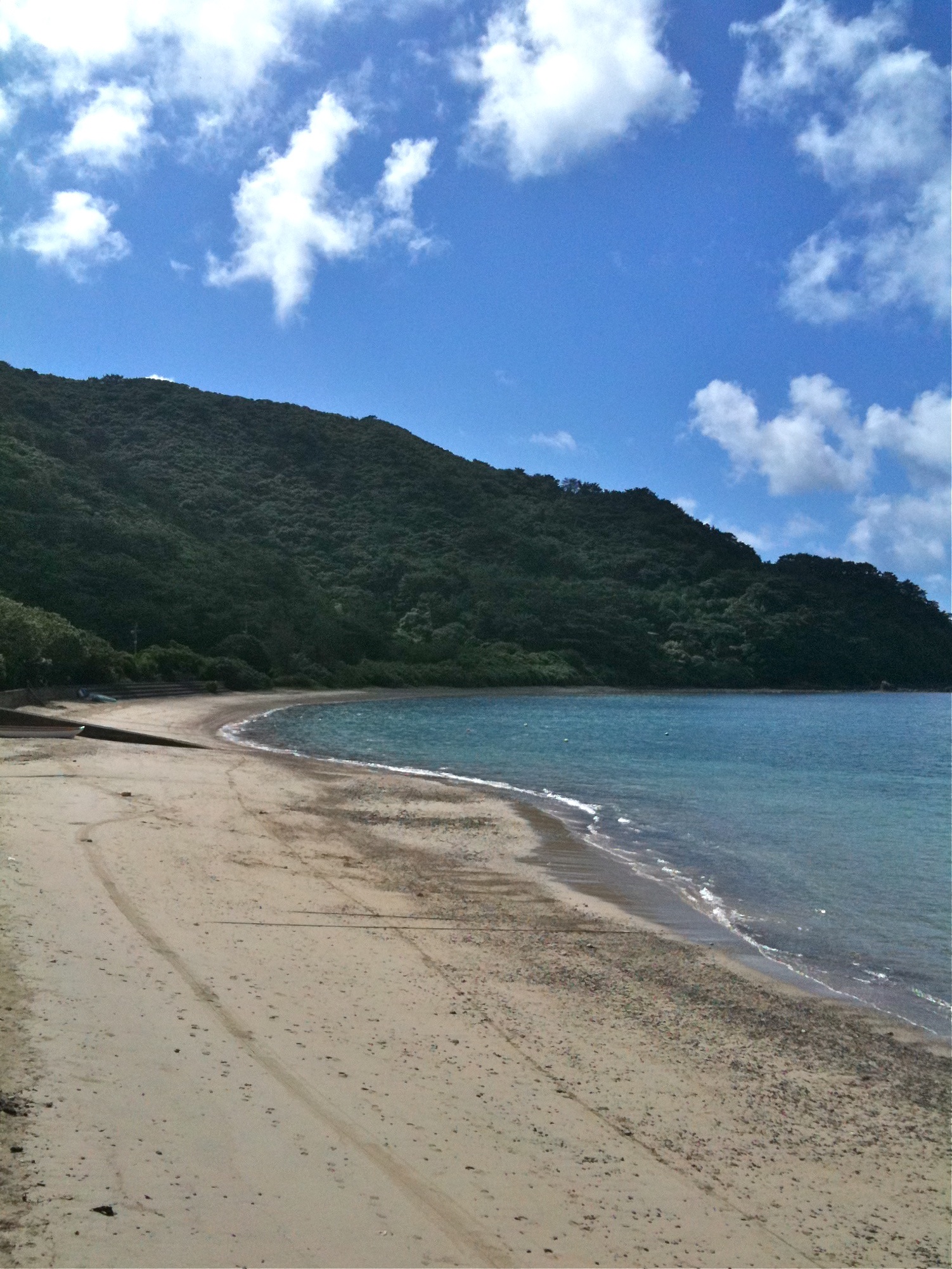
Related Photos:

夕暮れの光芒
201504_kakeroma - 247
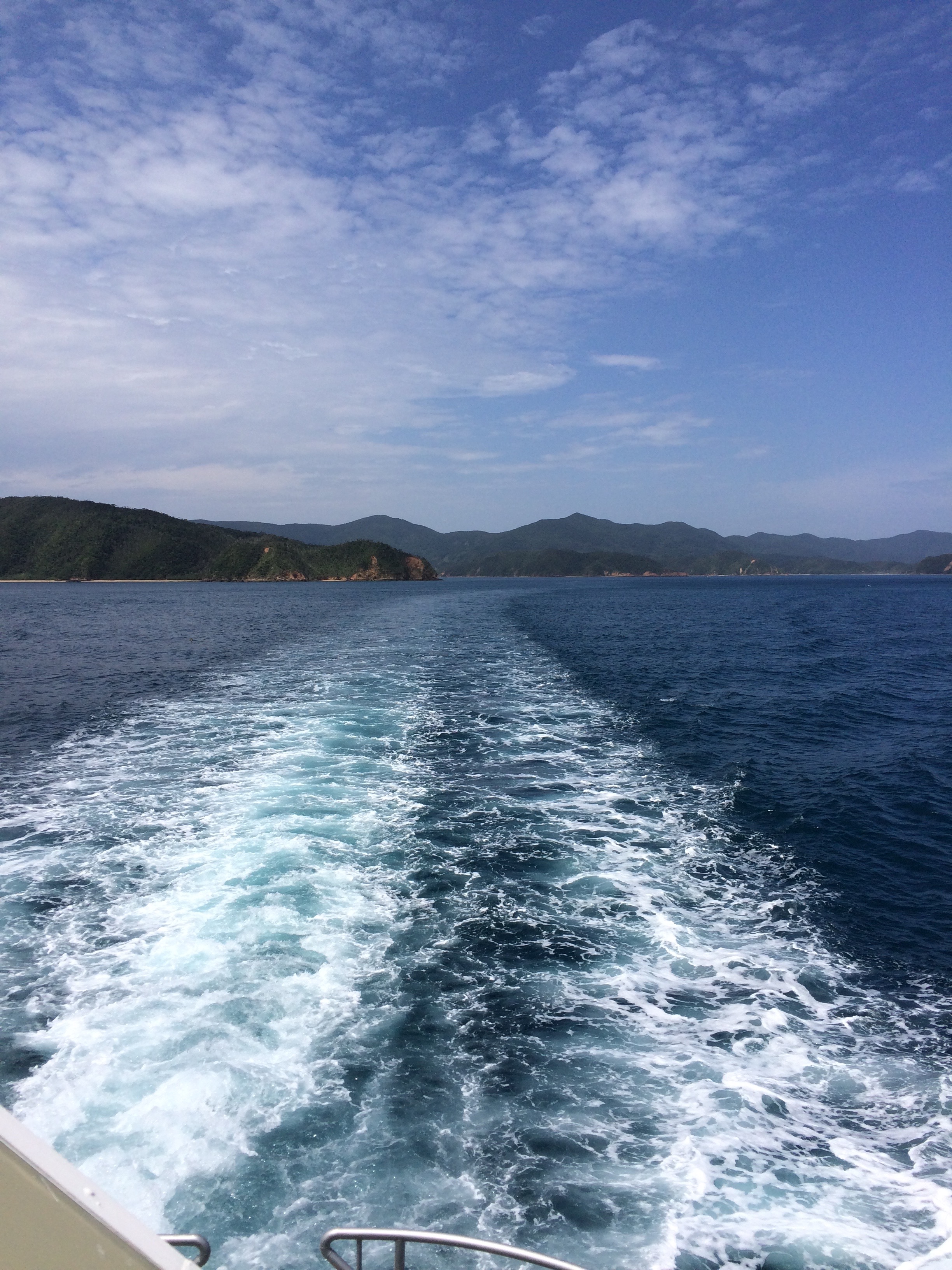
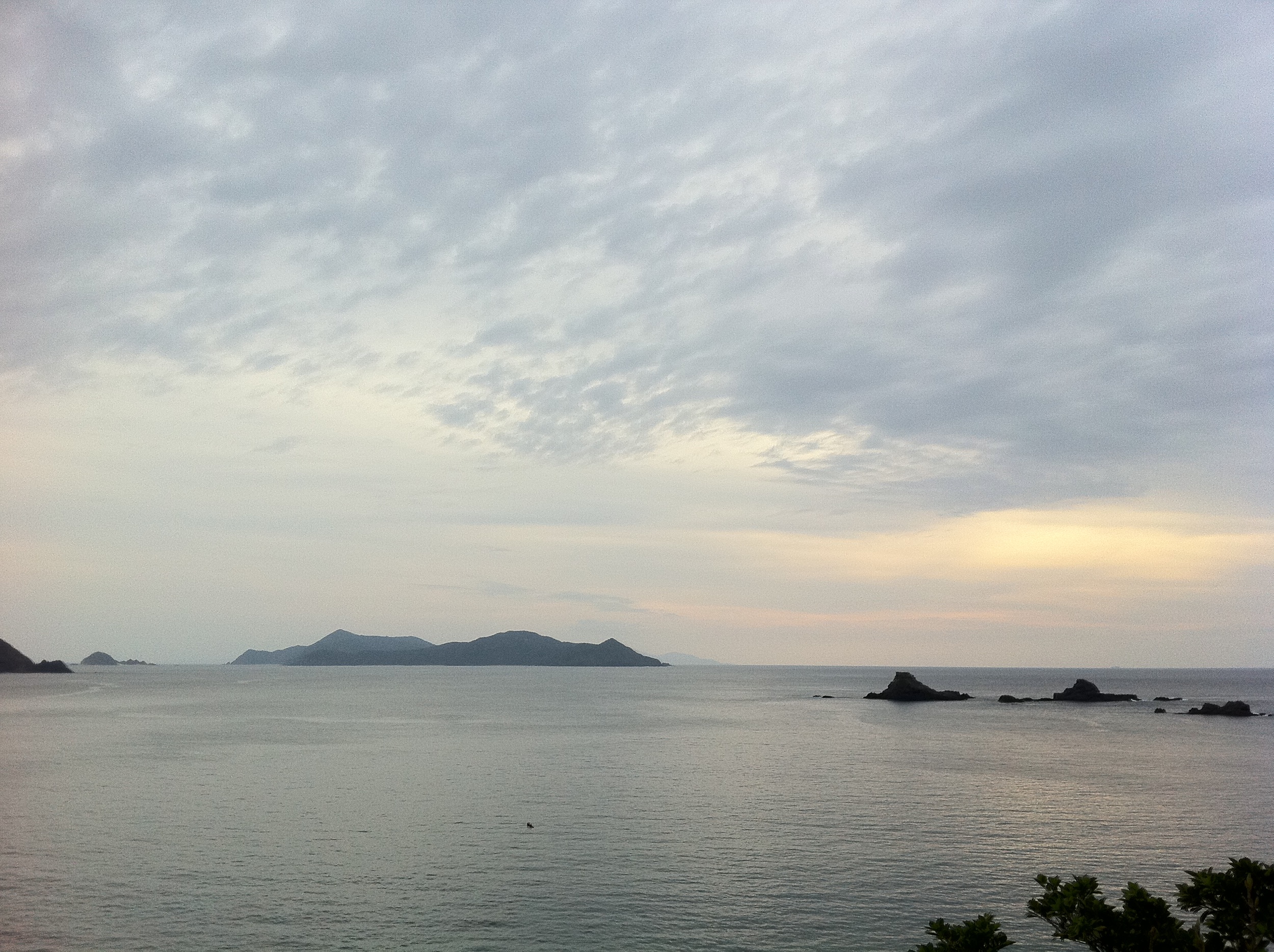
Oshima Strait
Saneku beach
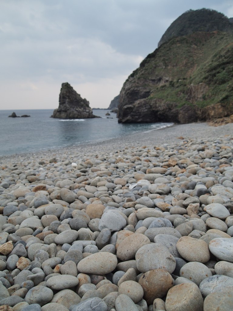
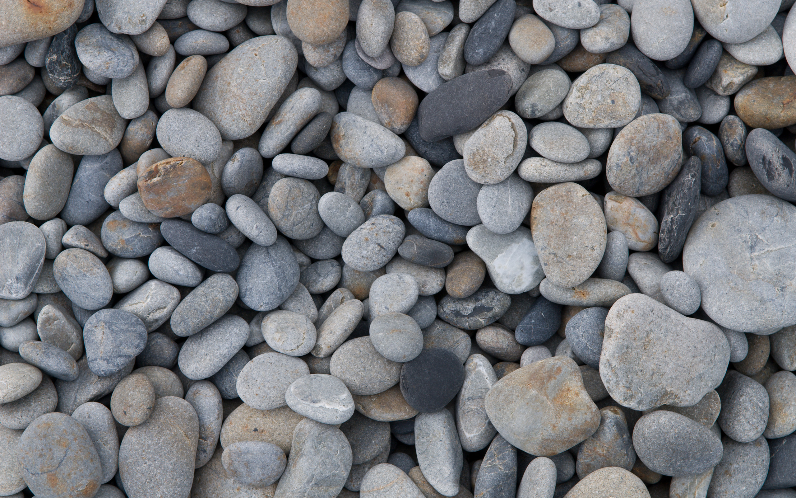
丸い石が敷き詰められたホノホシ海岸
カメラロール-365
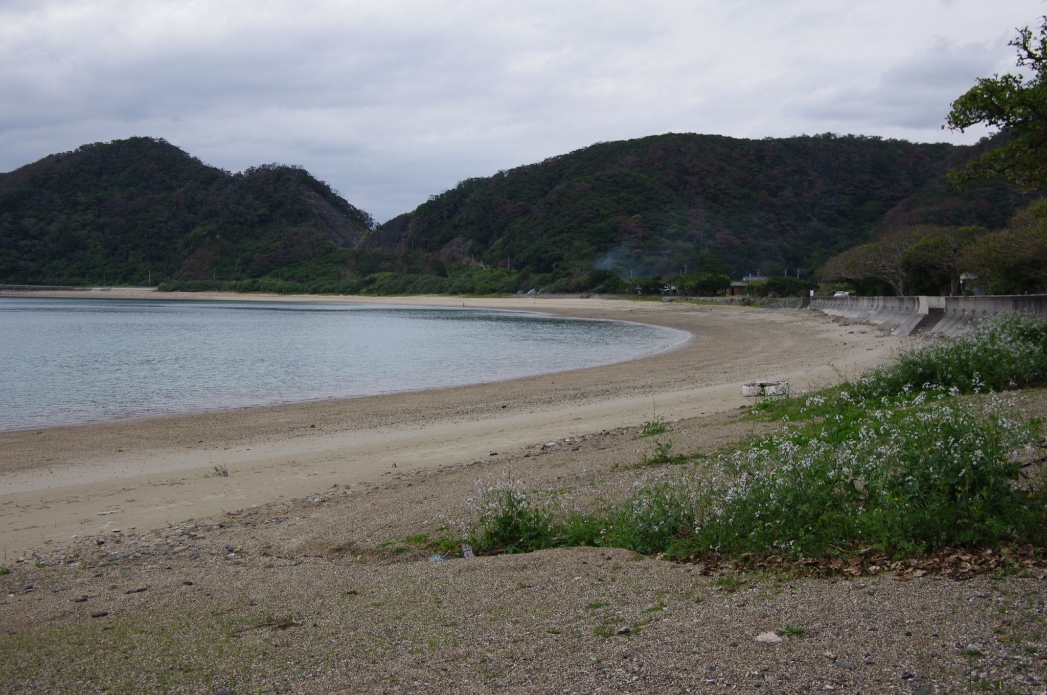
Shodon Nagahama
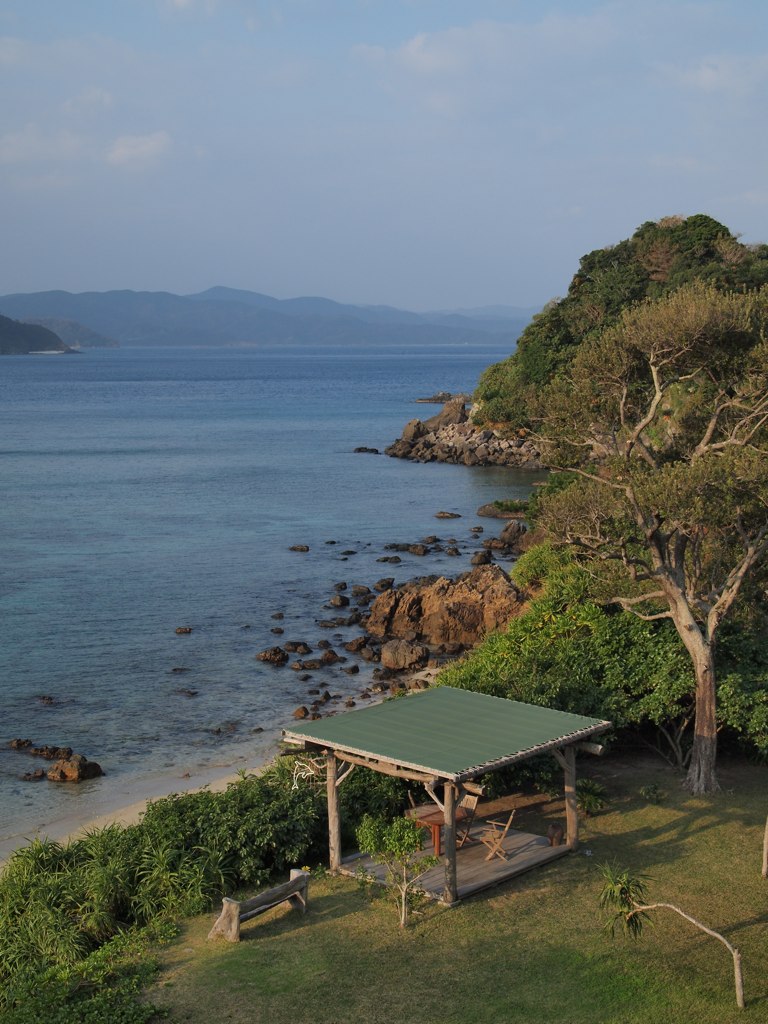
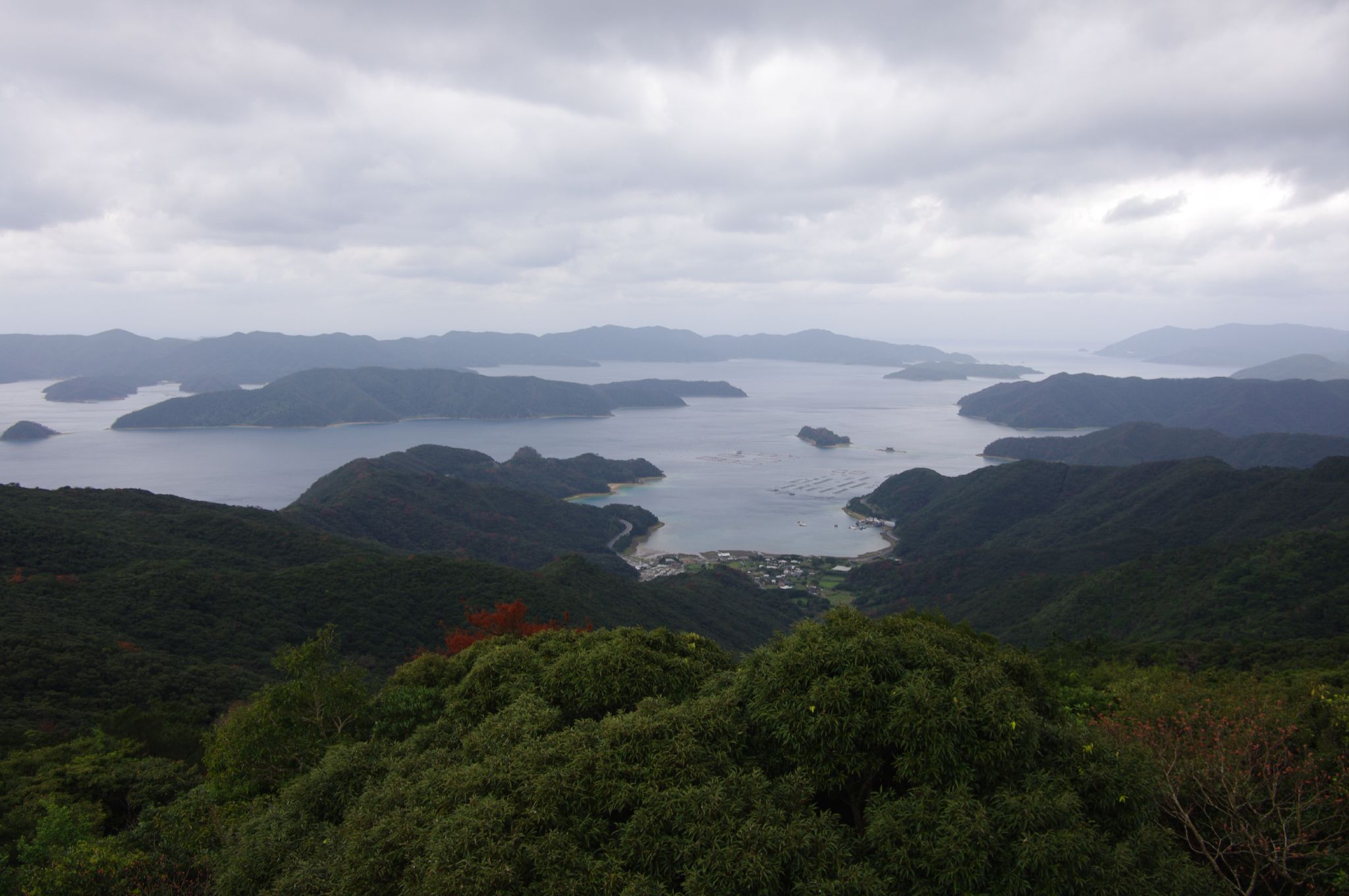
ホテルから望む加計呂麻島
カメラロール-357
カメラロール-364
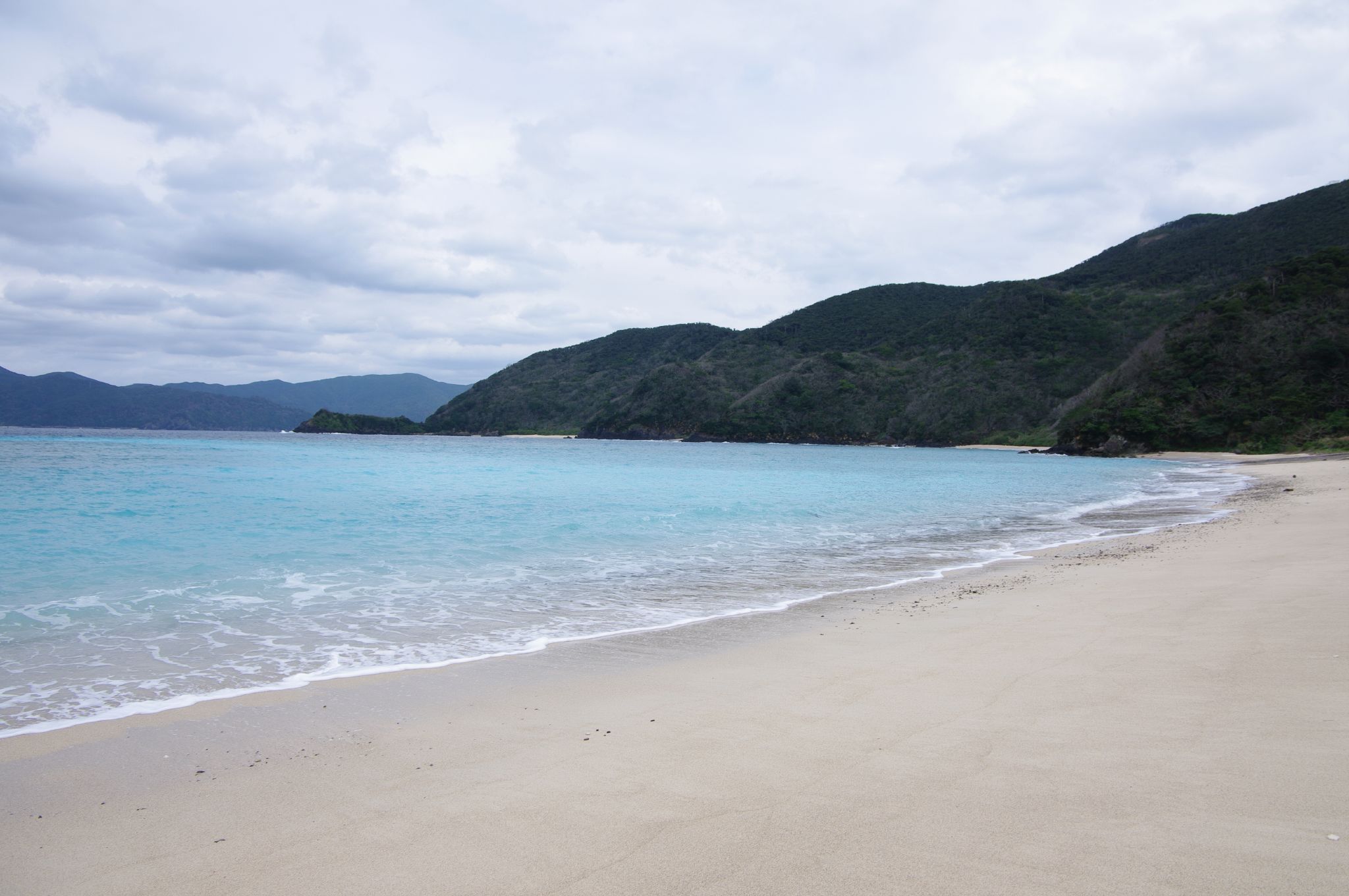
Seisui beach
Topographic Map of Setouchi, Oshima District, Kagoshima Prefecture, Japan
Find elevation by address:

Places in Setouchi, Oshima District, Kagoshima Prefecture, Japan:
Koniya, Setouchi-chō, Ōshima-gun, Kagoshima-ken -, Japan
Doren, Setouchi-chō, Ōshima-gun, Kagoshima-ken -, Japan
Places near Setouchi, Oshima District, Kagoshima Prefecture, Japan:
Koniya, Setouchi-chō, Ōshima-gun, Kagoshima-ken -, Japan
87 Suko, Uken-son, Ōshima-gun, Kagoshima-ken -, Japan
Uken
Naon, Yamato-son, Ōshima-gun, Kagoshima-ken -, Japan
Recent Searches:
- Elevation of Corso Fratelli Cairoli, 35, Macerata MC, Italy
- Elevation of Tallevast Rd, Sarasota, FL, USA
- Elevation of 4th St E, Sonoma, CA, USA
- Elevation of Black Hollow Rd, Pennsdale, PA, USA
- Elevation of Oakland Ave, Williamsport, PA, USA
- Elevation of Pedrógão Grande, Portugal
- Elevation of Klee Dr, Martinsburg, WV, USA
- Elevation of Via Roma, Pieranica CR, Italy
- Elevation of Tavkvetili Mountain, Georgia
- Elevation of Hartfords Bluff Cir, Mt Pleasant, SC, USA