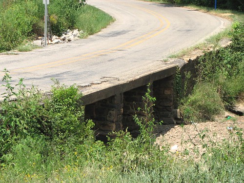
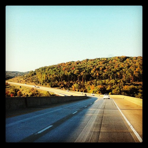
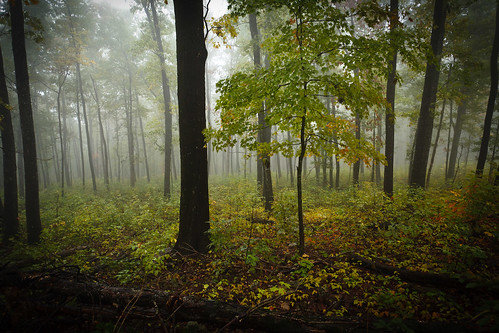
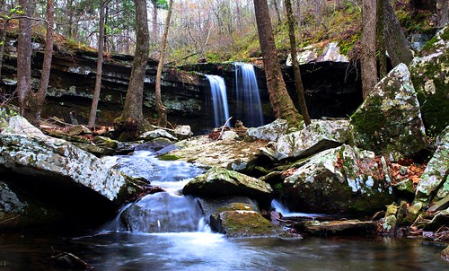
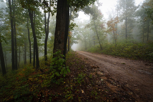
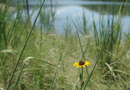
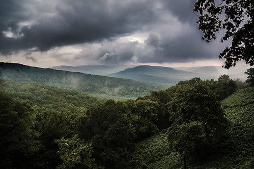
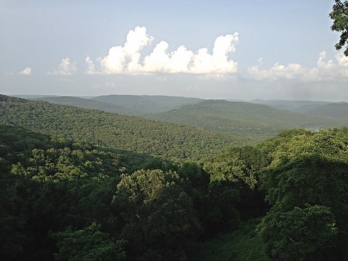
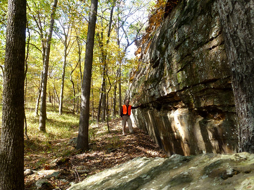
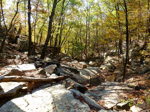
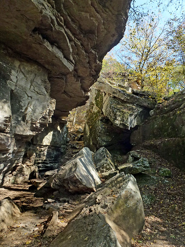
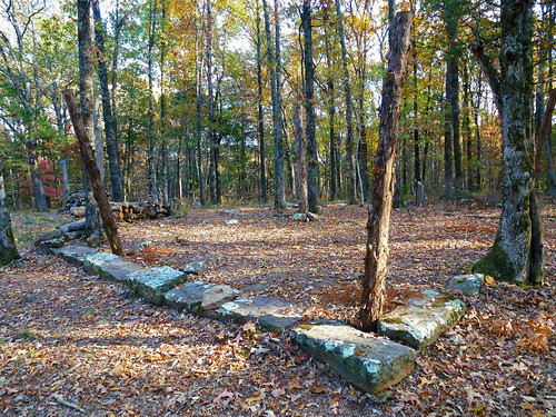
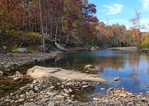
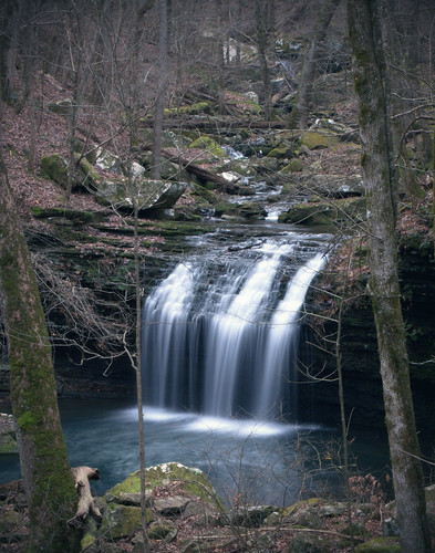
Elevation of Serviceberry Rd, Mountainburg, AR, USA
Location: United States > Arkansas > Crawford County > Mountainburg Township > Mountainburg >
Longitude: -94.160794
Latitude: 35.6447531
Elevation: 236m / 774feet
Barometric Pressure: 99KPa
Related Photos:
Topographic Map of Serviceberry Rd, Mountainburg, AR, USA
Find elevation by address:

Places near Serviceberry Rd, Mountainburg, AR, USA:
US-71, Mountainburg, AR, USA
Mountainburg
846 E Rumpus Ridge Rd
2109 Hickory St
Chester
Dickson, Chester, AR, USA
Chester
12739 Larue Rd
9301 Rackley Mountain Rd
Mountainburg Township
1508 Dow Jones Rd
Miller Township
Piney Rd, Mulberry, AR, USA
15620 Maxey Hill Rd
934 Mulberry Wire Rd
Mulberry
7347 Hickory Ridge Rd
5318 Us-64
Scenic View Drive
Wire Rd, Ozark, AR, USA
Recent Searches:
- Elevation of Corso Fratelli Cairoli, 35, Macerata MC, Italy
- Elevation of Tallevast Rd, Sarasota, FL, USA
- Elevation of 4th St E, Sonoma, CA, USA
- Elevation of Black Hollow Rd, Pennsdale, PA, USA
- Elevation of Oakland Ave, Williamsport, PA, USA
- Elevation of Pedrógão Grande, Portugal
- Elevation of Klee Dr, Martinsburg, WV, USA
- Elevation of Via Roma, Pieranica CR, Italy
- Elevation of Tavkvetili Mountain, Georgia
- Elevation of Hartfords Bluff Cir, Mt Pleasant, SC, USA


