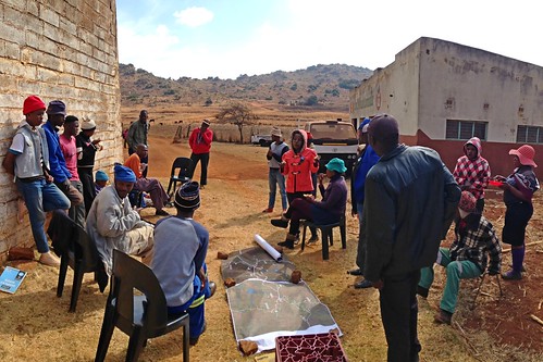
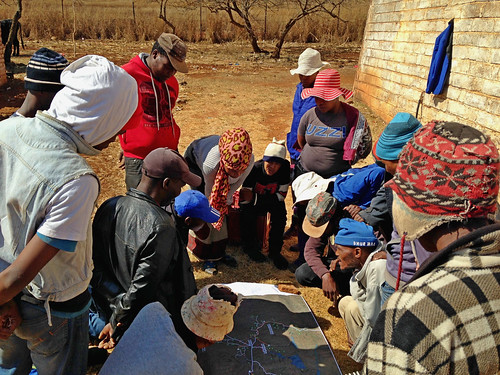
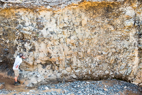
Elevation map of Sekhukhune District Municipality, South Africa
Location: South Africa > Limpopo >
Longitude: 29.9740534
Latitude: -24.833460
Elevation: 1098m / 3602feet
Barometric Pressure: 89KPa
Related Photos:
Topographic Map of Sekhukhune District Municipality, South Africa
Find elevation by address:

Places in Sekhukhune District Municipality, South Africa:
Places near Sekhukhune District Municipality, South Africa:
Monsterlus
Lydenburg
Tswaing
Lebowakgomo
Long Tom Pass
Pilgrimsrest
York Timbers Sabie Site
21 Virgilia St
36 Cycad St
Sabie
Sabie Market Square
Sabie
Magoebaskloof Adventures
Sabie
Graskop Hotel
Blyde River Canyon
Blyde Dam Visitor Deck
Graskop
Graskop
Haenertsburg
Recent Searches:
- Elevation of Corso Fratelli Cairoli, 35, Macerata MC, Italy
- Elevation of Tallevast Rd, Sarasota, FL, USA
- Elevation of 4th St E, Sonoma, CA, USA
- Elevation of Black Hollow Rd, Pennsdale, PA, USA
- Elevation of Oakland Ave, Williamsport, PA, USA
- Elevation of Pedrógão Grande, Portugal
- Elevation of Klee Dr, Martinsburg, WV, USA
- Elevation of Via Roma, Pieranica CR, Italy
- Elevation of Tavkvetili Mountain, Georgia
- Elevation of Hartfords Bluff Cir, Mt Pleasant, SC, USA


