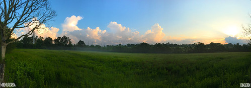
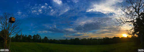
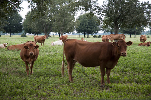
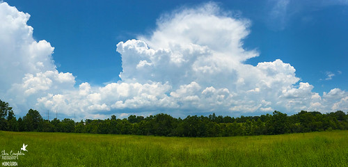
Elevation of Segrest Rd, Milton, FL, USA
Location: United States > Florida > Santa Rosa County > Milton >
Longitude: -87.209434
Latitude: 30.770323
Elevation: 56m / 184feet
Barometric Pressure: 101KPa
Related Photos:
Topographic Map of Segrest Rd, Milton, FL, USA
Find elevation by address:

Places near Segrest Rd, Milton, FL, USA:
9725 Chumuckla Hwy
Daybreak Lane
County Rd, Jay, FL, USA
Mineral Springs
Chumuckla Hwy, Jay, FL, USA
Cotton Lake Rd, Molino, FL, USA
Mcdavid
90 Main St, McDavid, FL, USA
South Century Boulevard
South Century Boulevard
N Century Blvd, Century, FL, USA
2801 Fl-97
3240 Camp Rd
County Rd, McDavid, FL, USA
S Hwy 99, McDavid, FL, USA
County Rd 99, McDavid, FL, USA
7940 Fl-97
County Rd 97A, McDavid, FL, USA
Walnut Hill
Recent Searches:
- Elevation of Corso Fratelli Cairoli, 35, Macerata MC, Italy
- Elevation of Tallevast Rd, Sarasota, FL, USA
- Elevation of 4th St E, Sonoma, CA, USA
- Elevation of Black Hollow Rd, Pennsdale, PA, USA
- Elevation of Oakland Ave, Williamsport, PA, USA
- Elevation of Pedrógão Grande, Portugal
- Elevation of Klee Dr, Martinsburg, WV, USA
- Elevation of Via Roma, Pieranica CR, Italy
- Elevation of Tavkvetili Mountain, Georgia
- Elevation of Hartfords Bluff Cir, Mt Pleasant, SC, USA
