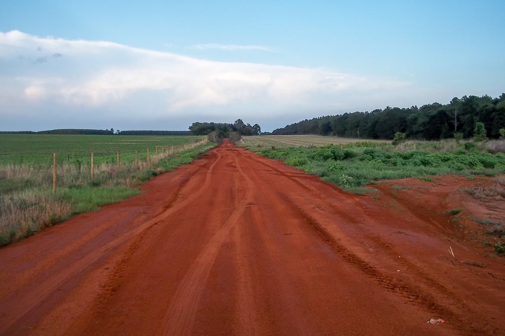
Elevation of County Rd 97A, McDavid, FL, USA
Location: United States > Florida > Escambia County > Mcdavid >
Longitude: -87.523867
Latitude: 30.791485
Elevation: 69m / 226feet
Barometric Pressure: 100KPa
Elevation Map:
Satellite Map:
Related Photos:

Cattails in the Afternoon
Baldwin County, Alabama

A Disused Field in Autumn (Panorama)

DSCN5032.jpg

DSCN5155.jpg
Baldwin County, Alabama
Baldwin County, Alabama

Paper Mill.

Northern Florida Small Church Original Painting.

Angel is my home dog! #k9sibling #89indogyears
Topographic Map of County Rd 97A, McDavid, FL, USA
Find elevation by address:

Places near County Rd 97A, McDavid, FL, USA:
County Rd 99, McDavid, FL, USA
S Hwy 99, McDavid, FL, USA
Walnut Hill
2801 Fl-97
7940 Fl-97
County Rd, McDavid, FL, USA
Cotton Lake Rd, Molino, FL, USA
3240 Camp Rd
Mcdavid
South Century Boulevard
South Century Boulevard
90 Main St, McDavid, FL, USA
Mineral Springs
N Century Blvd, Century, FL, USA
County Rd, Jay, FL, USA
Chumuckla Hwy, Jay, FL, USA
9725 Chumuckla Hwy
2649 Segrest Rd
Daybreak Lane
Recent Searches:
- Elevation of Corso Fratelli Cairoli, 35, Macerata MC, Italy
- Elevation of Tallevast Rd, Sarasota, FL, USA
- Elevation of 4th St E, Sonoma, CA, USA
- Elevation of Black Hollow Rd, Pennsdale, PA, USA
- Elevation of Oakland Ave, Williamsport, PA, USA
- Elevation of Pedrógão Grande, Portugal
- Elevation of Klee Dr, Martinsburg, WV, USA
- Elevation of Via Roma, Pieranica CR, Italy
- Elevation of Tavkvetili Mountain, Georgia
- Elevation of Hartfords Bluff Cir, Mt Pleasant, SC, USA