Elevation of Seewee Road & Come About Way, Seewee Rd & Come About Way, South Carolina, USA
Location: United States > South Carolina > Charleston County > Awendaw >
Longitude: -79.653681
Latitude: 32.9666551
Elevation: 7m / 23feet
Barometric Pressure: 101KPa
Elevation Map:
Satellite Map:
Related Photos:

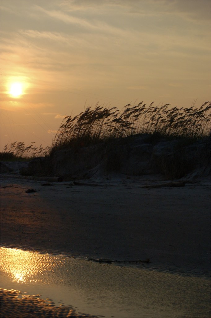
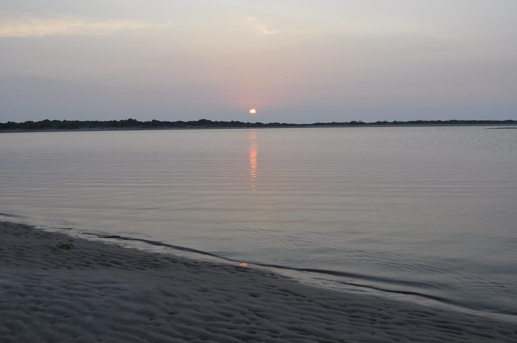
Panoramic reflections

Boneyard Beach2
Soft breeze

Bonyard Beach
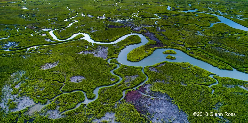
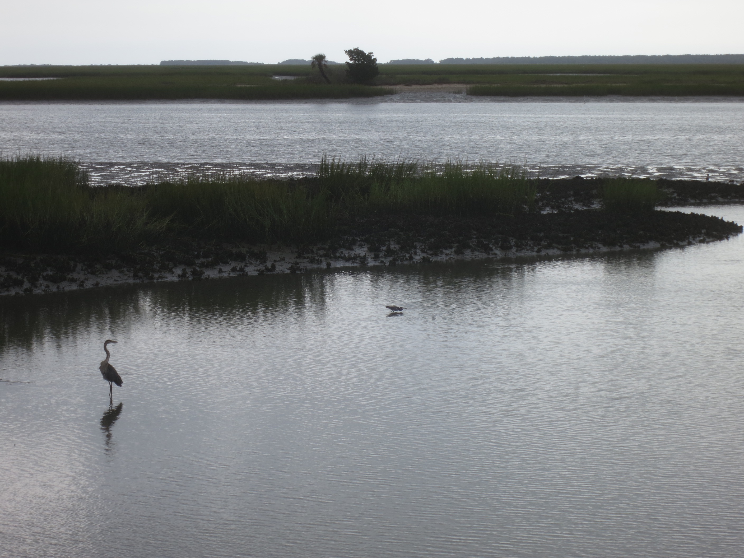
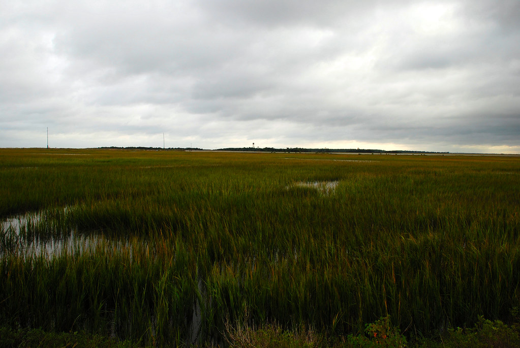
Marsh-782401
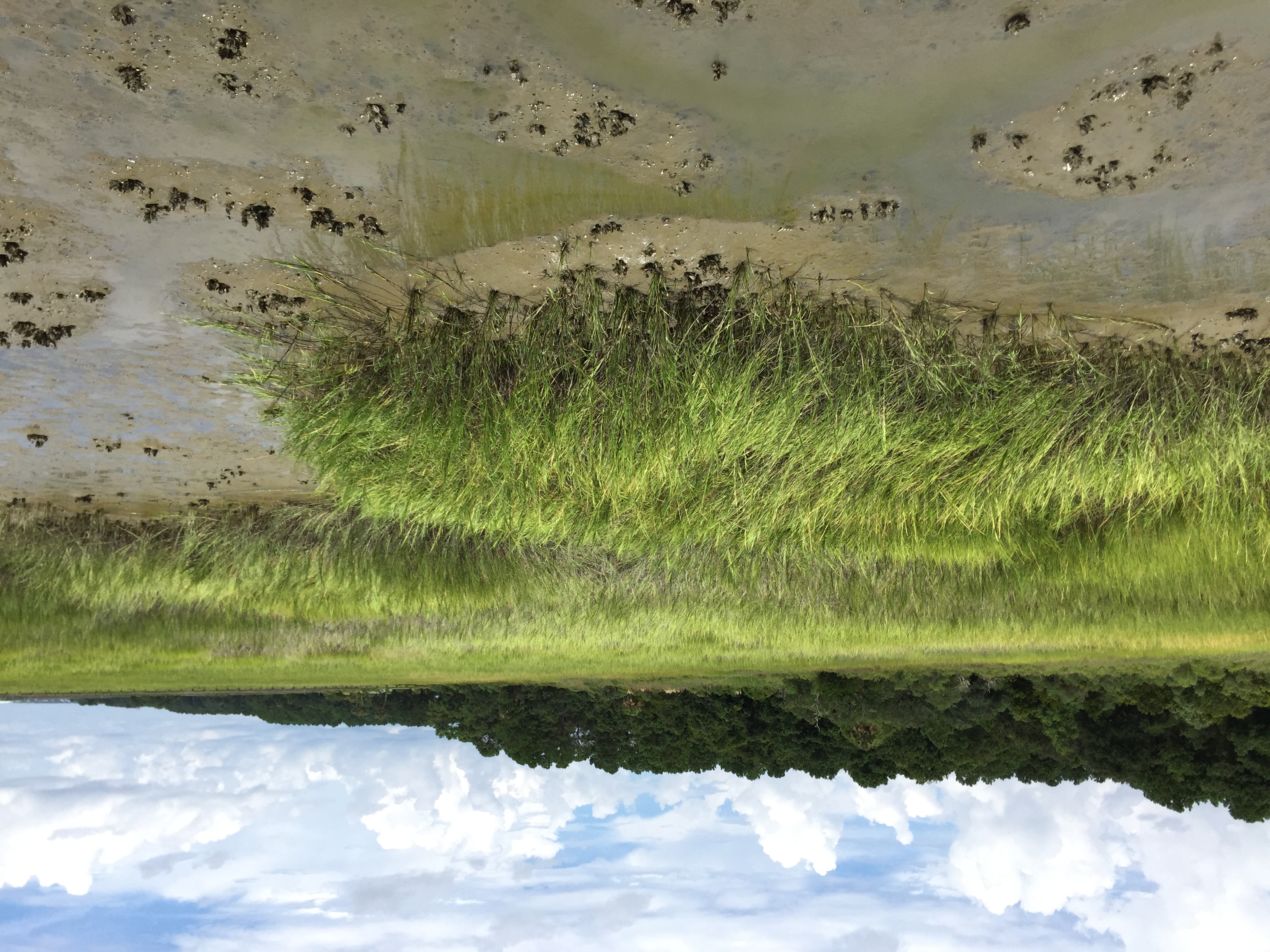
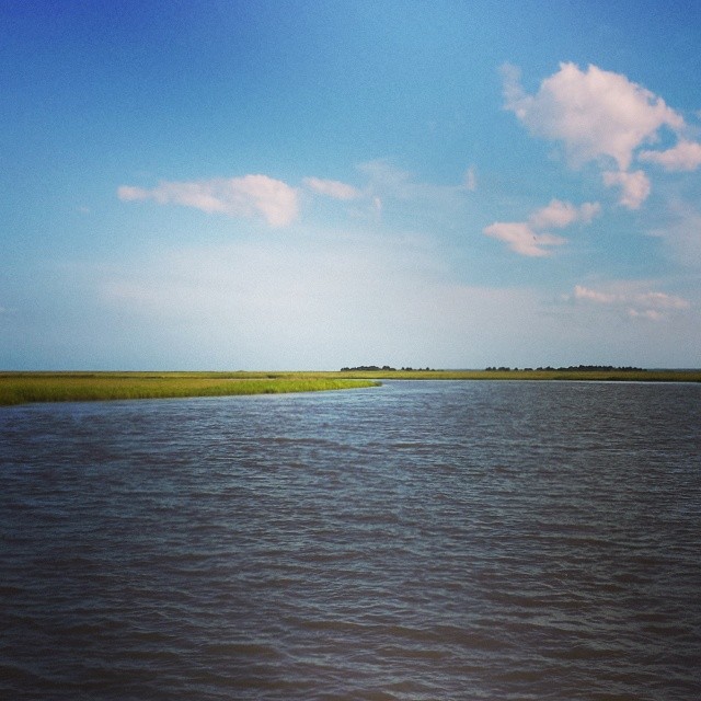
Copahee Sound

Morning Marsh-075901 (on explore 9/28/2013)
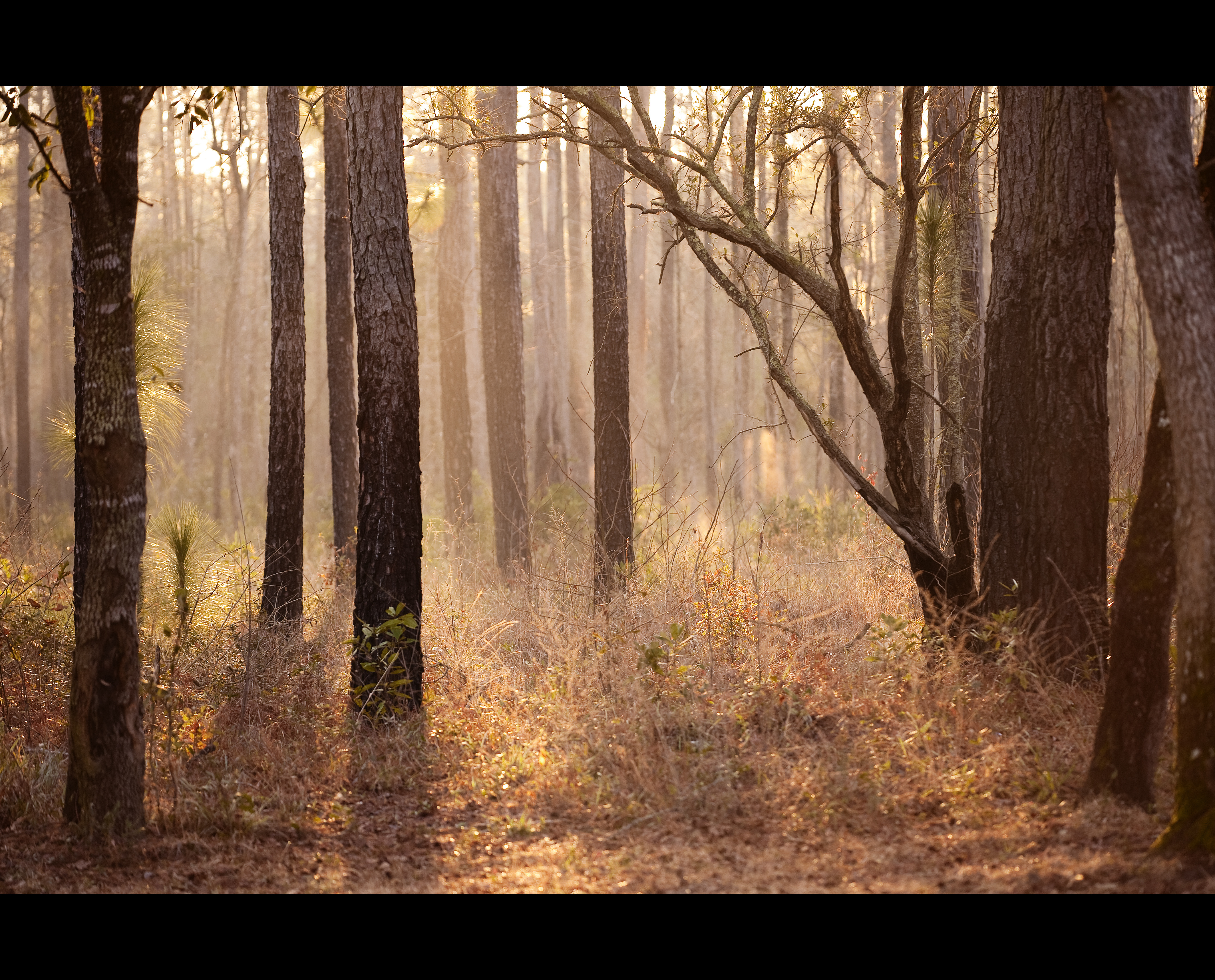
Day 1091 - Morning Fog
IMG_0748A misty morning at Bulls Bay
Garris Landing, Cape Romain National Wildlife Refuge
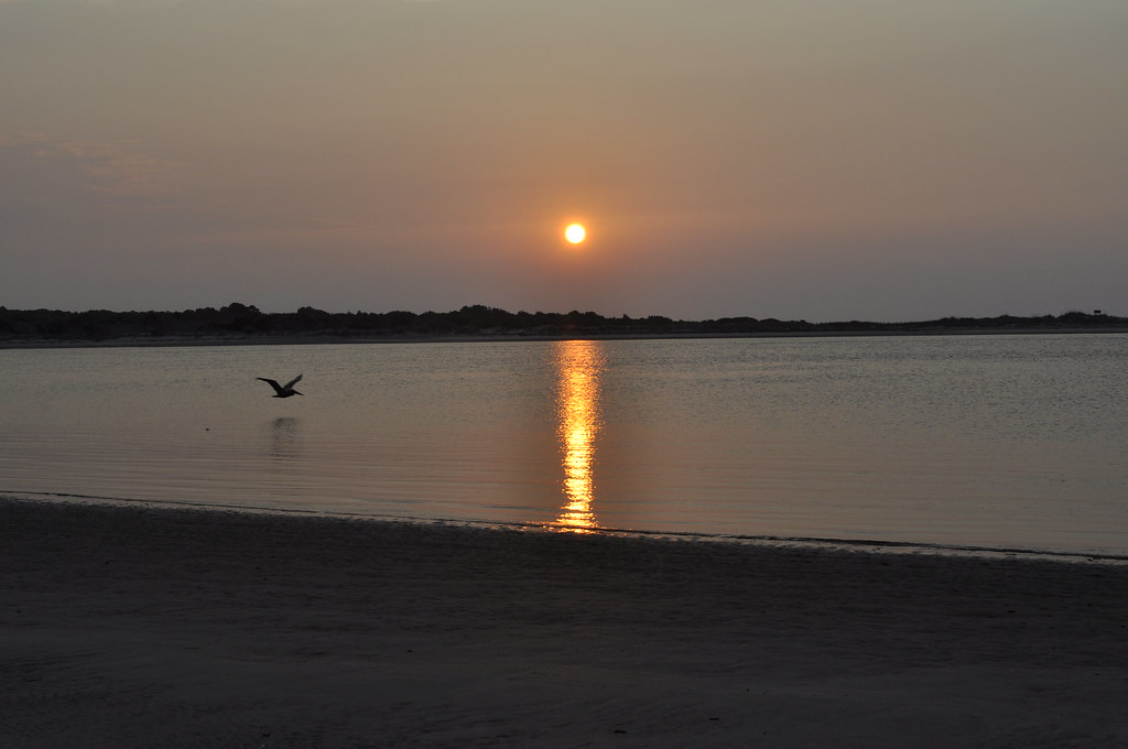
Morning Sunrise
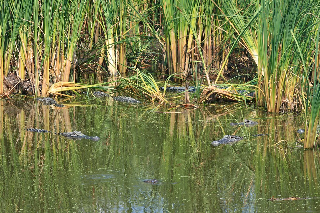
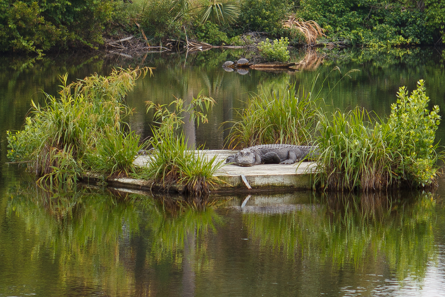
Gator Pond

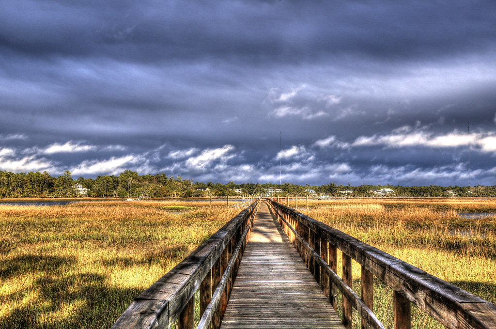
Sewee Shell Ring Boardwalk HDR
Morning Sunrise 2
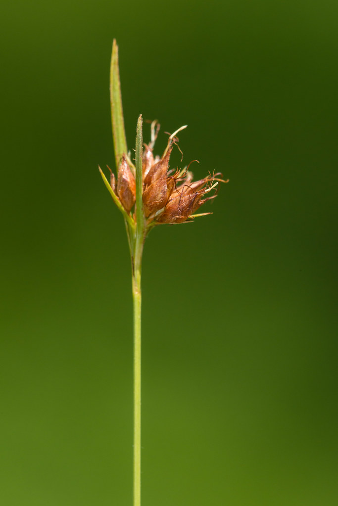
Rhynchospora ciliaris (Fringed Beaksedge)
Serenity.
Caper Island October 11-12 2008 (154)
7D_2011_MG_2971-2
Topographic Map of Seewee Road & Come About Way, Seewee Rd & Come About Way, South Carolina, USA
Find elevation by address:

Places near Seewee Road & Come About Way, Seewee Rd & Come About Way, South Carolina, USA:
6302 Come About Way
6308 Come About Way
6418 Come About Way
6454 Come About Way
6150 Jibe Ct
6124 Rudder Ln
Grannys Lane
6155 Caravelle Ct
6037 Jibe Ct
6384 Maxville Rd
Bulls Island Road
6971 Seewee Rd
905 Ralph Nesbit Rd
6594 N Hwy 17
Pelican Bay Drive
8540 Doar Rd
Gull Bay Drive
1200 Thames Rd
4827 Seewee Rd
1343 15 Mile Landing Rd
Recent Searches:
- Elevation of Corso Fratelli Cairoli, 35, Macerata MC, Italy
- Elevation of Tallevast Rd, Sarasota, FL, USA
- Elevation of 4th St E, Sonoma, CA, USA
- Elevation of Black Hollow Rd, Pennsdale, PA, USA
- Elevation of Oakland Ave, Williamsport, PA, USA
- Elevation of Pedrógão Grande, Portugal
- Elevation of Klee Dr, Martinsburg, WV, USA
- Elevation of Via Roma, Pieranica CR, Italy
- Elevation of Tavkvetili Mountain, Georgia
- Elevation of Hartfords Bluff Cir, Mt Pleasant, SC, USA