Elevation of Seewee Rd, Awendaw, SC, USA

Location: United States > South Carolina > Charleston County > Awendaw >

Longitude: -79.643432

Latitude: 32.989687

Elevation: 4m / 13feet

Barometric Pressure: 101KPa

Elevation Map:

elevation map of Seewee Rd, Awendaw, SC, USA

Satellite Map:

Satellite map of Seewee Rd, Awendaw, SC, USA

Related Photos:

awendaw southcarolina unitedstates us copahee sound
Copahee Sound
classinsectainsects orderorthopteragrasshopperscricketskatydids foundonasandyroadsideinapineforest francismarionnationalforestwillowhallrdcharlestoncosc mischievousbirdgrasshopperschistocercadamnifica
Mischievous Bird Grasshopper (Schistocerca damnifica)
geotagged geolat32937309 geolon79711652
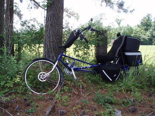
Lean when you have no kick stand
square squareformat iphoneography instagramapp uploaded:by=instagram
Sometimes the fishing is so good we just cruise around for the last hour. We loaded up on redfish yesterday and then checked out some sights. Here's a unique view of the Yorktown seen from the water! #Charleston #travel #harbortour #sc #mtpleasant #rig
classinsectainsects orderdipteraflies familyasilidaerobberflies foundonlowvegetationinapineforest francismarionnationalforestwillowhallrdcharlestoncosc beelikerobberflylaphria
bee-like robber fly (Laphria)
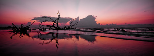
nature landscape sand sony southcarolina alpha boneyard bullsisland a65
Panoramic reflections
sony a65 boneyardbeach bullsisand
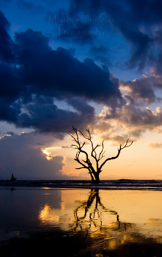
Bonyard Beach
day unitedstates cloudy southcarolina charleston hdr
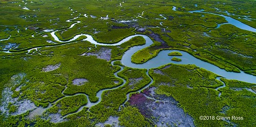
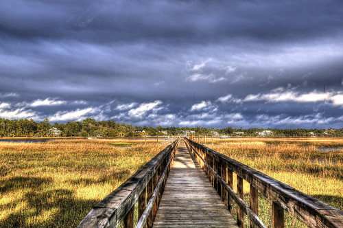
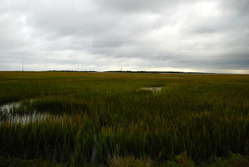
Marsh-782401
morning sunrise south mount carolina marsh pleasant
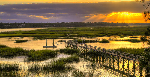
Morning Marsh-075901 (on explore 9/28/2013)
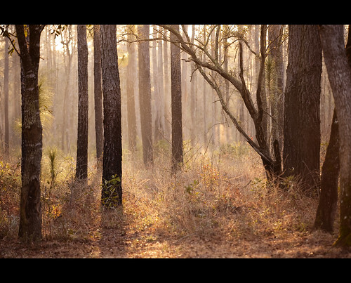
Day 1091 - Morning Fog
wildlife alligator national american wilderness refuge class1 bullsisland caperomain
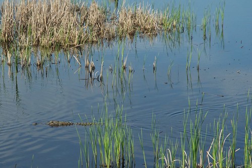
American Alligator
IMG_0748A misty morning at Bulls Bay
herringgull caperomain 70200 ef70200mmf28lisusm f56 canon canoneos30d
Herring Gull lift-off (8)
eclipse eclipse2017 solareclipse
Garris Landing, Cape Romain National Wildlife Refuge
island capers
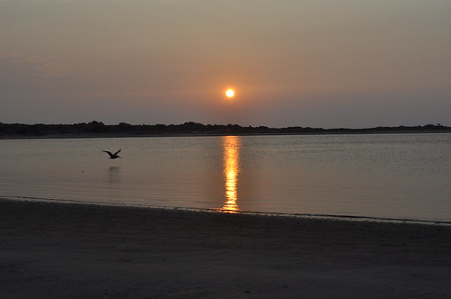
Morning Sunrise 2
island capers
Morning Sunrise
panoramio
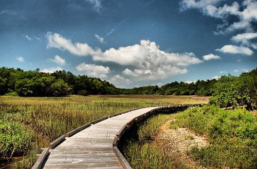
Sewee Shell Ring Boardwalk HDR
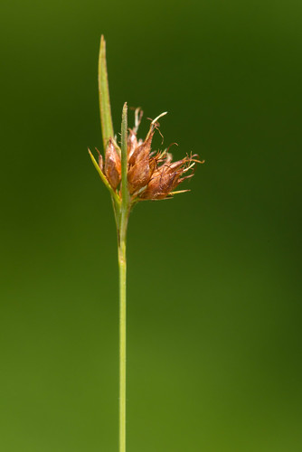
monocots cyperaceae rhynchosporaciliaris
Rhynchospora ciliaris (Fringed Beaksedge)
ocean sea beach sc island sand atlantic charleston driftwood shore charlestonsc atlanticocean undeveloped carolinas charlestonsouthcarolina saltwatermarsh barrierisland francismarionnationalforest capersisland protectedisland undevelopedbeach marineforest protectedmarsh capersislandcharleston
Caper Island October 11-12 2008 (154)
ocean beach sc southcarolina atlantic erosion charleston desolate charlestonsc atlanticocean capers charlestonsouthcarolina charlestoncounty francismarionnationalforest capersisland capersislandsc capersis capersislandsouthcarolina
Caper Island October 11-12 2008 (5)
eclipse eclipse2017 solareclipse
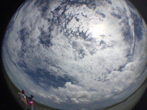
Eclipse Day Fish Eye
usa unitedstates southcarolina huger
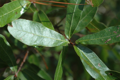
Quercus elliottii
birds birding
Bull's Island Beach
Bulls Bay, SC
white sc nature ferry island photographer alligator southcarolina bulls charleston marsh egret bullsbay caperomain sethberryphotography
White Egret and Gator