Elevation of Sedgwick County, CO, USA
Location: United States > Colorado >
Longitude: -102.34638
Latitude: 40.8568843
Elevation: 1173m / 3848feet
Barometric Pressure: 88KPa
Elevation Map:
Satellite Map:
Related Photos:
2011-09-01 20.07.43

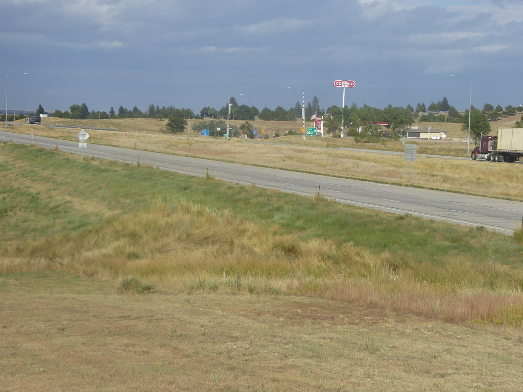
US 76

Truck_090311_LR-55.jpg
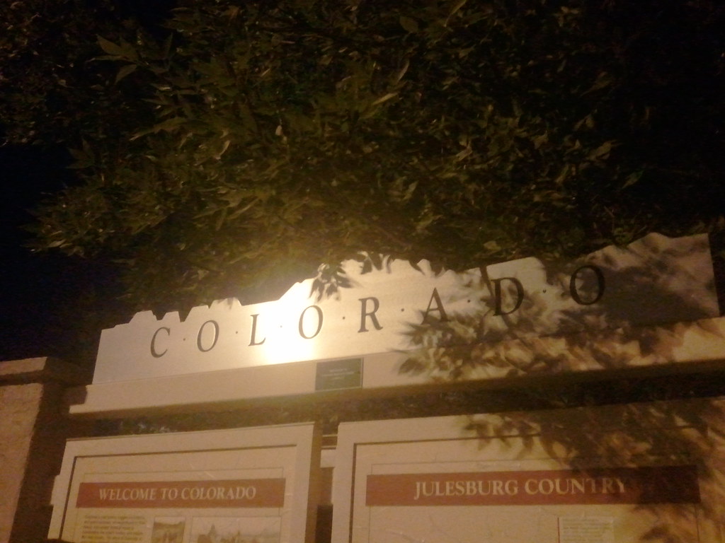
Ovid, CO

Truck_090311_LR-57.jpg

Truck_090311_LR-58.jpg
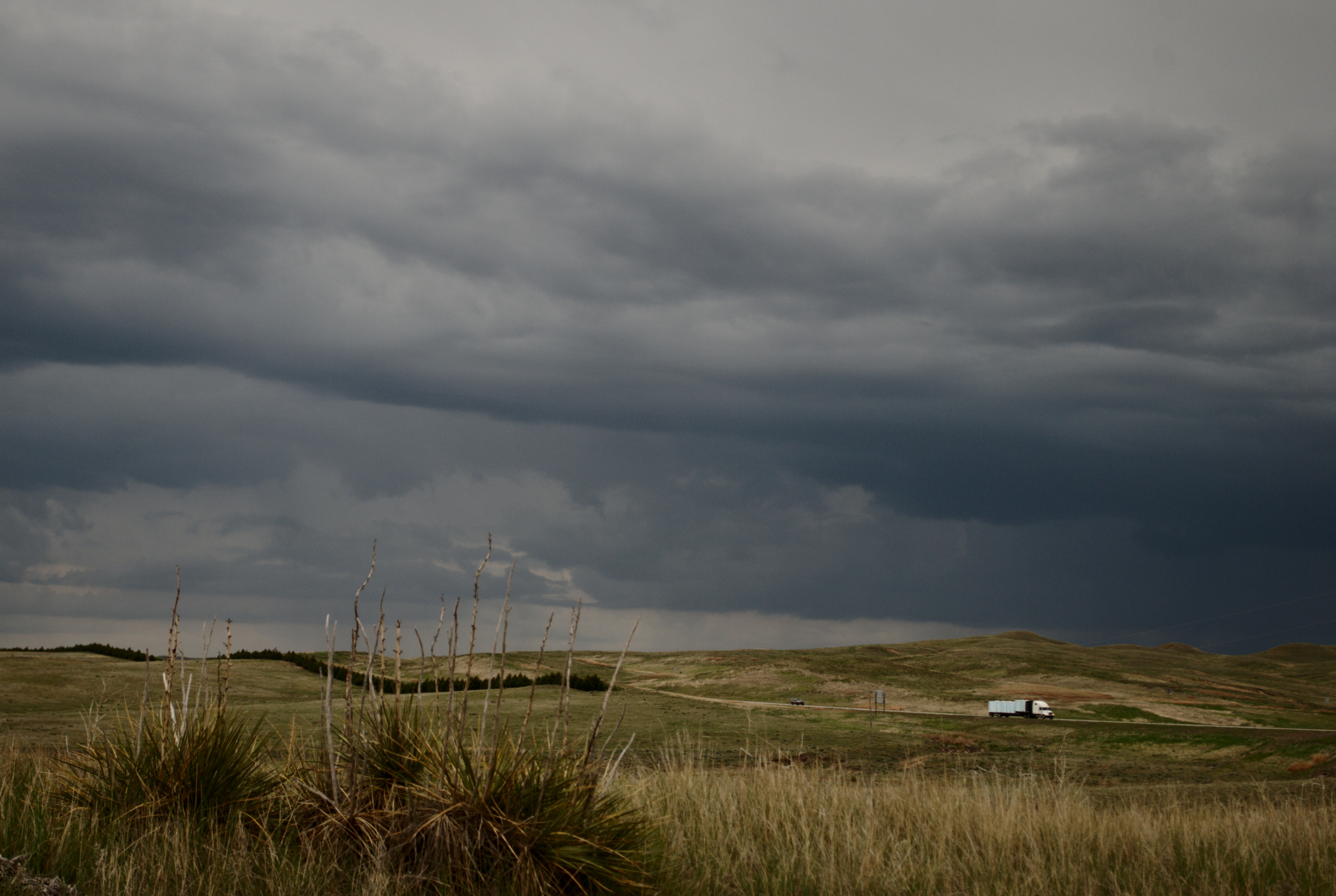
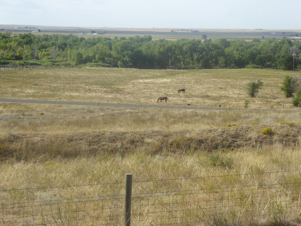
Sand Draw SWA
11 September 2015 Colorado (5)
11 September 2015 Colorado (2)
11 September 2015 Colorado (3)

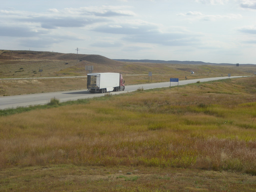
Truck_090311_LR-63.jpg
Topographic Map of Sedgwick County, CO, USA
Find elevation by address:

Places in Sedgwick County, CO, USA:
Places near Sedgwick County, CO, USA:
15225 Us-385
W 3rd St, Julesburg, CO, USA
Julesburg
Sedgwick
Chappell
Deuel County
Deuel County
Deuel County
Deuel County
16575 3 Mi Rd
Big Springs
Big Springs
Big Springs
Big Springs
Big Springs
Big Springs
Big Springs
Big Springs
Big Springs
Big Springs
Recent Searches:
- Elevation of Corso Fratelli Cairoli, 35, Macerata MC, Italy
- Elevation of Tallevast Rd, Sarasota, FL, USA
- Elevation of 4th St E, Sonoma, CA, USA
- Elevation of Black Hollow Rd, Pennsdale, PA, USA
- Elevation of Oakland Ave, Williamsport, PA, USA
- Elevation of Pedrógão Grande, Portugal
- Elevation of Klee Dr, Martinsburg, WV, USA
- Elevation of Via Roma, Pieranica CR, Italy
- Elevation of Tavkvetili Mountain, Georgia
- Elevation of Hartfords Bluff Cir, Mt Pleasant, SC, USA