Elevation of Sears Road, Sears Rd, Fort Denaud, FL, USA
Location: United States > Florida >
Longitude: -81.349046
Latitude: 26.6469888
Elevation: 10m / 33feet
Barometric Pressure: 101KPa
Elevation Map:
Satellite Map:
Related Photos:

Panther Ecoscape
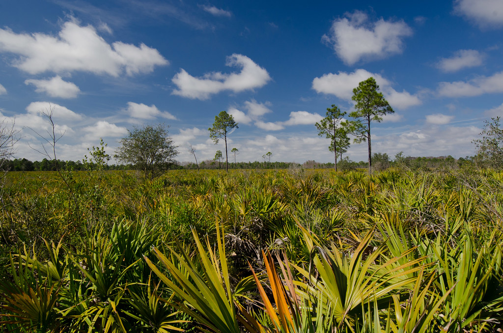
Panther Ecoscape

Okaloacoochee Slough Sunrise

Coreopsis leavenworthii

Morning in the greenbelt

Another beautiful day

Kiki and Black

Ok Slough

Palamedes Swallowtail - Papilio palamedes

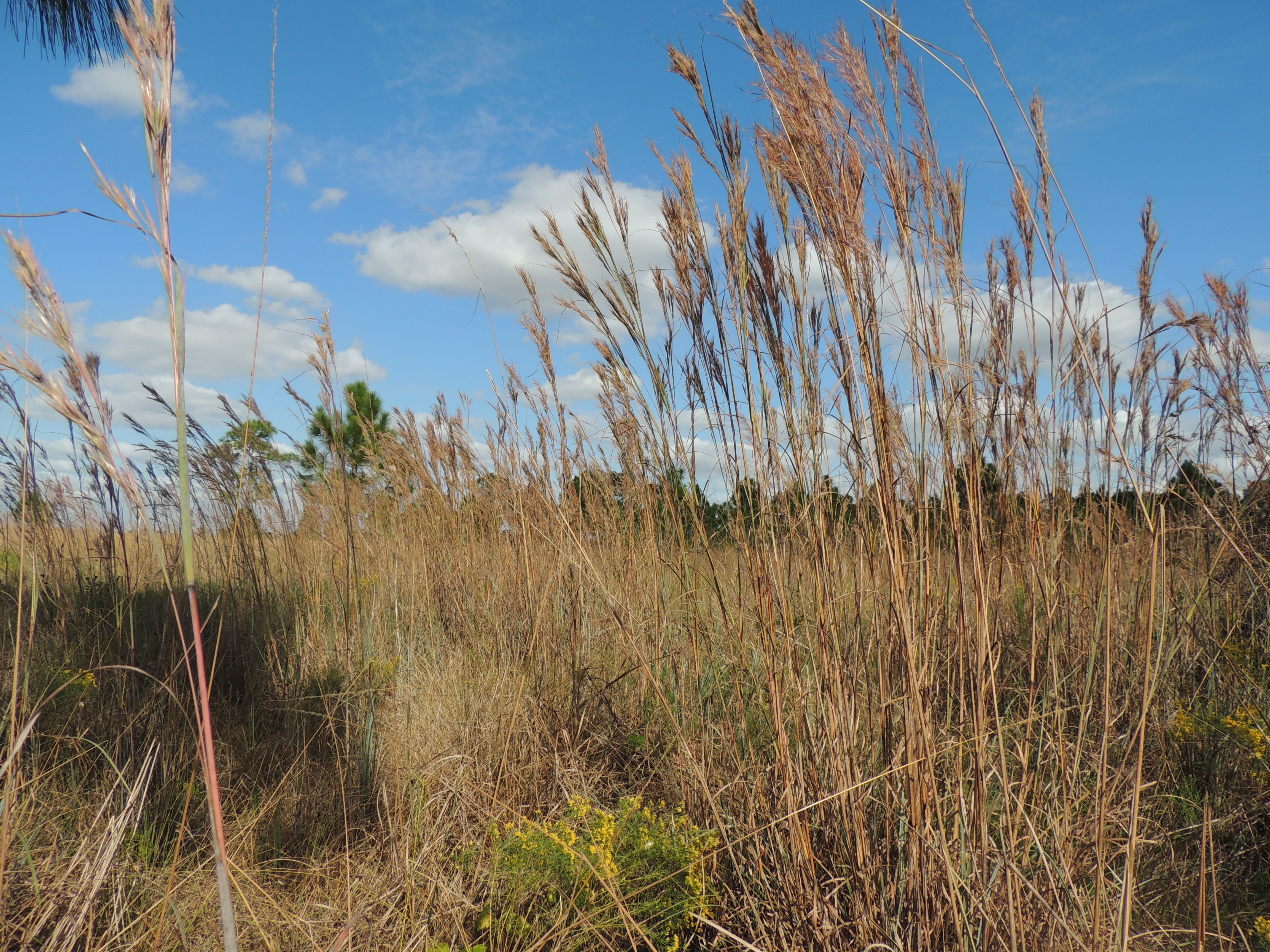
Okaloacoochee Slough State Forest

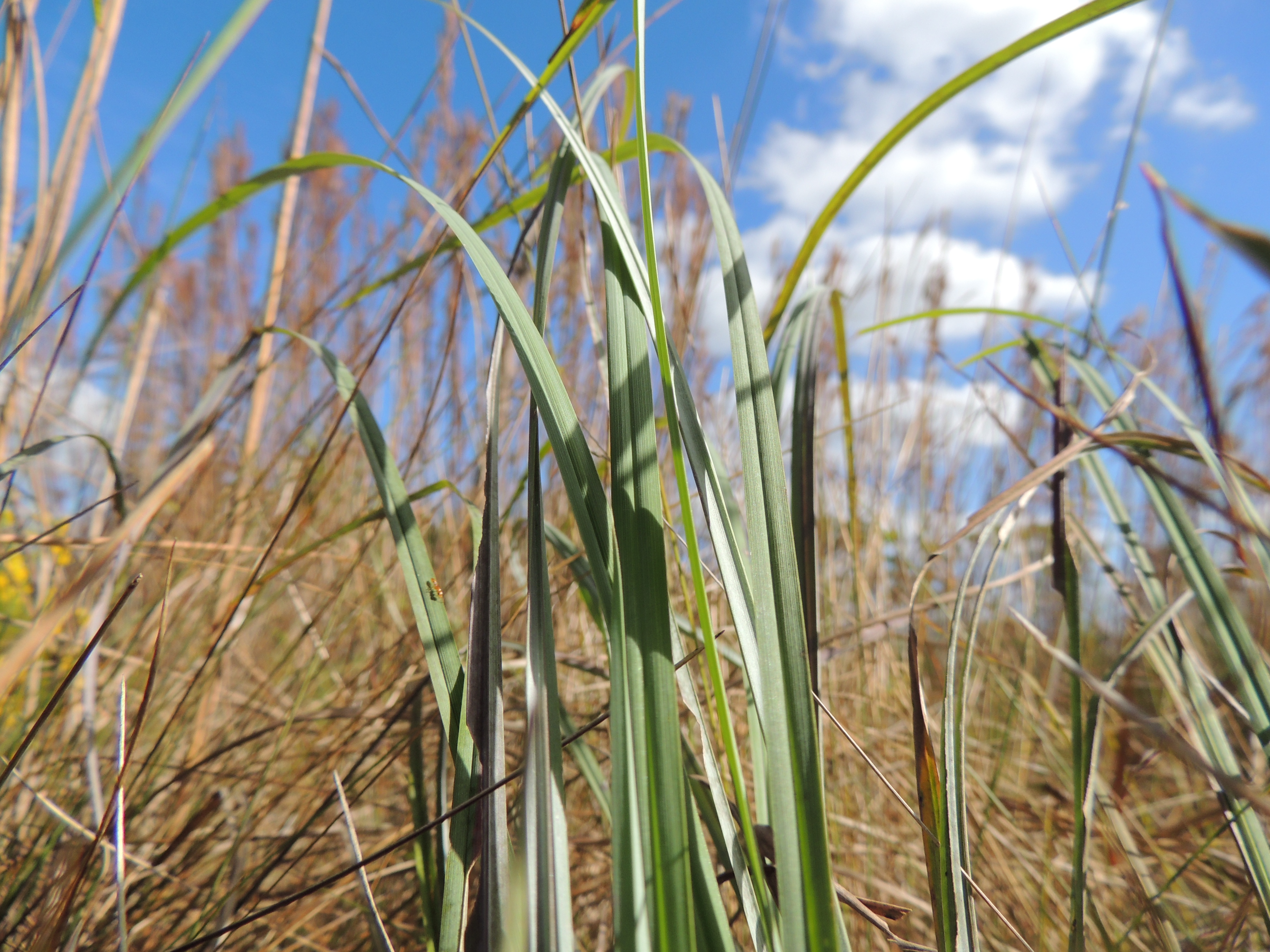
Andropogon glomeratus
Andropogon glomeratus, Broom Sedge
Cladium jamaicense, Sawgrass

Polygala rugelii, Yellow Milkwort
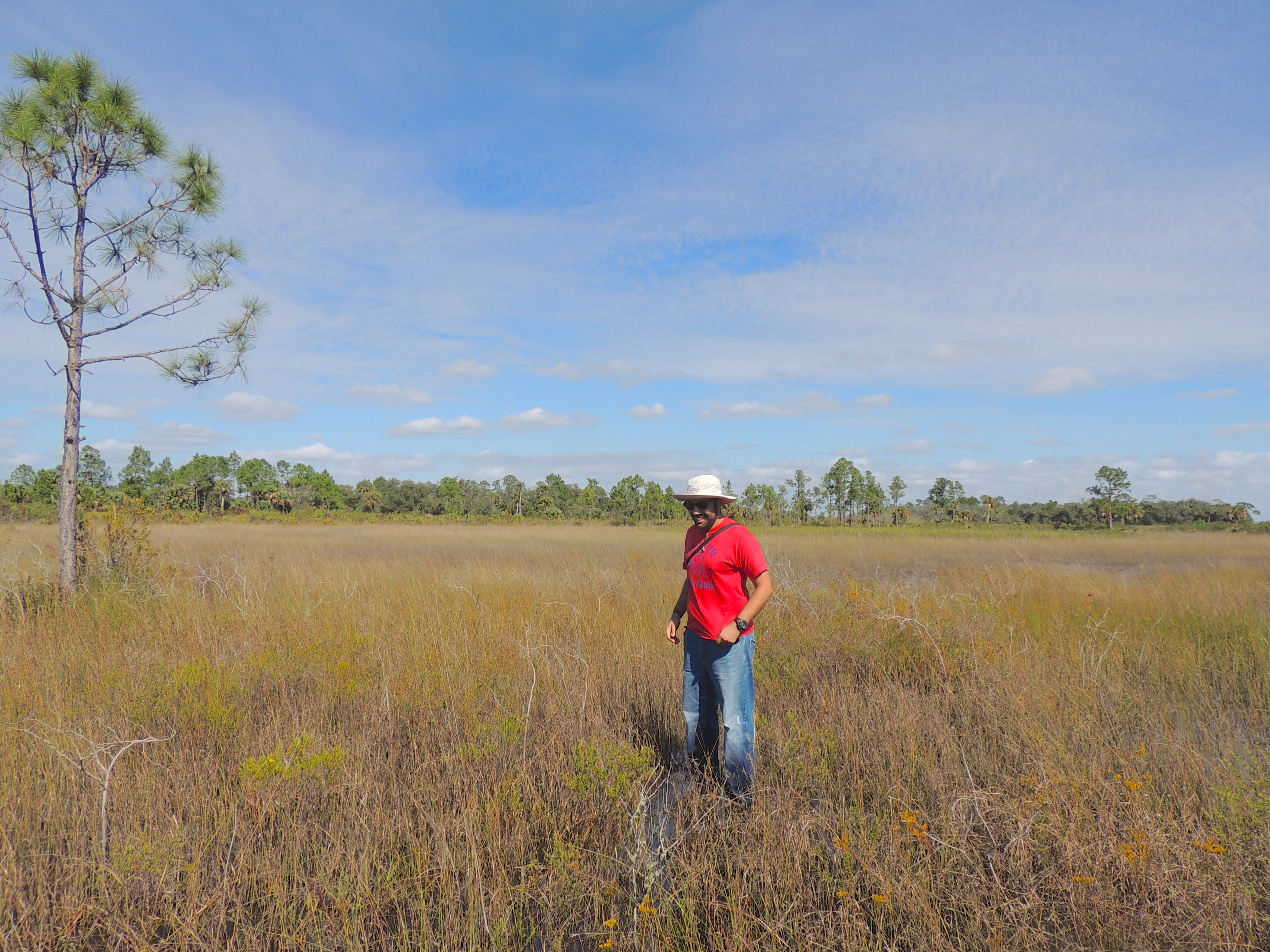
Diego poses in the grassland.

Mariana and ?
Topographic Map of Sears Road, Sears Rd, Fort Denaud, FL, USA
Find elevation by address:

Places near Sears Road, Sears Rd, Fort Denaud, FL, USA:
Sears Road
1st Road
Sears Rd, LaBelle, FL, USA
Keri Lookout Tower
3150 Evans Rd
2805 Case Rd
3288 Fussell-grade
320 G Rd
1220 A Rd
6010 Fl-29
1505 Case Rd
385 Case Rd
1855 Tampa Ave
Felda
FL-29, Felda, FL, USA
300 Vero Ave
13880 Tangelo Ave
Lehigh Acres, FL, USA
7605 D H Parker Rd
Immokalee Regional Airport
Recent Searches:
- Elevation of Corso Fratelli Cairoli, 35, Macerata MC, Italy
- Elevation of Tallevast Rd, Sarasota, FL, USA
- Elevation of 4th St E, Sonoma, CA, USA
- Elevation of Black Hollow Rd, Pennsdale, PA, USA
- Elevation of Oakland Ave, Williamsport, PA, USA
- Elevation of Pedrógão Grande, Portugal
- Elevation of Klee Dr, Martinsburg, WV, USA
- Elevation of Via Roma, Pieranica CR, Italy
- Elevation of Tavkvetili Mountain, Georgia
- Elevation of Hartfords Bluff Cir, Mt Pleasant, SC, USA