Elevation of Lehigh Acres, FL, USA
Location: United States > Florida > Lee County > Lehigh Acres >
Longitude: -81.548672
Latitude: 26.6043911
Elevation: 9m / 30feet
Barometric Pressure: 101KPa
Elevation Map:
Satellite Map:
Related Photos:

American Bittern

Clouds at Sunrise

White Peacock (Anartia jatrophae)

Caloosahatchee River

Gliding over the Marsh..

Palm Warbler

Caloosahatchee River
Look out tower
Camera Roll-153

Savannah Sparrow

Practice makes perfect
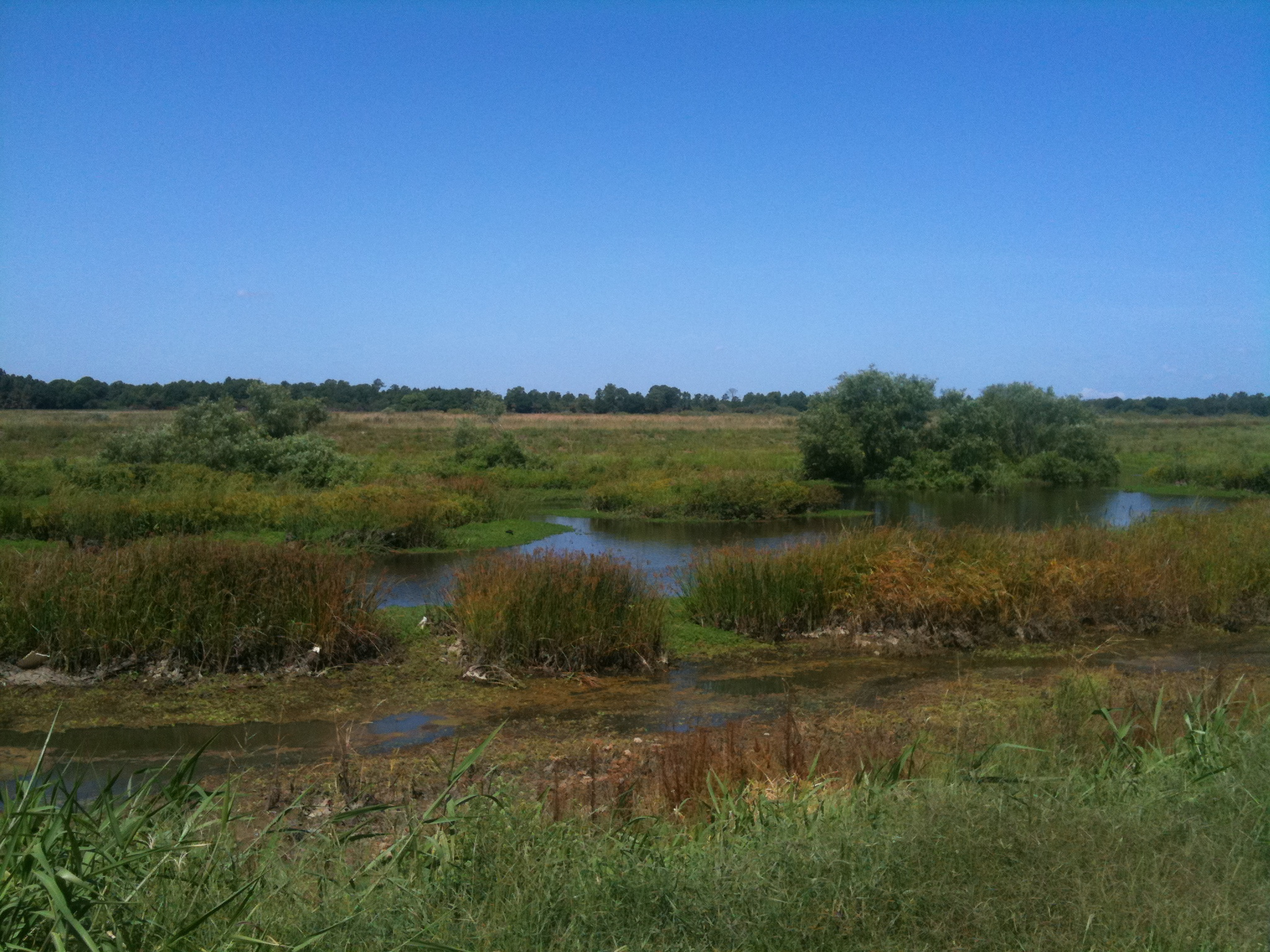
Harns Marsh

Golden Clouds from my yard

Harns Marsh Cypress Dome
Harns Marsh

Camera Roll-152

White Peacock Butterfly

Camera Roll-131
Camera Roll-161
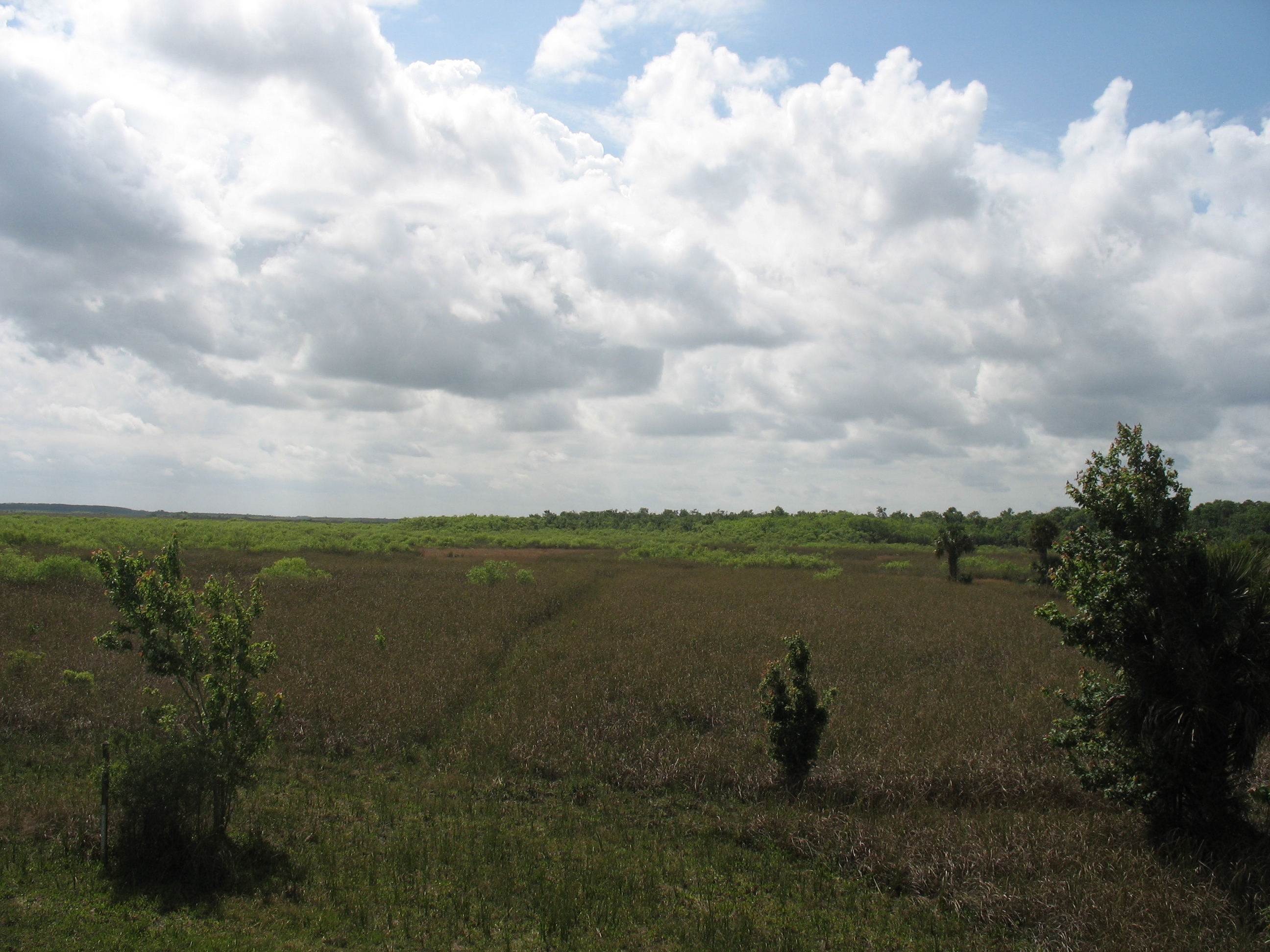
trail into corkscrew swamp sanctuary
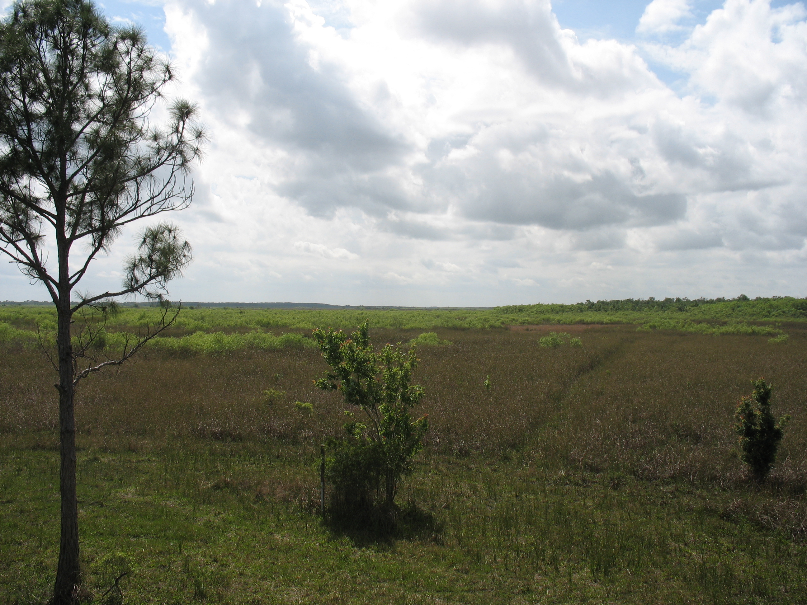
back of corkscrew swamp sanctuary
Topographic Map of Lehigh Acres, FL, USA
Find elevation by address:

Places near Lehigh Acres, FL, USA:
7605 D H Parker Rd
FL-29, Felda, FL, USA
Felda
320 G Rd
6010 Fl-29
385 Case Rd
1220 A Rd
1505 Case Rd
Sears Rd, LaBelle, FL, USA
4618 Little League Rd
1st Road
3288 Fussell-grade
2805 Case Rd
3150 Evans Rd
1114 Palm Dr
Sears Road
Sears Road
1501 6th Ave
Keri Lookout Tower
Corkscrew
Recent Searches:
- Elevation of Corso Fratelli Cairoli, 35, Macerata MC, Italy
- Elevation of Tallevast Rd, Sarasota, FL, USA
- Elevation of 4th St E, Sonoma, CA, USA
- Elevation of Black Hollow Rd, Pennsdale, PA, USA
- Elevation of Oakland Ave, Williamsport, PA, USA
- Elevation of Pedrógão Grande, Portugal
- Elevation of Klee Dr, Martinsburg, WV, USA
- Elevation of Via Roma, Pieranica CR, Italy
- Elevation of Tavkvetili Mountain, Georgia
- Elevation of Hartfords Bluff Cir, Mt Pleasant, SC, USA