Elevation of Sealevel, NC, USA
Location: United States > North Carolina > Carteret County > Sea Level >
Longitude: -76.387695
Latitude: 34.8623857
Elevation: 1m / 3feet
Barometric Pressure: 101KPa
Elevation Map:
Satellite Map:
Related Photos:
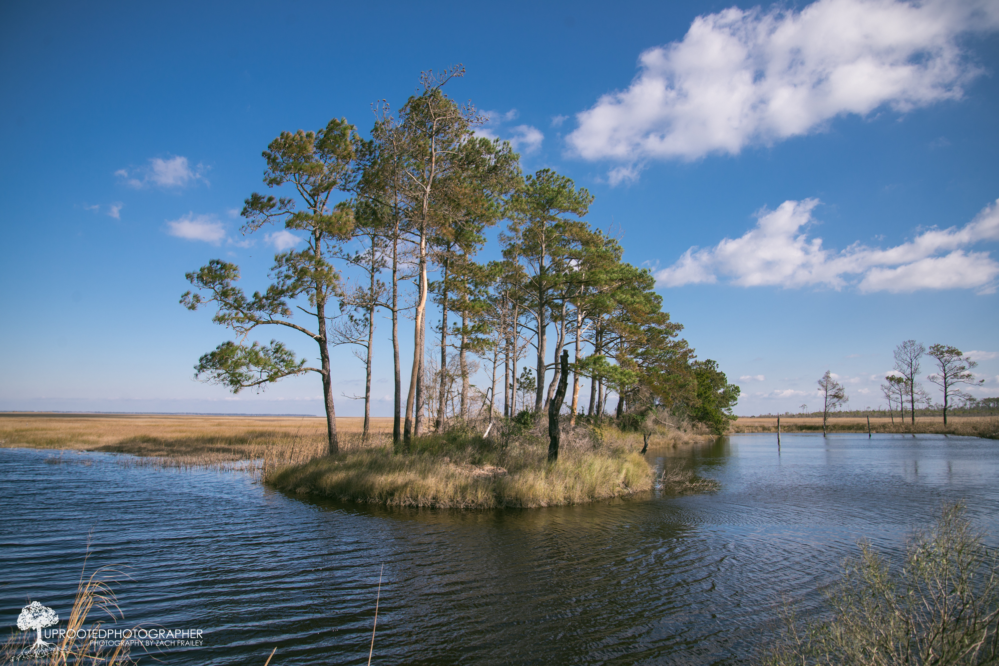
My Own Private Island
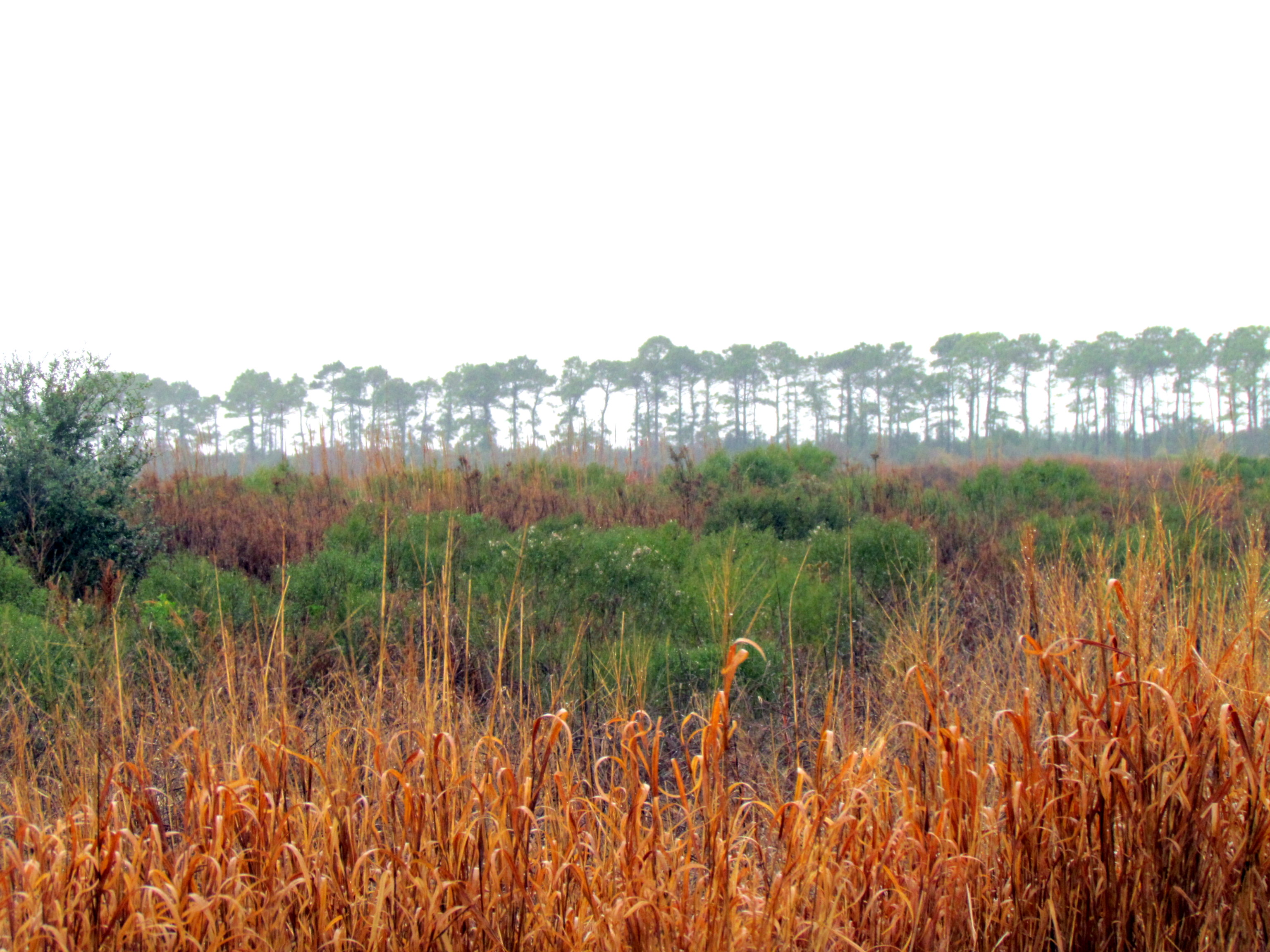
14 Cedar Island Refuge Down East NC 6309
08 Bird Hike Smyrna, NC 7349
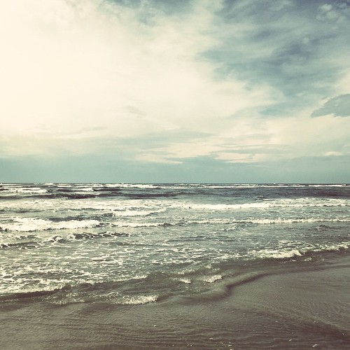
The sea is angry today
19 Bird Hike Smyrna, NC 7370

Storm getting closer
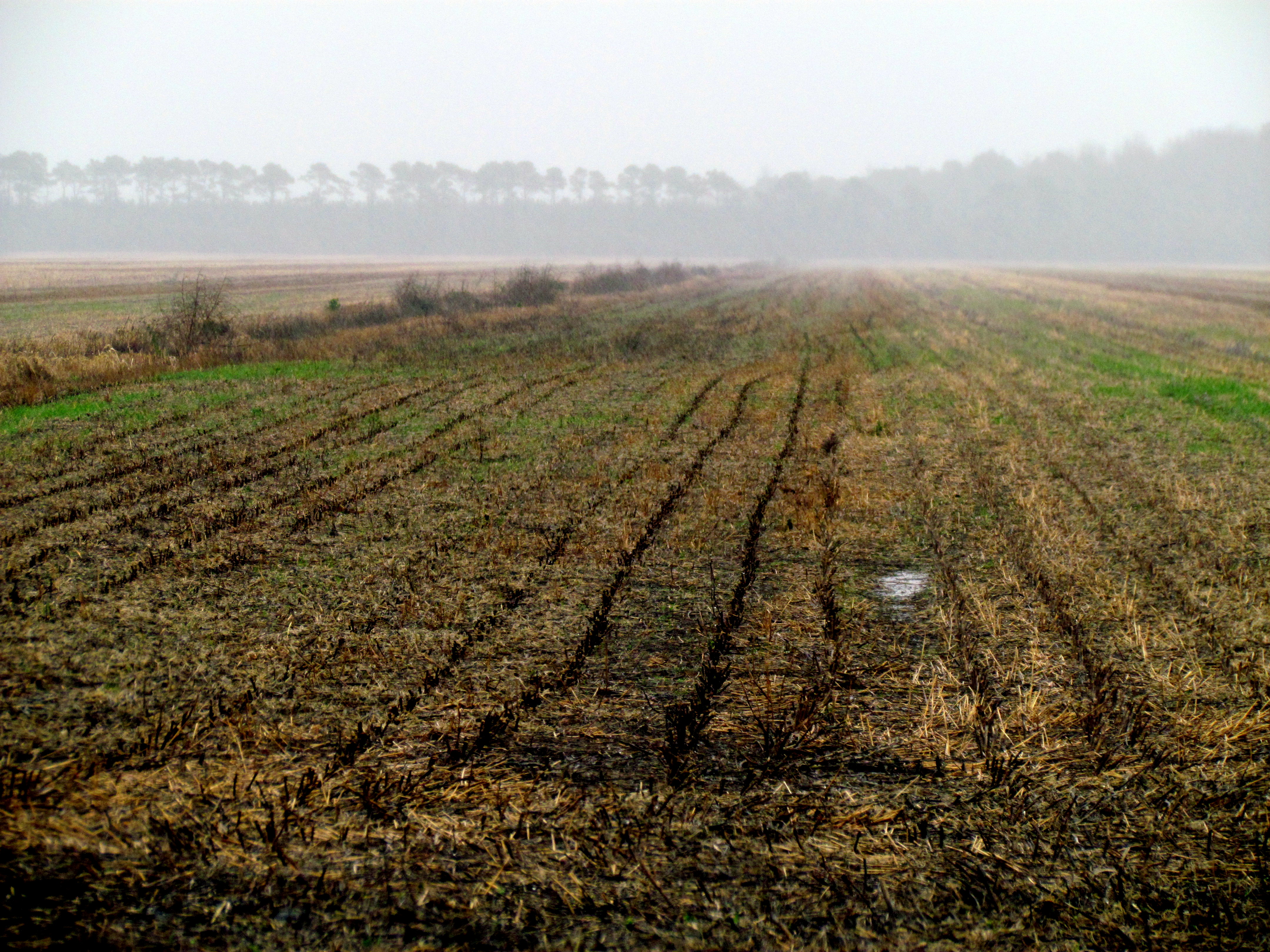
09 Bird Hike Smyrna, NC 7350

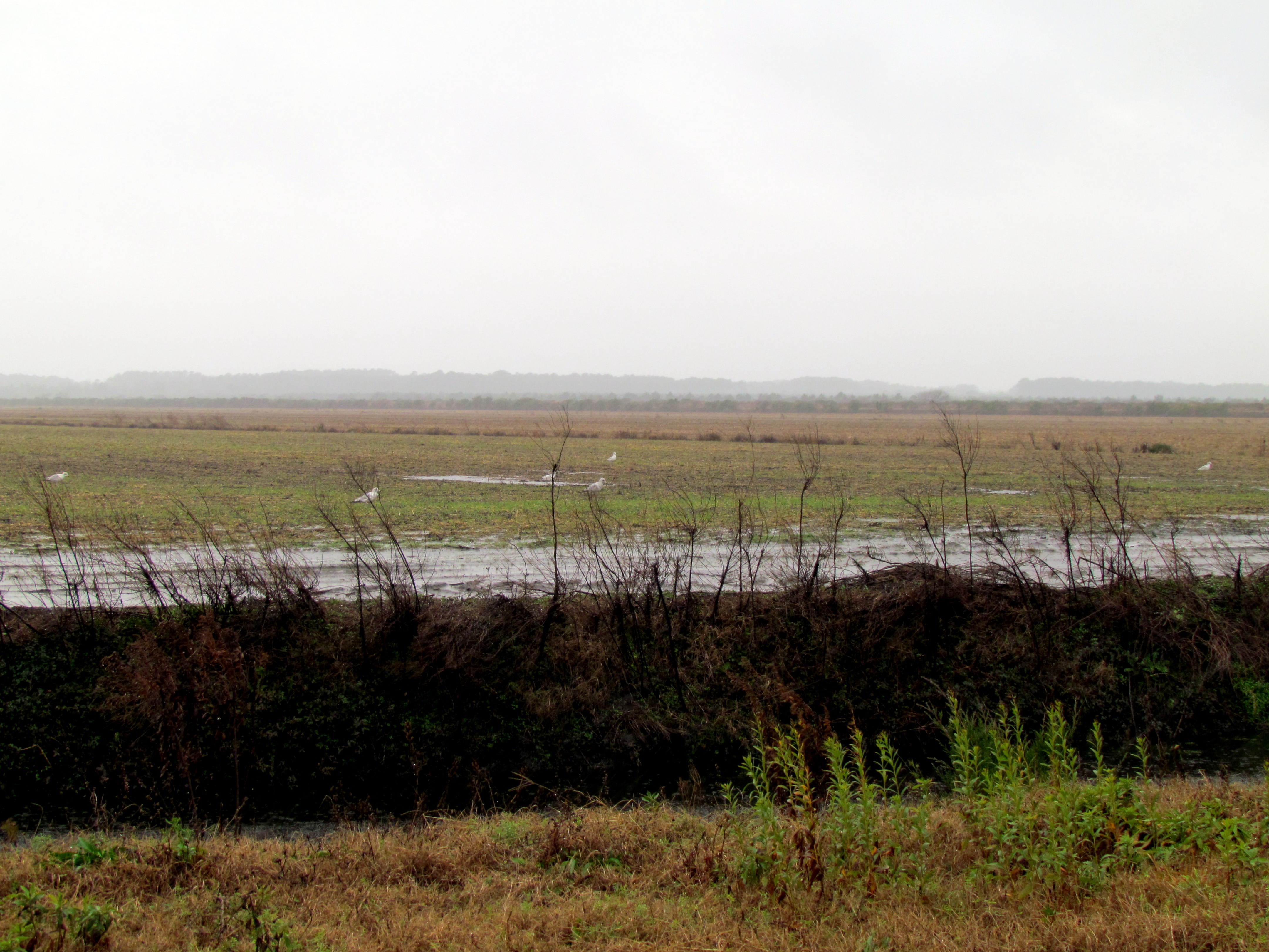
10 Bird Hike Smyrna, NC 7351
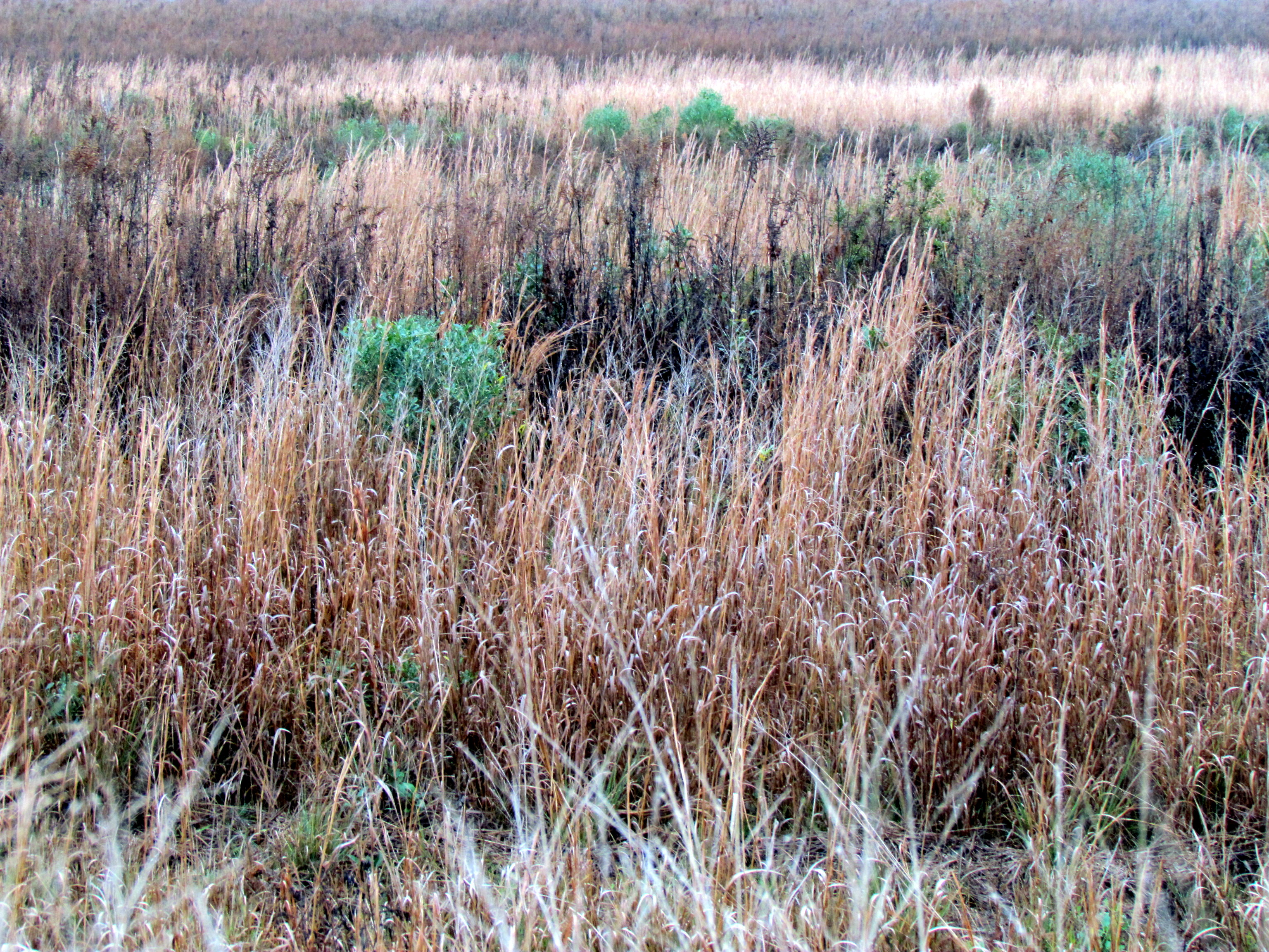
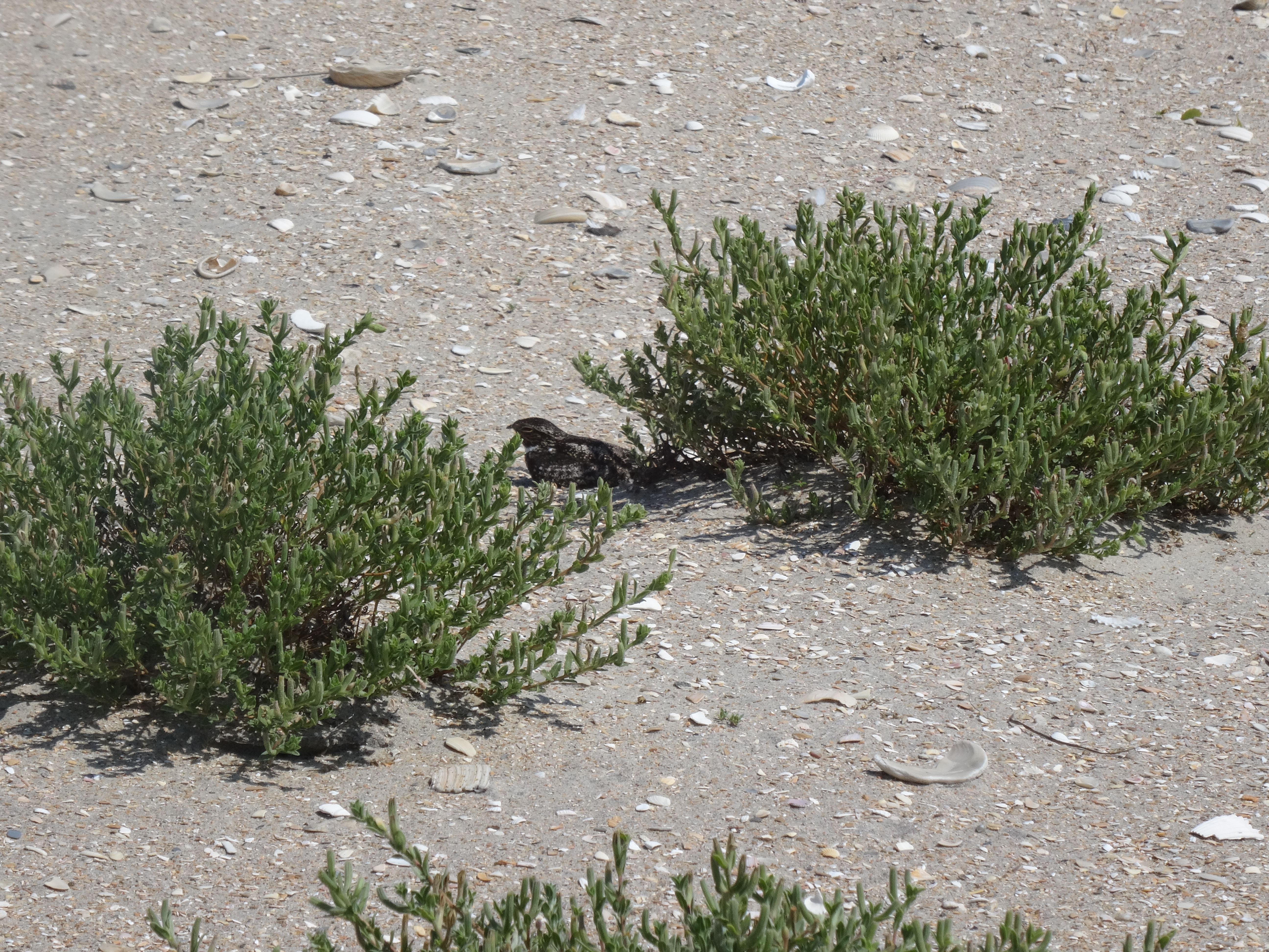
07 Bird Hike Smyrna, NC 7348
06 Bird Hike Smyrna, NC 7347
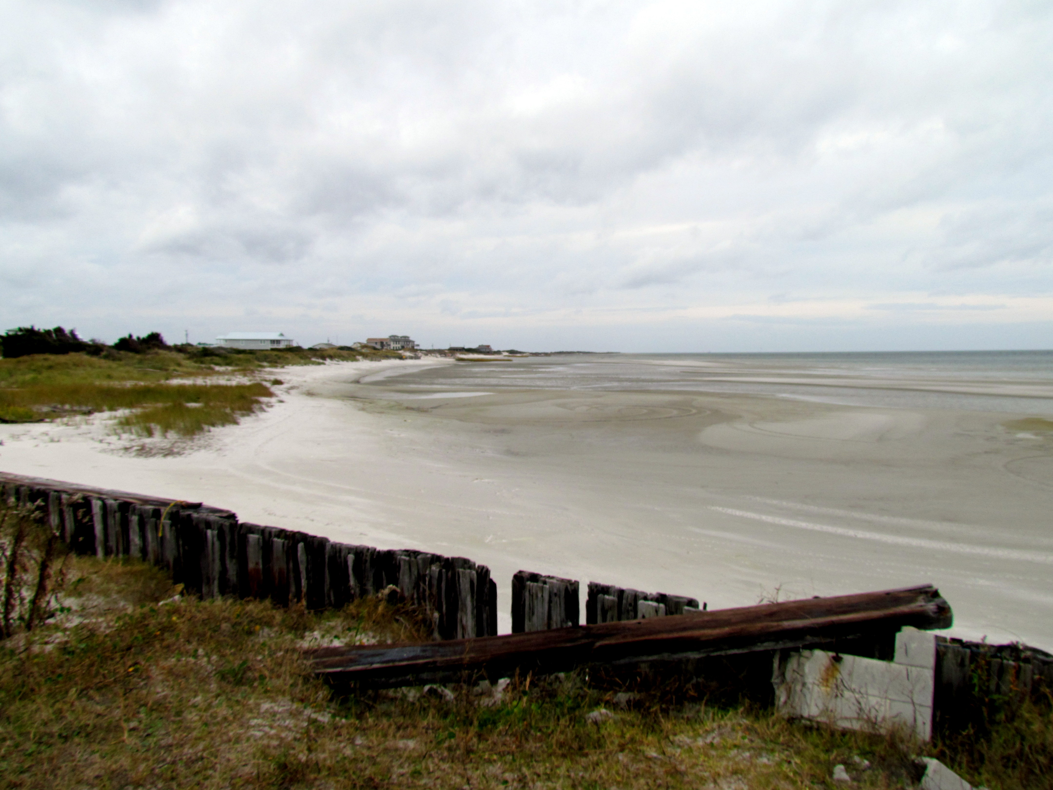
Cape Lookout NC. 2014
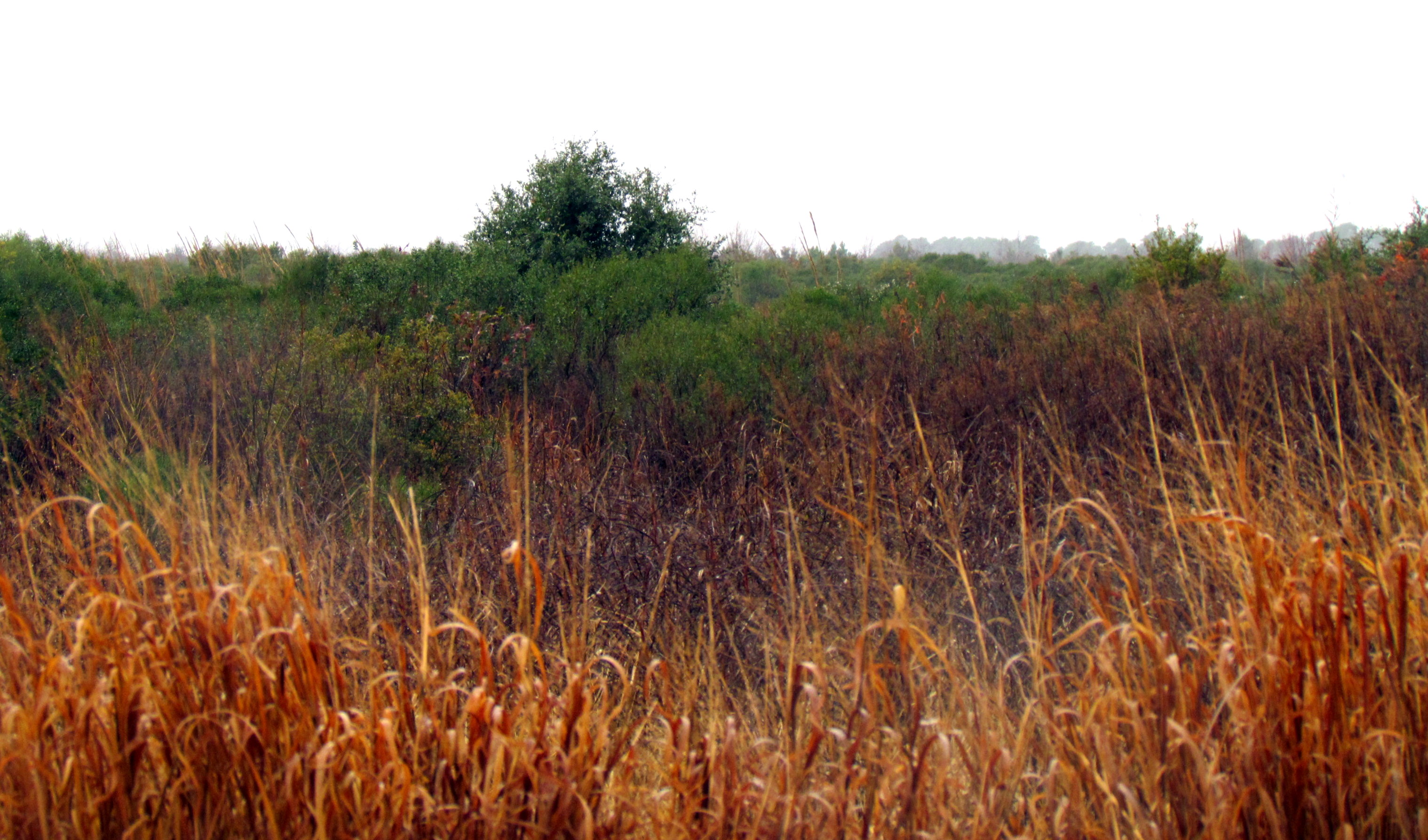
01 Bird Hike Smyrna, NC 7340

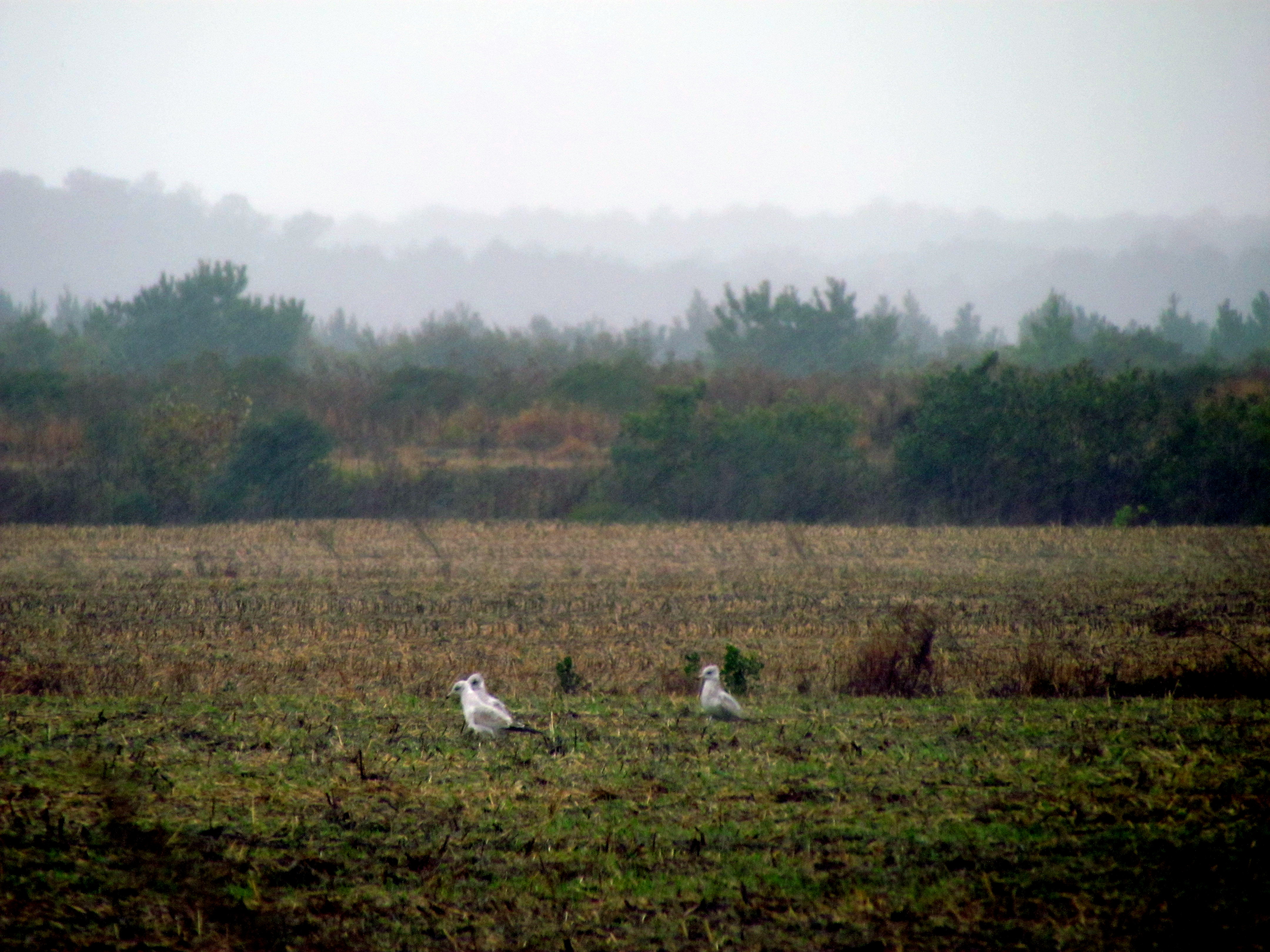
11 Bird Hike Smyrna, NC 7352

Cape Lookout NC. 2014
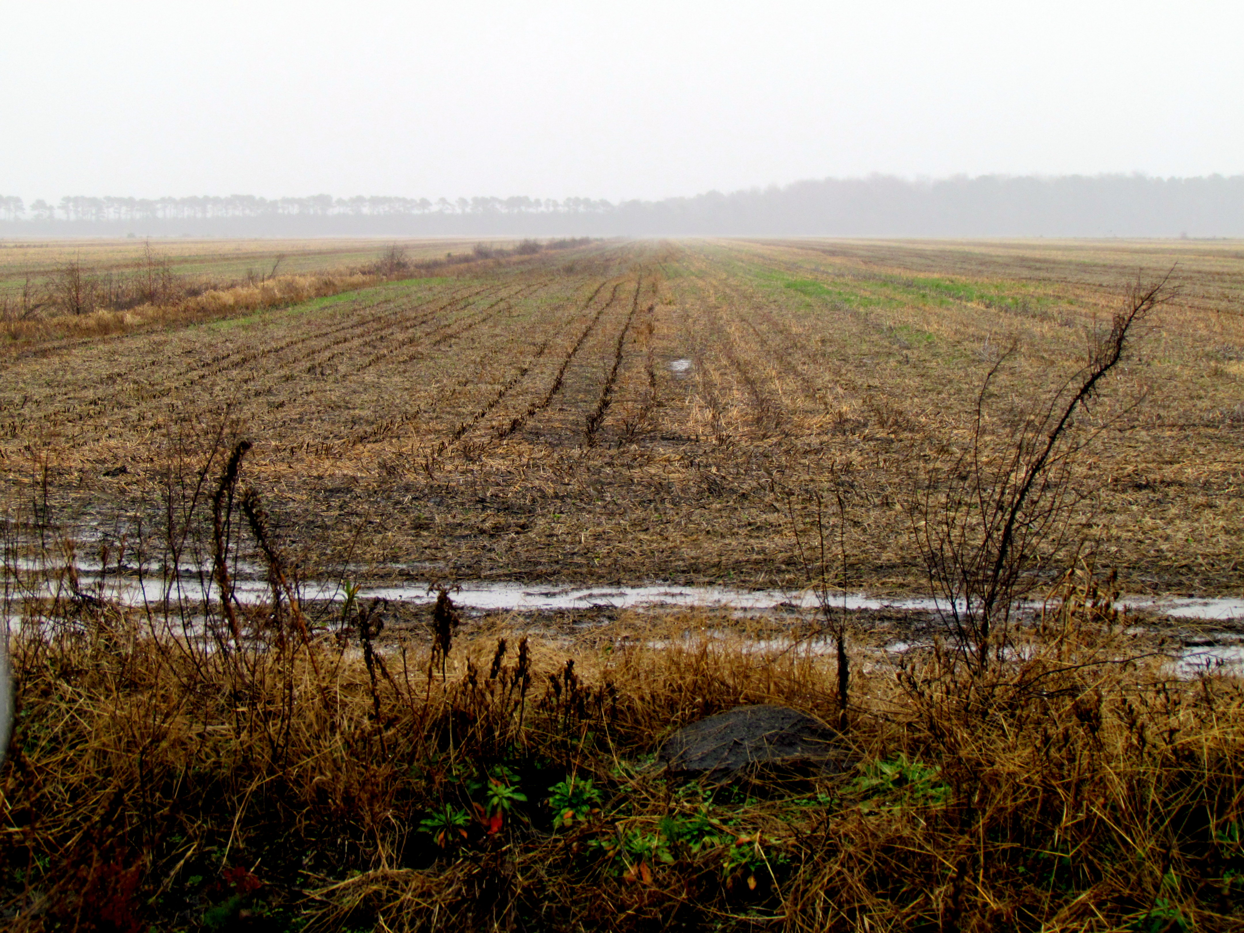
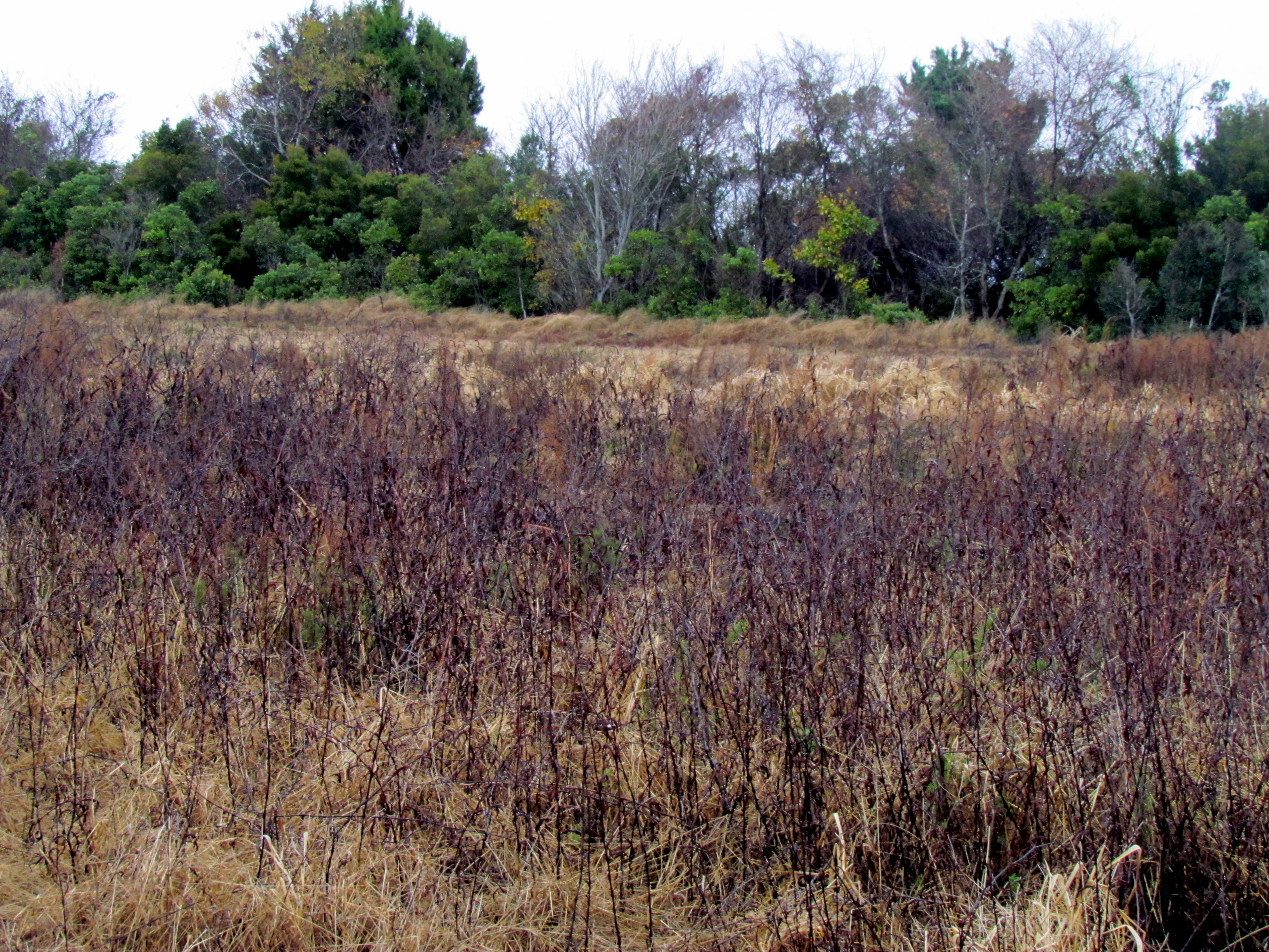
05 Bird Hike Smyrna, NC 7345
20 Bird Hike Smyrna, NC 7371

Crossing Pamlico Sound
Topographic Map of Sealevel, NC, USA
Find elevation by address:

Places in Sealevel, NC, USA:
Places near Sealevel, NC, USA:
399 Nelson Neck Rd
Nelson Neck Rd, Sealevel, NC, USA
500 Nelson Neck Rd
Shell Hill Road
346 Shell Hill Rd
604 Hwy 70 Sea Level #6
134 Seashore Dr
137 U.s. 70
Stacy
496 Seashore Dr
1209 Us-70
1168 Us-70
1197 Us-70
Seashore Drive
706 Seashore Dr
167 Stacy Loop Rd
Stacy
140 Shell Rd
170 Stacy Loop Rd
152 Stacy Loop Rd
Recent Searches:
- Elevation of Corso Fratelli Cairoli, 35, Macerata MC, Italy
- Elevation of Tallevast Rd, Sarasota, FL, USA
- Elevation of 4th St E, Sonoma, CA, USA
- Elevation of Black Hollow Rd, Pennsdale, PA, USA
- Elevation of Oakland Ave, Williamsport, PA, USA
- Elevation of Pedrógão Grande, Portugal
- Elevation of Klee Dr, Martinsburg, WV, USA
- Elevation of Via Roma, Pieranica CR, Italy
- Elevation of Tavkvetili Mountain, Georgia
- Elevation of Hartfords Bluff Cir, Mt Pleasant, SC, USA