Elevation of Sea Oats Trail, Kitty Hawk, NC, USA
Location: United States > North Carolina > Dare County > Atlantic > Kitty Hawk >
Longitude: -75.737168
Latitude: 36.1337313
Elevation: 12m / 39feet
Barometric Pressure: 101KPa
Elevation Map:
Satellite Map:
Related Photos:

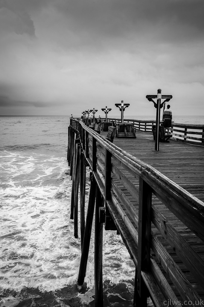
Kitty Hawk pier Sunrise

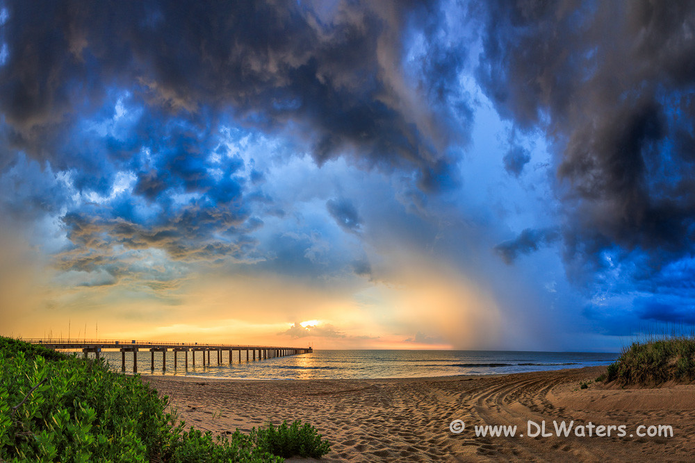
Storm is Coming
Morning Show

Have a Nice Weekend
Avalon Fishing Pier

The sky is the limit!!!! Sunset at 4000 feet high. - Southern Shores, North Carolina, USA

Albemarle Sound Abandoned Pier

Pink Sky Pier

Sandy Aftermath (1)

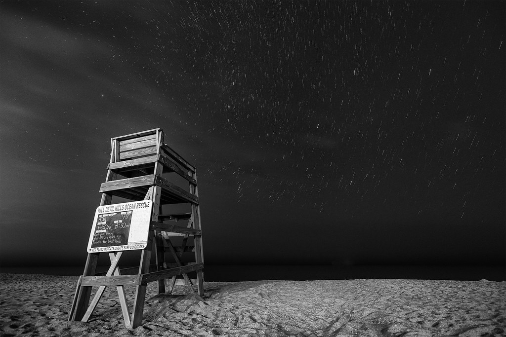
Star Trails over Kitty Hawk Pier

Sunset in Duck, NC
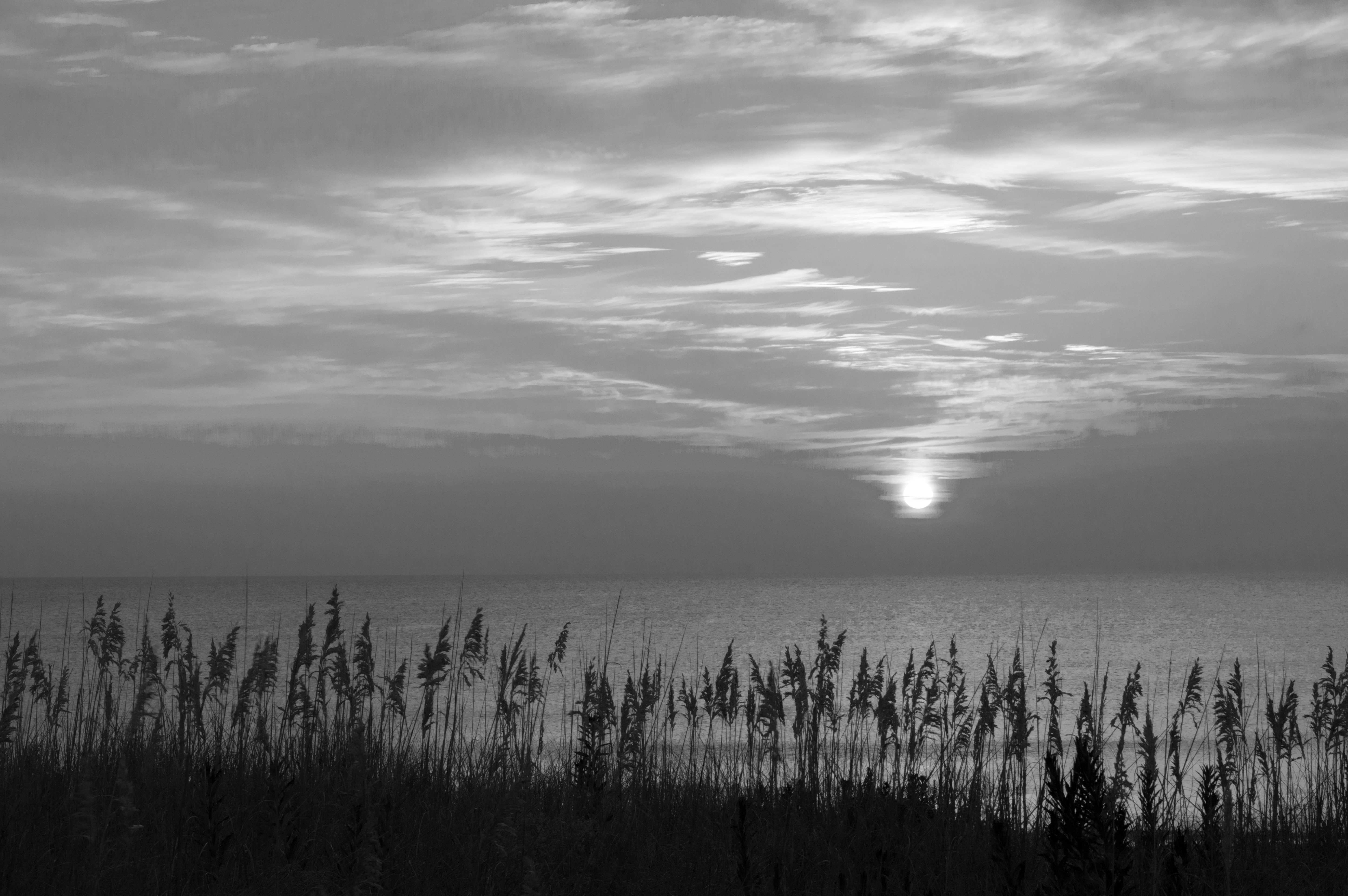
Outer Banks morning

Start of a Beautiful Day
Dreaming of Summer

Final Blast of Color

Golden Driftwood

The Tide

2007 obx0029

Cloud Pier
Kitty Hawk Pier

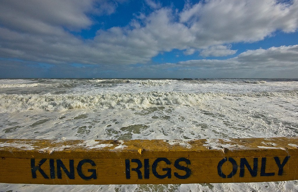
Woosh Sploosh (Part 2sh)
Topographic Map of Sea Oats Trail, Kitty Hawk, NC, USA
Find elevation by address:

Places near Sea Oats Trail, Kitty Hawk, NC, USA:
247 Sea Oats Trail
245 Wax Myrtle Trail
237 Wax Myrtle Trail
277 Sea Oats Trail
278 Hillcrest Dr
237 Woodland Dr
50 E Dogwood Trail
301 Sea Oats Trail
304 Hillcrest Dr
Southern Shores
165 Bayberry Trail
22 7th Ave
22 7th Ave
302 N Dogwood Trail
4 E Dogwood Trail
333 Hillcrest Dr
37 9th Ave #47
17 9th Ave
335 Sea Oats Trail
4 Kingfisher Trail
Recent Searches:
- Elevation of Corso Fratelli Cairoli, 35, Macerata MC, Italy
- Elevation of Tallevast Rd, Sarasota, FL, USA
- Elevation of 4th St E, Sonoma, CA, USA
- Elevation of Black Hollow Rd, Pennsdale, PA, USA
- Elevation of Oakland Ave, Williamsport, PA, USA
- Elevation of Pedrógão Grande, Portugal
- Elevation of Klee Dr, Martinsburg, WV, USA
- Elevation of Via Roma, Pieranica CR, Italy
- Elevation of Tavkvetili Mountain, Georgia
- Elevation of Hartfords Bluff Cir, Mt Pleasant, SC, USA