Elevation of Sea Gull Lake, West Cook, MN, USA
Longitude: -90.944019
Latitude: 48.1286079
Elevation: 442m / 1450feet
Barometric Pressure: 96KPa
Elevation Map:
Satellite Map:
Related Photos:

A Grand Gunflint View
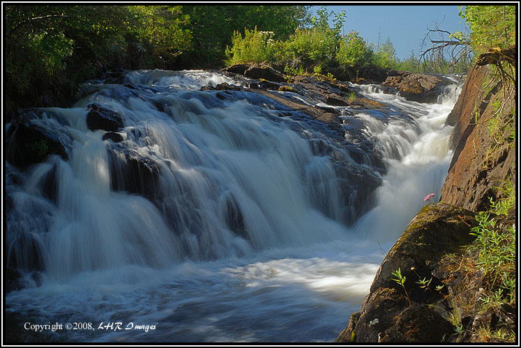
Memories of Softer Water (bw0808-01-169)

Seagull Lake

Seemingly untouched

Views from the homestead

A view you can get used to

Gunflint, Oct 23 2009, 7:42 AM

View from the lodge deck

Amoeber Lake

Gunflint Trail 20180706-DSC08162

Boundary Waters

Snow on the Seagull River; Cook County Minnesota HDR

Magnetic Rock Trail in Winter, Minnesota

Gunflint Lake Road, Minnesota

Trails End Campground in Winter, Gunflint Trail, Minnesota
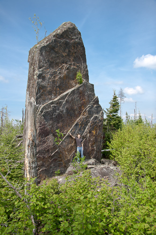
Magnetic Rock Before the Fire

Canoes Across Saganaga

Swimming in Saganaga

Tuscarora Canoe and Outfitters frontage

Paulsen Lake Sunset

bwca - seagull lake overlook

Double rainbow

Round Lake

GULL LAKE - BWCA

2011 Boundary Waters Scenery

Gull Lake - Snowy Trail's End Campground, Gunflint Trail, Minnesota

Checking out a campsite

Canoeing in a field
Topographic Map of Sea Gull Lake, West Cook, MN, USA
Find elevation by address:

Places near Sea Gull Lake, West Cook, MN, USA:
68 Moose Pond Dr
12208 Gunflint Trail
Saganaga Lake
Gunflint Lodge & Outfitters
West Cook
20 Gust Lake Rd
7890 Gunflint Trail
Eagle Mountain
Cook County
Rainy River, Unorganized
Huronian Lake
Huronian
East Cook
Recent Searches:
- Elevation of Corso Fratelli Cairoli, 35, Macerata MC, Italy
- Elevation of Tallevast Rd, Sarasota, FL, USA
- Elevation of 4th St E, Sonoma, CA, USA
- Elevation of Black Hollow Rd, Pennsdale, PA, USA
- Elevation of Oakland Ave, Williamsport, PA, USA
- Elevation of Pedrógão Grande, Portugal
- Elevation of Klee Dr, Martinsburg, WV, USA
- Elevation of Via Roma, Pieranica CR, Italy
- Elevation of Tavkvetili Mountain, Georgia
- Elevation of Hartfords Bluff Cir, Mt Pleasant, SC, USA