Elevation of Gunflint Lodge & Outfitters, S Gunflint Lake Rd, Grand Marais, MN, USA

Location: United States > Minnesota > Cook County > Grand Marais >

Longitude: -90.752237

Latitude: 48.0839258

Elevation: 481m / 1578feet

Barometric Pressure: 96KPa

Elevation Map:

elevation map of Gunflint Lodge & Outfitters, S Gunflint Lake Rd, Grand Marais, MN, USA

Satellite Map:

Satellite map of Gunflint Lodge & Outfitters, S Gunflint Lake Rd, Grand Marais, MN, USA

Related Photos:

minnesota northernminnesota loonlake loonlakelodge
Television for Dogs
minnesota northernminnesota loonlake loonlakelodge
Loon Lake View
winter copyright minnesota season photography woods josh mn grandmarais boundarywaters allrightsreserved northwoods merrill bwca gunflint gunflinttrail gunflintlake boundarywatercanoearea joshmerrillphotography
Northwoods From High Cliffs (Winter Edition)
camping lake minnesota river woods north superior gear canoe area waters cherokee wilderness canoeing portage boundary paddling campsite loaded bwca temperance
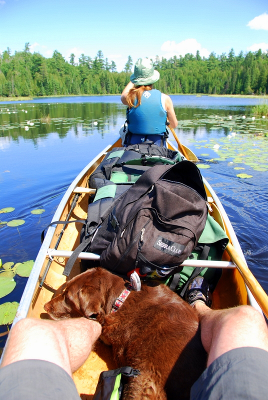
My view for the majority of the trip
minnesota gunflinttrail gunflintlake cookcounty winter ontario magneticlake whitepine
A Grand Gunflint View
laurentiandivide birchlake wingletphotography northernlights auroraborealis georgewidener stockphoto solarstorm aurora geomagnetic earth sun canon 7d storm solar georgerwidener night nighttime longexposure dark inspiration lights colors sky nature minnesota gunflinttrail remote wilderness bwca boundarywaterscanoearea boundarywaters superiornationalforest highway12 overlook
Laurentian Divide
lake minnesota seagull
Seagull Lake
2001 minnesota unitedstates grandmarais boundarywaterscanoeareawilderness tuscaroralake
Seemingly untouched
2001 minnesota unitedstates grandmarais boundarywaterscanoeareawilderness tuscaroralake
Views from the homestead
2001 minnesota unitedstates grandmarais boundarywaterscanoeareawilderness tuscaroralake jonathanlehtola
A view you can get used to
minnesota unitedstates grandmarais
View from Winchell Lake campsite
Gunflint, Oct 23 2009, 7:42 AM
gunflintlodge flickrandroidapp:filter=none
View from the lodge deck
1807xxnorthshore blue trees summer green water clouds landscape july sunny gunflintlake gunfilnttrail
Gunflint Trail 20180706-DSC08162
Boundary Waters
moon lake reflection water minnesota forest moonlight canoeing boundarywaters bwca bwcaw winchelllake
Winchell Lake Moonlight
travel minnesota bwca joshlueck chrisomtvedt paulolson willbaumann callueck curtreese
Chillin around camp
borderroutetrail gunflinttrail magneticrocktrail minnesota northernminnesota superiornationalforest summer trees grandmarais unitedstates us
Magnetic Rock (Border Route) Trail, Superior National Forest, Minnesota
autumn trees fall minnesota us unitedstates fallcolors autumncolors grandmarais boundarywaters northernminnesota firedamage bwcaw gunflinttrail
Gunflint Trail, Northern Minnesota
camping sky nature water minnesota canon lunch island north wide lakes wideangle wilderness canoeing polarizer boundarywaters 1022 northwoods bwca cherokeelake canon1022 june2011 summer2011
Boundary Waters - Island Lunch Break
winter blackandwhite snow ice nature water minnesota landscapes
Snow on the Seagull River; Cook County Minnesota HDR
camping sky nature water minnesota canon lunch island north wide lakes wideangle wilderness canoeing polarizer boundarywaters 1022 northwoods bwca cherokeelake canon1022 june2011 summer2011
Boundary Waters - Island Lunch Break
gunflinttrail roundlake sunset bwca boundarywaterscanoeareawilderness tuscaroralodge sky landscape lake
Tuscarora Canoe and Outfitters frontage
canoe sunset paulsenlake lake boundarywaters minnesota paddle orange purple reflection geotagged geolat48099966 geolon90911930 jul05bwc
Paulsen Lake Sunset
gunflinttrail
Round Lake
brt borderroutetrail gunflinttrail magneticrocktrail minnesota northernminnesota superiornationalforest forest hiking trees winter winterhike
Magnetic Rock Trail in Winter, Minnesota
lake seagull bwca
bwca - seagull lake overlook
lake ontario canada water minnesota forest canon fire rainbow united border double burn waters states boundary gunflint xti
Double rainbow
gull gunflinttrail bwca2010
GULL LAKE - BWCA
boundarywaters oac outdooradventurecenter
2011 Boundary Waters Scenery
gunflintlakeroad gunflinttrail minnesota northernminnesota dirtroad gravelroad grandmarais unitedstates us
Gunflint Lake Road, Minnesota
trip travel camping sunset camp vacation reflection fall jeff water minnesota landscape nikon midwest sundown zoom beth lakes paddle wideangle canoe september northshore canoes mirrored krista canoeing nikkor paddling arrowhead mn hdr highdynamicrange grandmarais campsite boundarywaters hdri 43 2012 northernminnesota bwca 1024 10mm bwcaw d90 winchell boundarywaterscanoearea boundarywaterscanoeareawilderness winchelllake nikond90 1024mm entry43 nikkor1024mm nikon1024mm nikkor1024mmf3545g nikon1024mmf3545g jasonhedlund
Winchell Lake Sunset Canoes
gulllake gunflinttrail minnesota northernminnesota superiornationalforest trailsend trailsendcampground snow trees winter grandmarais unitedstates us
Gull Lake - Snowy Trail's End Campground, Gunflint Trail, Minnesota