Elevation of SE th Ave, Ocklawaha, FL, USA
Location: United States > Florida > Marion County > Ocklawaha >
Longitude: -81.829976
Latitude: 29.085626
Elevation: 19m / 62feet
Barometric Pressure: 101KPa
Elevation Map:
Satellite Map:
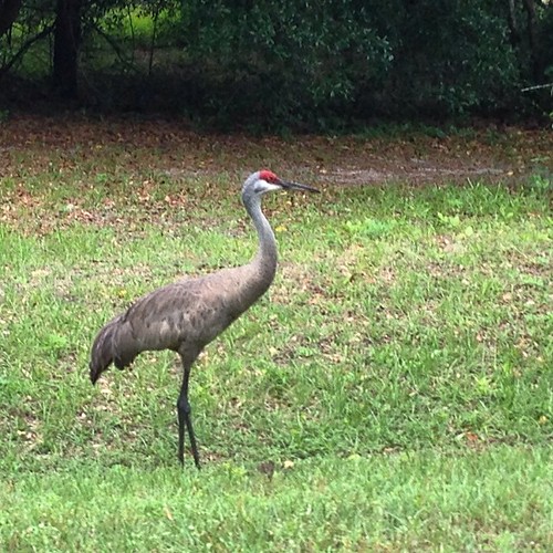
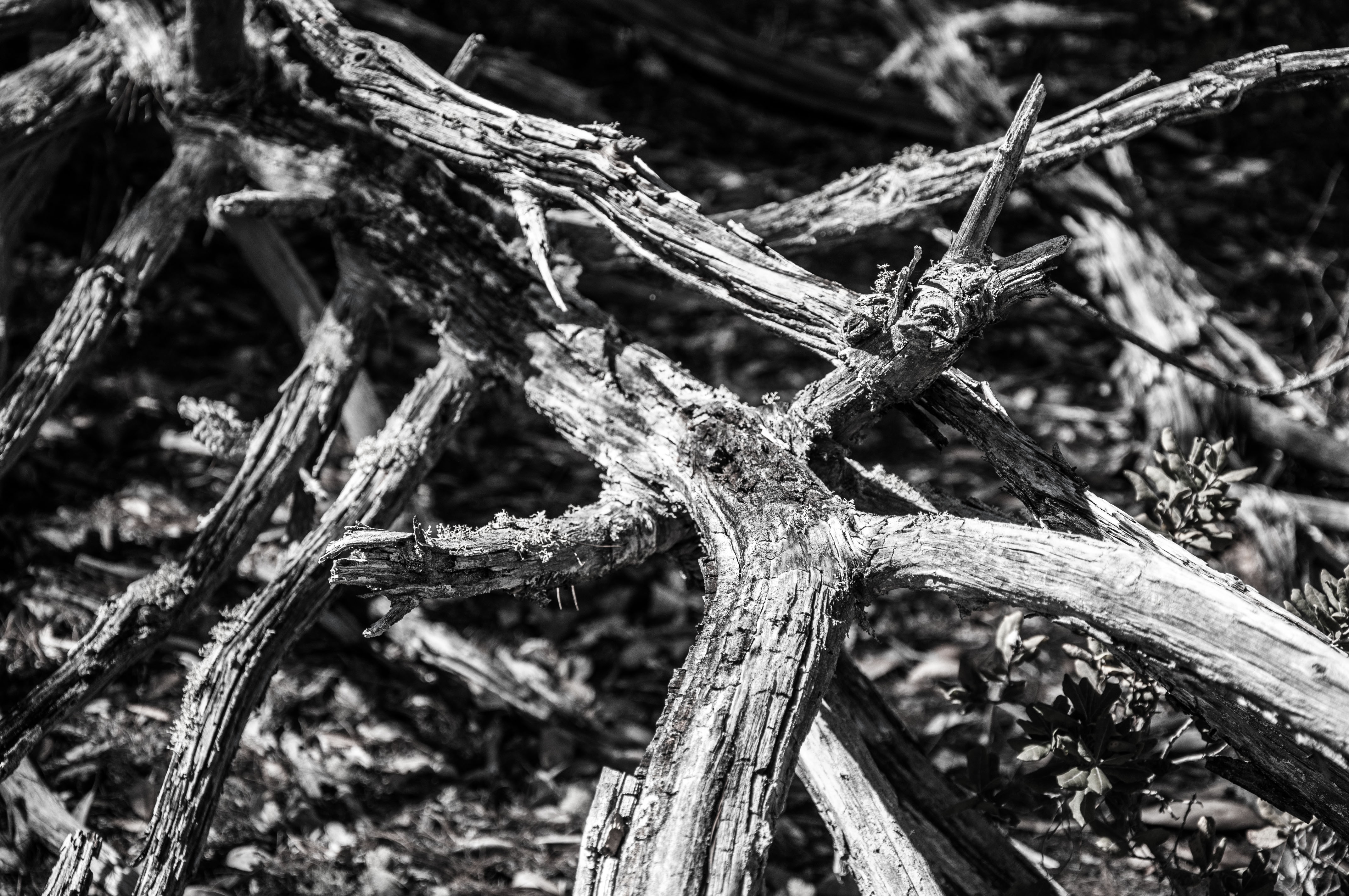
Related Photos:
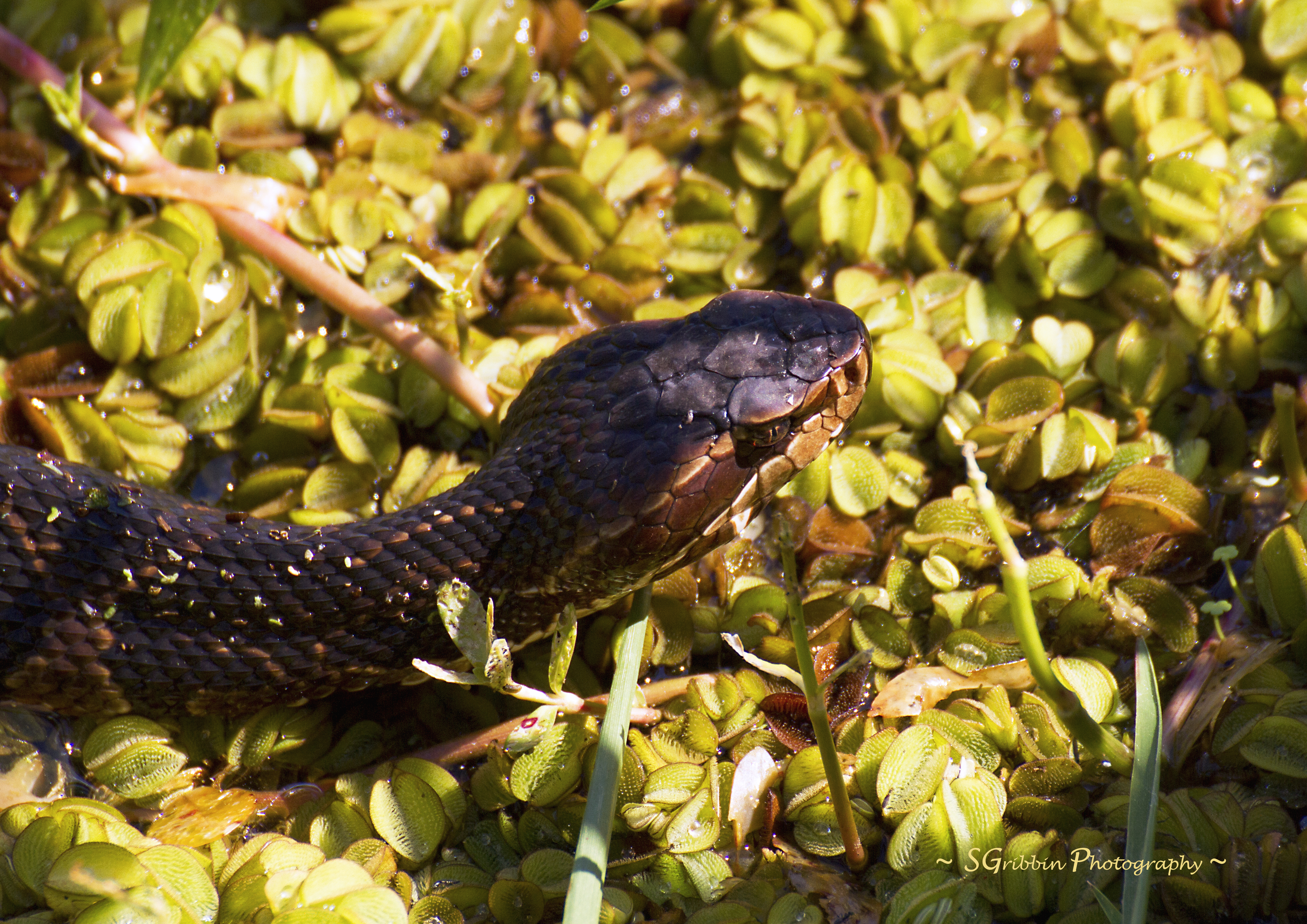
Deadly Bite!

My Hammock
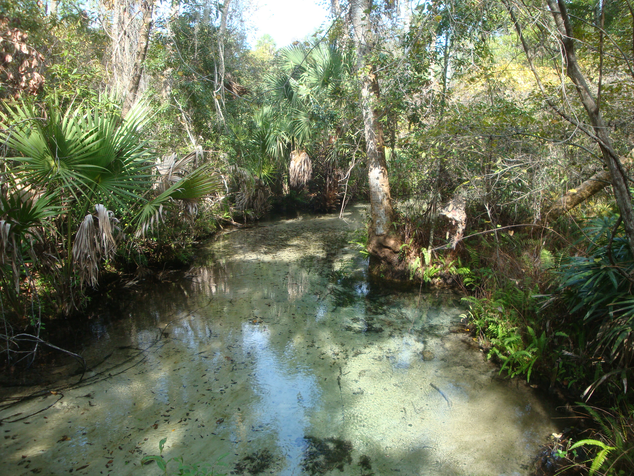
Juniper Springs run along boardwalk from Overlook
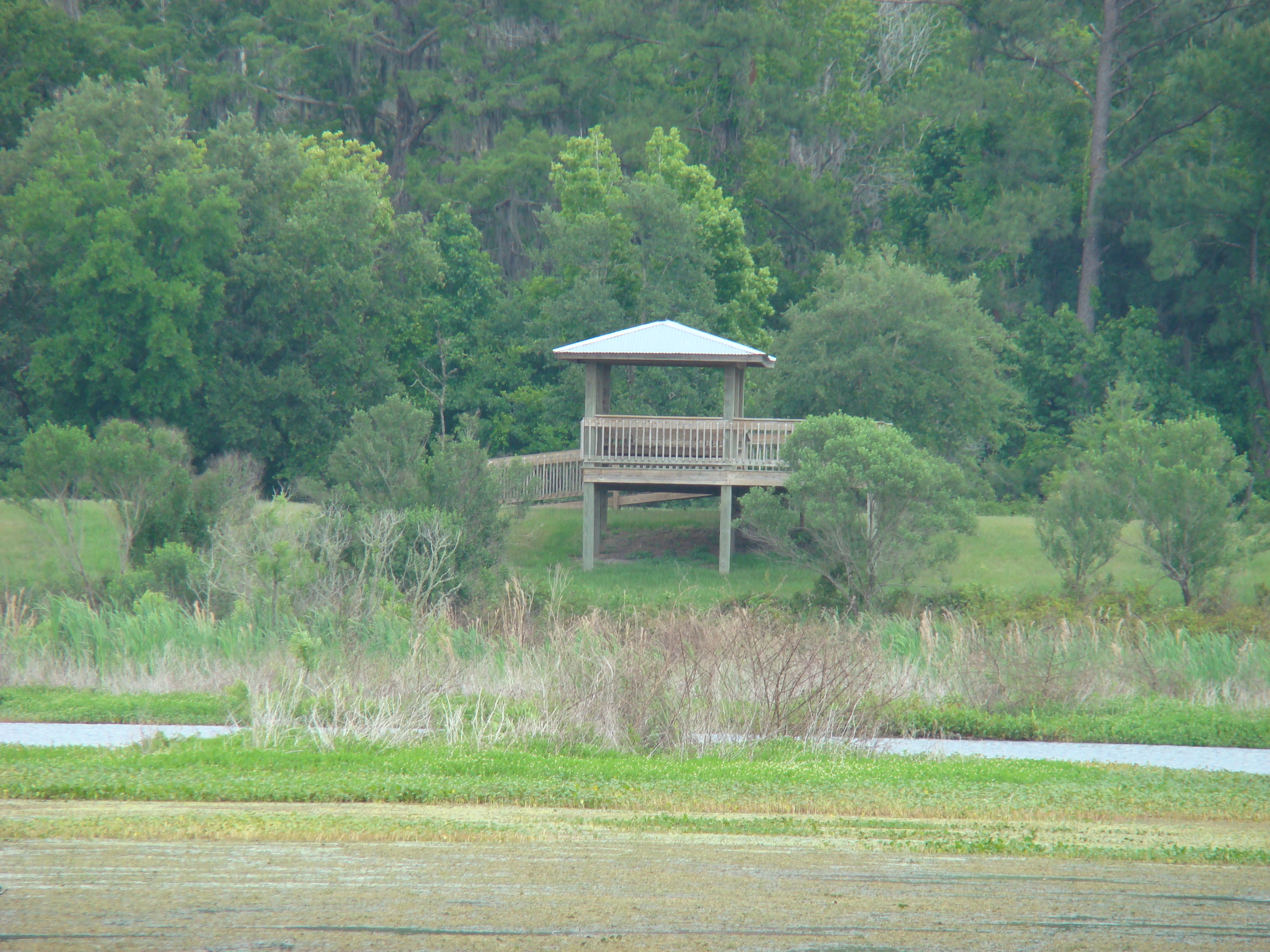
Viewing tower
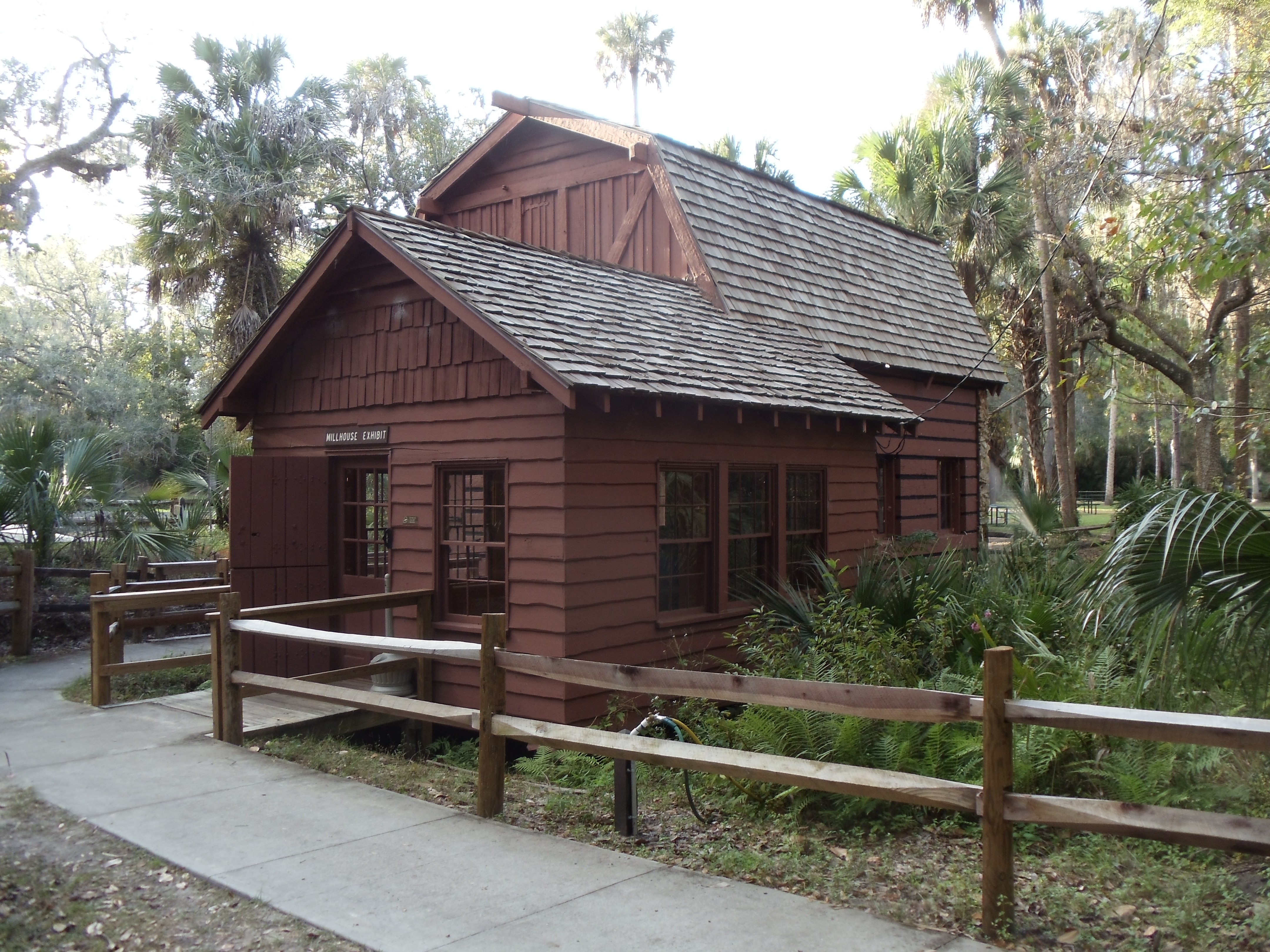
Millhouse Restoration Side View

Pier extends over marsh

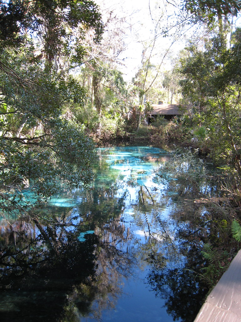
View of the Large Vent
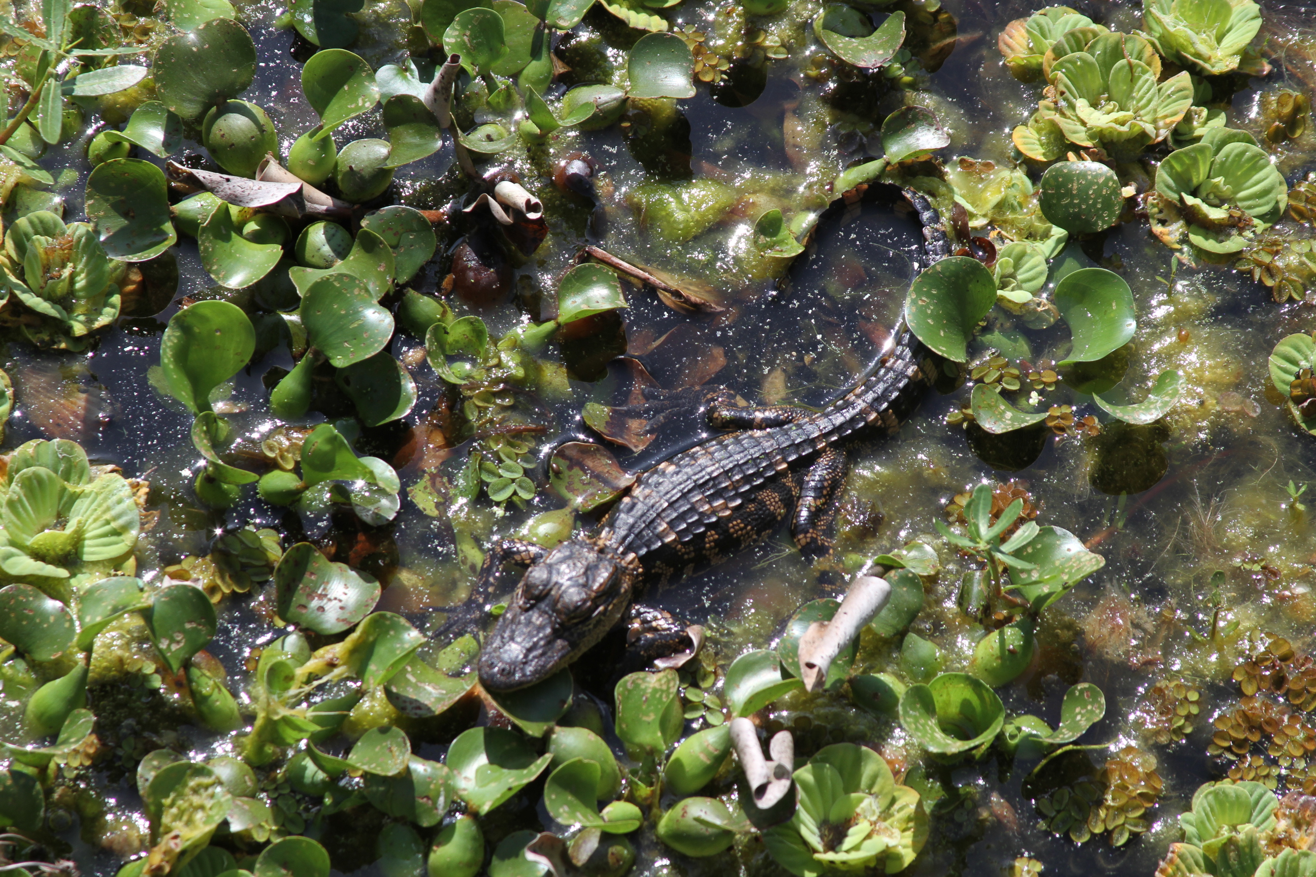
Baby alligator - about 1 foot long - best viewed large

Project 365- 50-365
Great outdoors facilities, COPE, Alpine tower, pool and more... Including great views and birds. #2015worldscoutjamboree #outdoorslearningadventures
DSC_0202.jpg
Thursday vibes.
Good morning from Lake Weir. #ocala #lakeweir
DSC_0440.jpg

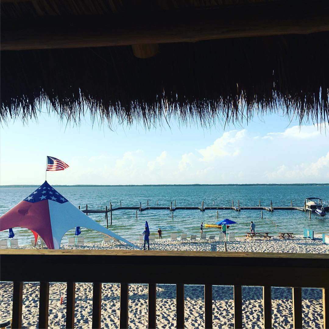
The Watering Hole
DSC_0438.jpg
DSC_0226.jpg
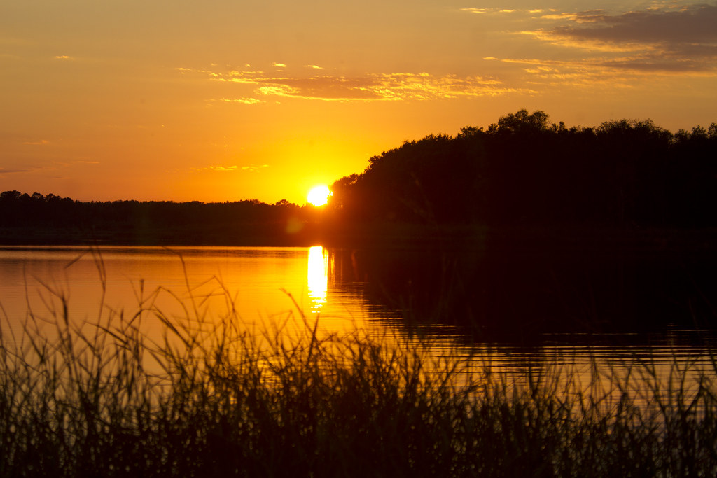
Half Moon Lake Sunset 2
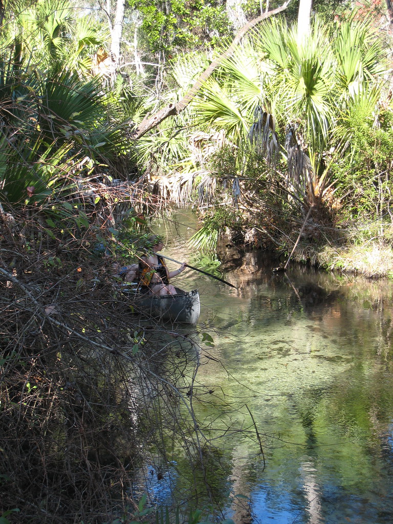
Walking the trails
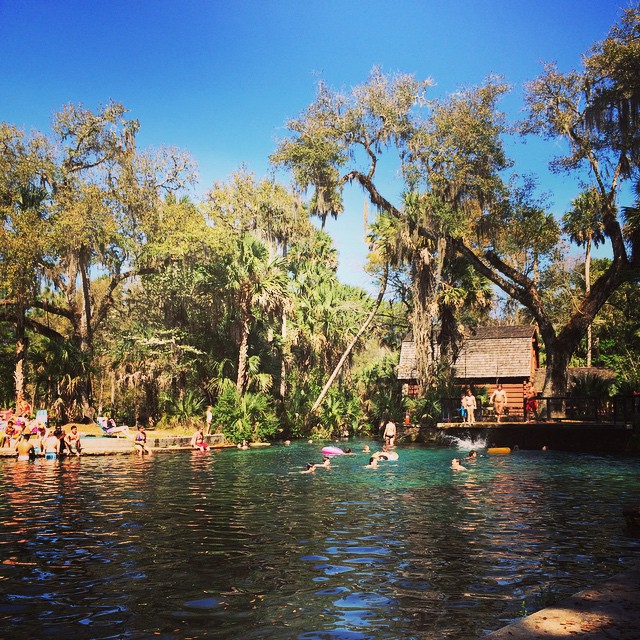
#iloveFL #florida #junipersprings #ocala #ocalanationalforest #spring #usa
Walking the Trails
Walking the Trails

Lake Weir #florida #grey #gray #rain #blackandwhite #jj #minimal #ig #igers #landscape #land #air #water #iphonesia
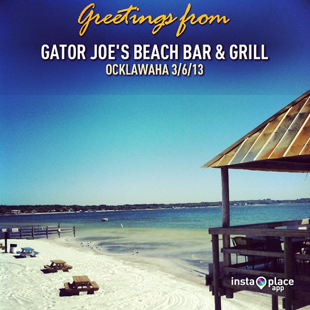
Friends in town. Eating on the lake. #lakeweir #ocala #instaplace #instaplaceapp #instagood #travelgram #photooftheday #instamood #picoftheday #instadaily #photo #instacool #instapic #picture #pic @instaplaceapp #place #earth #world #unitedstates #ocklaw

Marshall Swamp 19 Feb 2015 1

Surface Tension

Sand Pine Forest, Ocala NF
Moss Bluff 07
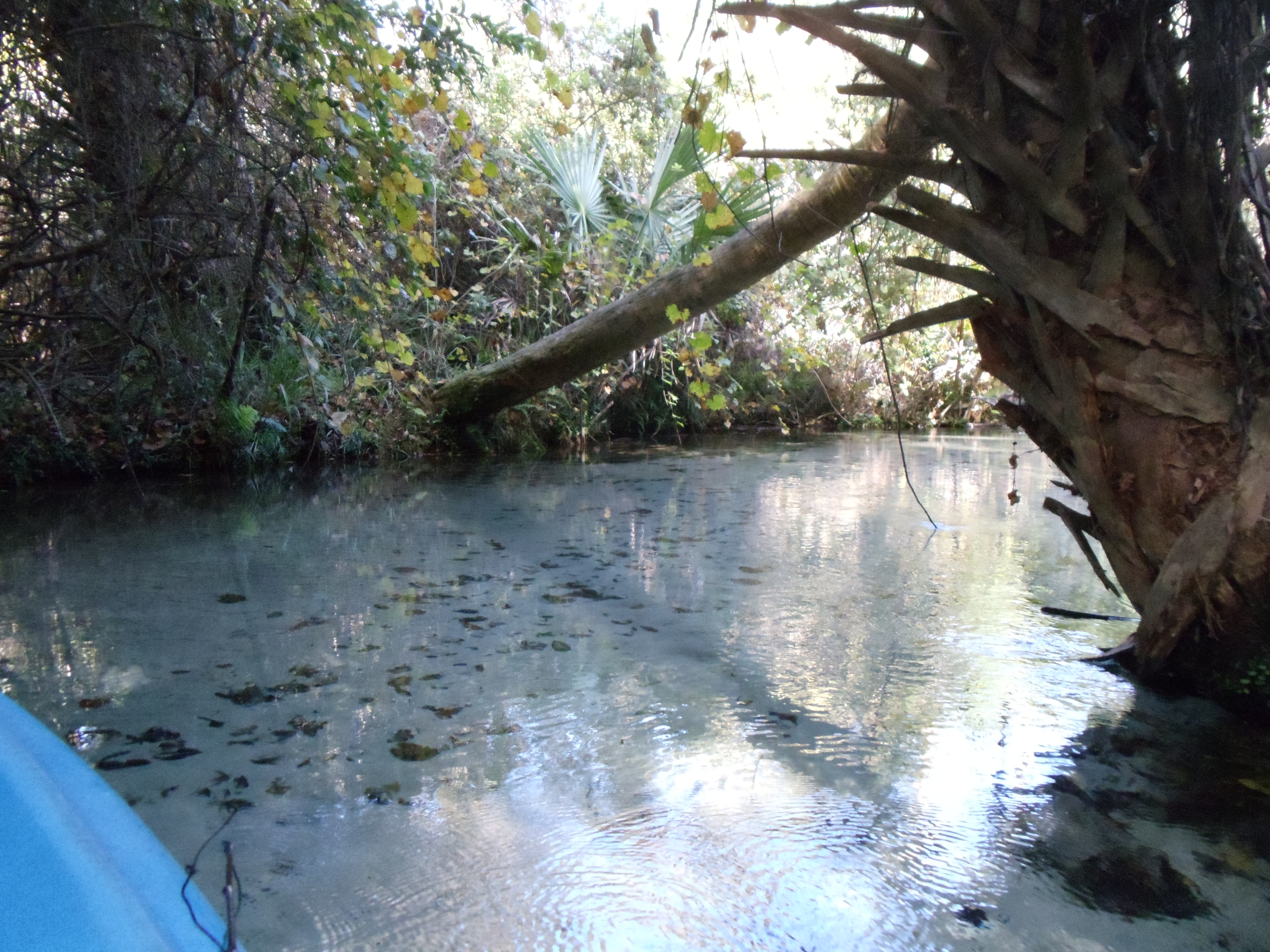
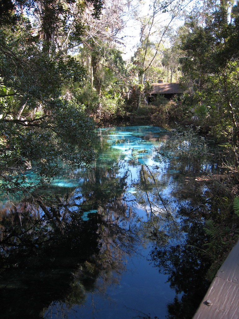
Clear Springs Water Flows over Sandy Bottom

Carney Island - Florida

Gulf Fritillary
Topographic Map of SE th Ave, Ocklawaha, FL, USA
Find elevation by address:

Places near SE th Ave, Ocklawaha, FL, USA:
19651 Se 92nd Pl
19651 Se 92nd Pl
9286 Se 193rd Ave
SE 95th Street Rd, Ocklawaha, FL, USA
18115 Se 95th Street Rd
9487 Se 177th Ct
State Highway 314a
17010 Se 95th Street Rd
5960 Se 183rd Ct
Doe Lake Campground - Ocala National Forest
18931 Se 54th Pl
Sequoia Loop Drive
Oklawaha and Moss Bluff Hwy, Ocklawaha, FL, USA
6490 Se 168th Ct
11921 Se 169th Avenue Rd
SE th Ave, Ocklawaha, FL, USA
Fisher Way Trail, Ocklawaha, FL, USA
16656 Se 49th Street Rd
11950 Se 58th Pl
3300 Se 183rd Avenue Rd
Recent Searches:
- Elevation of Corso Fratelli Cairoli, 35, Macerata MC, Italy
- Elevation of Tallevast Rd, Sarasota, FL, USA
- Elevation of 4th St E, Sonoma, CA, USA
- Elevation of Black Hollow Rd, Pennsdale, PA, USA
- Elevation of Oakland Ave, Williamsport, PA, USA
- Elevation of Pedrógão Grande, Portugal
- Elevation of Klee Dr, Martinsburg, WV, USA
- Elevation of Via Roma, Pieranica CR, Italy
- Elevation of Tavkvetili Mountain, Georgia
- Elevation of Hartfords Bluff Cir, Mt Pleasant, SC, USA