Elevation of SE 95th Street Rd, Ocklawaha, FL, USA

Location: United States > Florida > Marion County > Ocklawaha >

Longitude: -81.86987

Latitude: 29.079699

Elevation: 22m / 72feet

Barometric Pressure: 101KPa

Elevation Map:

elevation map of SE 95th Street Rd, Ocklawaha, FL, USA

Satellite Map:

Satellite map of SE 95th Street Rd, Ocklawaha, FL, USA

Related Photos:

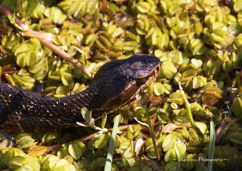
wild nature danger canon outdoors florida reptile snake wildlife deadly venomous venom watermoccasin cottonmouth venomoussnake ocklawahaprairie
Deadly Bite!
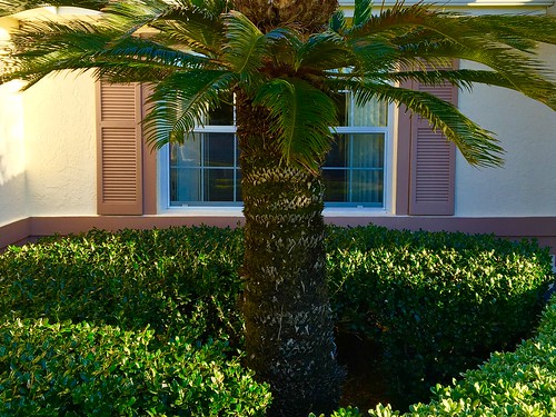
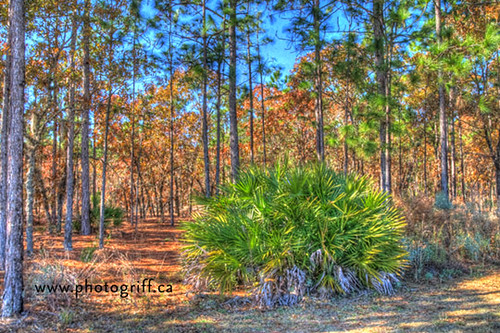
Palm view
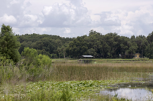
park lake nature water canon outdoors florida wildlife ocala marioncounty lakeweir willoughbypark tamronaf70300mmf4056spdivcusdxld
Lakeshore View
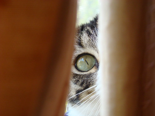
animal cat sonydsch7
Cat's eye view
florida swamp restoration marsh waterfowl scrub riverine wetprairie stjohnsriverwatermanagementdistrict ocklawahaprairie
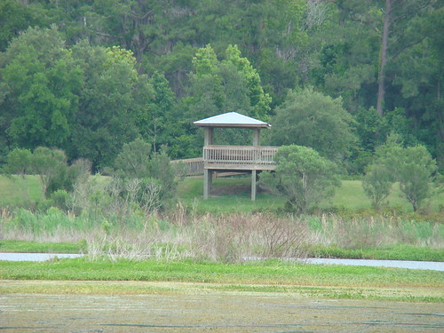
Viewing tower
swamp restoration marsh waterfowl scrub riverine wetprairie stjohnsriverwatermanagementdistrict ocklawahaprairie
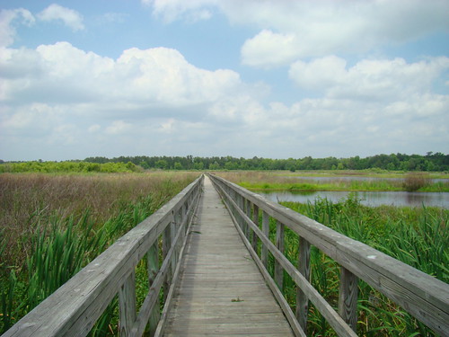
Pier extends over marsh
horse museum wagon carriage florida dogcatcher goldstaraward topazadjust
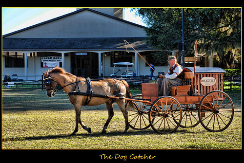
The Dog Catcher
baby water reptile alligator ocklawahaprairie
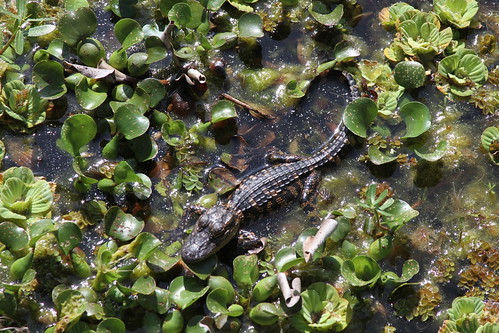
Baby alligator - about 1 foot long - best viewed large
sign museum fl
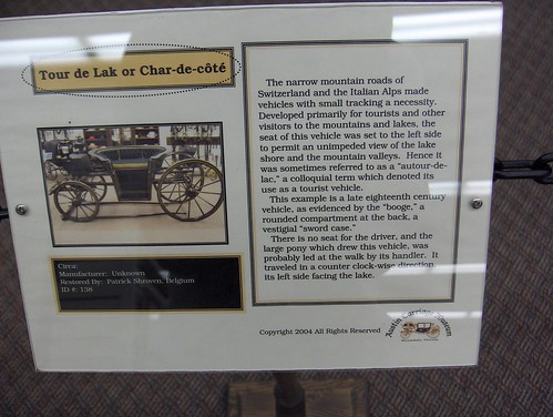
267 Tour de Lak Img_1707
Project 365- 50-365
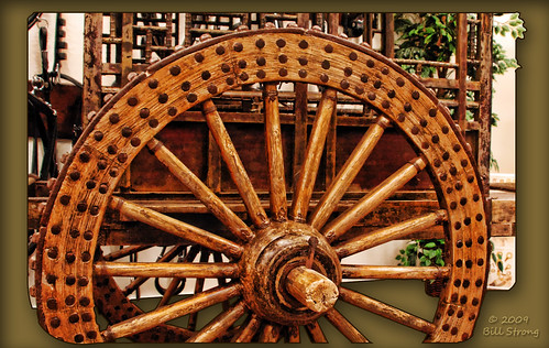
wheel wagon florida topaz topazadjust floridacarriagemuseum
Wagon wheel
square squareformat iphoneography instagramapp uploaded:by=instagram
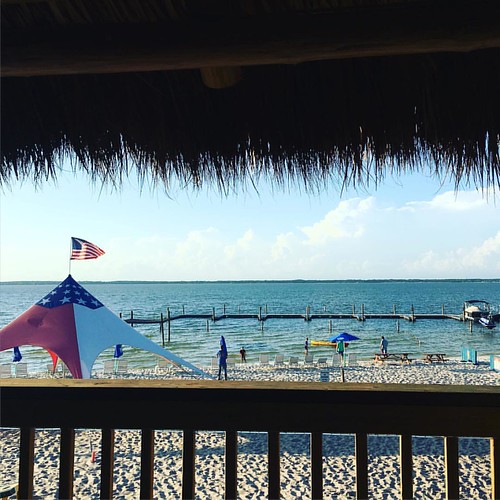
#tbt to last week at Lake Weir and a beautiful sunset. Ps guys did you know you can now post non-square pictures on IG? So cool!!
square squareformat clarendon iphoneography instagramapp uploaded:by=instagram
Thursday vibes.
teamgo floridachristmas2010
Fla-6264_3_2_tonemapped
DSC_0438.jpg
square squareformat iphoneography instagramapp xproii uploaded:by=instagram foursquare:venue=4bf6e9b55317a5933414fd7e
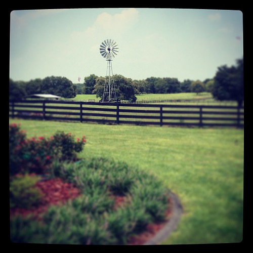
Certified Angus Beef ranch, outside Ocala
lake fall nature water yellow canon landscape outdoors pond flora prairie t3 mygearandme ocklawahaprairie
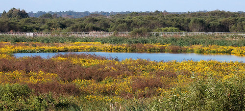
The Watering Hole
DSC_0226.jpg
square squareformat iphoneography instagramapp uploaded:by=instagram foursquare:venue=4b789248f964a52091d72ee3
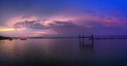
Lake Weir #florida #grey #gray #rain #blackandwhite #jj #minimal #ig #igers #landscape #land #air #water #iphonesia
Half Moon Lake Sunset 2
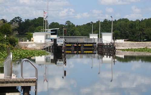
lake reflection water america canon river landscape moss fishing greg florida lock dam shoreline powershot g5 american shore canong5 fl bluff ocala centralflorida gkirk “great asnapshotcom asnapshot “g “central fishing” florida” bluff” “moss kirk”
Moss Bluff 09
Marshall Swamp 19 Feb 2015 1
DSCN1383_19400 Southeast Highway 42, Umatilla, FL 32784, USA
uploaded:by=flickrmobile flickriosapp:filter=nofilter
The Road Home
lake reflection water america canon river landscape moss fishing greg florida lock dam shoreline powershot g5 american shore canong5 fl bluff ocala centralflorida gkirk “great asnapshotcom asnapshot “g “central fishing” florida” bluff” “moss kirk”
Moss Bluff 10
orange white black insect wetlands silvery wildflower nonnative gulffritillary agraulisvanillae brazilianvervain verbenabrasiliensis passionbutterfly ocklawahaprairie
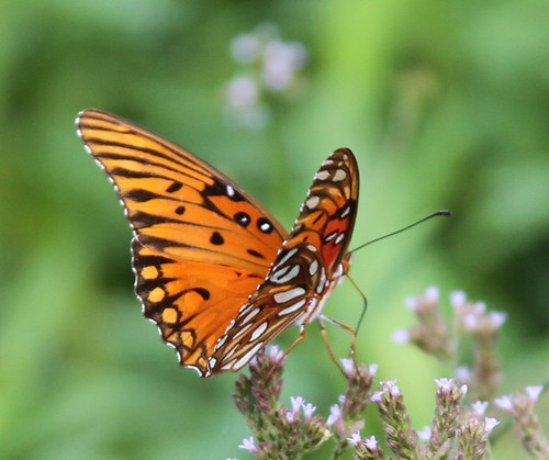
Gulf Fritillary
lake reflection water america canon river landscape moss fishing greg florida lock dam shoreline powershot g5 american shore canong5 fl bluff ocala centralflorida gkirk “great asnapshotcom asnapshot “g “central fishing” florida” bluff” “moss kirk”
Moss Bluff 08
Marshall Swamp 19 Feb 2015 2
reflection one hundred 100 ocalanationalforest lakescloudsflorida
Ocala National Forest, Florida
unitedstates florida iphone weatherbug partlysunny 74f lakeweir airme
Lake Weir, Oct 20, 2009
lake reflection water america canon river landscape moss fishing greg florida lock dam shoreline powershot g5 american shore canong5 fl bluff ocala centralflorida gkirk “great asnapshotcom asnapshot “g “central fishing” florida” bluff” “moss kirk”
Moss Bluff 11
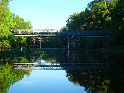
bridge reflection river florida area restoration prairie ocklawaha stjohnsriverwatermanagementdistrict
New bridge crossing the Ocklawaha River