Elevation of SE Bohna Park Rd, Damascus, OR, USA
Location: United States > Oregon > Clackamas County > Damascus >
Longitude: -122.4092805
Latitude: 45.4323364
Elevation: 199m / 653feet
Barometric Pressure: 0KPa
Related Photos:

Jonsrud take 2

{ sunrise over the oregon trail }
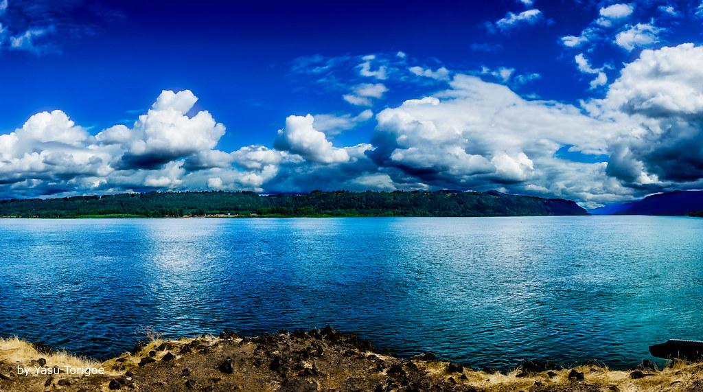
View of Columbia River Near Portland OR USA-5a

November Sunrise

So lucky to have friends @jess_pdx and @hinespdx (sbka* @HinesBeLike) to go out randomly hunting for city views on a lark. * = should be known as

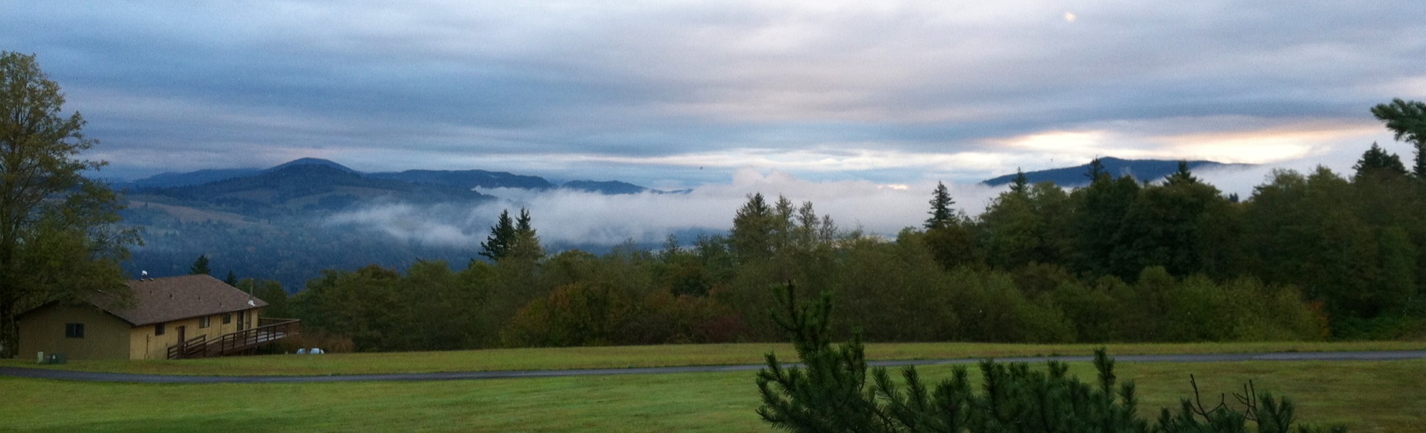
Rolling fog over Sandy River Valley. Can't wait to see more of these foggy landscapes . . . . . #jonrudsviewpoint #sandyoregon #foggymorning #foggysunrise #mthoodterritory #canon_official #canonphotography #madewithmefoto #purplepassport #explorecreatesha
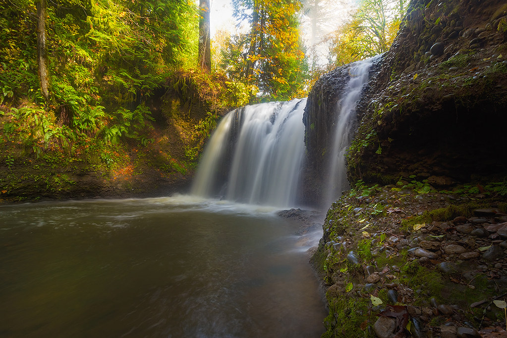
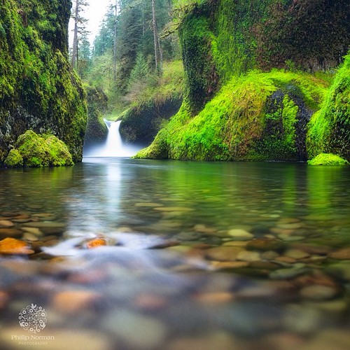
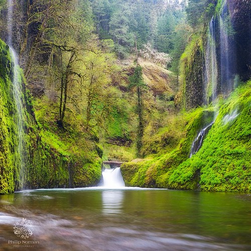
Sunlight and Waterfall . . . . #rockcreek #hiddenfalls #waterfall #waterfallsfordays #jj_westcoast #jj_oregon #canonphotography #photooftheday #oregonexplored #oregon #pnw #oregonwaterfalls #pnwisbest #pnwonderland #pnwisbeautiful #madewithmefoto #picofth

A Setting of Trees Along the Sandy River

One of those gorgeous sunrises and rolling fog scene I captured sometime ago . . . . . #pacificnorthwest #sandyriver #foggymorning #mthood #traveloregon #exploreoregon #mthoodterritory #mthoodnationalforest #jj_westcoast #jj_oregon #purplepassport #explor
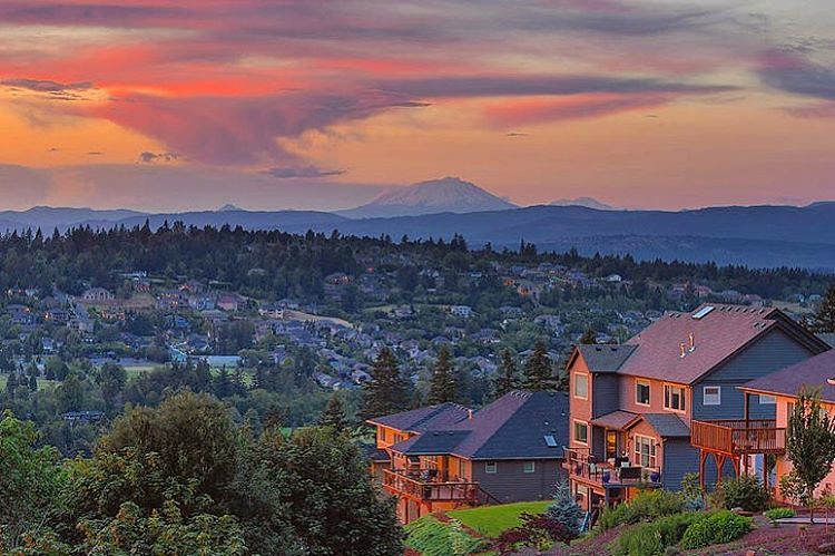
The happy colors of sunset in Happy Valley. Must be a happy place to live. But happy just to be there, even for a moment. . . . . . #photooftheday #happyvalley #sunset_ig #jj_oregon #jj_westcoast #pnw #traveloregon #exploreoregon #happyvalleyoregon #sunse
Waking up in Corbett

Toys "R" Us #8005 (Clackamas, OR)
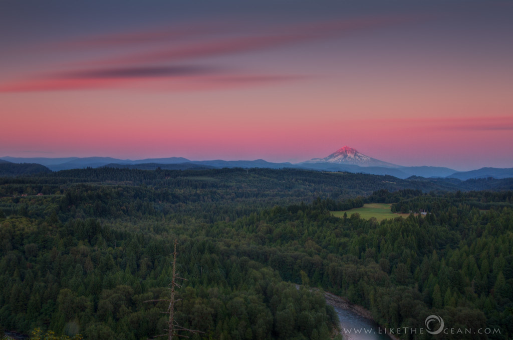
Jonsrud Sunrise
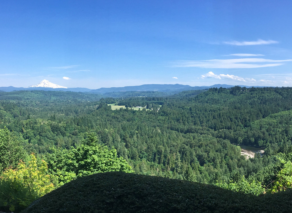
View from My Place

Awaiting Sunrise at Jonsrud Viewpoint - Sandy Oregon - HDR

they think like me, cool...

Rise of The Blue Moon

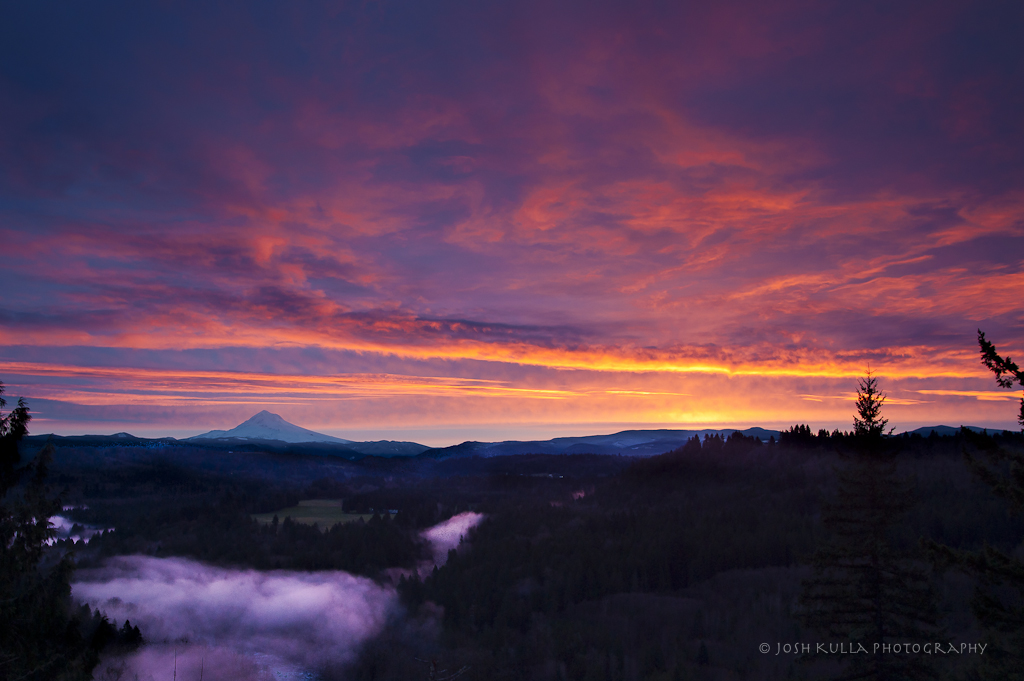
Sunrise Over Mount Hood and Sandy River From Jonsrud Viewpoint Oregon - HDR

Moonrise and Sunrise Over Mount Hood and Sandy River Valley - HDR
Send Me Home
The Last Kiss
The Columbia River begins its journey in the Canadian Rockies and finds its way down into Washington and Oregon where it flows past the northern slopes of Mt Hood. There are many tributaries flowing off those slopes where high rainfall feeds a lush forest
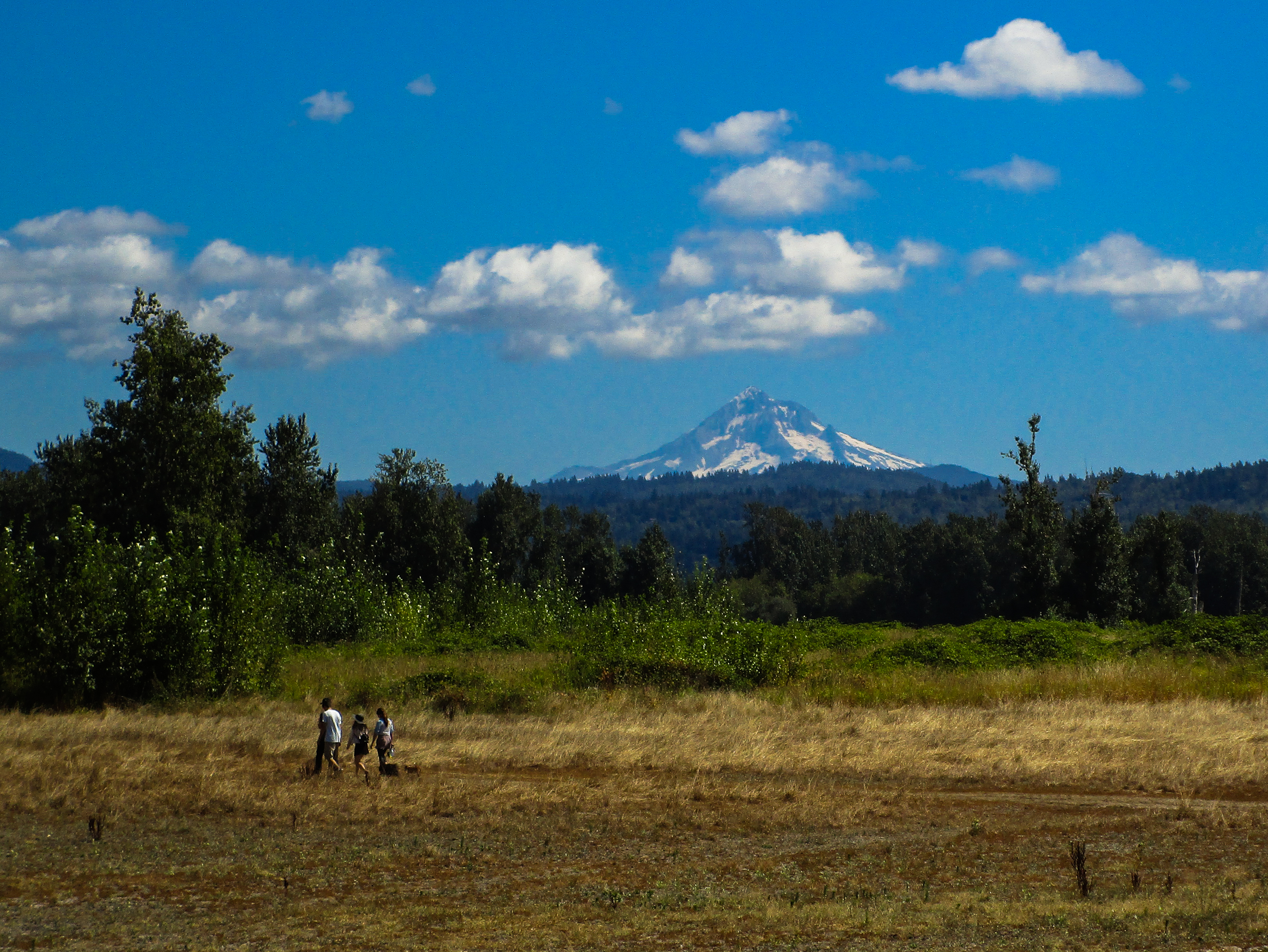
Summertime at Powell Butte [Explored]

DSC08709 (2) Rooster Rock State Park Oregon

Wine on the Vine
the last day of August
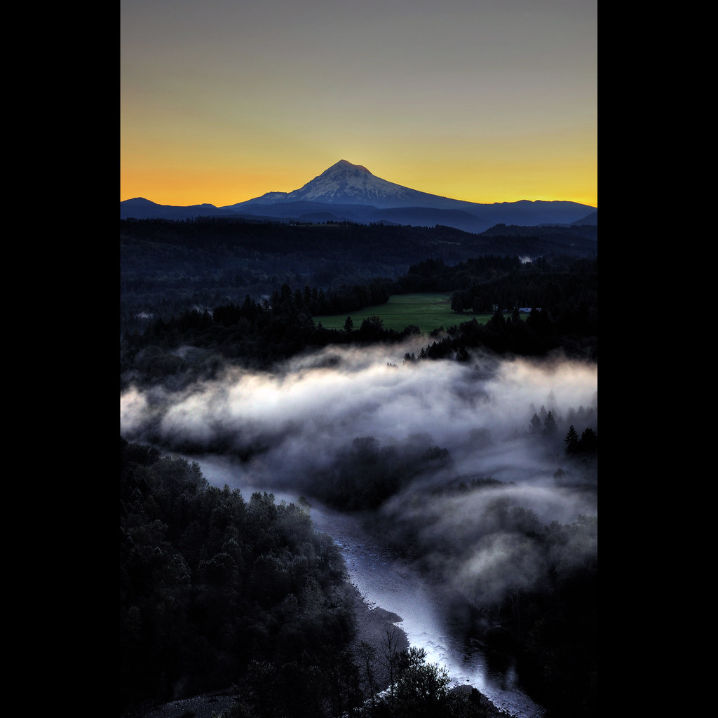
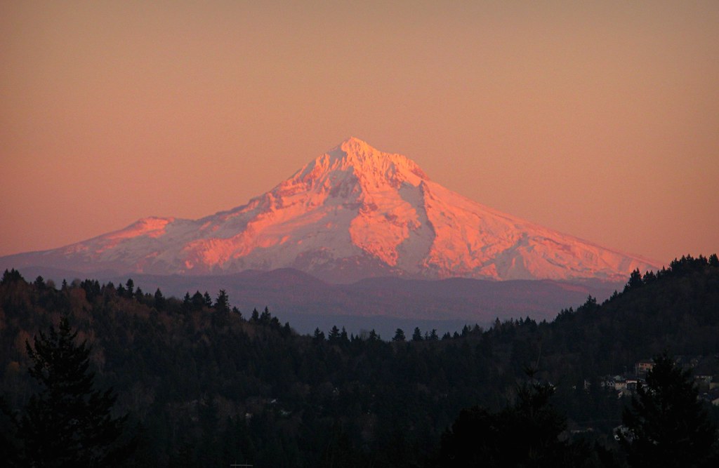
Mt. Hood Pre Sunrise from Jonsrud Viewpoint

Sunrise, Jonsrud Viewpoint 2013

fishing boat(s)

First light of day on Mt Adams and Camas, Washington

Rainy Day Looking Towards Latourell Fall Near Portland OR USA-6a (in Explore)

Rainy Day over the Columbia River Near Portland OR USA-7a
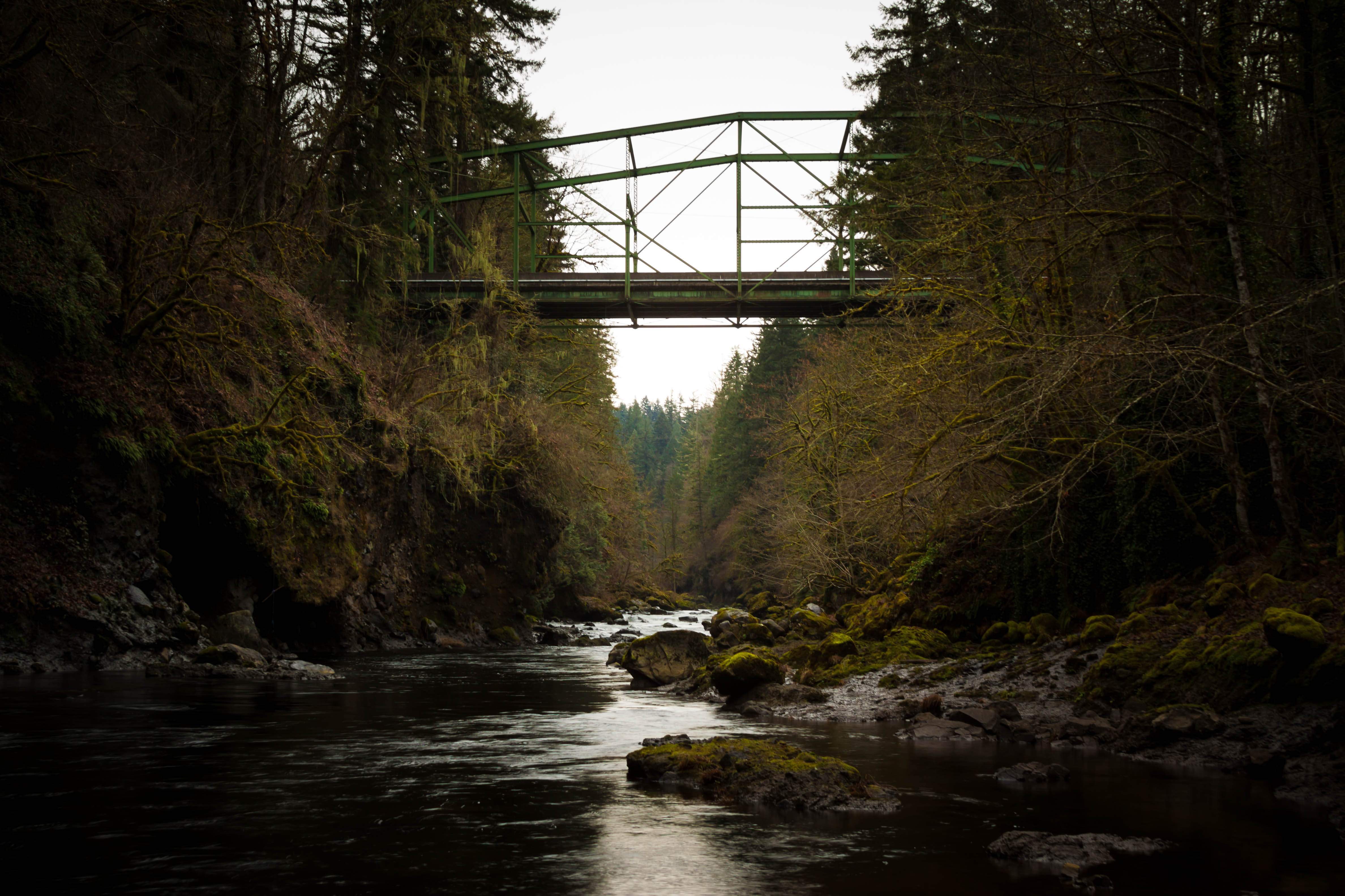
Bull Run Bridge
When I first saw an image of this place by Chip Phillips I said to myself I had to get there. When I finally found myself standing there after drawing on my years of map reading and navigation skills and getting through the narrow gorge with chest deep fr

6/6

Urban Jungle

Give me comatose joy like rerun T.V.
Secret Garden

vast open skies
Topographic Map of SE Bohna Park Rd, Damascus, OR, USA
Find elevation by address:

Places near SE Bohna Park Rd, Damascus, OR, USA:
24454 Se Strawberry Dr
Southeast Strawberry Drive
12945 Se 242nd Ave
23640 Se Bohna Park Rd
24500 Se Sunshine Valley Rd
12993 Se Dream Ln
23165 Se Hoffmeister Rd
24040 Se Hwy 212
23167 Se Hoffmeister Rd
26775 Or-212
10675 Se Eastmont Dr
22345 Se Ridgeview Dr
9388 Se Kingswood Way
22101 Se Bohna Park Rd
21860 Se Lagene St
Mountain View Golf Course
22445 Se Sharon Dr
22650 Se Naomi Dr
21800 Se Bohna Park Rd
27995 Se Church Rd
Recent Searches:
- Elevation of Pasing, Munich, Bavaria, 81241, Germany
- Elevation of 24, Auburn Bay Crescent SE, Auburn Bay, Calgary, Alberta, T3M 0A6, Canada
- Elevation of Denver, 2314, Arapahoe Street, Five Points, Denver, Colorado, 80205, USA
- Elevation of Community of the Beatitudes, 2924, West 43rd Avenue, Sunnyside, Denver, Colorado, 80211, USA
- Elevation map of Litang County, Sichuan, China
- Elevation map of Madoi County, Qinghai, China
- Elevation of 3314, Ohio State Route 114, Payne, Paulding County, Ohio, 45880, USA
- Elevation of Sarahills Drive, Saratoga, Santa Clara County, California, 95070, USA
- Elevation of Town of Bombay, Franklin County, New York, USA
- Elevation of 9, Convent Lane, Center Moriches, Suffolk County, New York, 11934, USA
- Elevation of Saint Angelas Convent, 9, Convent Lane, Center Moriches, Suffolk County, New York, 11934, USA
- Elevation of 131st Street Southwest, Mukilteo, Snohomish County, Washington, 98275, USA
- Elevation of 304, Harrison Road, Naples, Cumberland County, Maine, 04055, USA
- Elevation of 2362, Timber Ridge Road, Harrisburg, Cabarrus County, North Carolina, 28075, USA
- Elevation of Ridge Road, Marshalltown, Marshall County, Iowa, 50158, USA
- Elevation of 2459, Misty Shadows Drive, Pigeon Forge, Sevier County, Tennessee, 37862, USA
- Elevation of 8043, Brightwater Way, Spring Hill, Williamson County, Tennessee, 37179, USA
- Elevation of Starkweather Road, San Luis, Costilla County, Colorado, 81152, USA
- Elevation of 5277, Woodside Drive, Baton Rouge, East Baton Rouge Parish, Louisiana, 70808, USA
- Elevation of 1139, Curtin Street, Shepherd Park Plaza, Houston, Harris County, Texas, 77018, USA