Elevation of SE Barnes Ave, Gresham, OR, USA
Location: United States > Oregon > Multnomah County > Gresham > Powell Valley >
Longitude: -122.39237
Latitude: 45.4927175
Elevation: 130m / 427feet
Barometric Pressure: 100KPa
Elevation Map:
Satellite Map:
Related Photos:

balancing act
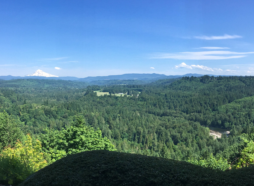
View from My Place
Rub the Sleep From Your Eyes
bus view
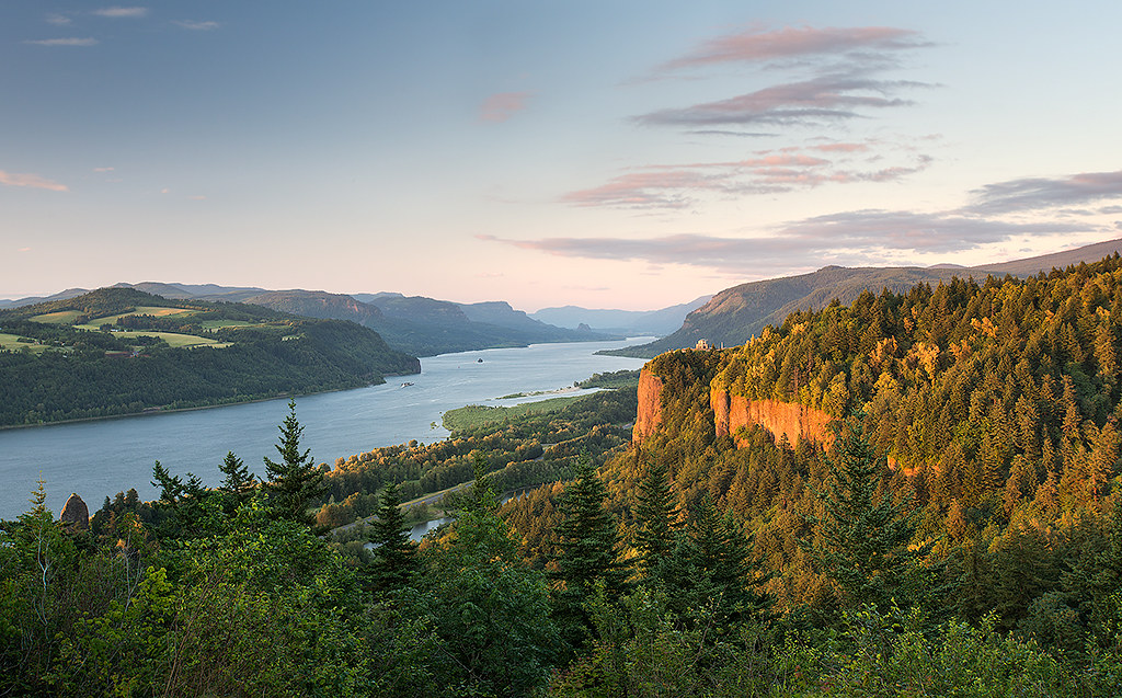
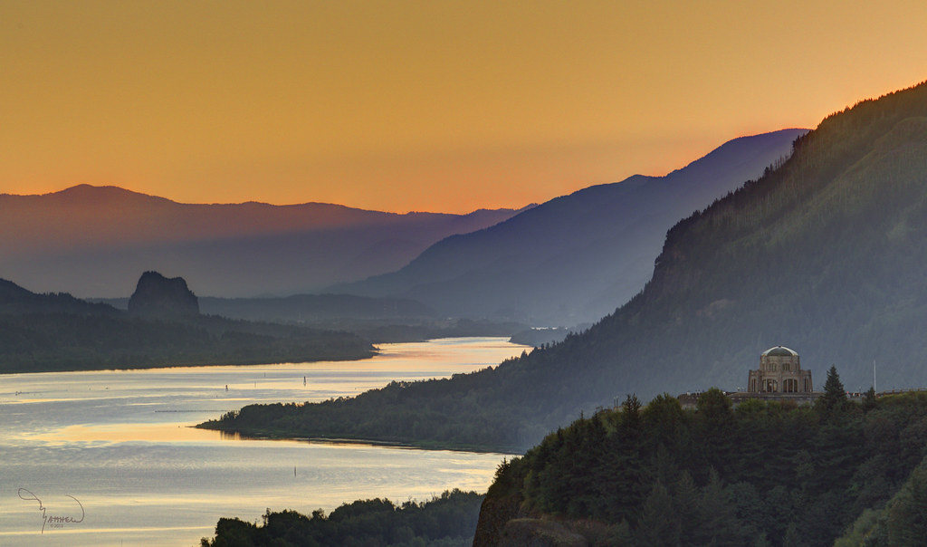
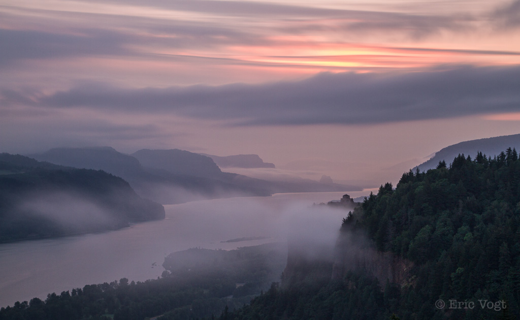
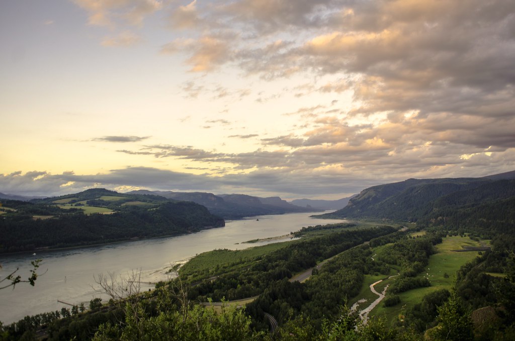
columbia gorge
Just living is not enough... one must have sunshine, freedom, and a little flower…
Lower Latourell Falls, Multnomah / Columbia River Gorge, Oregon, USA
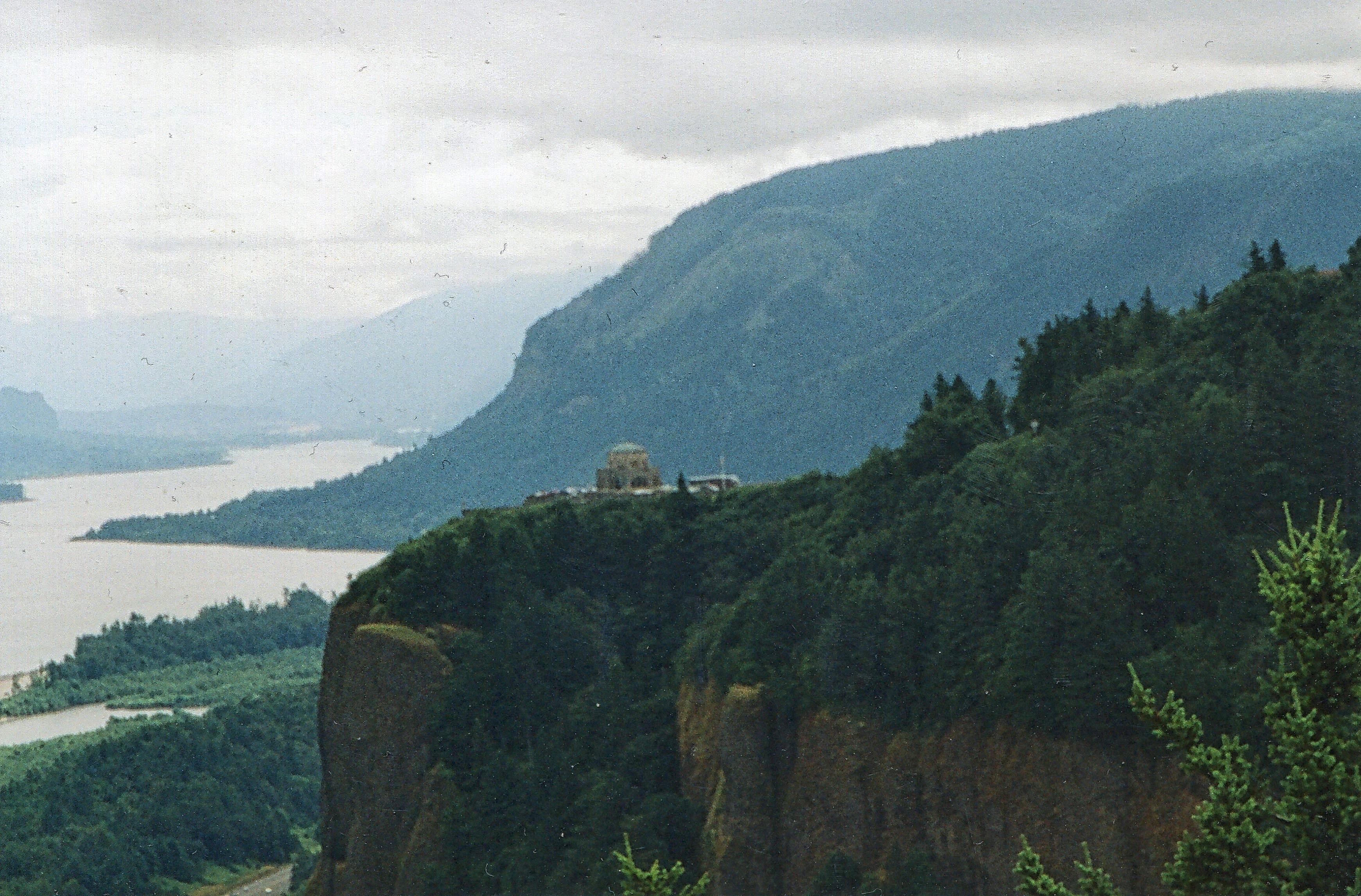
Vista House ~Oregon State ~ Columbia Gorge ~ My Old Photo

they're back...

Awaiting Sunrise at Jonsrud Viewpoint - Sandy Oregon - HDR
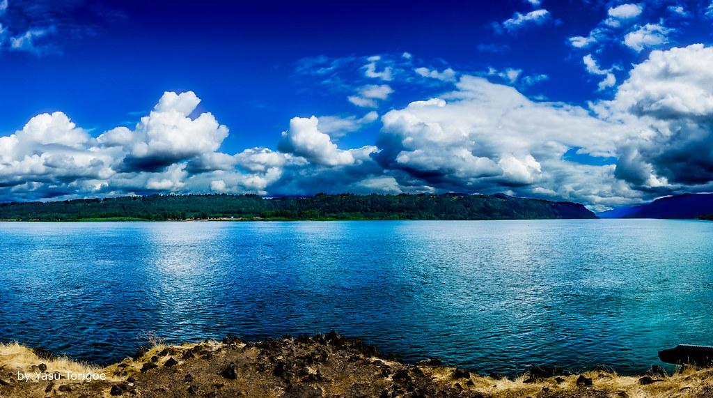
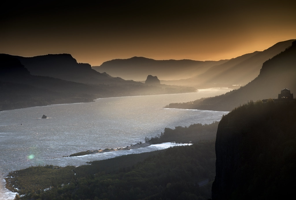
View of Columbia River Near Portland OR USA-5a
the last day of August
Views To Be Had

November Sunrise
Just being a tourist

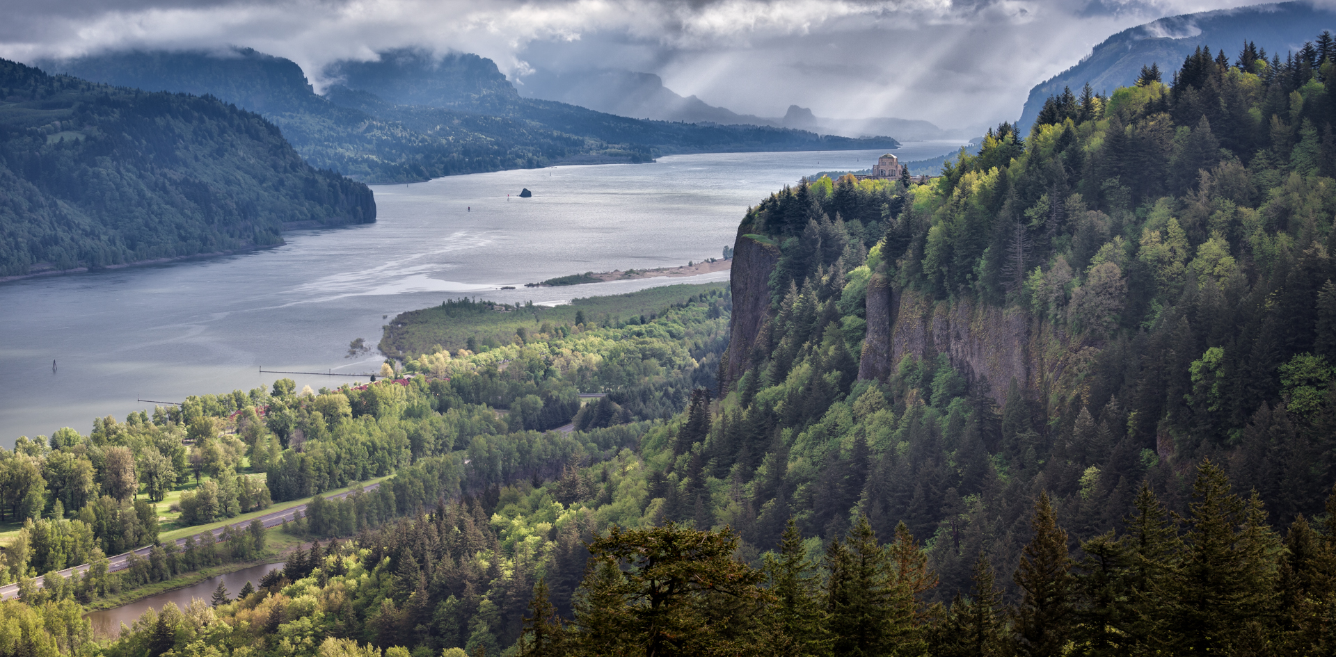
Crown Point
Columbia River Gorge...

the view from vista house
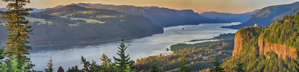
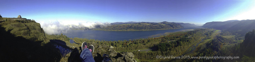
"Columbia River Panorama"

So lucky to have friends @jess_pdx and @hinespdx (sbka* @HinesBeLike) to go out randomly hunting for city views on a lark. * = should be known as

One last chance for lavender pollen

Row Row Row your boat...
Competing Interests
Broad is the Way that Leadeth to Destruction
When I first saw an image of this place by Chip Phillips I said to myself I had to get there. When I finally found myself standing there after drawing on my years of map reading and navigation skills and getting through the narrow gorge with chest deep fr
Beacon Rock and Vista House
Sunrise On The Columbia River
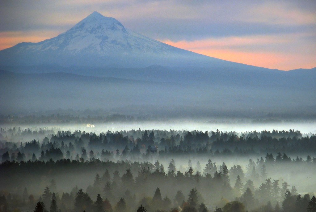
Top Of The World
Spring Rains at Latourell Falls
Vista's Morning Break
Latourell Creek
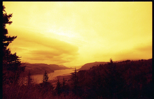
Columbia River Gorge
Storm over the Columbia River Gorge
Columbia Gorge Sunset

Snow-capped moon-rise
il fiume va (sa dove andare)
The Overlook, Columbia River Gorge

A walk in the woods

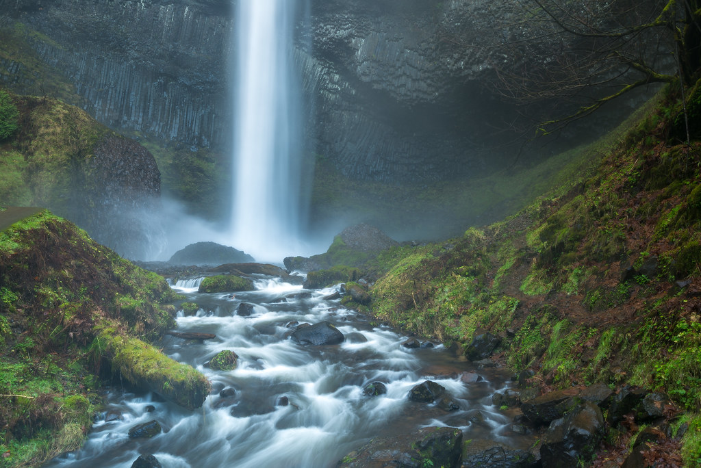
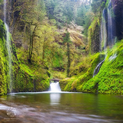
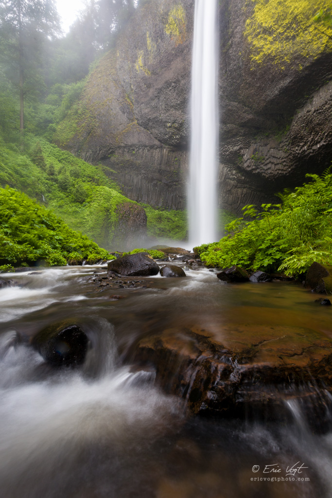
Latourell Falls
Topographic Map of SE Barnes Ave, Gresham, OR, USA
Find elevation by address:

Places near SE Barnes Ave, Gresham, OR, USA:
3855 Se 1st Pl
4567 Se 5th St
3604 Se Powell Valley Rd
Powell Valley
150 Ne Kane Dr
1717 Se Orient Dr
U.s. 26 & Southeast Palmquist Road
U.s. 26 & Southeast Palmquist Road
Northeast Paropa Way
3200 Se Palmquist Rd
3200 Ne 5th St
Southeast Powell Valley Road & Southeast Burnside Road
3500 Ne 17th St
Mount Hood
1905 Se 6th St
Northeast
3226 Ne 29th St
1520 Se Evelyn Ct
Asert
2828 Sw Clara Ct
Recent Searches:
- Elevation of Corso Fratelli Cairoli, 35, Macerata MC, Italy
- Elevation of Tallevast Rd, Sarasota, FL, USA
- Elevation of 4th St E, Sonoma, CA, USA
- Elevation of Black Hollow Rd, Pennsdale, PA, USA
- Elevation of Oakland Ave, Williamsport, PA, USA
- Elevation of Pedrógão Grande, Portugal
- Elevation of Klee Dr, Martinsburg, WV, USA
- Elevation of Via Roma, Pieranica CR, Italy
- Elevation of Tavkvetili Mountain, Georgia
- Elevation of Hartfords Bluff Cir, Mt Pleasant, SC, USA