Elevation of NE Kane Dr, Gresham, OR, USA
Location: United States > Oregon > Multnomah County > Gresham > Powell Valley >
Longitude: -122.39848
Latitude: 45.4982862
Elevation: -10000m / -32808feet
Barometric Pressure: 295KPa
Elevation Map:
Satellite Map:
Related Photos:
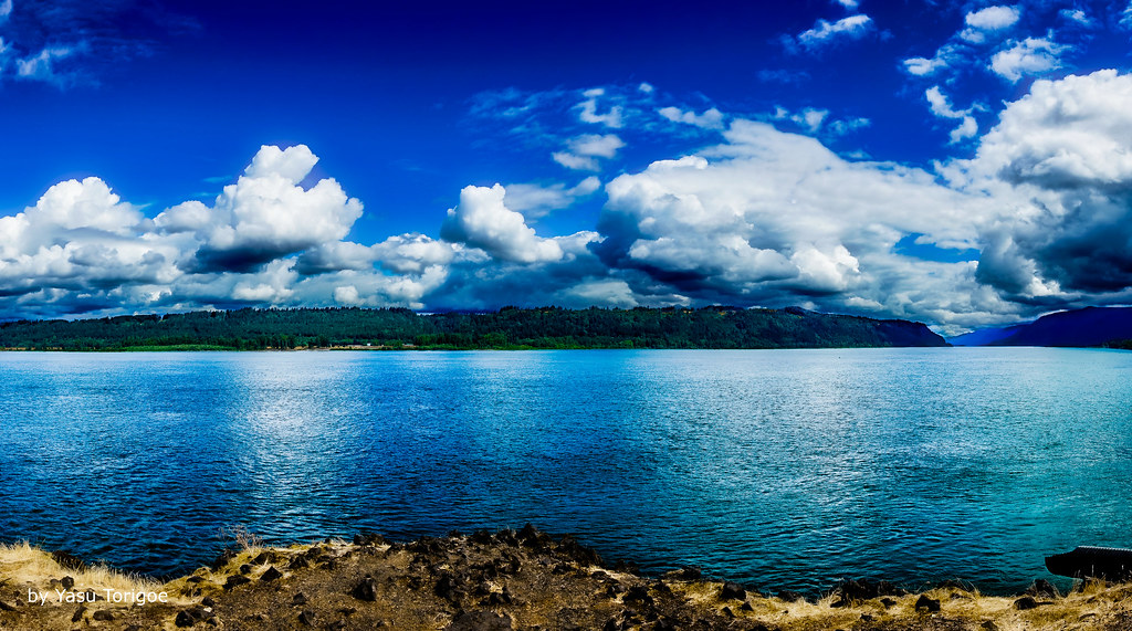
View of Columbia River Near Portland OR USA-5a
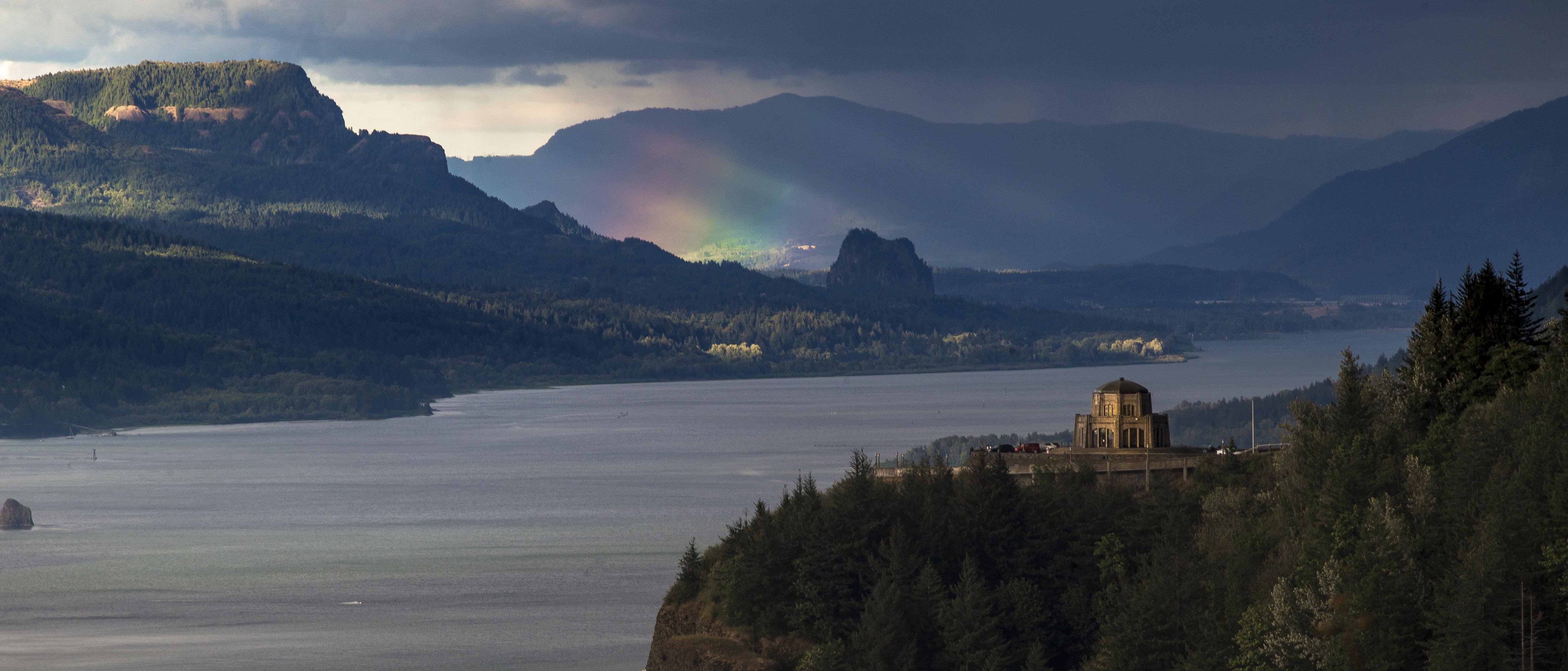
Rainbow in the Columbia River Gorge

Rainy Day over the Columbia River Near Portland OR USA-7a

View from My Place

When ambition ends, happiness begins…
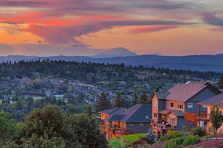
The happy colors of sunset in Happy Valley. Must be a happy place to live. But happy just to be there, even for a moment. . . . . . #photooftheday #happyvalley #sunset_ig #jj_oregon #jj_westcoast #pnw #traveloregon #exploreoregon #happyvalleyoregon #sunse

Sunlight and Waterfall . . . . #rockcreek #hiddenfalls #waterfall #waterfallsfordays #jj_westcoast #jj_oregon #canonphotography #photooftheday #oregonexplored #oregon #pnw #oregonwaterfalls #pnwisbest #pnwonderland #pnwisbeautiful #madewithmefoto #picofth

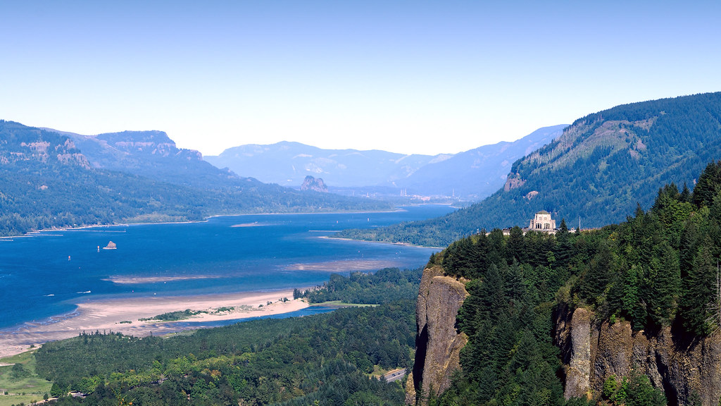
Views of the Columbia River at Chanticleer Point

balancing act

From Near to Far While Taking in the Gorge

The most I can do for my friend is simply be his friend…

Hillside After Hillside...

Vista House View - Historic Columbia River Highway in Autumn

Views of the Columbia River at Chanticleer Point (Black & White)
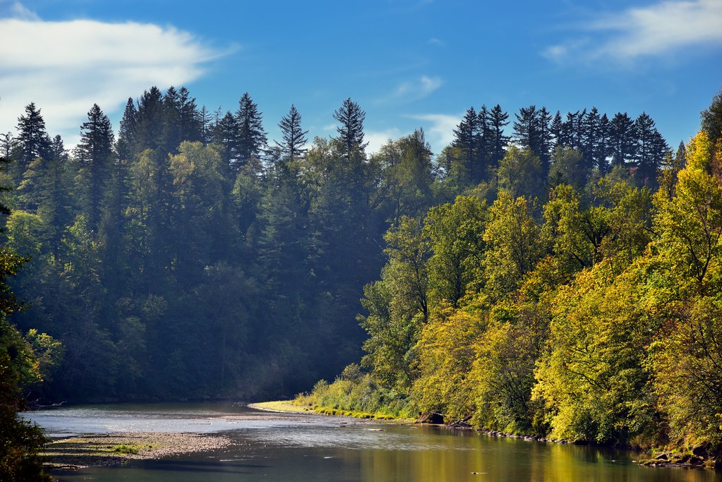
A Setting of Trees Along the Sandy River

Lazuli Bunting

Just living is not enough... one must have sunshine, freedom, and a little flower…

Crown Point and Vista House, June 2019
Rub the Sleep From Your Eyes

I-205 Bridge from Final Approach to Portland Airport (PDX)

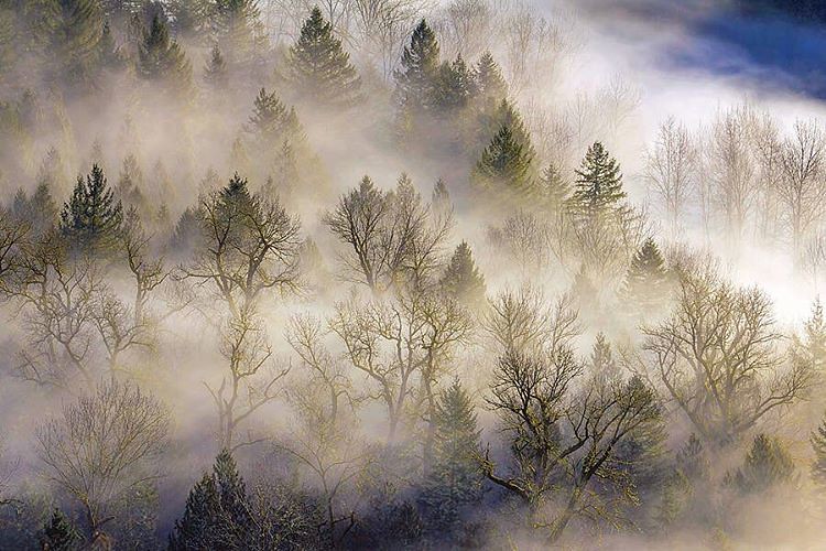
One of those gorgeous sunrises and rolling fog scene I captured sometime ago . . . . . #pacificnorthwest #sandyriver #foggymorning #mthood #traveloregon #exploreoregon #mthoodterritory #mthoodnationalforest #jj_westcoast #jj_oregon #purplepassport #explor
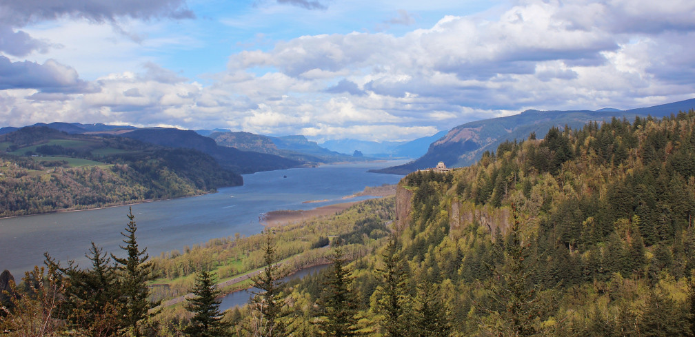
Columbia River Gorge

Columbia River Gorge

Rainy Day Looking Towards Latourell Fall Near Portland OR USA-6a (in Explore)

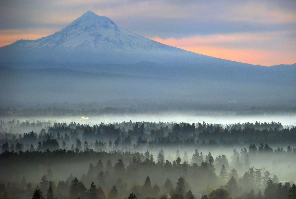
Hood and the fog at Jonsrud

Crown Point
Columbia River
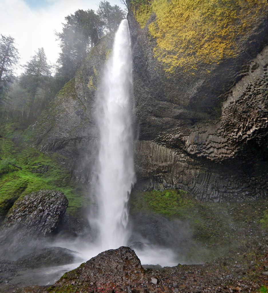
Latourell Falls

Latourell Color

Washougal, Washington

Washougal, Washington

il fiume va (sa dove andare)

Luckdragon at Upper Latourell

Washougal, Washington

Beacon Rock and Vista House

The Long Line of Latourell
Rolling fog over Sandy River Valley. Can't wait to see more of these foggy landscapes . . . . . #jonrudsviewpoint #sandyoregon #foggymorning #foggysunrise #mthoodterritory #canon_official #canonphotography #madewithmefoto #purplepassport #explorecreatesha

Washougal, Washington
Topographic Map of NE Kane Dr, Gresham, OR, USA
Find elevation by address:

Places near NE Kane Dr, Gresham, OR, USA:
Powell Valley
Northeast Paropa Way
3200 Ne 5th St
3855 Se 1st Pl
3604 Se Powell Valley Rd
570 Se Barnes Ave
Southeast Powell Valley Road & Southeast Burnside Road
3500 Ne 17th St
U.s. 26 & Southeast Palmquist Road
U.s. 26 & Southeast Palmquist Road
4567 Se 5th St
3200 Se Palmquist Rd
1717 Se Orient Dr
1905 Se 6th St
Northeast
Mount Hood
3226 Ne 29th St
1219 Ne 6th St
City Central
Asert
Recent Searches:
- Elevation of Corso Fratelli Cairoli, 35, Macerata MC, Italy
- Elevation of Tallevast Rd, Sarasota, FL, USA
- Elevation of 4th St E, Sonoma, CA, USA
- Elevation of Black Hollow Rd, Pennsdale, PA, USA
- Elevation of Oakland Ave, Williamsport, PA, USA
- Elevation of Pedrógão Grande, Portugal
- Elevation of Klee Dr, Martinsburg, WV, USA
- Elevation of Via Roma, Pieranica CR, Italy
- Elevation of Tavkvetili Mountain, Georgia
- Elevation of Hartfords Bluff Cir, Mt Pleasant, SC, USA