Elevation of Schloss Burg, Schloßpl. 2, Solingen, Germany
Location: Germany > North Rhine-westphalia > Düsseldorf > Solingen > Burg An Der Wupper >
Longitude: 7.1525945
Latitude: 51.1376713
Elevation: 193m / 633feet
Barometric Pressure: 99KPa
Elevation Map:
Satellite Map:
Related Photos:

stepping up to nothing

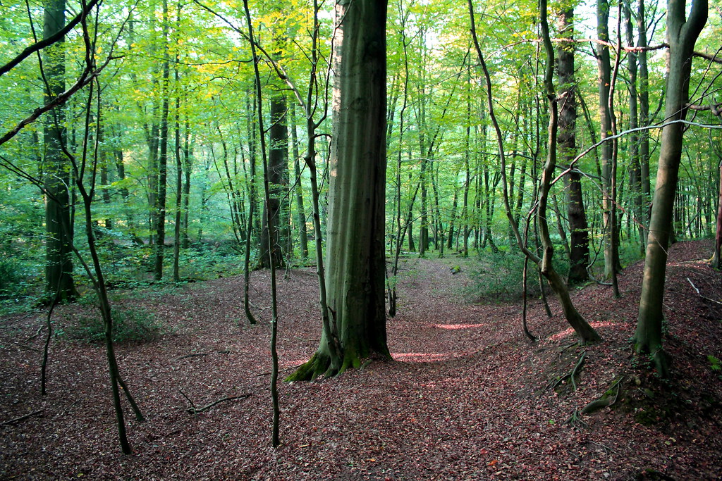
Nature Moments

Sunset silence (Fineart)

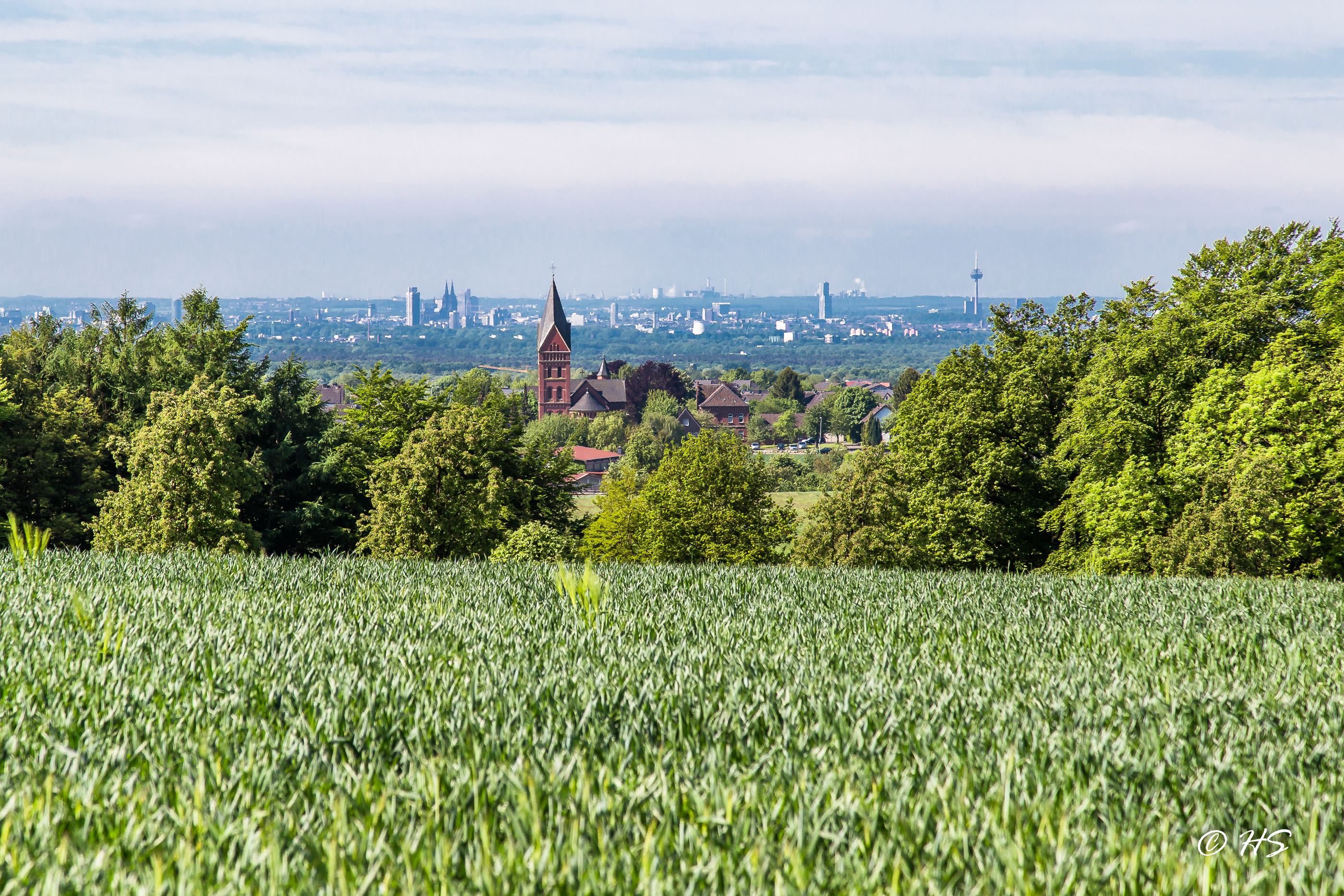
The Cologne bay
the first signs of autumn

Winter silence

Wülfrath - Düssel
Leverkusen Steinbüchel
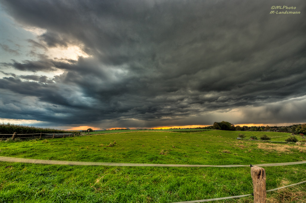
On storm tour

Wülfrath-Düssel
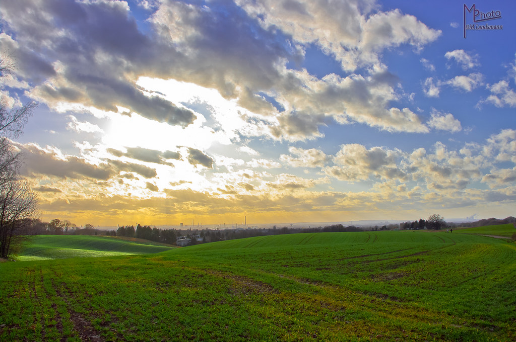
Fields of Leverkusen

Wuppertal Views

Wuppertal Views

Wuppertal Views
Gegenlicht / Backlight

Wuppertal Views

Wuppertal Views

Wuppertal Views

Wuppertal Views

Wuppertal Views

Wuppertal Views
Topographic Map of Schloss Burg, Schloßpl. 2, Solingen, Germany
Find elevation by address:

Places near Schloss Burg, Schloßpl. 2, Solingen, Germany:
Burg An Der Wupper
Kölner Str. 97, Burscheid, Germany
Hilgen
Burscheid
Wermelskirchen
Blecher
40c
Altenberg
Eugen-heinen-platz 2
Lacher Feld 3, Solingen, Germany
Dürscheid
Spiegelhof 1, Burscheid, Germany
Wickhausen 28, Wermelskirchen, Germany
Wickhausen
Kamp
Hampa Verbundtechnik
Odenthal
12a
Atzlenbacher Str. 78, Leverkusen, Germany
Atzlenbach
Recent Searches:
- Elevation of Corso Fratelli Cairoli, 35, Macerata MC, Italy
- Elevation of Tallevast Rd, Sarasota, FL, USA
- Elevation of 4th St E, Sonoma, CA, USA
- Elevation of Black Hollow Rd, Pennsdale, PA, USA
- Elevation of Oakland Ave, Williamsport, PA, USA
- Elevation of Pedrógão Grande, Portugal
- Elevation of Klee Dr, Martinsburg, WV, USA
- Elevation of Via Roma, Pieranica CR, Italy
- Elevation of Tavkvetili Mountain, Georgia
- Elevation of Hartfords Bluff Cir, Mt Pleasant, SC, USA