Elevation of Schindler Rd, Fallon, NV, USA
Location: United States > Nevada > Fallon >
Longitude: -118.8186548
Latitude: 39.4309116
Elevation: 1208m / 3963feet
Barometric Pressure: 0KPa
Related Photos:
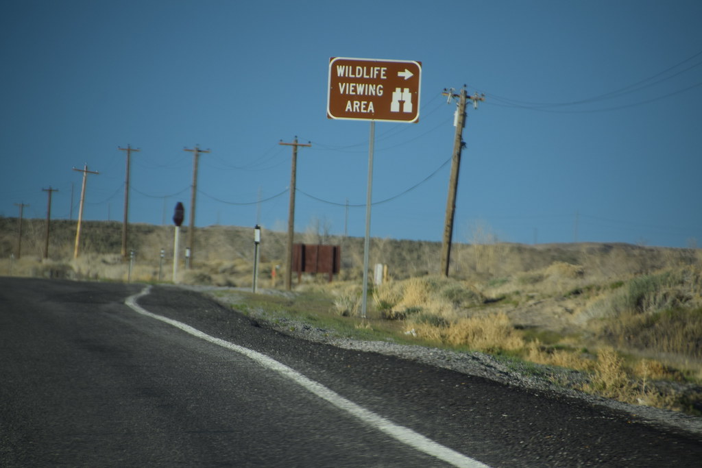
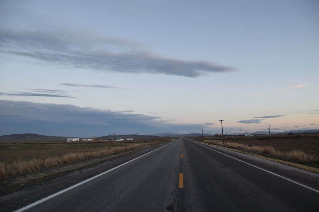
View in Fallon, NV
Fallon View
Looks like home
Fallon, Nevada

Fallon, Nevada
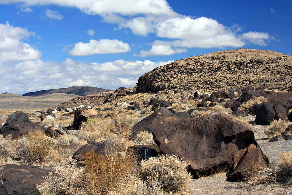
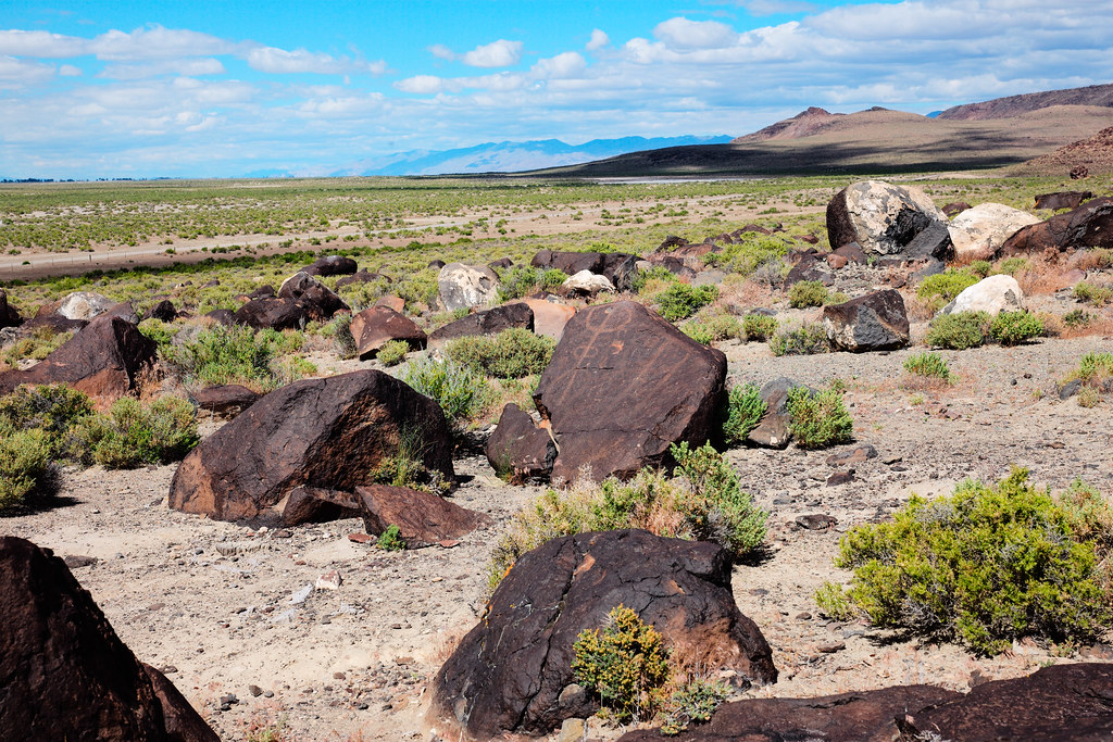
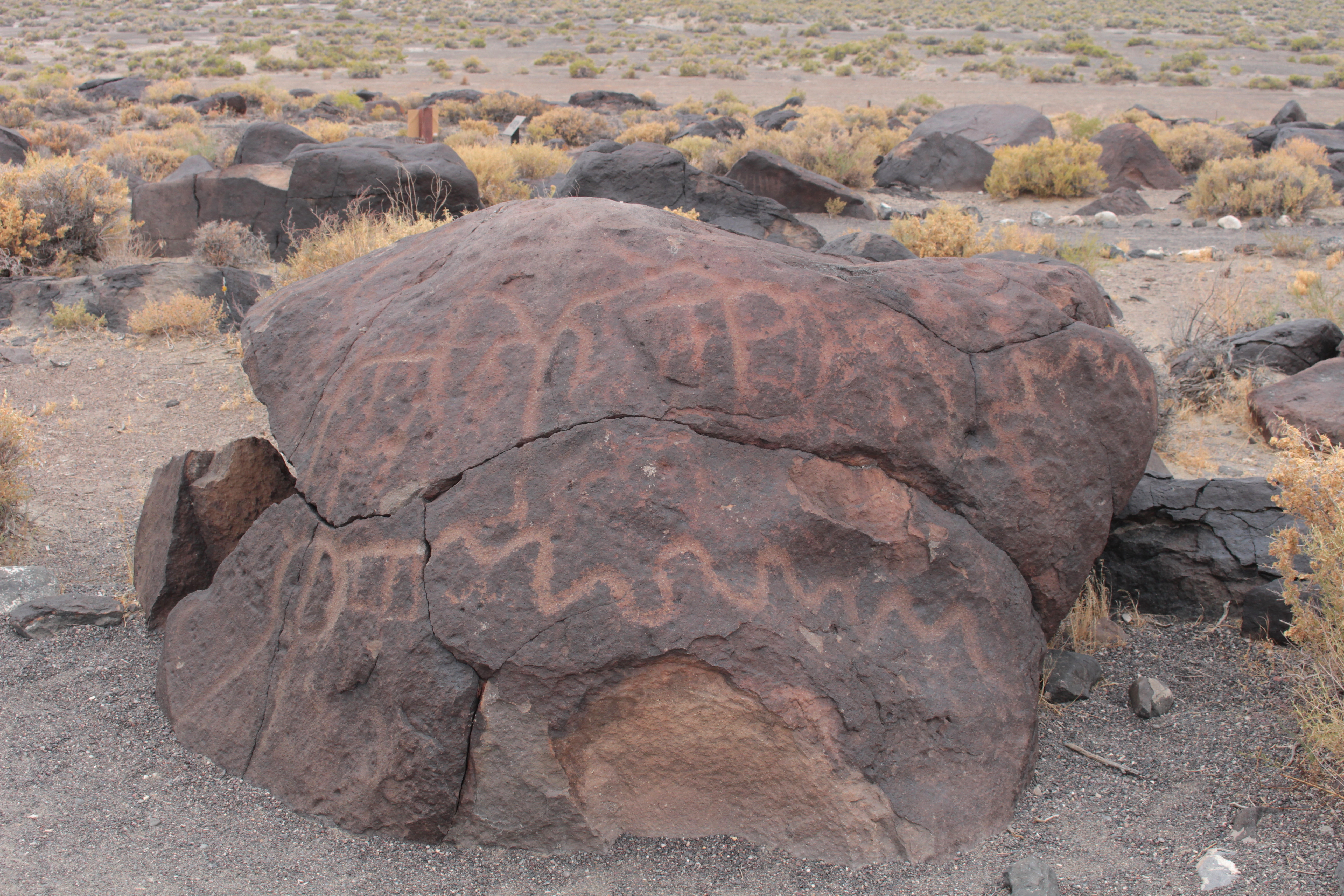
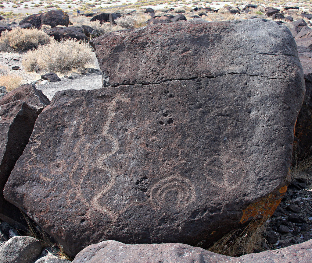
Grimes Point
H5172336.jpg
#JOESIMPSON

IMG_20141108_165556_hdr.jpg

Grimes Point

Fence Lizard
20170318 181435 1SL6
20170318 180913 1SL6
20170318 174627 1SL6
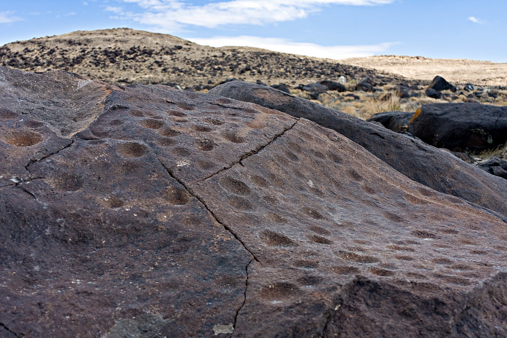
Busy rock
Petroglyphs of Grimes Point 4
20170318 190544 1SL6

20170318 181803 1SL6
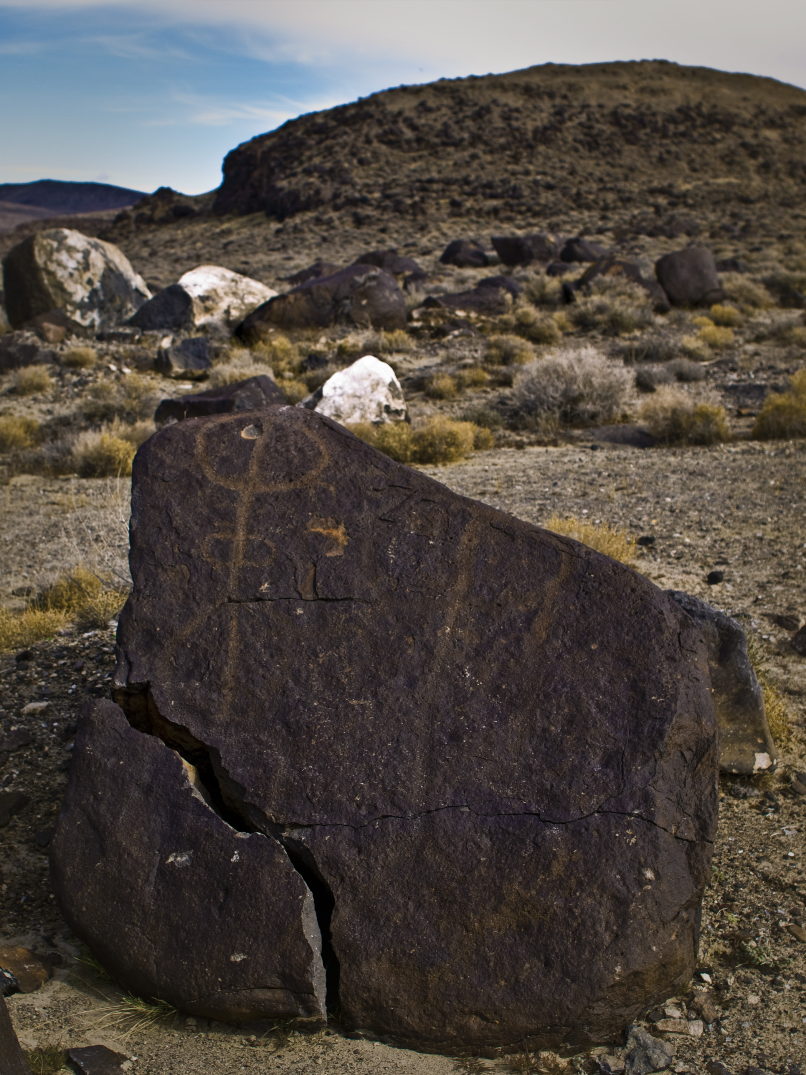
Grimes Point
Grimes Point
20170318 181510 1SL6
Ruins 5

Ruins 3
Topographic Map of Schindler Rd, Fallon, NV, USA
Find elevation by address:

Places near Schindler Rd, Fallon, NV, USA:
3120 Schindler Rd
Bass Rd, Fallon, NV, USA
1140 Bon Accord Ln
2450 Schurz Hwy
3003 Alcorn Rd
2223 Sabrina Way
Allen Road Storage
Walmart Supercenter
2333 Reno Hwy
1061 Sunset Dr
120 Industrial Way
Unnamed Road
2333 W Williams Ave
Big R Stores
West Williams Avenue
565 Gummow Dr
840 Lazy Heart Ln
2556 Rice Rd
598 Humboldt St
Fallon
Recent Searches:
- Elevation of 611, Roman Road, Old Ford, Bow, London, England, E3 2RW, United Kingdom
- Elevation of 116, Beartown Road, Underhill, Chittenden County, Vermont, 05489, USA
- Elevation of Window Rock, Colfax County, New Mexico, 87714, USA
- Elevation of 4807, Rosecroft Street, Kempsville Gardens, Virginia Beach, Virginia, 23464, USA
- Elevation map of Matawinie, Quebec, Canada
- Elevation of Sainte-Émélie-de-l'Énergie, Matawinie, Quebec, Canada
- Elevation of Rue du Pont, Sainte-Émélie-de-l'Énergie, Matawinie, Quebec, J0K2K0, Canada
- Elevation of 8, Rue de Bécancour, Blainville, Thérèse-De Blainville, Quebec, J7B1N2, Canada
- Elevation of Wilmot Court North, 163, University Avenue West, Northdale, Waterloo, Region of Waterloo, Ontario, N2L6B6, Canada
- Elevation map of Panamá Province, Panama
- Elevation of Balboa, Panamá Province, Panama
- Elevation of San Miguel, Balboa, Panamá Province, Panama
- Elevation of Isla Gibraleón, San Miguel, Balboa, Panamá Province, Panama
- Elevation of 4655, Krischke Road, Schulenburg, Fayette County, Texas, 78956, USA
- Elevation of Carnegie Avenue, Downtown Cleveland, Cleveland, Cuyahoga County, Ohio, 44115, USA
- Elevation of Walhonding, Coshocton County, Ohio, USA
- Elevation of Clifton Down, Clifton, Bristol, City of Bristol, England, BS8 3HU, United Kingdom
- Elevation map of Auvergne-Rhône-Alpes, France
- Elevation map of Upper Savoy, Auvergne-Rhône-Alpes, France
- Elevation of Chamonix-Mont-Blanc, Upper Savoy, Auvergne-Rhône-Alpes, France