Elevation of Schüttberger Hauptstraße 15, Crailsheim, Germany
Location: Germany > Baden-württemberg > Stuttgart > Crailsheim > Schüttberg >
Longitude: 10.141006
Latitude: 49.1024665
Elevation: 501m / 1644feet
Barometric Pressure: 95KPa
Elevation Map:
Satellite Map:
Related Photos:
Romantic View

IMG_8449_50_51-HDR.jpg
Afternoon view

Luftbild Crailsheim
Luftbild Moran

Fenster / Window / Fenêtre

Tür / Door / Porte
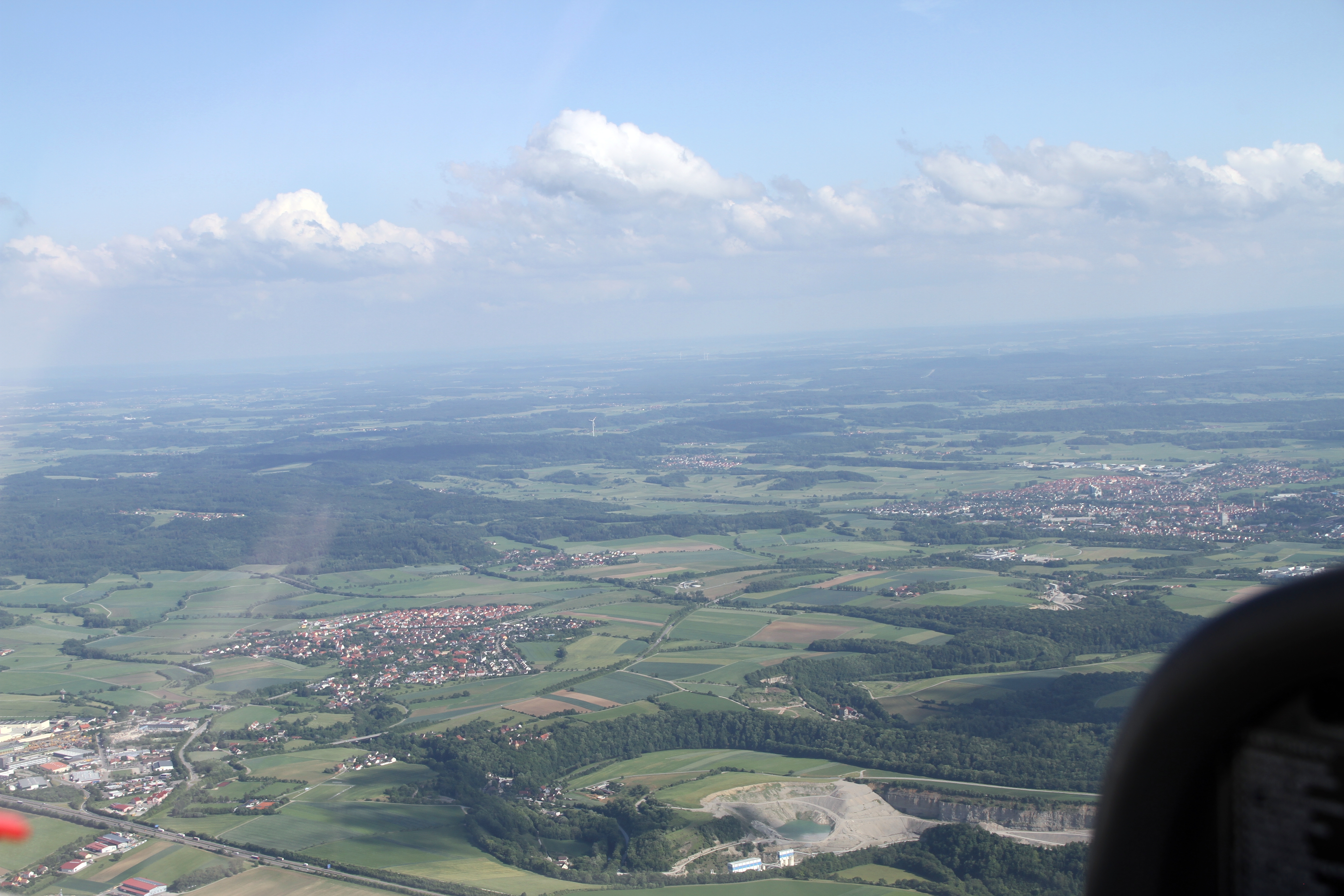
Luftbild Crailsheim

Luftbild Crailsheim

Jewish Cemetery Crailsheim
Wuerttemberg - Crailsheim: hot & dry summer season

Wuerttemberg - Ellwangen: "Haesle Stausee"

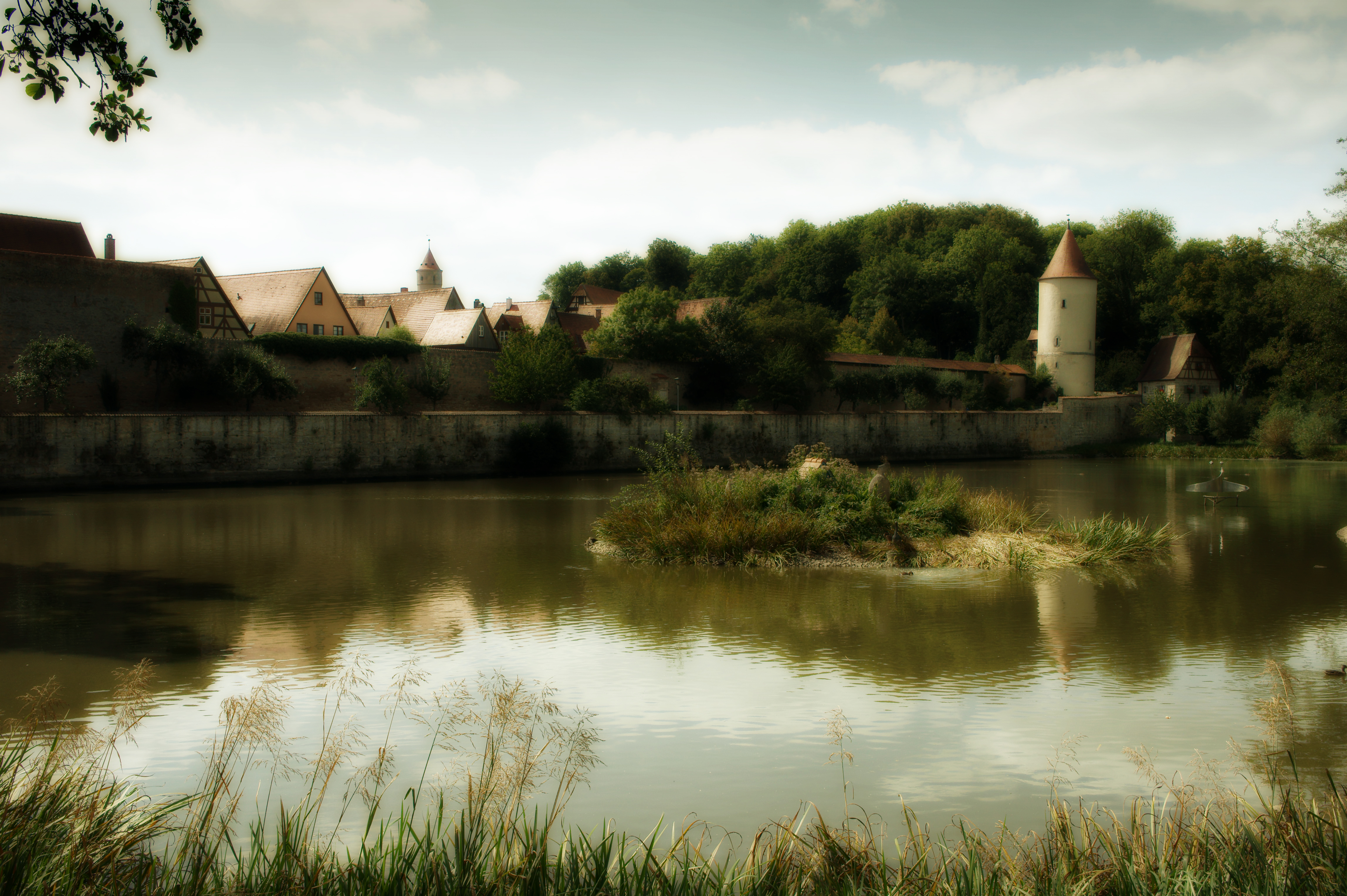
Dinkelsbühl

summer landscape

Es war einmal... vor ein paar Tagen!

Dinkelsbühl - Gaulweiher

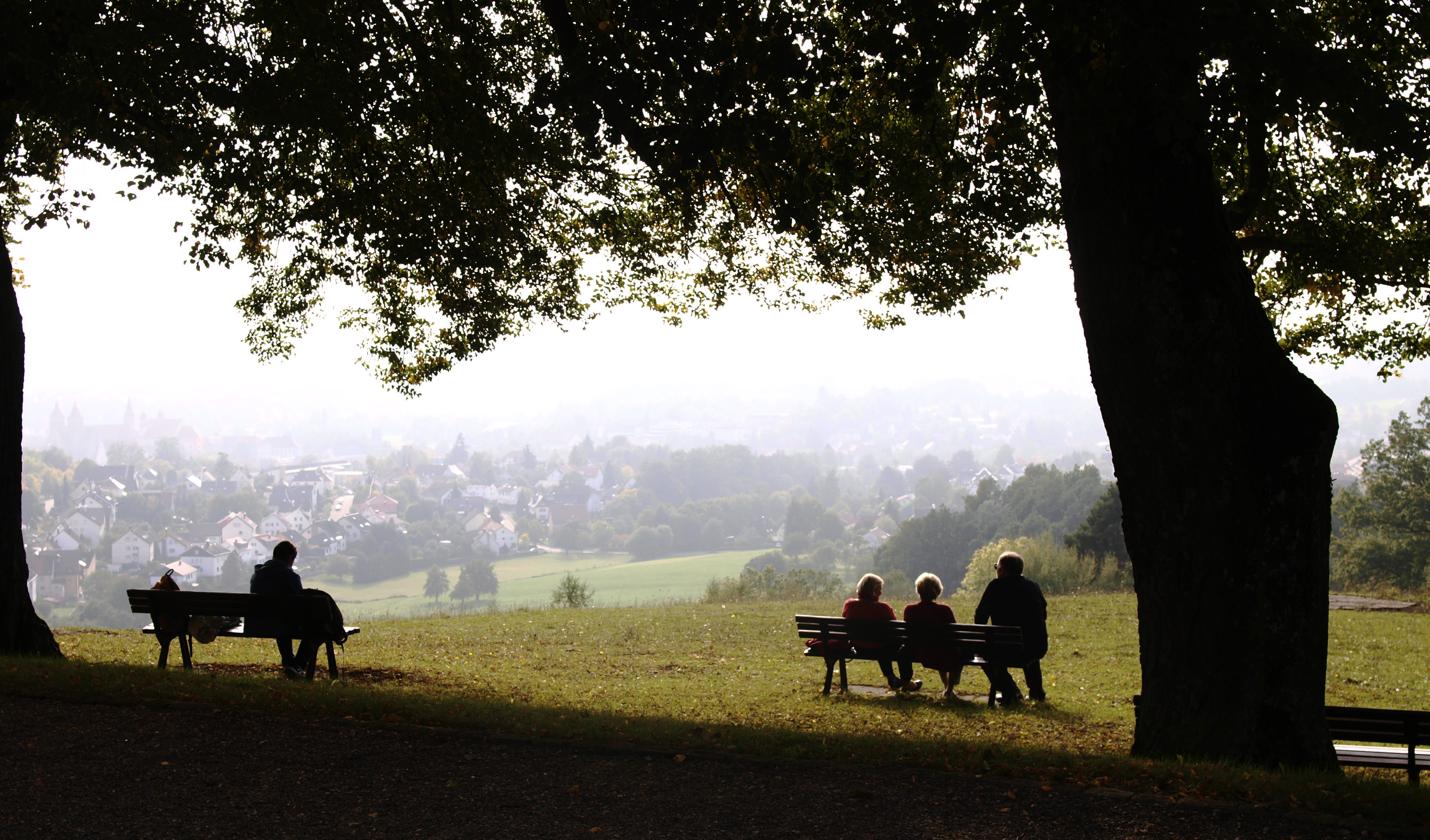
Trio unterm Novemberhimmel
Den Wind kann man nicht verbieten. Aber man kann Mühlen bauen.
WegSpuren...
THE PATH

20140721-IMG_3649
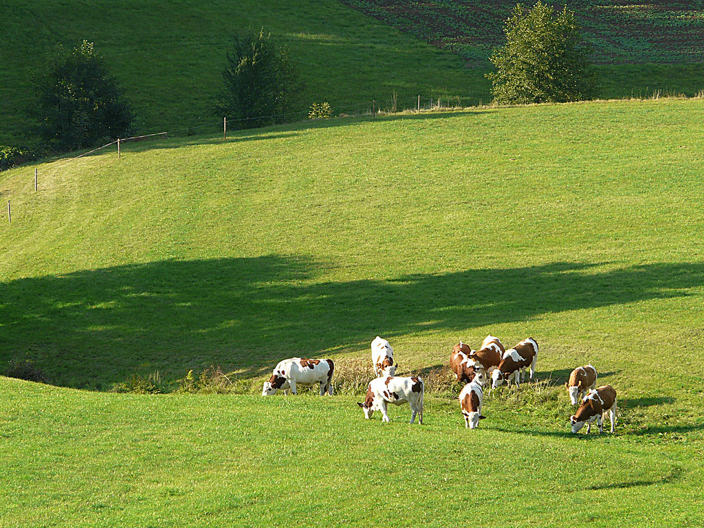
Rinderglück...
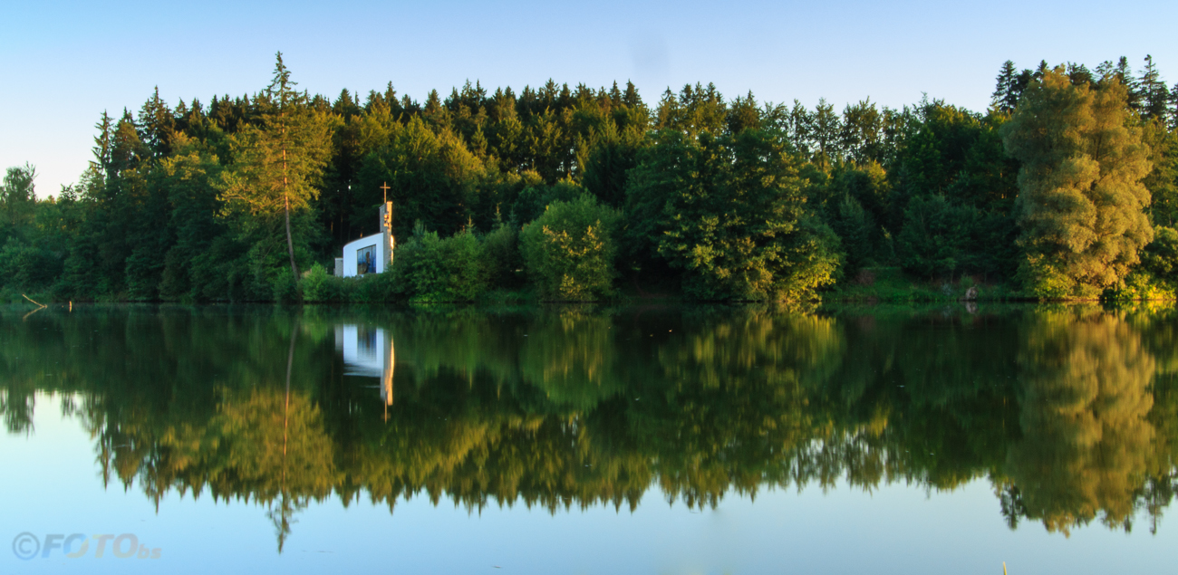
Kapelle am See - Chapel by the lake
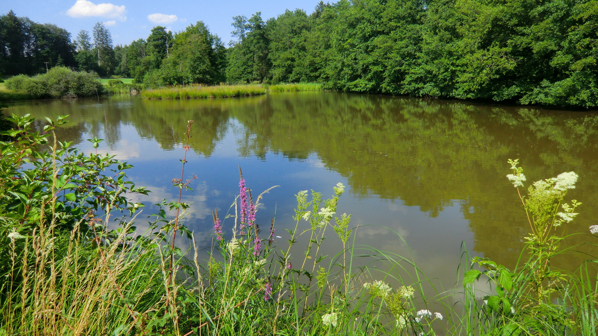
Wuerttemberg - Ellwangen: "Haesle Stausee" - I like this place!
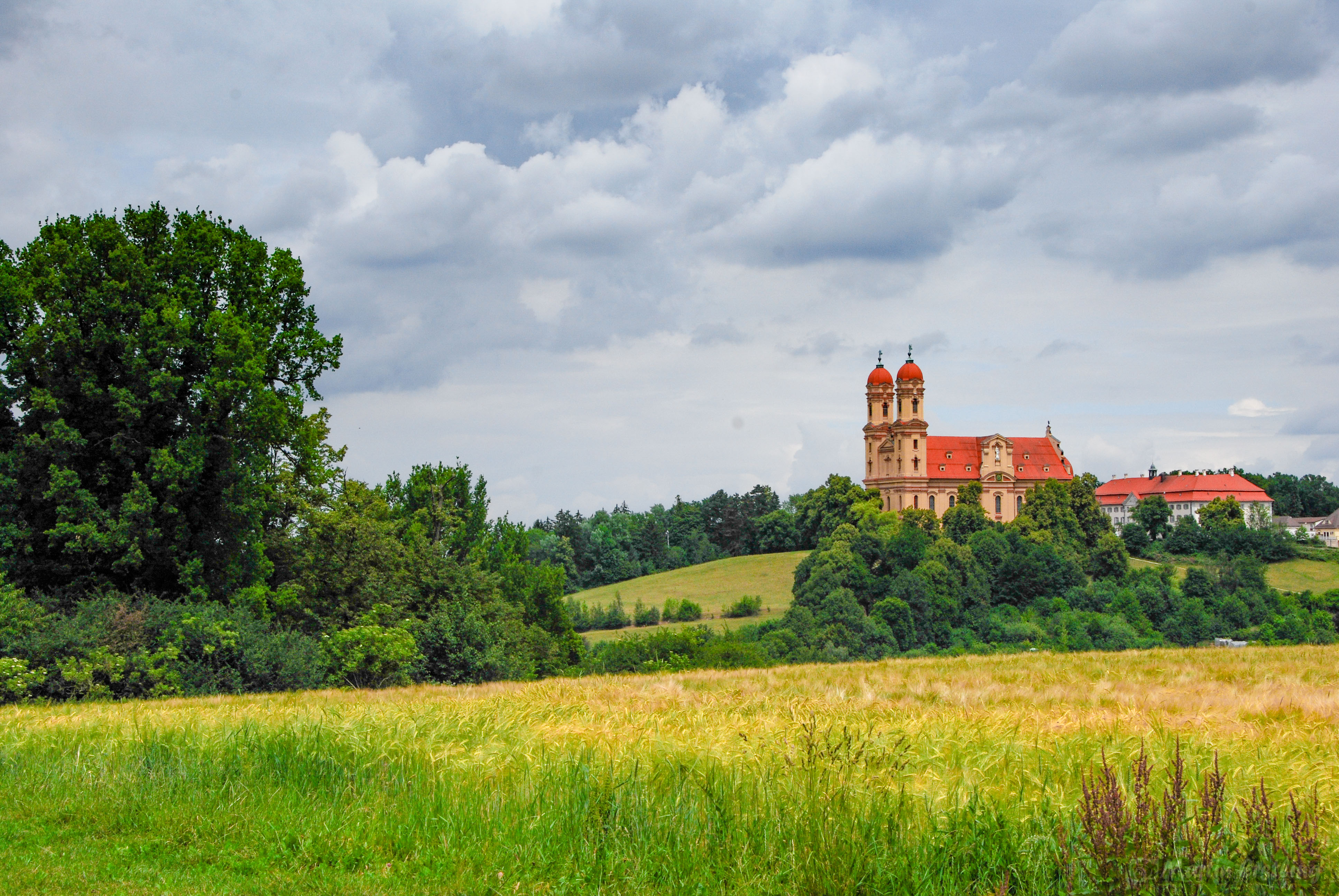
Dark clouds over the abbey

Korn Feld

Autumn Leaves in Dinkelsbühl, Germany
keep on rolling

Es herbstelt...
Topographic Map of Schüttberger Hauptstraße 15, Crailsheim, Germany
Find elevation by address:

Places near Schüttberger Hauptstraße 15, Crailsheim, Germany:
Schüttberg
Kapellenstraße 11, Stimpfach, Germany
Schwarzenhorb 9, Kreßberg, Germany
Kreßberg
Johann-heinrich-priester-str. 48
Stimpfach
Rockhalden 3, Satteldorf, Germany
Waldhornstraße 7, Crailsheim, Germany
Jagstheim
Friedhofstraße 9, Satteldorf, Germany
Am Volksfestpl. 2
Crailsheim
Satteldorf
Helmshofen
Helmshofen 9, Satteldorf, Germany
Frankenhardt
39/1
Wallhausen
Seestraße 2, Wallhausen, Germany
Schimmelhof 6, Rosenberg, Germany
Recent Searches:
- Elevation of Corso Fratelli Cairoli, 35, Macerata MC, Italy
- Elevation of Tallevast Rd, Sarasota, FL, USA
- Elevation of 4th St E, Sonoma, CA, USA
- Elevation of Black Hollow Rd, Pennsdale, PA, USA
- Elevation of Oakland Ave, Williamsport, PA, USA
- Elevation of Pedrógão Grande, Portugal
- Elevation of Klee Dr, Martinsburg, WV, USA
- Elevation of Via Roma, Pieranica CR, Italy
- Elevation of Tavkvetili Mountain, Georgia
- Elevation of Hartfords Bluff Cir, Mt Pleasant, SC, USA