Elevation of SC-9, Longs, SC, USA
| Latitude | 33.9824822 |
|---|---|
| Longitude | -78.7451928 |
| Elevation | 11m / 36feet |
| Barometric Pressure | 1012KPa |
Related Photos:
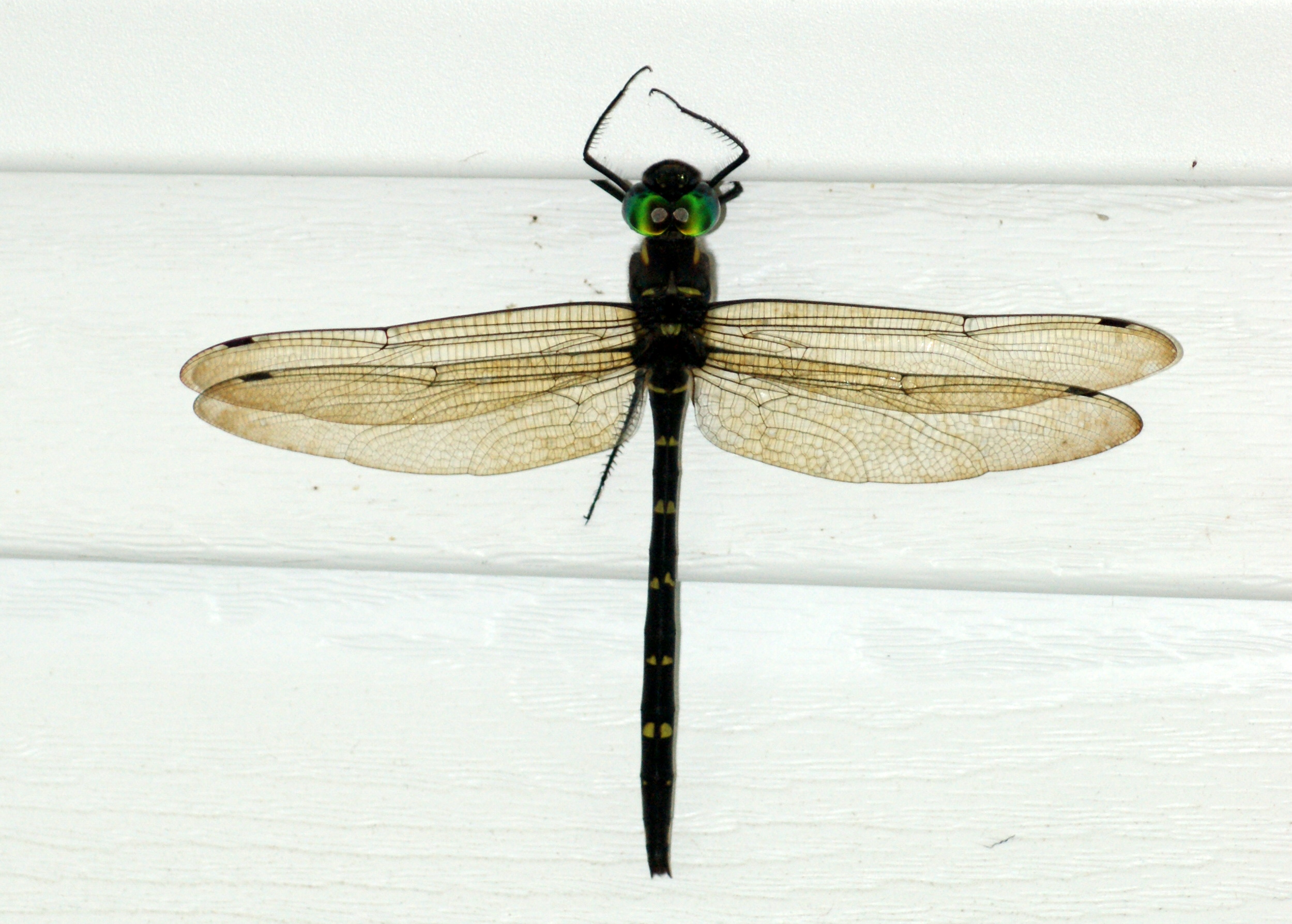
Royal River Cruiser (Macromia taeniolata), Dorsal View
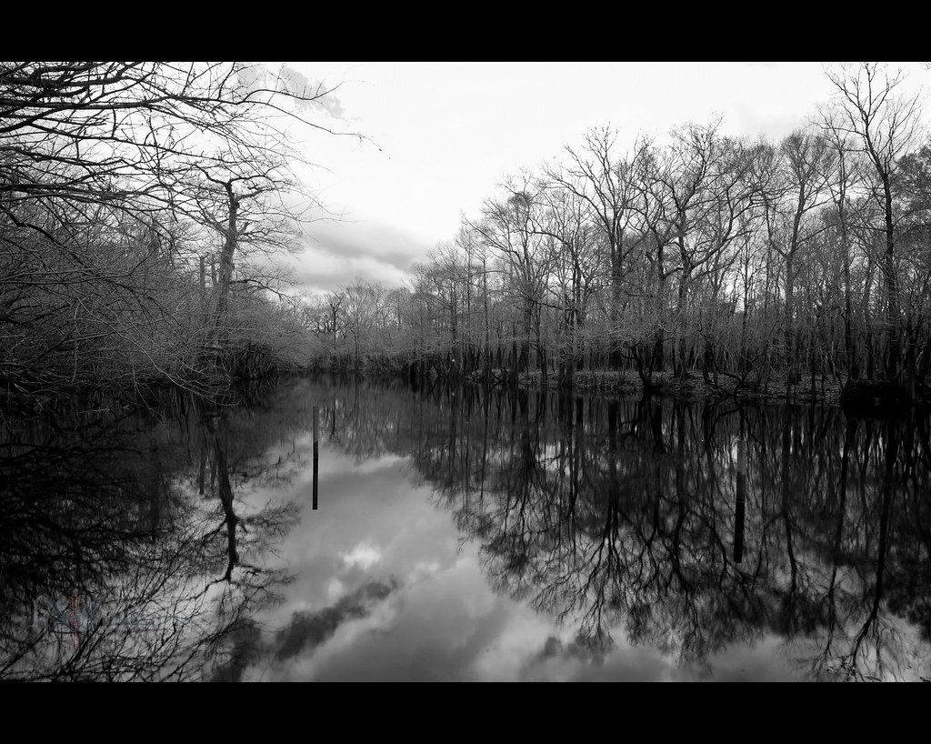
winter stillness

rusty pole
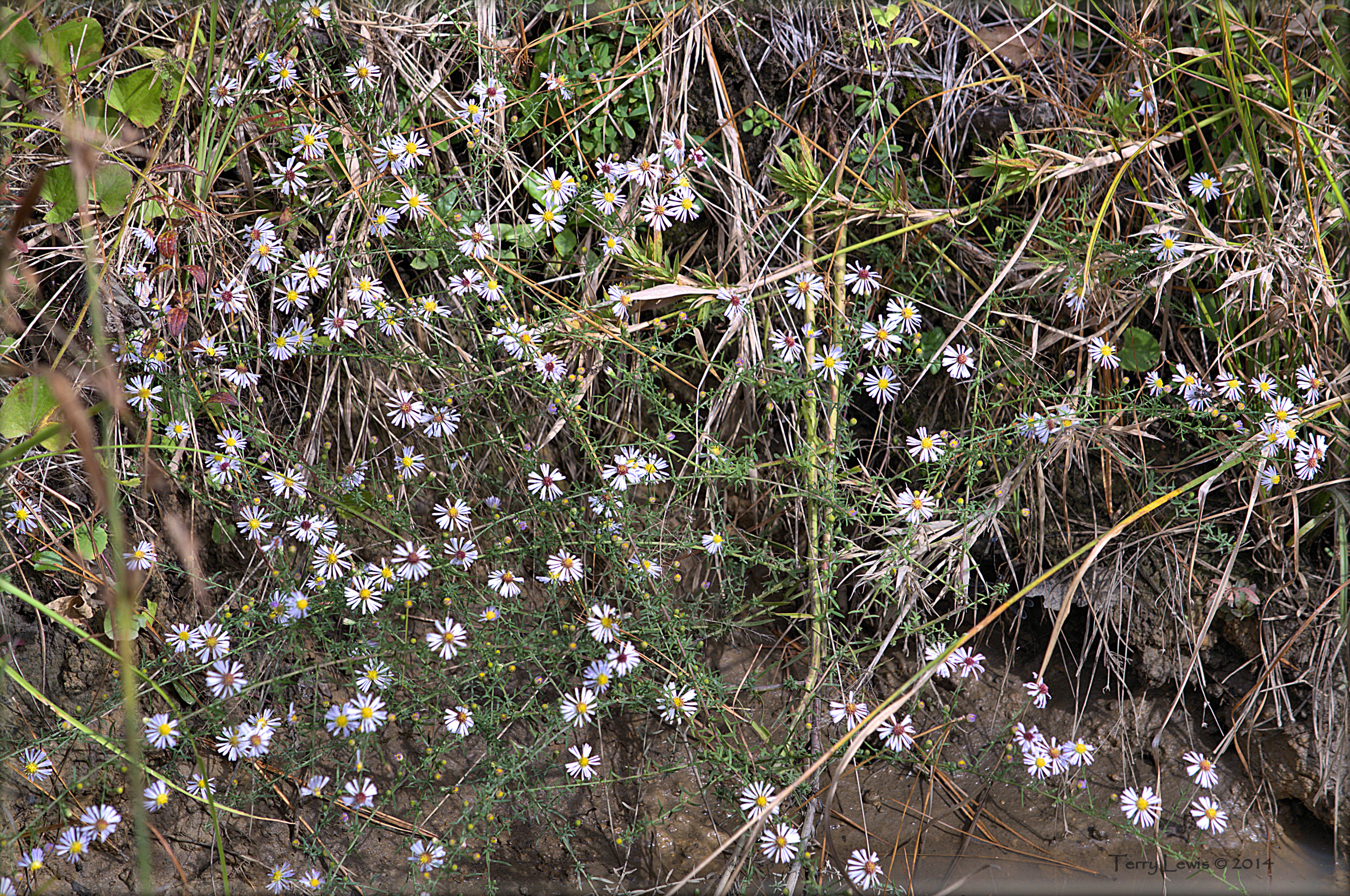
Autumn Wildflower 2
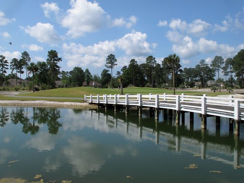
Brunswick Plantation
Brunswick Plantation
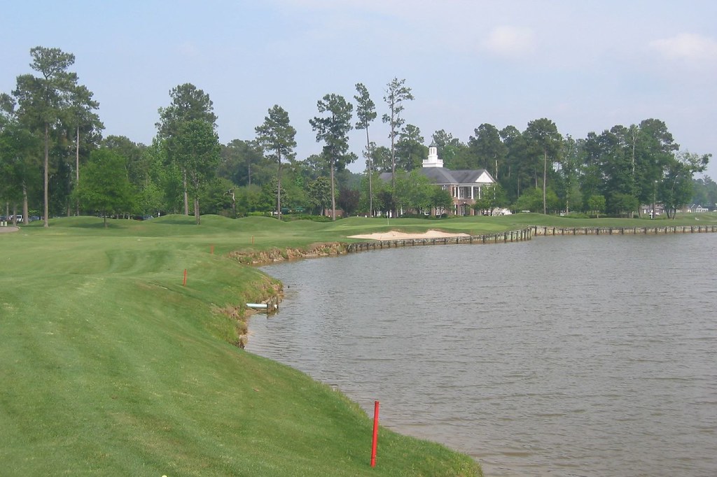
River Hills #1
River Hills

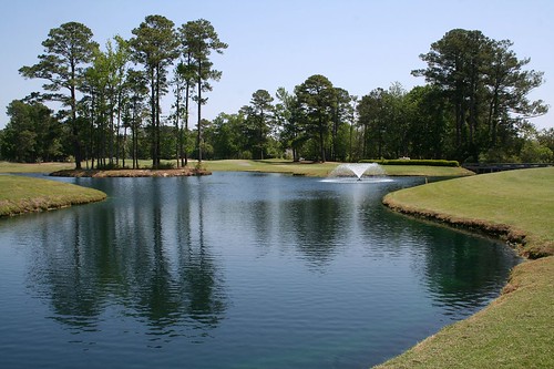
LK_20150801_0015_Edit-sm
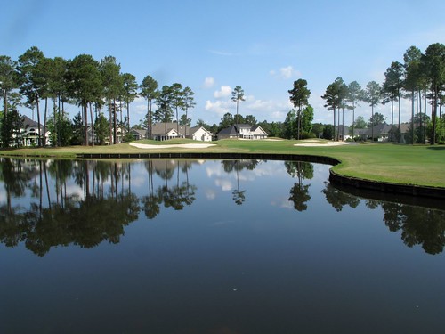
Long Bay Club #18

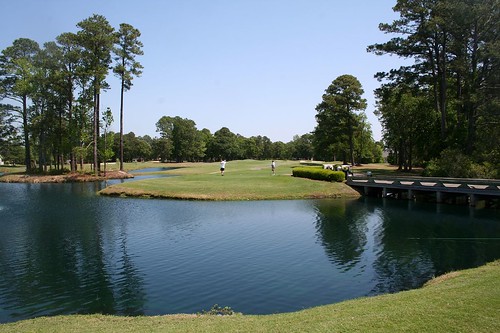
LK_20150801_0217_HDR-sm
LK_20161115_PANHDR5_HDR-sm
Topographic Map of SC-9, Longs, SC, USA
Find elevation by address:
Places near SC-9, Longs, SC, USA:
1701 Mustang Ln
1701 Mustang Ln
1630 Sc-9
1701 Lee Ln
1580 Sc-9 #3
1720 Lee Ln
1500 Sc-9
373 Harvest Moon Dr
333 Marino Trail
Napa Court
Cupola Drive
1112 Sc-9
162 Tomoka Trail
162 Tomoka Trail
3799 Old Buck Creek Rd
Long Bay Golf Course
Cat Briar Court
The Long Bay Golf Club
824 Bear Lake Dr
794 Bear Lake Dr
Recent Searches:
- Elevation of Burnt Store Village, Charlotte County, Florida, 33955, USA
- Elevation of 26552, Angelica Road, Punta Gorda, Charlotte County, Florida, 33955, USA
- Elevation of 104, Chancery Road, Middletown Township, Bucks County, Pennsylvania, 19047, USA
- Elevation of 1212, Cypress Lane, Dayton, Liberty County, Texas, 77535, USA
- Elevation map of Central Hungary, Hungary
- Elevation map of Pest, Central Hungary, Hungary
- Elevation of Pilisszentkereszt, Pest, Central Hungary, Hungary
- Elevation of Dharamkot Tahsil, Punjab, India
- Elevation of Bhinder Khurd, Dharamkot Tahsil, Punjab, India
- Elevation of 2881, Chabot Drive, San Bruno, San Mateo County, California, 94066, USA
- Elevation of 10370, West 107th Circle, Westminster, Jefferson County, Colorado, 80021, USA
- Elevation of 611, Roman Road, Old Ford, Bow, London, England, E3 2RW, United Kingdom
- Elevation of 116, Beartown Road, Underhill, Chittenden County, Vermont, 05489, USA
- Elevation of Window Rock, Colfax County, New Mexico, 87714, USA
- Elevation of 4807, Rosecroft Street, Kempsville Gardens, Virginia Beach, Virginia, 23464, USA
- Elevation map of Matawinie, Quebec, Canada
- Elevation of Sainte-Émélie-de-l'Énergie, Matawinie, Quebec, Canada
- Elevation of Rue du Pont, Sainte-Émélie-de-l'Énergie, Matawinie, Quebec, J0K2K0, Canada
- Elevation of 8, Rue de Bécancour, Blainville, Thérèse-De Blainville, Quebec, J7B1N2, Canada
- Elevation of Wilmot Court North, 163, University Avenue West, Northdale, Waterloo, Region of Waterloo, Ontario, N2L6B6, Canada