Elevation of Sayner, WI, USA
Location: United States > Wisconsin > Vilas County > Plum Lake >
Longitude: -89.532643
Latitude: 45.9860625
Elevation: 509m / 1670feet
Barometric Pressure: 95KPa
Elevation Map:
Satellite Map:
Related Photos:

Iconic Bait Shop
My beautiful view and home for tonight! Escanaba Lake Trail #backpacking #hiking #outdoors #nature #vilascounty #Wisconsin #lakes #landscape #beach #beautyinsilence #silenceisgolden #escanabalaketrail #camping #pennypix #discoverwisconsin
"May your trails be crooked, winding, lonesome, dangerous, leading to the most amazing view. May your mountains rise into and above the clouds." #takeahike #settersarebetter #hiking #vilascounty #discoverwisconsin #explorewi #exploremore #backpacking #hi
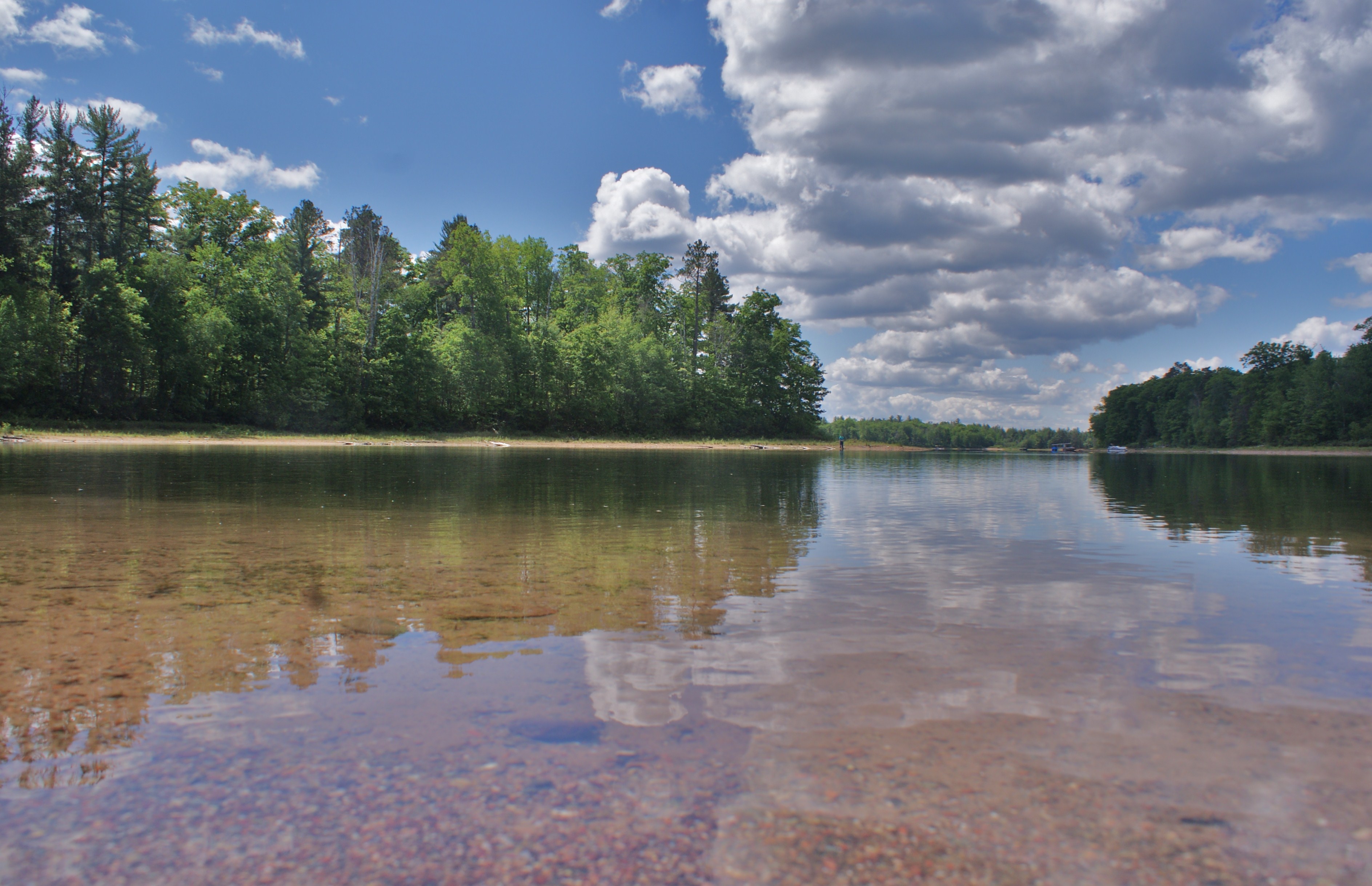
South shoreline and Island View Little St. Germain Lake, WI
Star view from the campfire

PIcture window
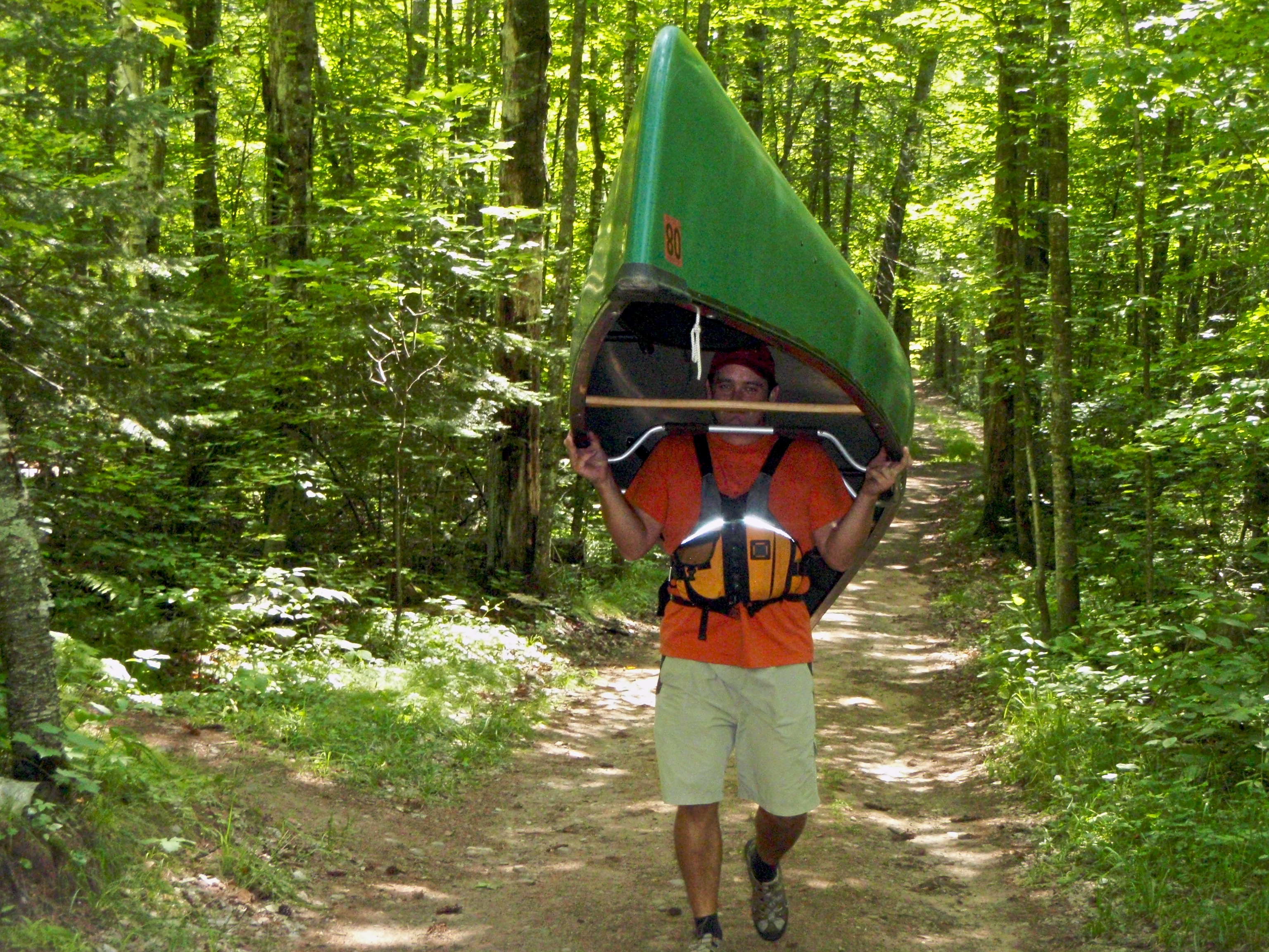
Portage!

Campsite (long view showing the picnic table and its tent)
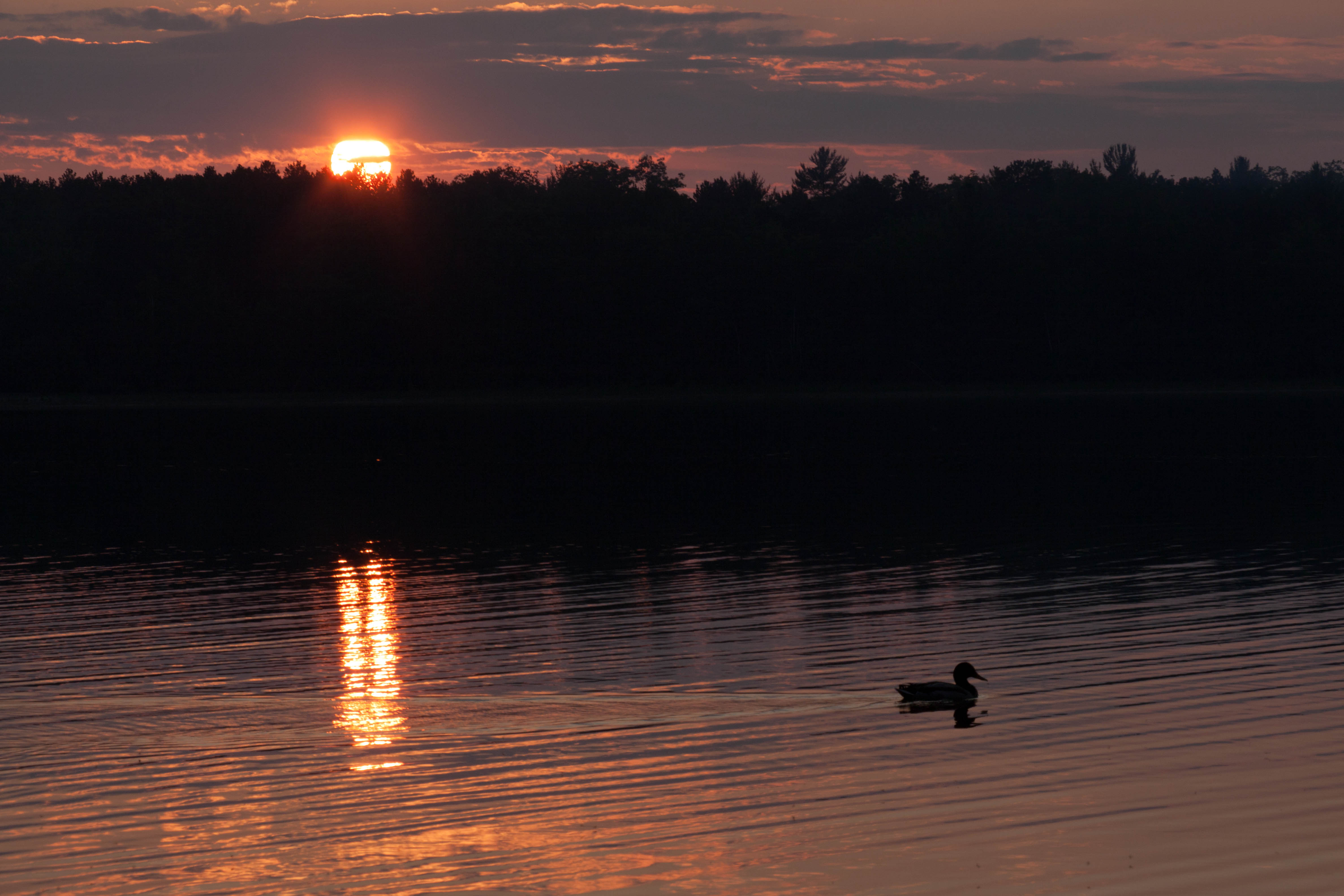
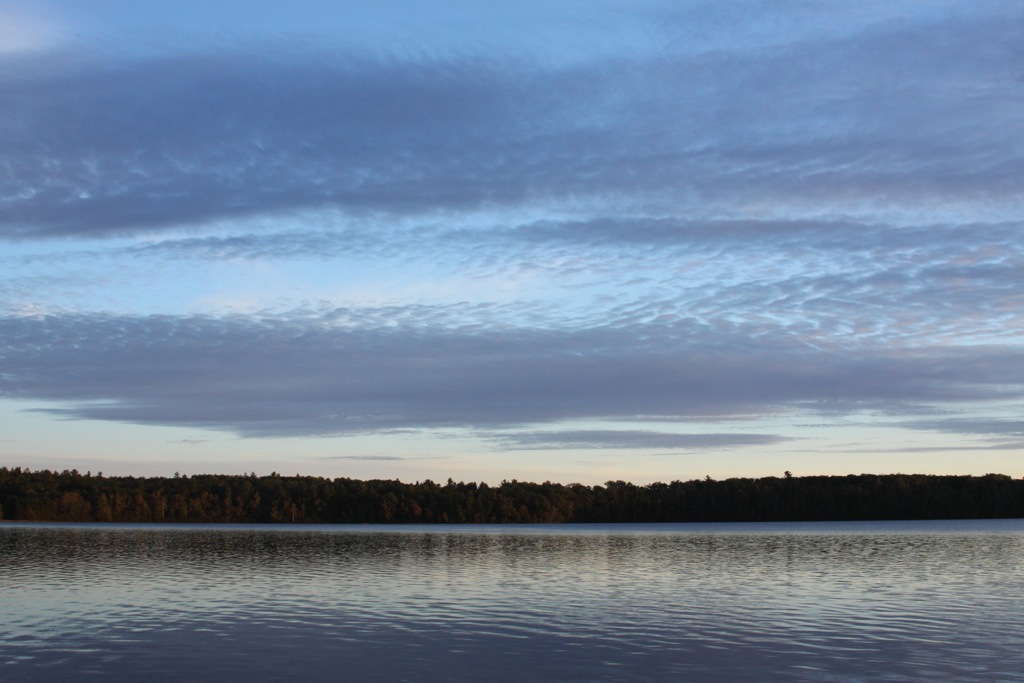
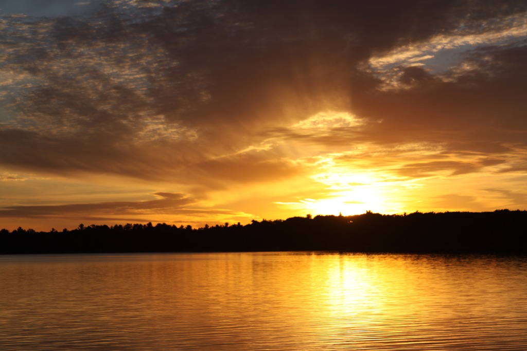
Early morning over Big Muskellunge Lake 3
Penny and I went for a new journey today. 3.5 miles later I don't know why we have never hiked here before. Varied terrain!, fields, hills, birch, and swampy pine forest all in one trail. Namaste for the journey! #hiking #explore #northwoods #wisconsin #
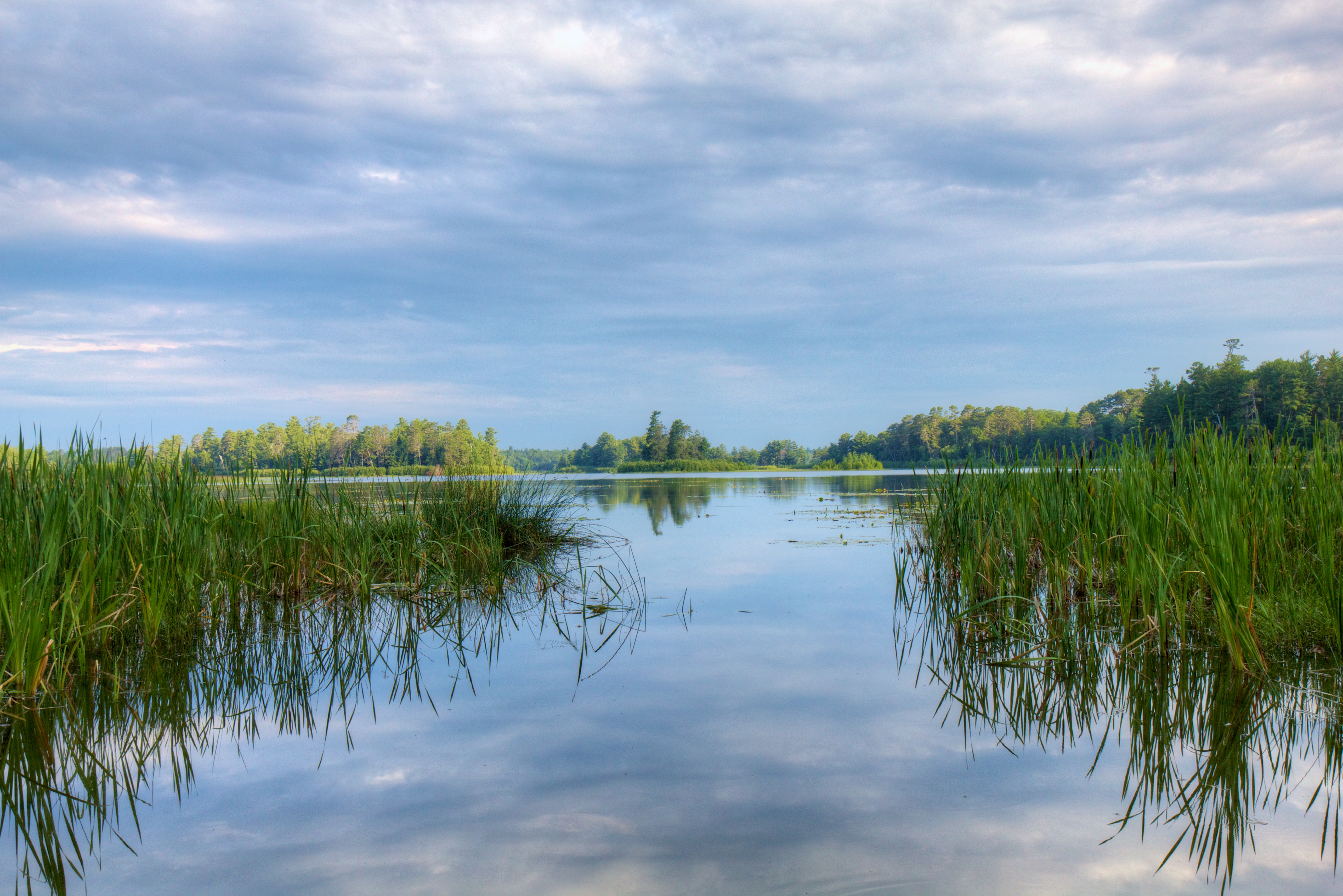
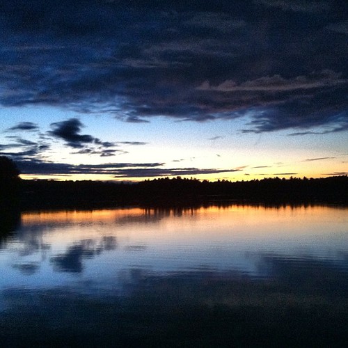
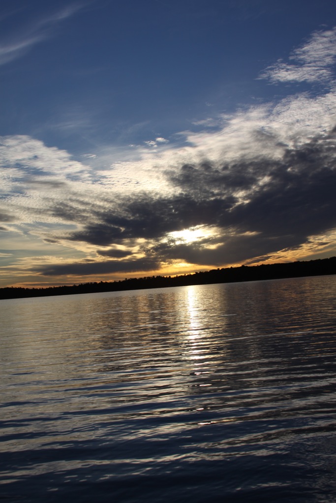
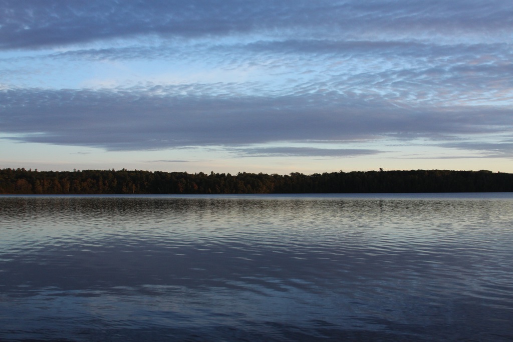
Shallow Lake Reflections

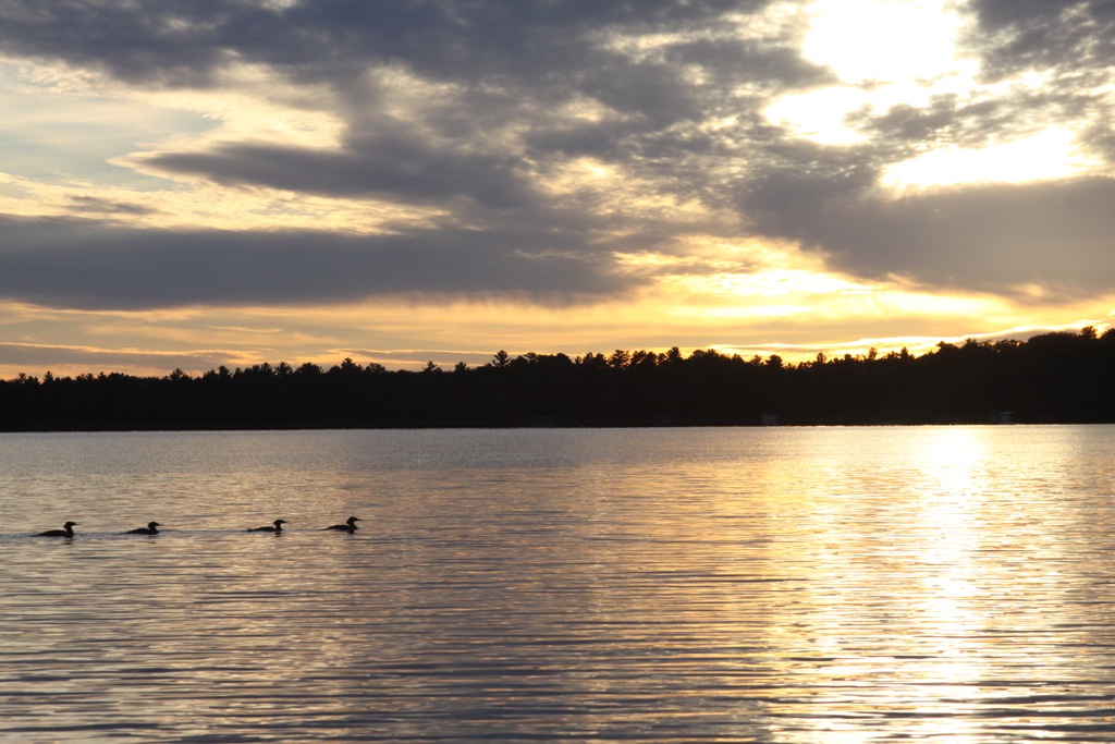
Swan 6
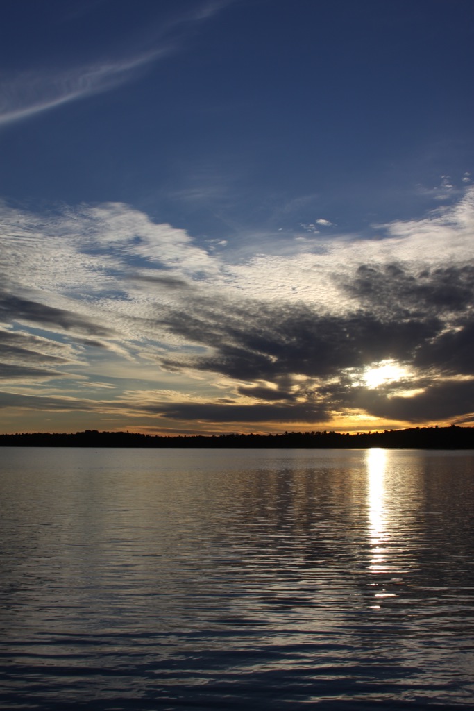
@csharlin @jpawlan @lookatthispicture #sunset #skyporn

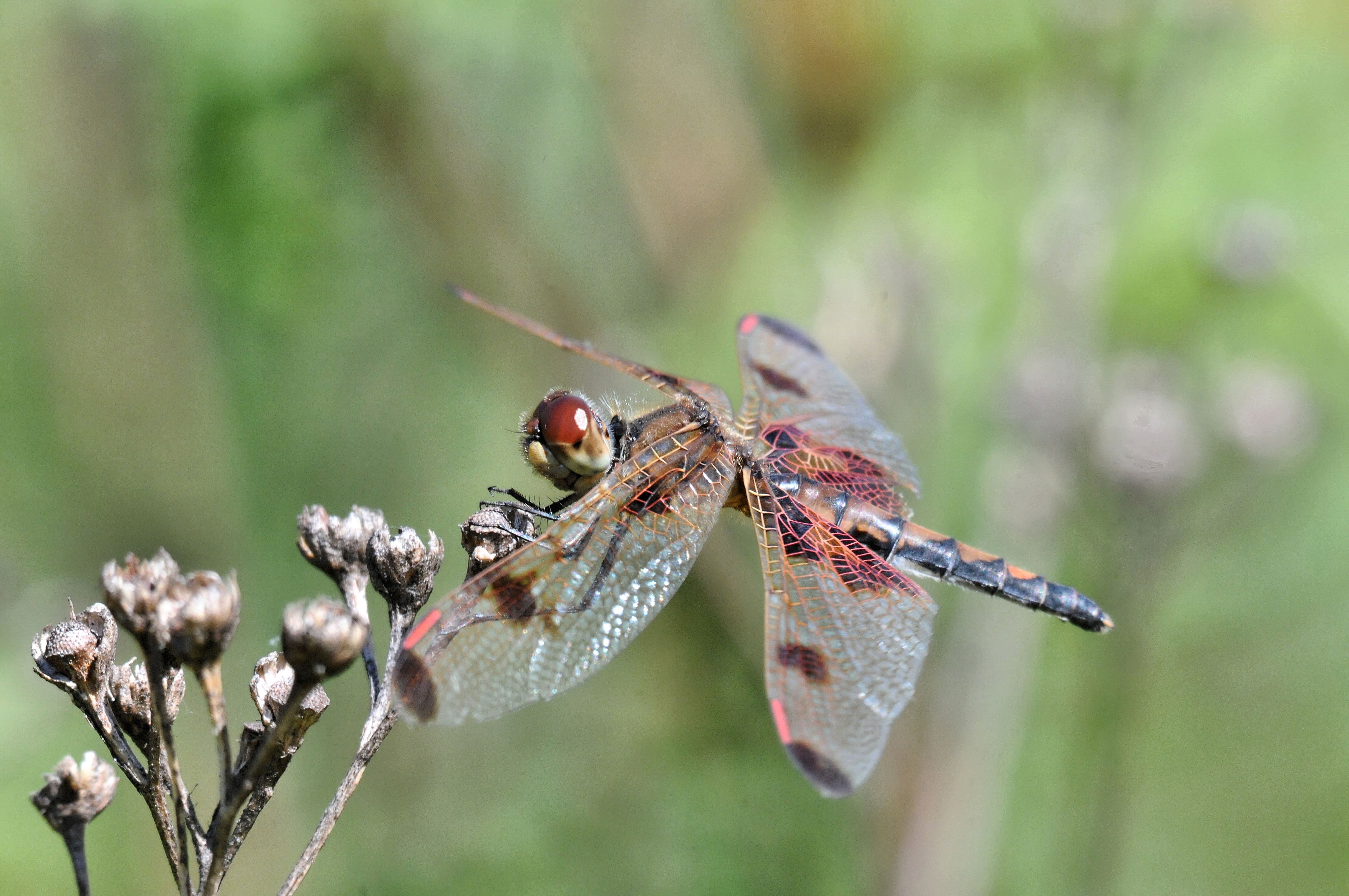
2013 Pearly Crescentspot (Phyciodes tharos) 9
1106_Crystal Lake_49.jpg
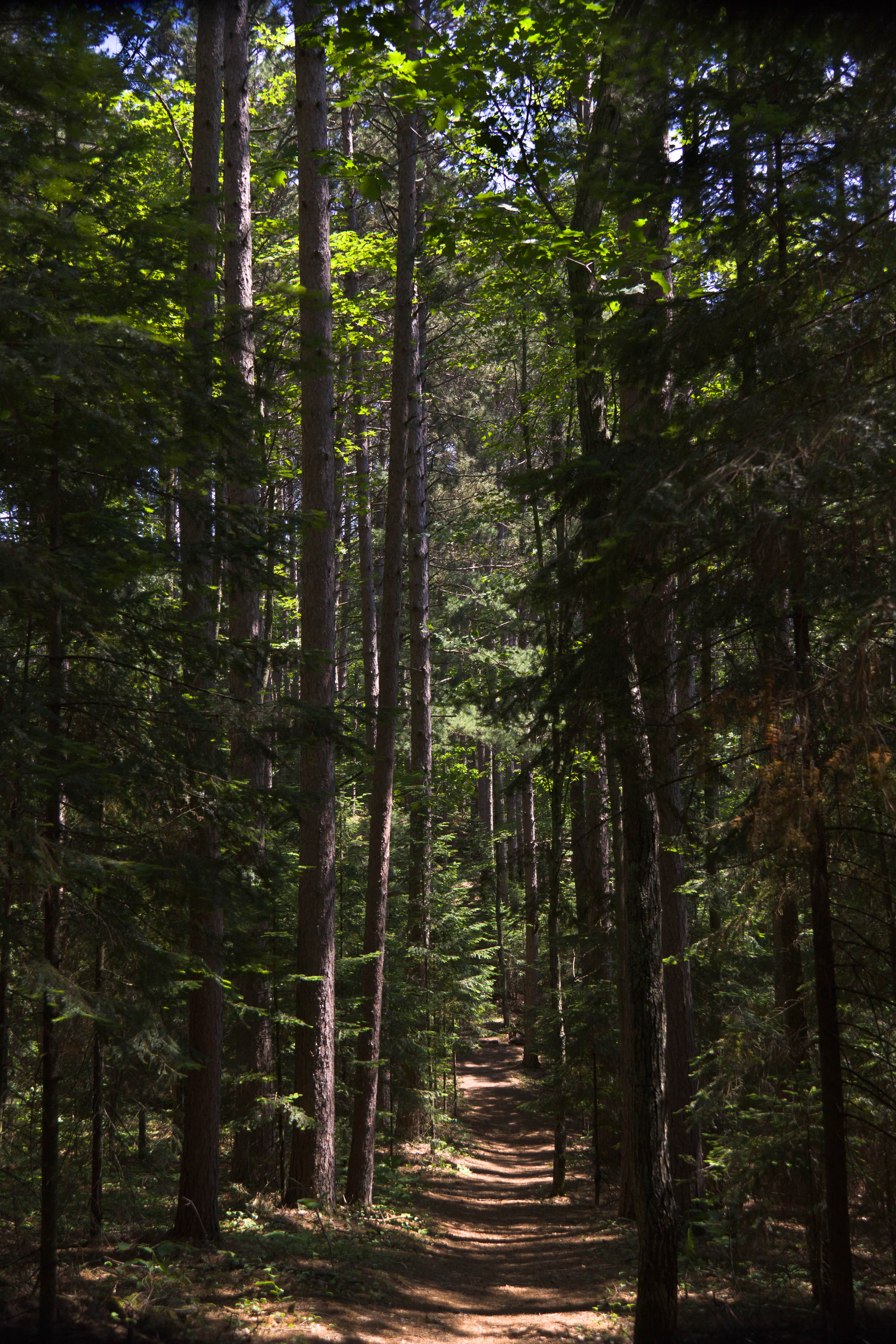
Lumberjack Trail, American Legion State Forest
Lumberjack Trail, American Legion State Forest
Lumberjack Trail, American Legion State Forest
Lumberjack Trail, American Legion State Forest
Lumberjack Trail, American Legion State Forest
2013 Calico Pennant (Celithemis elisa) 6
Lumberjack Trail, American Legion State Forest
Lumberjack Trail, American Legion State Forest
Lumberjack Trail, American Legion State Forest
Lumberjack Trail, American Legion State Forest
Lumberjack Trail, American Legion State Forest
1106_Fallison Lake_13.jpg
Topographic Map of Sayner, WI, USA
Find elevation by address:

Places near Sayner, WI, USA:
Sth, Sayner, WI, USA
United States Postal Service
2961 Fabian Dr
1730 Old Hwy C
1730 Old Hwy C Rd
St. Germain
Plum Lake
Vilas County
Co Rd K, Star Lake, WI, USA
Star Lake
Saint Germain
United States Postal Service
7265 Birchwood Dr
7018 Woodland Dr
Arbor Vitae
1487 Moon Beach Rd
Big Arbor Vitae Dr, Woodruff, WI, USA
Boulder Junction Town Hall
Woodruff
Cloverland
Recent Searches:
- Elevation of Corso Fratelli Cairoli, 35, Macerata MC, Italy
- Elevation of Tallevast Rd, Sarasota, FL, USA
- Elevation of 4th St E, Sonoma, CA, USA
- Elevation of Black Hollow Rd, Pennsdale, PA, USA
- Elevation of Oakland Ave, Williamsport, PA, USA
- Elevation of Pedrógão Grande, Portugal
- Elevation of Klee Dr, Martinsburg, WV, USA
- Elevation of Via Roma, Pieranica CR, Italy
- Elevation of Tavkvetili Mountain, Georgia
- Elevation of Hartfords Bluff Cir, Mt Pleasant, SC, USA