Elevation of Savoline Boulevard, Savoline Blvd, Milton, ON L0P, Canada
Location: Canada > Ontario > Halton Regional Municipality > Milton >
Longitude: -79.881392
Latitude: 43.4885636
Elevation: 191m / 627feet
Barometric Pressure: 99KPa
Elevation Map:
Satellite Map:
Related Photos:
First touch of the season

on a trail

morning walk

step in to a magic forest
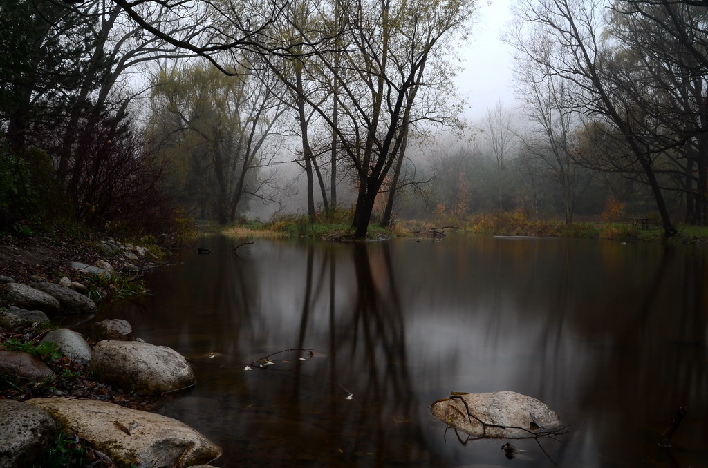
Fading Reflection

The Abyss
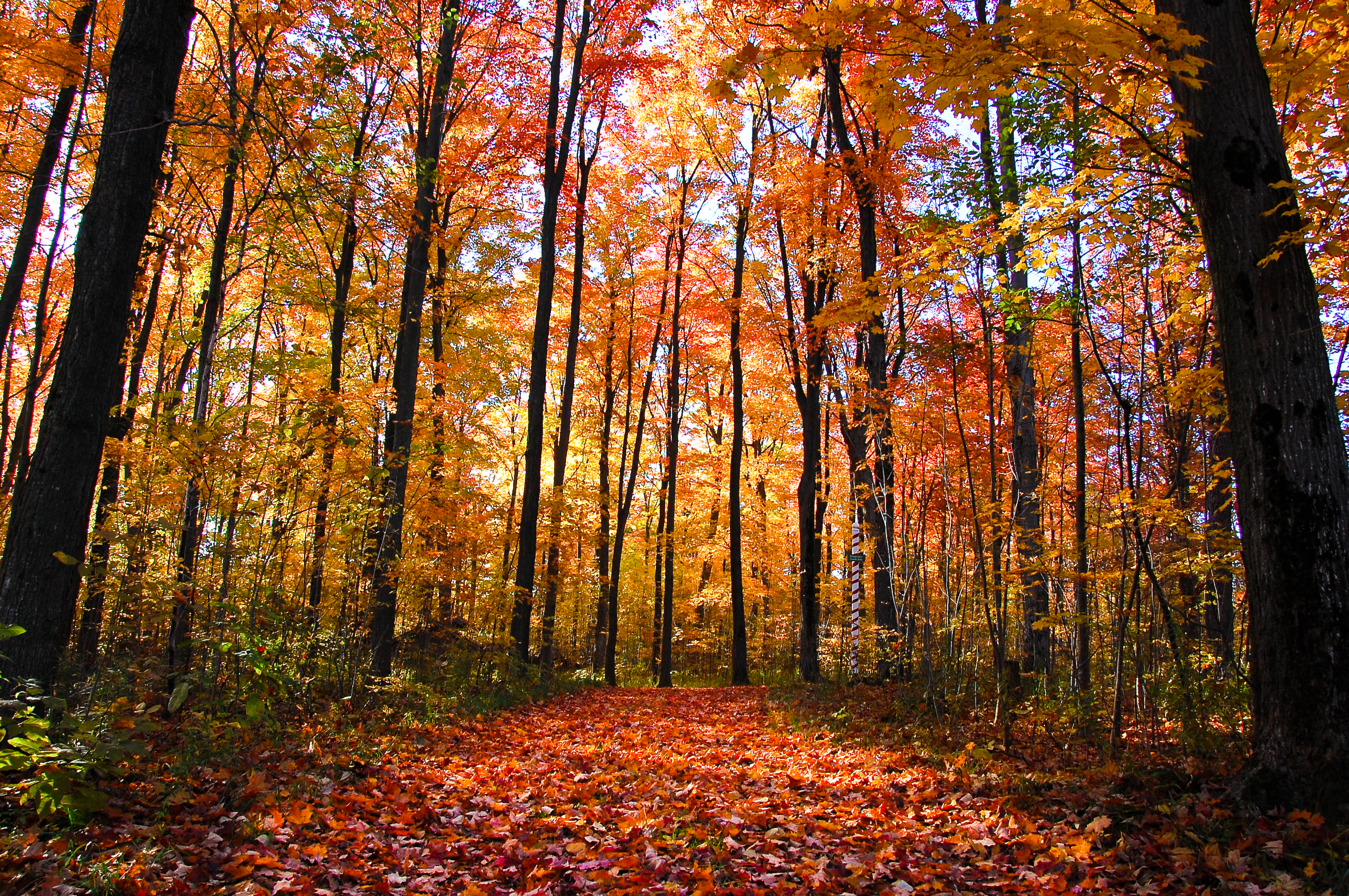
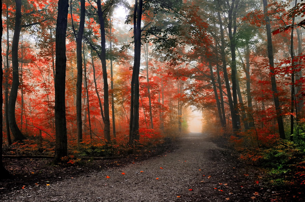
Through The Forest
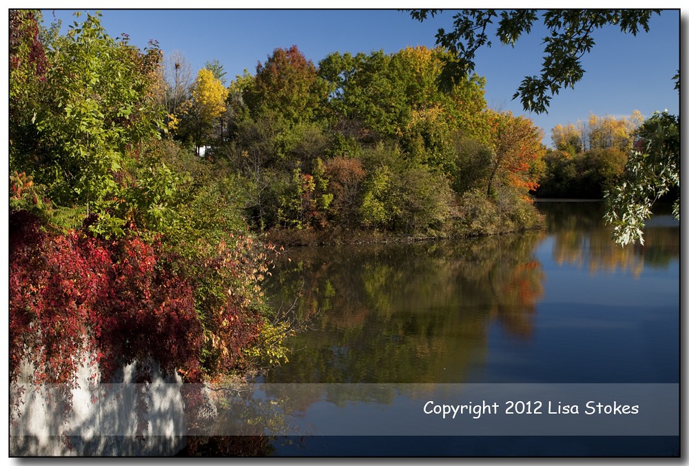
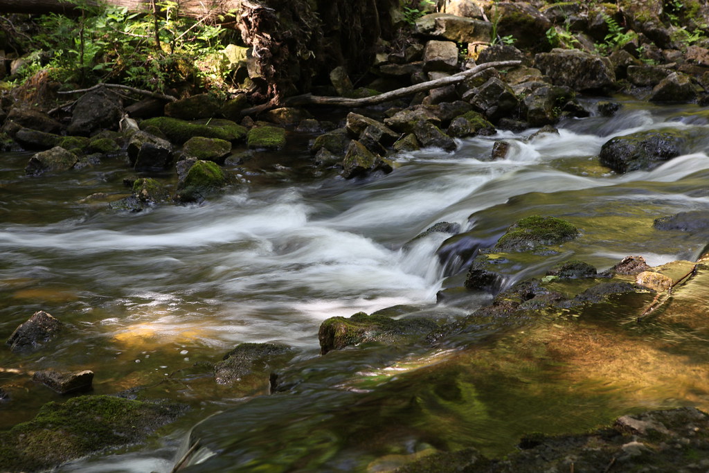
16 Mile Creek
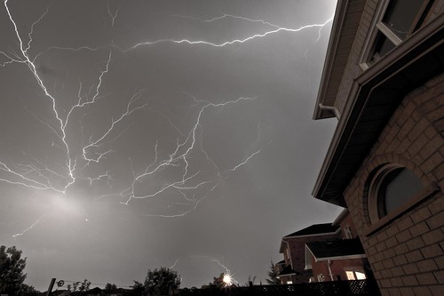
Fire in the sky

Crane Fly 2
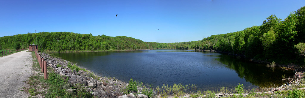
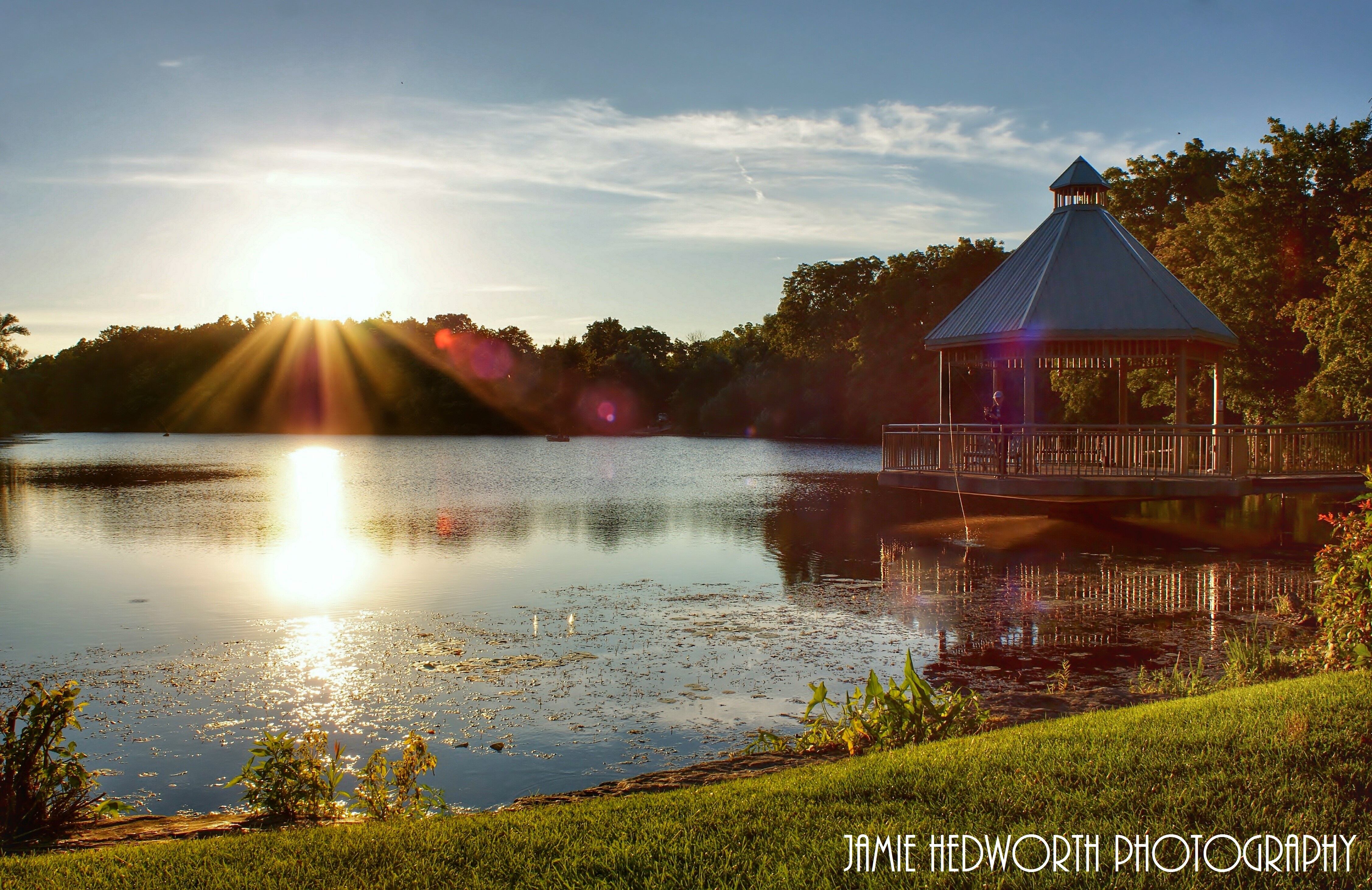
Lake Wabukayne (Thanks a Million)

Huron longhouse
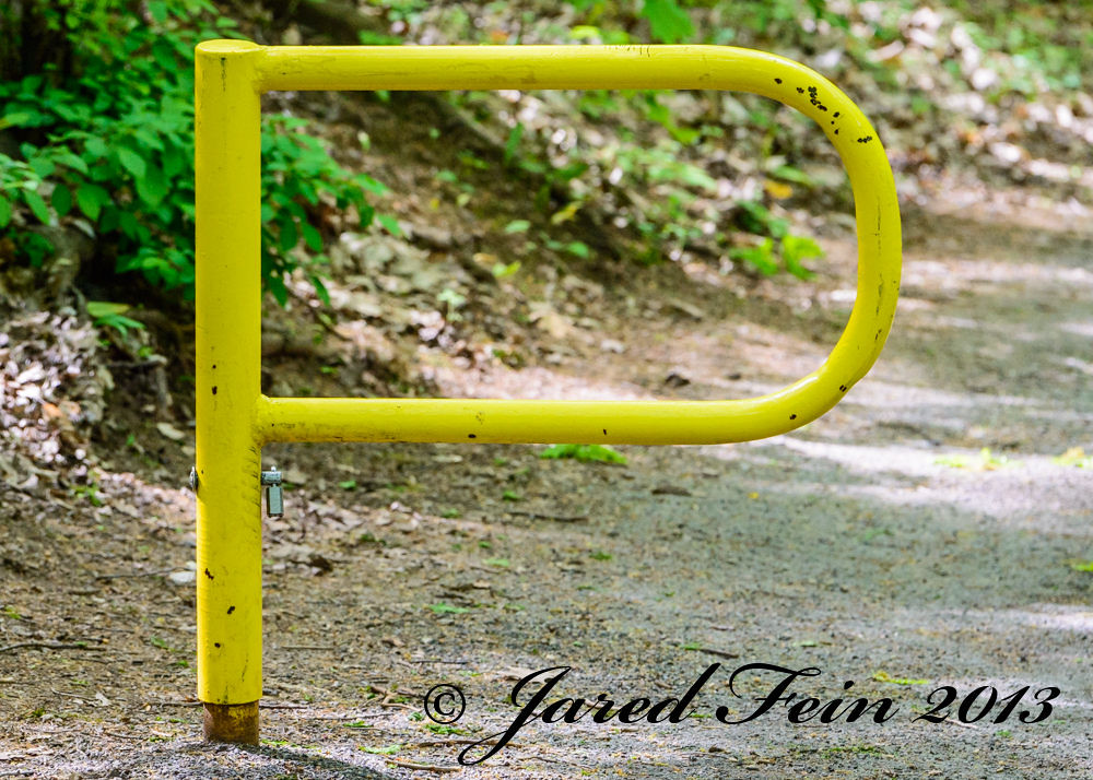
Photographic Alphabet - P

turned red

Sixteen Mile Creek
A path easily followed
foggy day cool

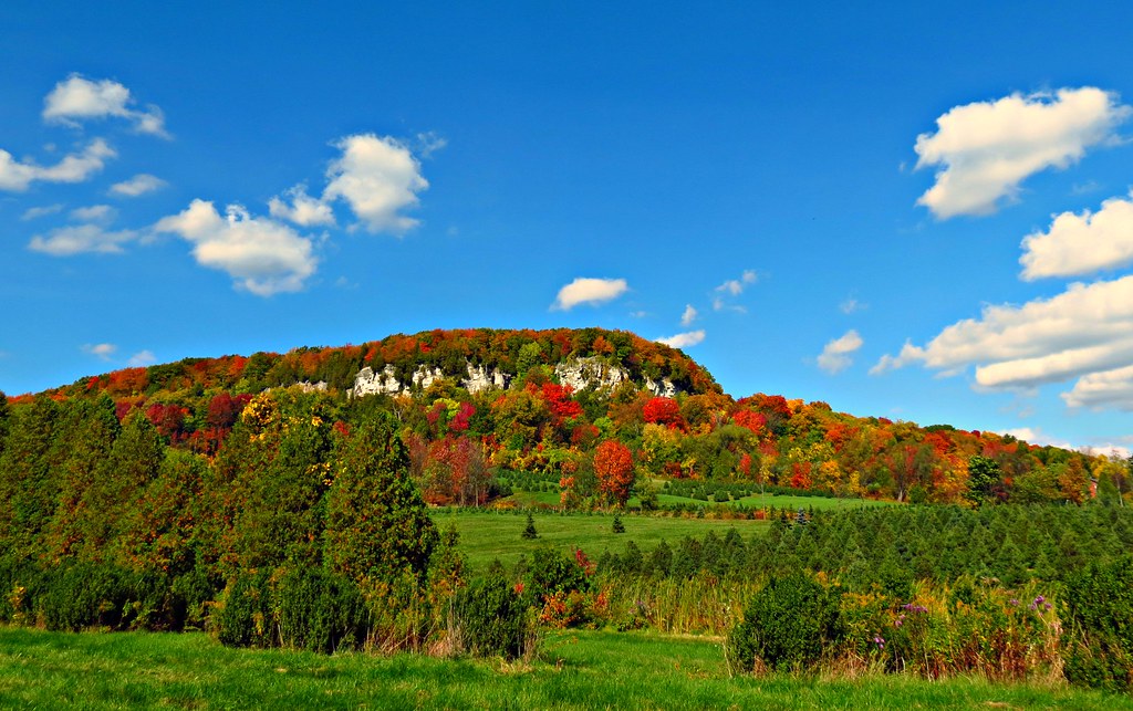
Spring at Rattlesnake Point
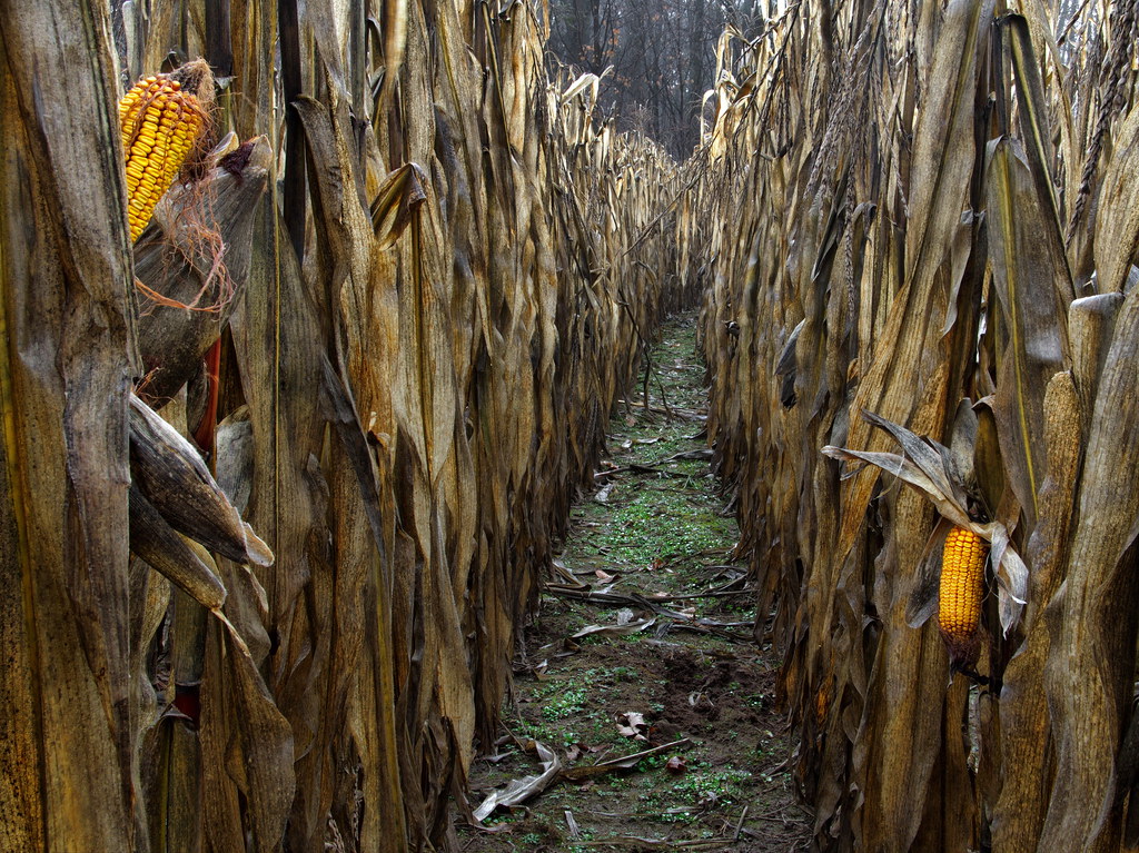
corn sweet corn
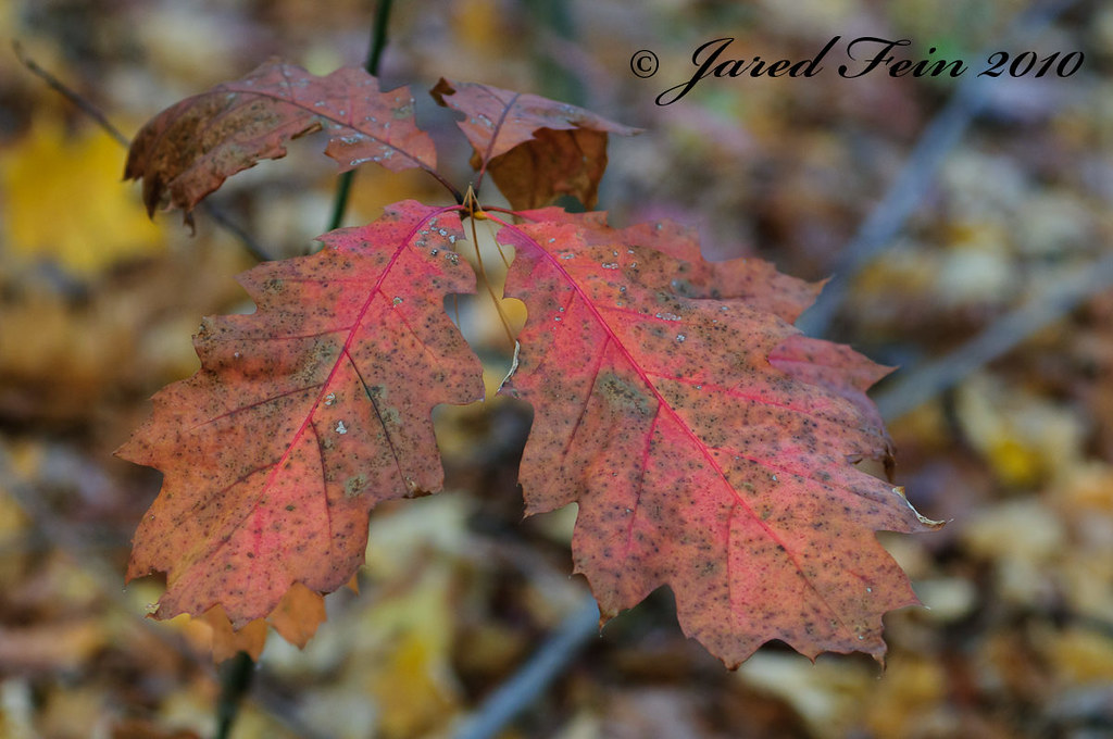
Spotted Red
This Is Just The Beginning

Movement and stillness
The Field
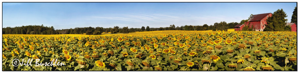
Sunflower Field Pano
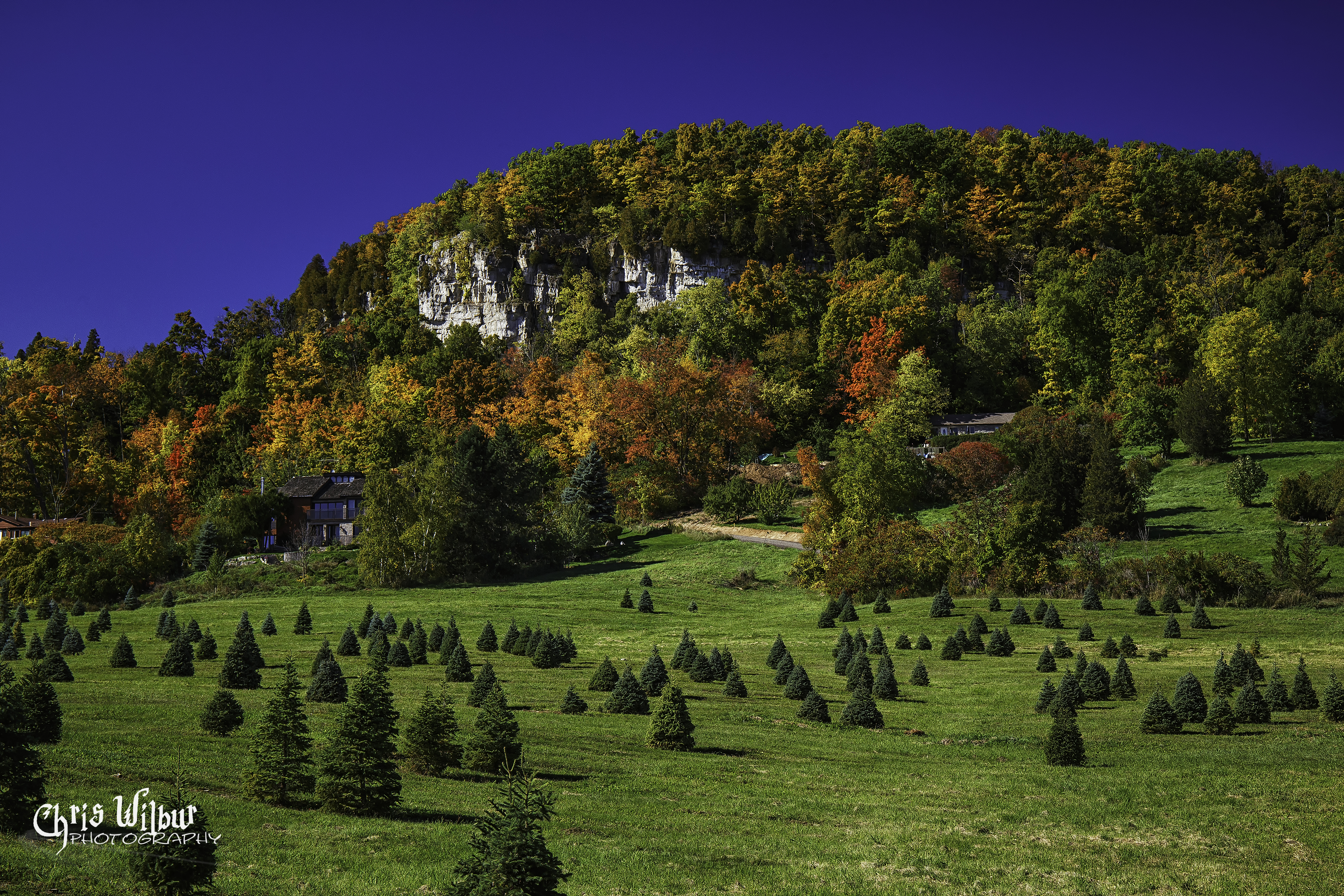
Fall at Rattlesnake Point
fall time mood (xplrd)
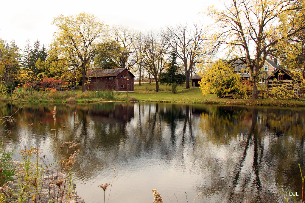
Mill Pond Sundown
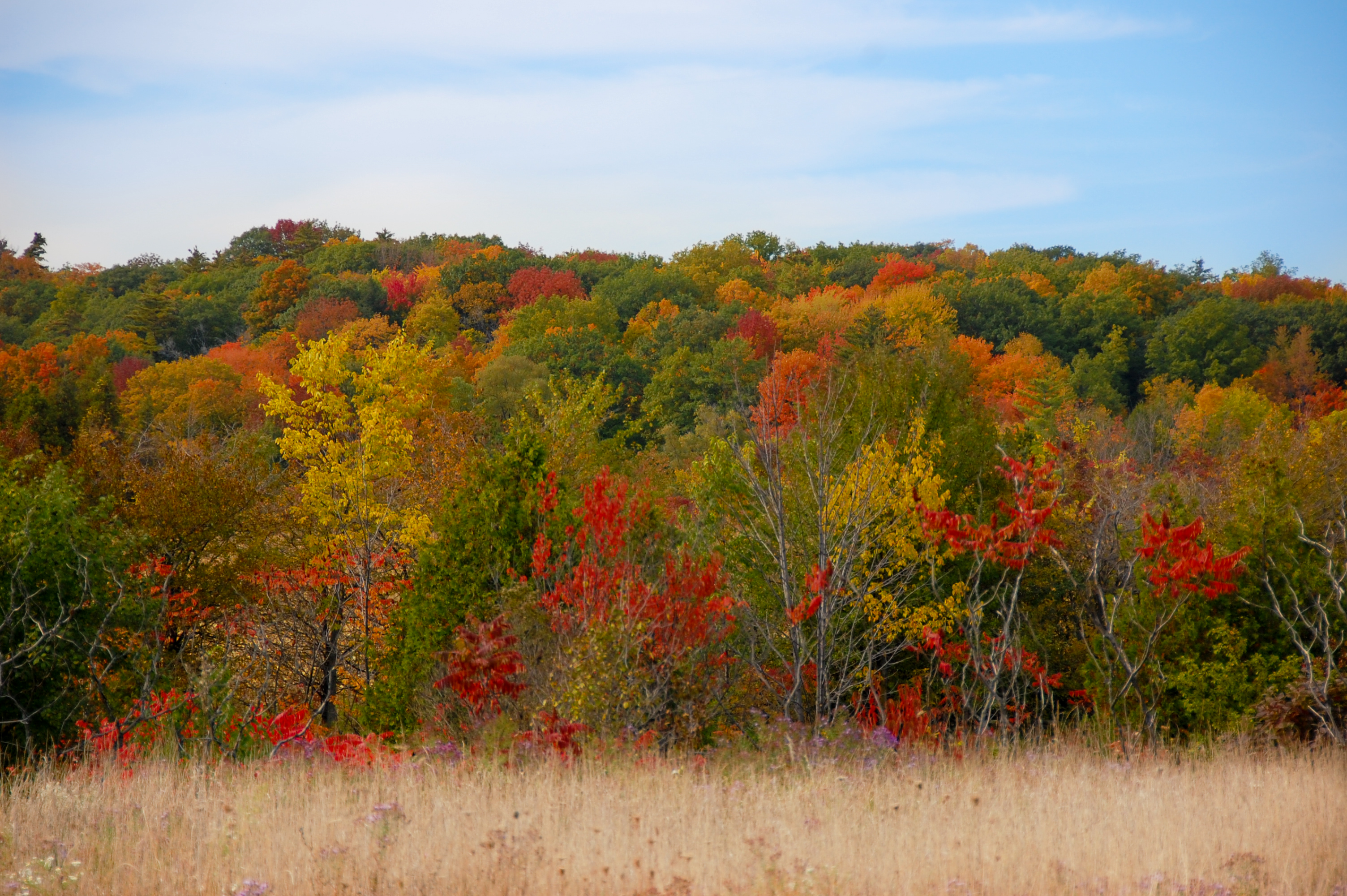
Fall Colours on Derry Road, ON

Fall, without colour
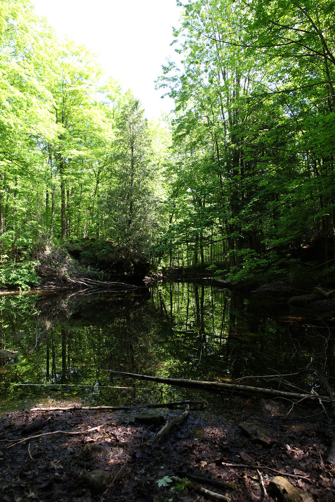
At The Forest
Kelso Conservation Area
Hilton Stream
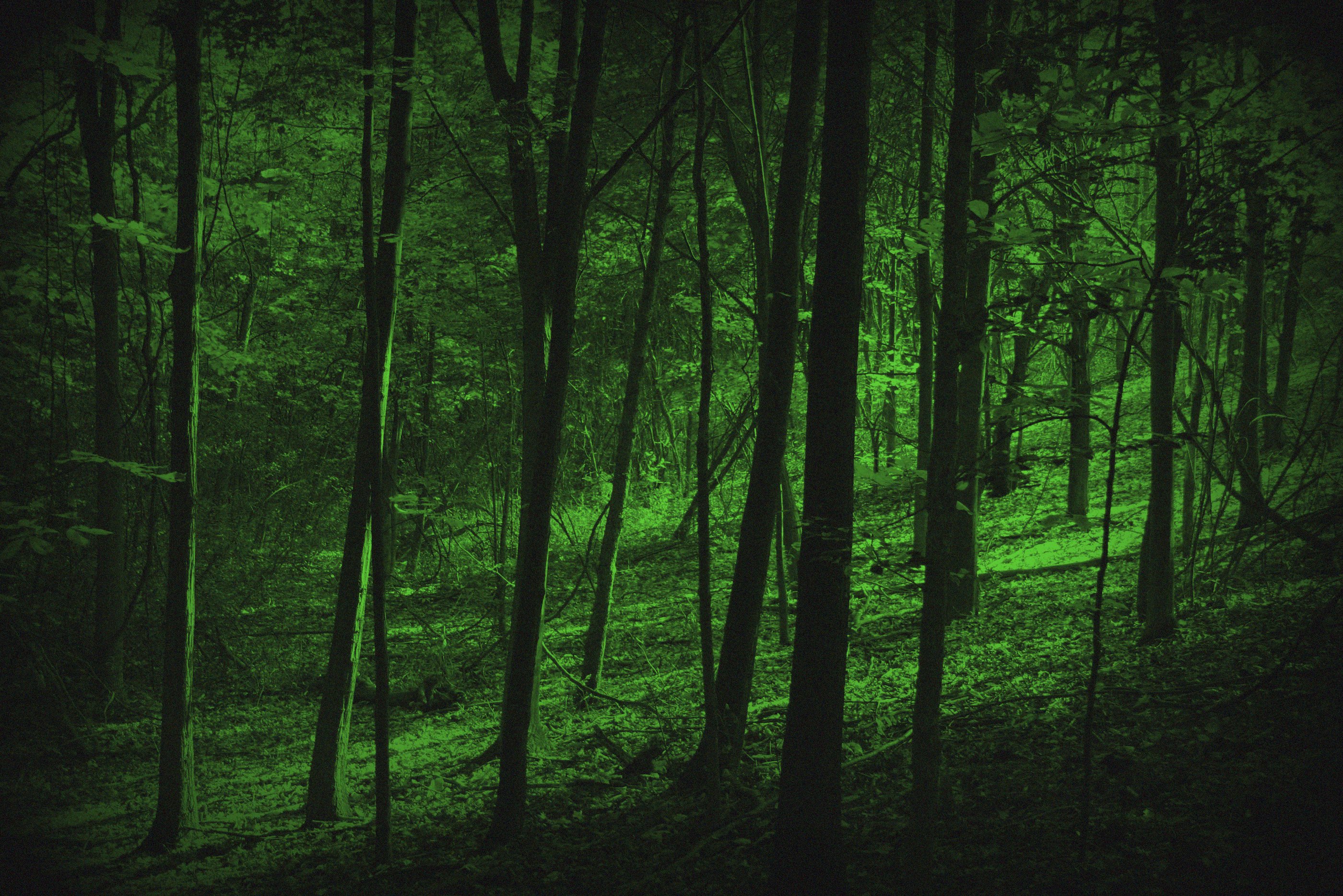
Night Vision At Kerncliff

Time to Reflect - October Autumn
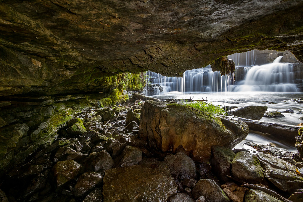
Progreston Cavern

Bronte Creek Park in Fall
Topographic Map of Savoline Boulevard, Savoline Blvd, Milton, ON L0P, Canada
Find elevation by address:

Places near Savoline Boulevard, Savoline Blvd, Milton, ON L0P, Canada:
360 Holmes Crescent
7030 Derry Rd
Willmott
5153 Derry Rd W
Milton
Rattlesnake Point Conservation Area (reservations Required)
L9t 3z3
180 Market Dr
705 Willow Ave
Halton Regional Municipality
1130 Charlton Way
1535 Gainer Cres
1535 Gainer Cres
Burlington Executive Airpark Airport
8206 Appleby Line
4337 Side Rd 4
Kelso
Southcott Drive
Appleby Line, Milton, ON L0P, Canada
8300 Macarthur Dr
Recent Searches:
- Elevation of Corso Fratelli Cairoli, 35, Macerata MC, Italy
- Elevation of Tallevast Rd, Sarasota, FL, USA
- Elevation of 4th St E, Sonoma, CA, USA
- Elevation of Black Hollow Rd, Pennsdale, PA, USA
- Elevation of Oakland Ave, Williamsport, PA, USA
- Elevation of Pedrógão Grande, Portugal
- Elevation of Klee Dr, Martinsburg, WV, USA
- Elevation of Via Roma, Pieranica CR, Italy
- Elevation of Tavkvetili Mountain, Georgia
- Elevation of Hartfords Bluff Cir, Mt Pleasant, SC, USA