Elevation of Derry Rd W, Milton, ON L9T 2Y1, Canada

Location: Canada > Ontario > Halton Regional Municipality > Milton >

Longitude: -79.900632

Latitude: 43.4715503

Elevation: 213m / 699feet

Barometric Pressure: 99KPa

Elevation Map:

elevation map of Derry Rd W, Milton, ON L9T 2Y1, Canada

Satellite Map:

Satellite map of Derry Rd W, Milton, ON L9T 2Y1, Canada

Related Photos:

sunset fab lake ontario canada reflection landscape nikon milton soe d40 cherryontop supershot golddragon platinumphoto cans2s theunforgettablepictures picturefantastic worldwidelandscapes damniwishidtakenthat
Fading Reflection
bird aves birds wildbird nature natural outside outdoors cityview park burlington tyrannidae flycatcher hike trail ontario canada
Eastern Phoebe
butterfly butterflies nature natural outside outdoors cityview burlington trail park ontario canada flickrnature
Black Swallowtail Butterfly
bird birds wildbird nature natural outside outdoors trail cityview park burlington passerellidae ontario canada canon flickrnature fantasticwildlife
Song Sparrow
flower flowers wildflower trail cityview burlington nature outdoors outside park asteraceae aster ontario canada canon closeup macro
Black-eyed Susan
wasp nothern bug bugs insect insects outside nature natural outdoors burlington cityview polistes ontario canada
Paper Wasp
burlington cityview bird birds wildbird nature outdoors outside emberizidae passeriformes aves ontario canada
Song Sparrow
autumn trees ontario canada color colour fall leaves landscape nikon path conservation area mountsberg d40 explored cans2s mountsbergconservationarea
A path easily followed
ontario canada burlington waterdown bird birds wildbird sparrow
Field Sparrow with dinner
Smokey Hollow Waterfall, Hamilton, Ontario, Canada.
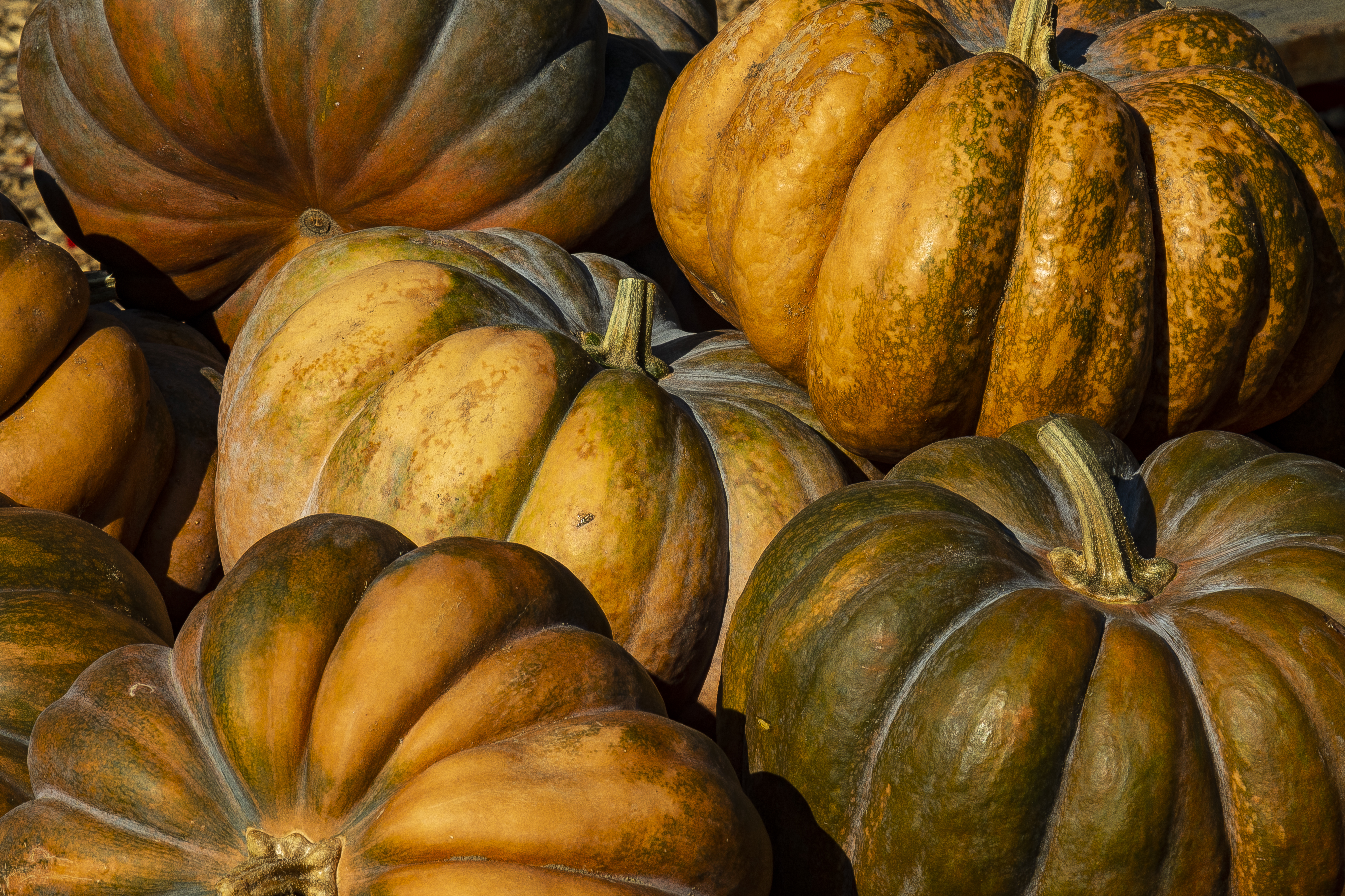
Green and Orange Pumpkins at Springridge Farm, Halton, Ontario, Canada.
River flow and small cascades near Smokey Hollow Waterfall, Hamilton, Ontario, Canada.
autumn lake colour reflection fall water leaves pond nikon conservation area mountsberg d40 explored cans2s mountsbergconservationarea
The Abyss
ontario canada burlington waterdown bird birds wildbird
Spotted Sandpiper (Actitus macularia)
Which to choose? Pumpkins at Springridge Farm, Halton, Ontario, Canada.
autumn ontario canada fall fog burlington forest haze mood nemo can foliage escarpment brucetrail photolife burlingtonnorth mygearandme
turned red
theparsonageforthelowvillemethodistchurch 6006guelphline burlington ontario canada heritageburlington heritageburlingtonindividualdesignationofpropertymunicipal
The Parsonage for the Lowville Methodist Church, Heritage Burlington (Individual Designation of Property-Municipal), 6006 Guelph Line, Burlington, ON
Smokey Hollow waterfalls and cascades, Hamilton, Ontario, Canada
thomascollinghouse walnutgrovefarm heritageburlington heritageburlingtonindividualrecognitionofpropertymunicipal 6042guelphline burlington ontario canada
Thomas Colling House, Walnut Grove Farm, Heritage Burlington (Individual Recognition of Property-Municipal), 6042 Guelph Line, Burlington, ON
annieandchristopherrichardsonfarm 5781walkersline burlington ontario canada heritageburlington heritageburlingtonindividualrecognitionofpropertymunicipal
The Annie and Christopher Richardson Farm, 5781 Walkers Line, Heritage Burlington (Individual Recognition of Property-Municipal), Burlington, ON
road blue panorama ontario canada green nature canon landscape geotagged scenery perspective hilton can falls reservoir photomerge milton luk fionn halton hiltonfallsreservoir 5dmarkii darbyville fionnluk geo:lat=4350912333 geo:lon=7996145500
This Is Just The Beginning
autumn ontario canada fall water river flow waterfall high long exposure december power slow great hamilton niagara falls southern shutter smokey boundary hollow escarpment waterdown
Great Smokey Hollow
explored fall autumn colour color leaves cans2s nikon d40 ontario canada landscape
The Field
winter landscape glazed ontario sunset burlington iced trees
glazed course
ontario canada speed creek river waterfall long exposure slow hamilton falls rapids shutter smokey hollow grindstone waterdown
Smokey Hollow
autumn mist ontario canada mood can foliage conservationarea brucetrail burlingtonnorth flickrstruereflection1 flickrstruereflection2 flickrstruereflection3 flickrstruereflection4 nemomountain
on a trail
autumn ontario canada sky color blue colour fall season niagara cliff point area environment seasons conservation rattlesnake milton escarpment
Fall at Rattlesnake Point
autumn people dog ontario canada fall fog walking can foliage ruby3 burlingtonnorth mygearandme flickrstruereflection1 mountnemoconservation
morning walk
Don't Ever Tear Me Up (1)
autumn red ontario canada fall fog burlington forest maple mood magic foliage bfg brucetrail gettycollection rememberthatmomentlevel4 rememberthatmomentlevel1 rememberthatmomentlevel2 rememberthatmomentlevel3 besteverdigitalphotography
step in to a magic forest
millcroftneighbourhood 2155countryclubdrive burlington ontario canada
Millcroft, 2155 Country Club Drive and Upper Middle Road, Burlington, ON
railroad sunset lake canada texture water train photography railway trains canadianpacific railfan goldenhour railroading intermodal cefx codeline canon7d mountsbergreservoir galtsubdivision
Waist Deep
morning autumn trees ontario canada fall fog forest nemo can trail lane explored burlingtonnorth
fall time mood (xplrd)
millpondinautumn millpond milton ontario canada water reflection autumncolours autumn fallcolours fall canon5dmarkiii 2470mmf28lii leefilters longexposure 107seconds sky cloud landscape lifeng
Mill Pond in Autumn
flowers trees wild summer sky plants ontario canada green nature barn flora nikon natural hamilton explore sunflowers d300 flamborough nikonlens nikond300
Sea of Sunflowers
autumn sony colourful milton 2013 sanassis
Beautiful Autumn Colours! EXPLORED 8/11/2013
autum fall mount nemo bruce trail ontatio 93793499n00 volume9
Mount Nemo Fall 2018 - 10
railroad ontario canada train railway milton canadiannational freighttrain selectivecolour niagaraescarpment cntrain sonydslra390 jamiehedworthphotography
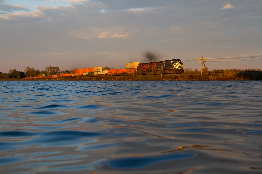
Escarpment Railway Landscape
toronto ontario canada water canon geotagged photography photo waterfall stream exposure mark picture hilton can falls ii 5d milton luk fionn halton darbyville geo:lat=4351019833 geo:lon=7997863333
Hilton Stream