Elevation of Sauran, Kazakhstan
Location: Kazakhstan > South Kazakhstan Region > Turkestan >
Longitude: 67.9268161
Latitude: 43.4350199
Elevation: 214m / 702feet
Barometric Pressure: 99KPa
Elevation Map:
Satellite Map:
Related Photos:

Sauran Fortress, KZ
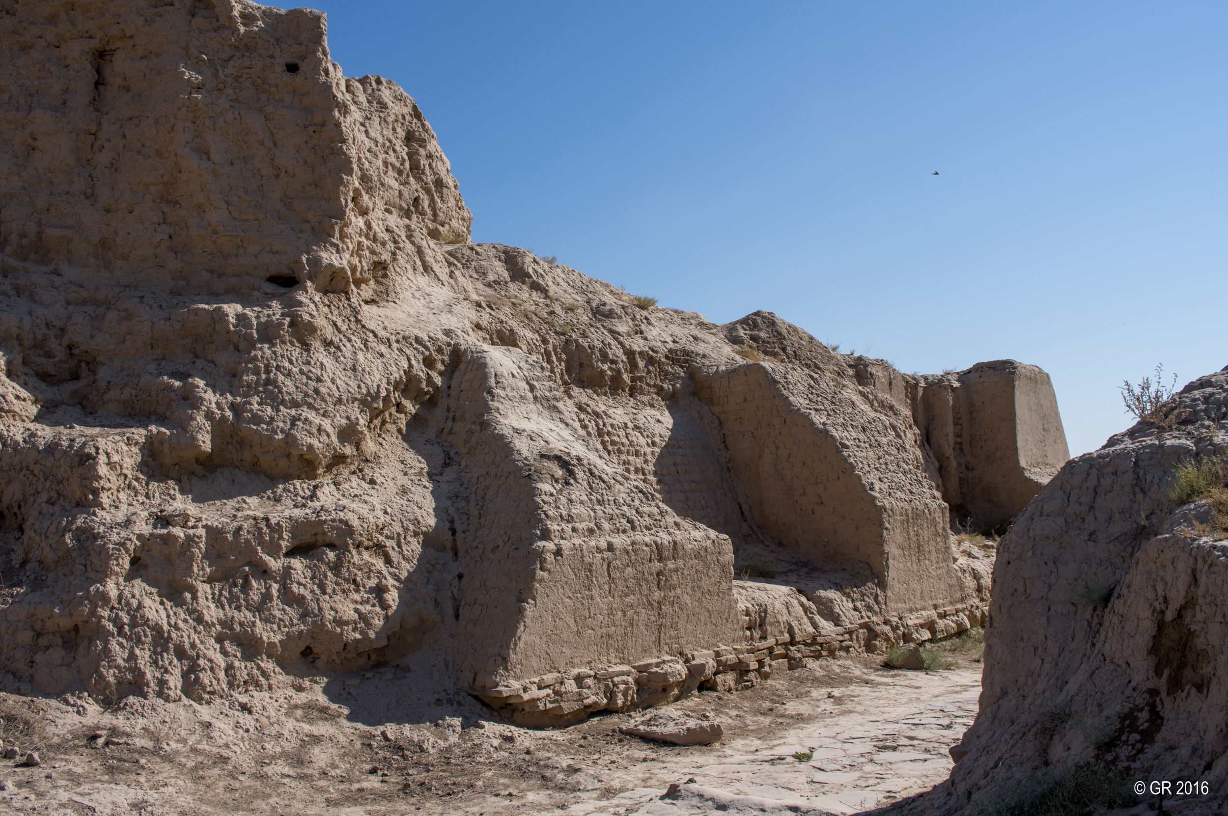
Sauran Fortress, KZ

Sauran Fortress, KZ

Sauran Fortress, KZ

Sauran Fortress, KZ

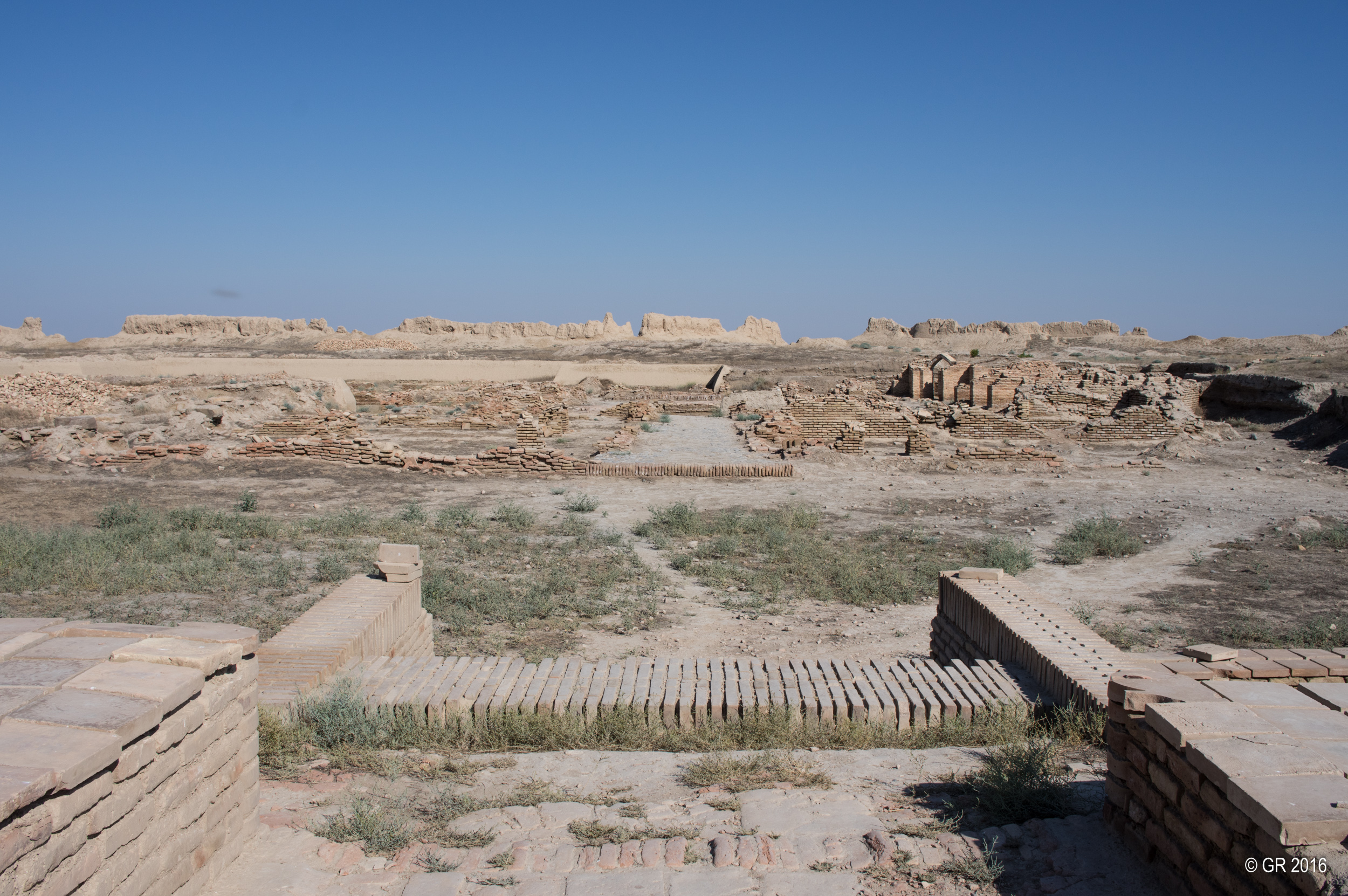
Kazakhstan: Sauran, Former capital of the Mongol White Horde on the Silkroad

Kazakhstan: Sauran, Former capital of the Mongol White Horde on the Silkroad
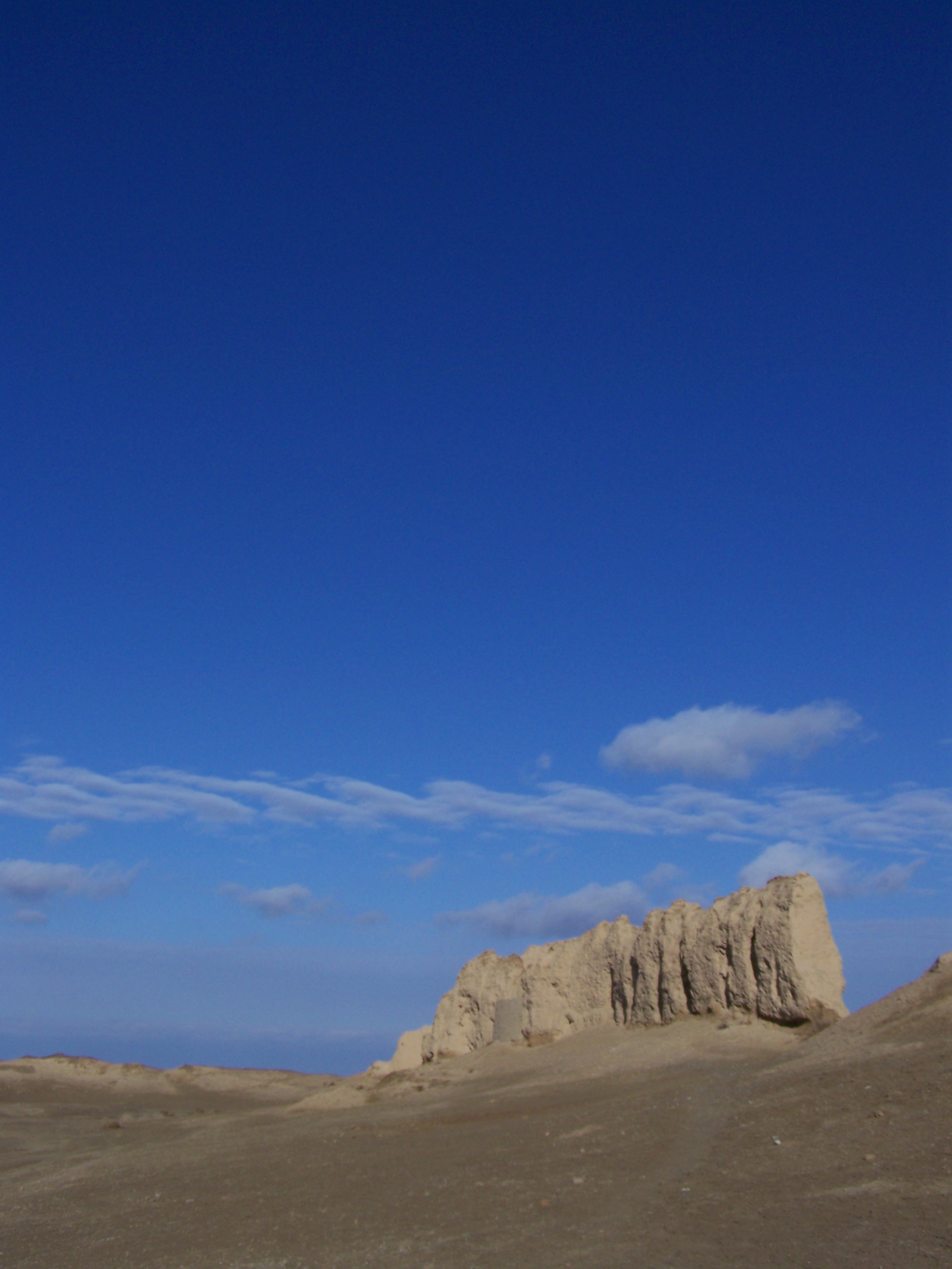
Sauran Fortress, KZ

Sauran Fortress, KZ

Sauran Fortress, KZ
Walls of Sauran
Topographic Map of Sauran, Kazakhstan
Find elevation by address:

Places near Sauran, Kazakhstan:
Recent Searches:
- Elevation of Corso Fratelli Cairoli, 35, Macerata MC, Italy
- Elevation of Tallevast Rd, Sarasota, FL, USA
- Elevation of 4th St E, Sonoma, CA, USA
- Elevation of Black Hollow Rd, Pennsdale, PA, USA
- Elevation of Oakland Ave, Williamsport, PA, USA
- Elevation of Pedrógão Grande, Portugal
- Elevation of Klee Dr, Martinsburg, WV, USA
- Elevation of Via Roma, Pieranica CR, Italy
- Elevation of Tavkvetili Mountain, Georgia
- Elevation of Hartfords Bluff Cir, Mt Pleasant, SC, USA