Elevation map of Satun, Thailand
Location:
Thailand >
| Latitude | 6.6238158 |
|---|---|
| Longitude | 100.0673744 |
| Elevation | 10m / 33feet |
| Barometric Pressure | 1012KPa |
Related Photos:
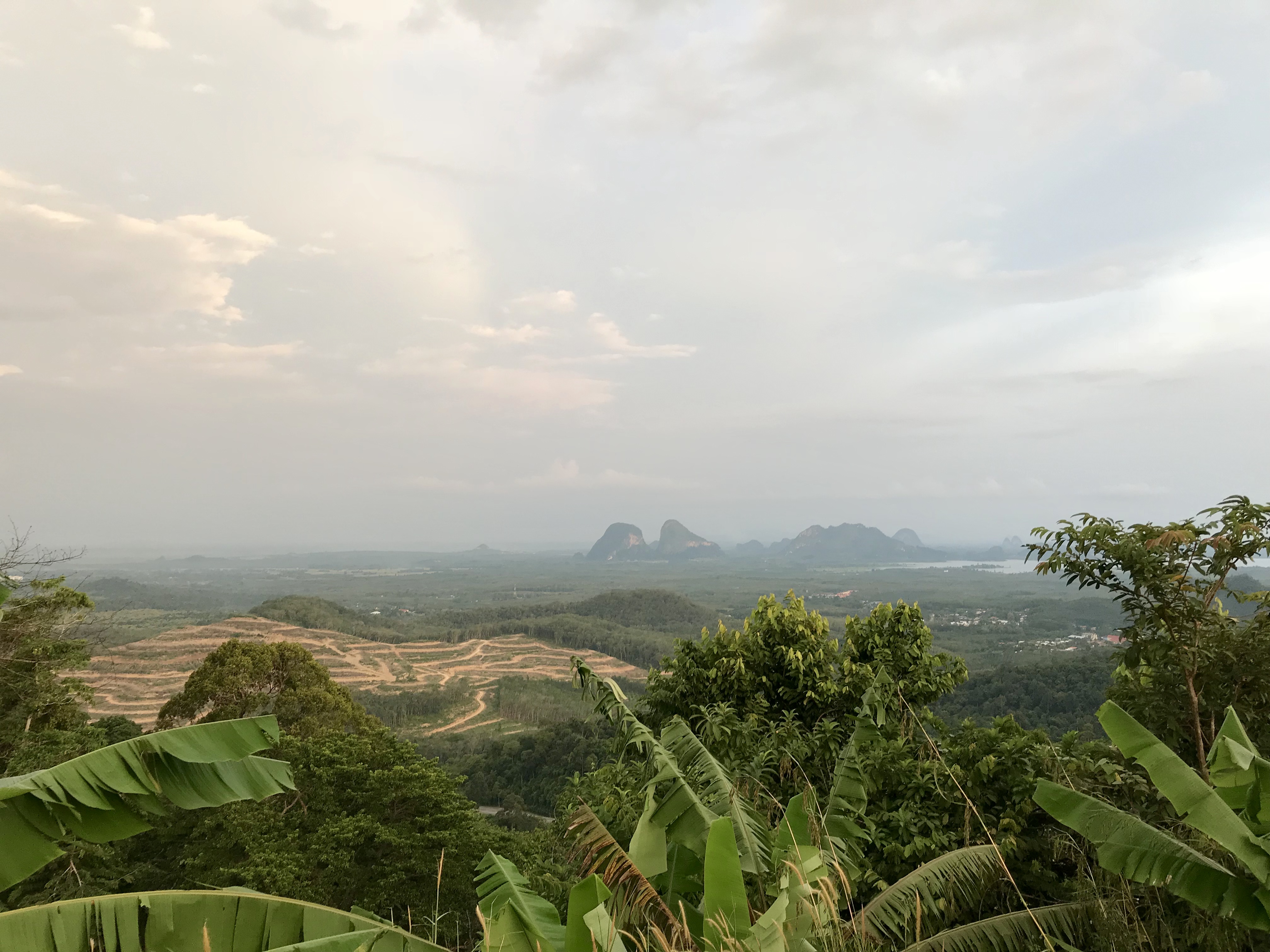
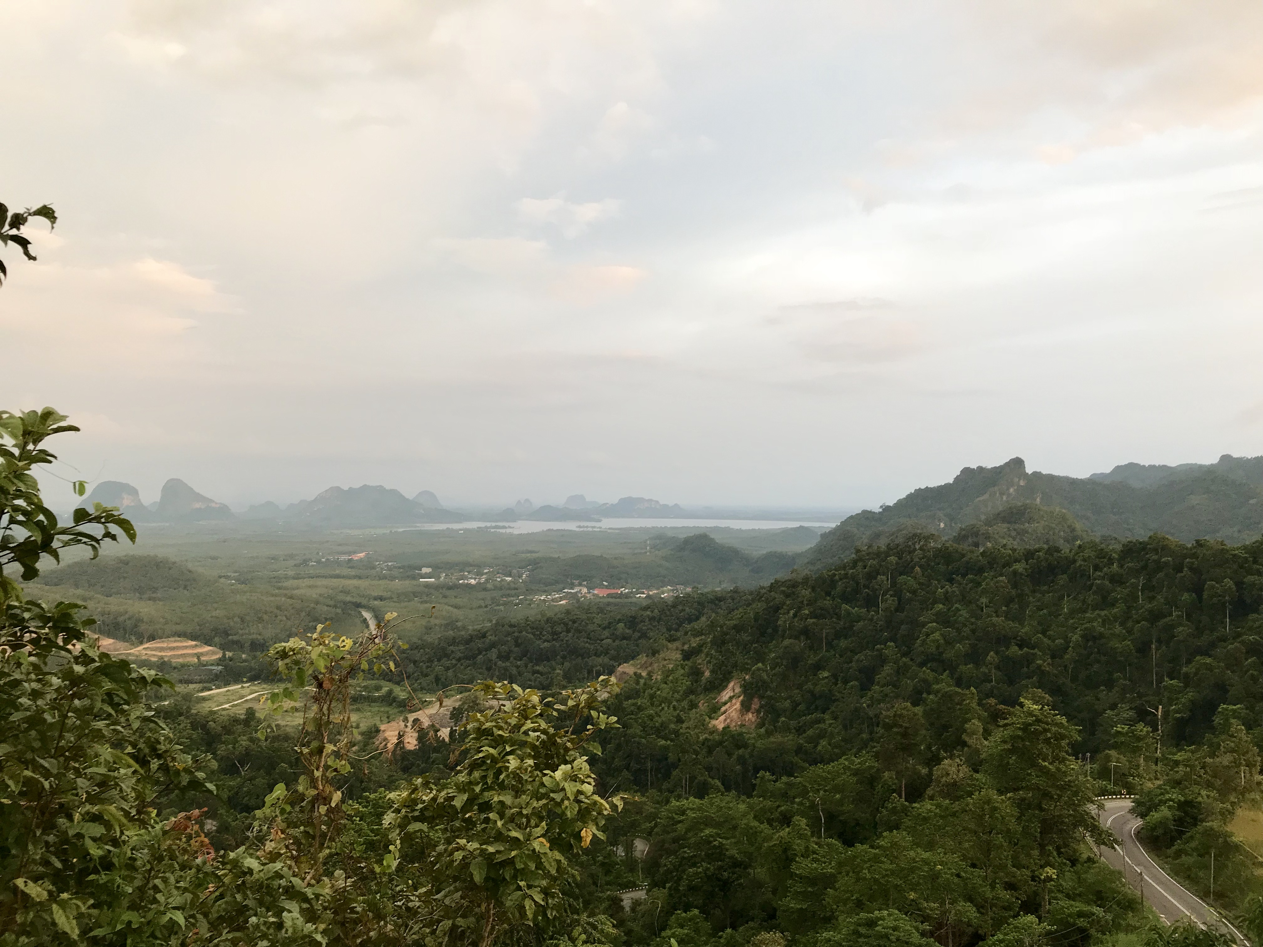
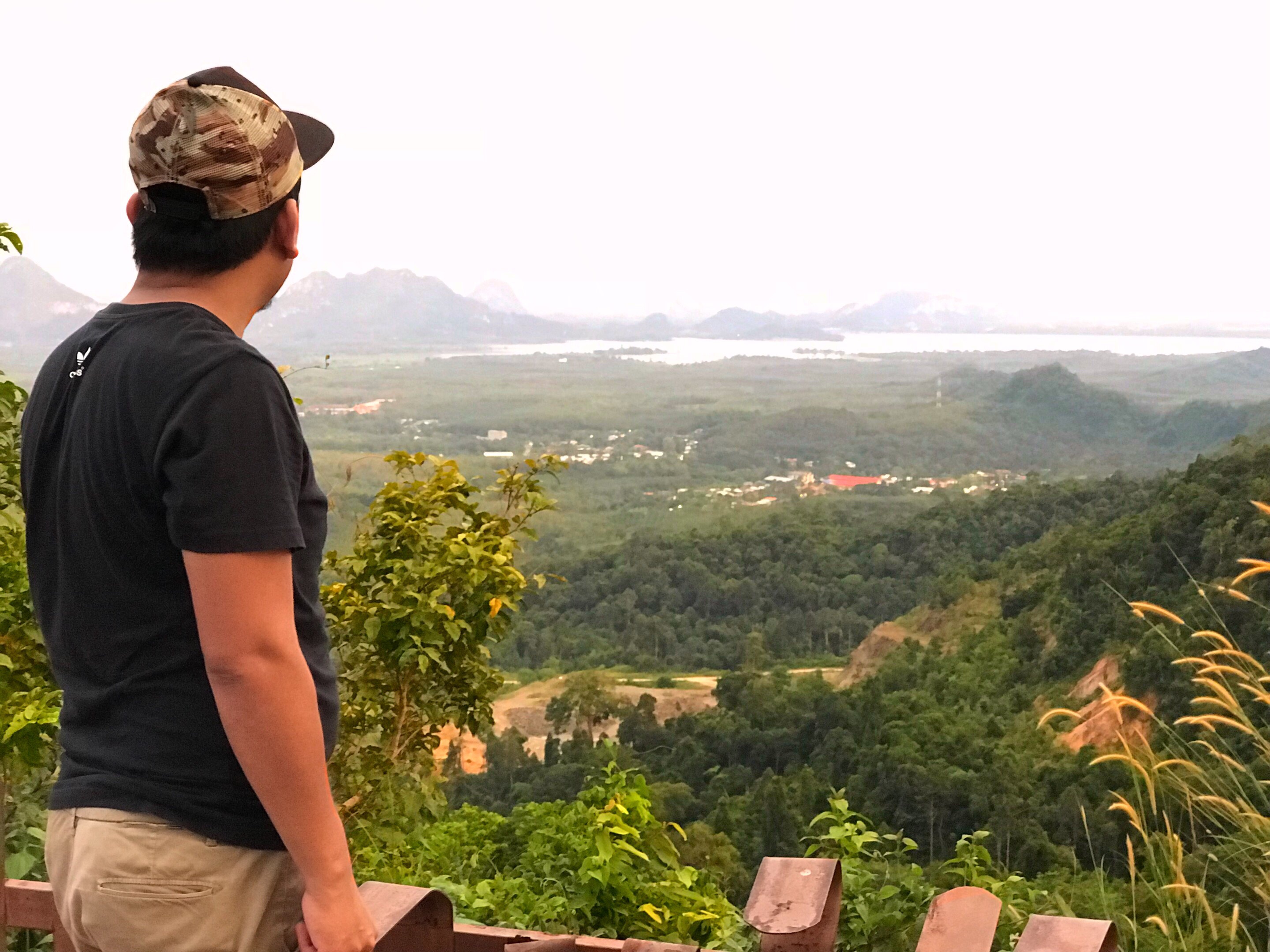
IMG_E6372
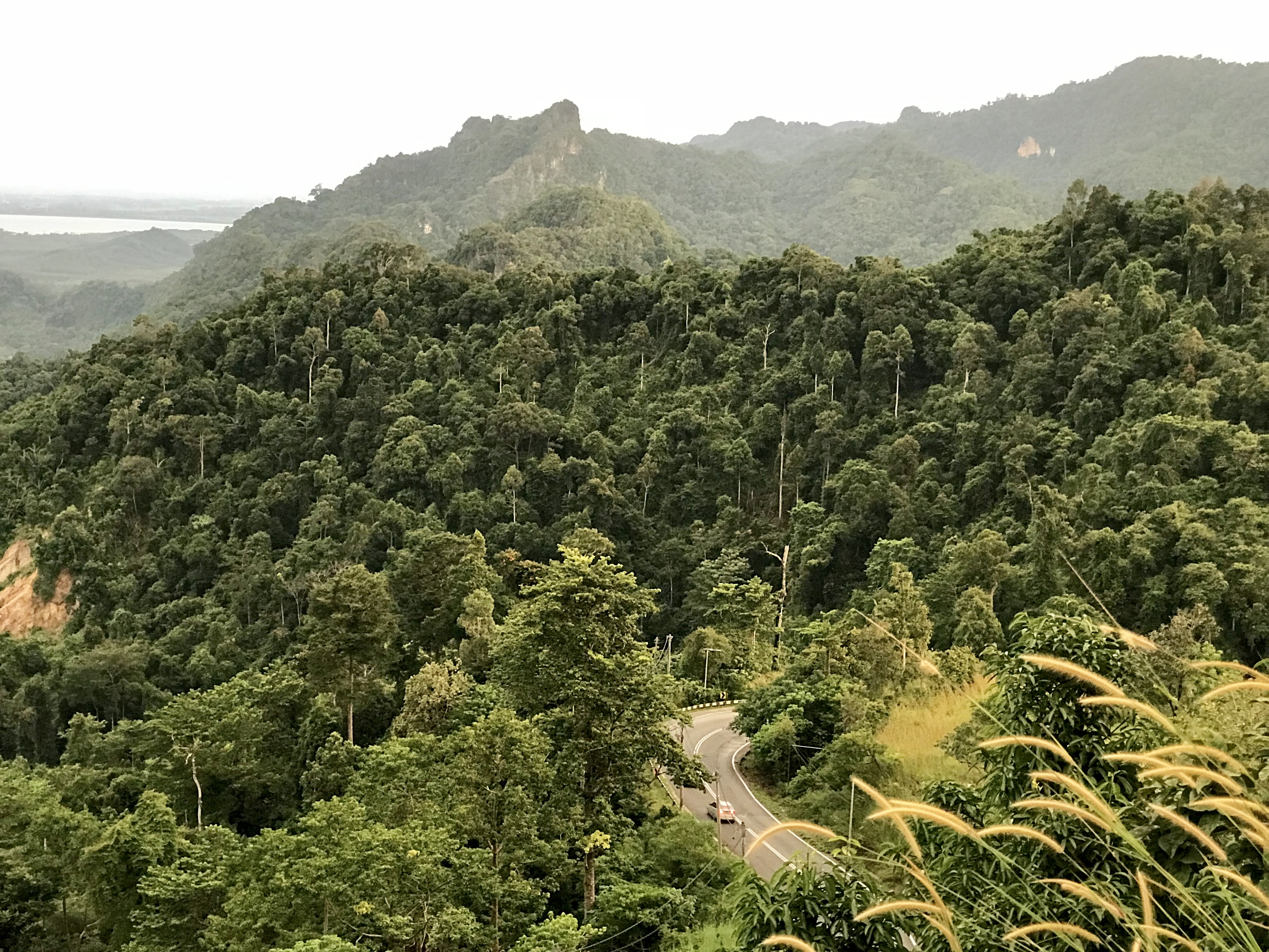
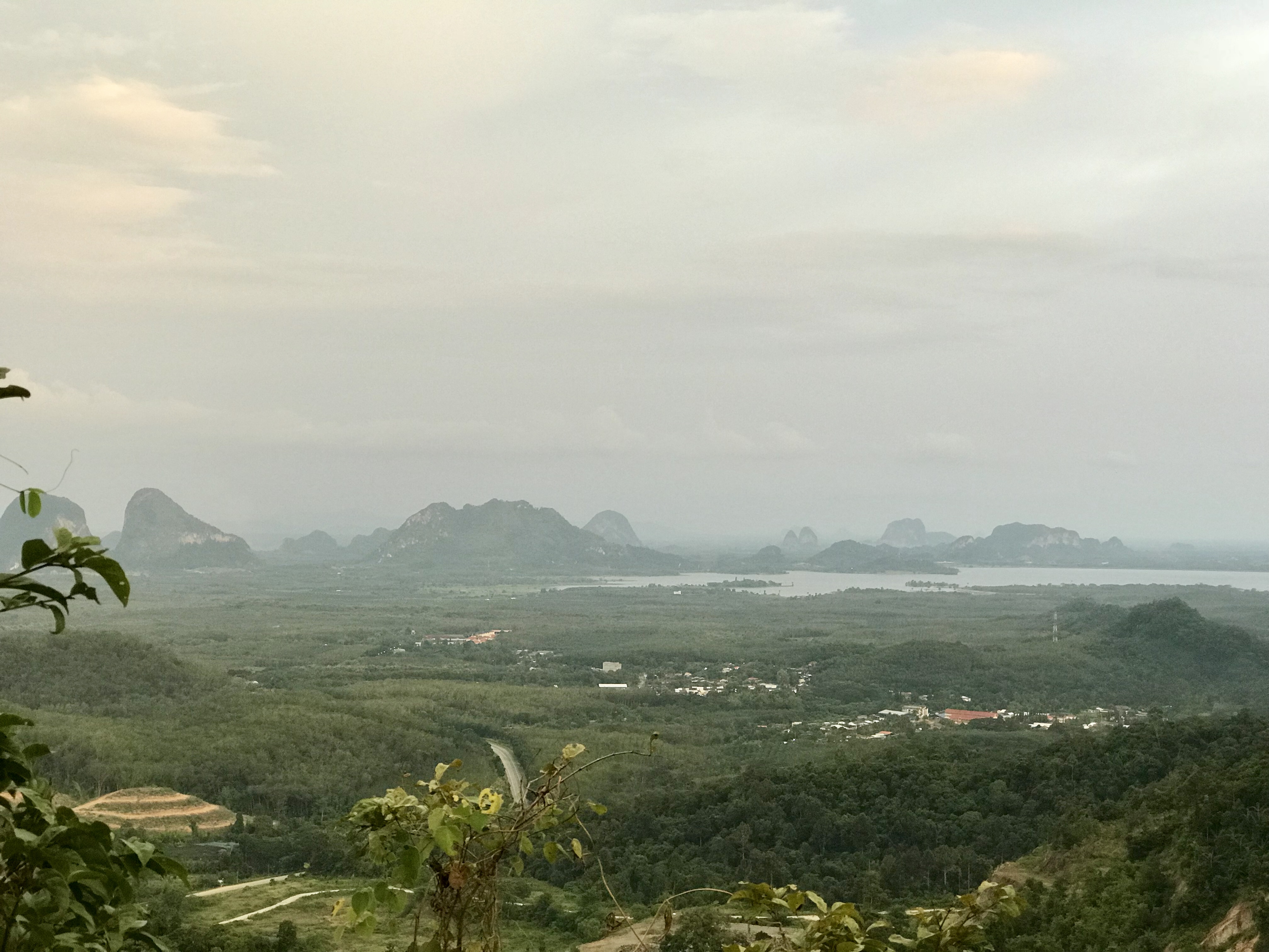
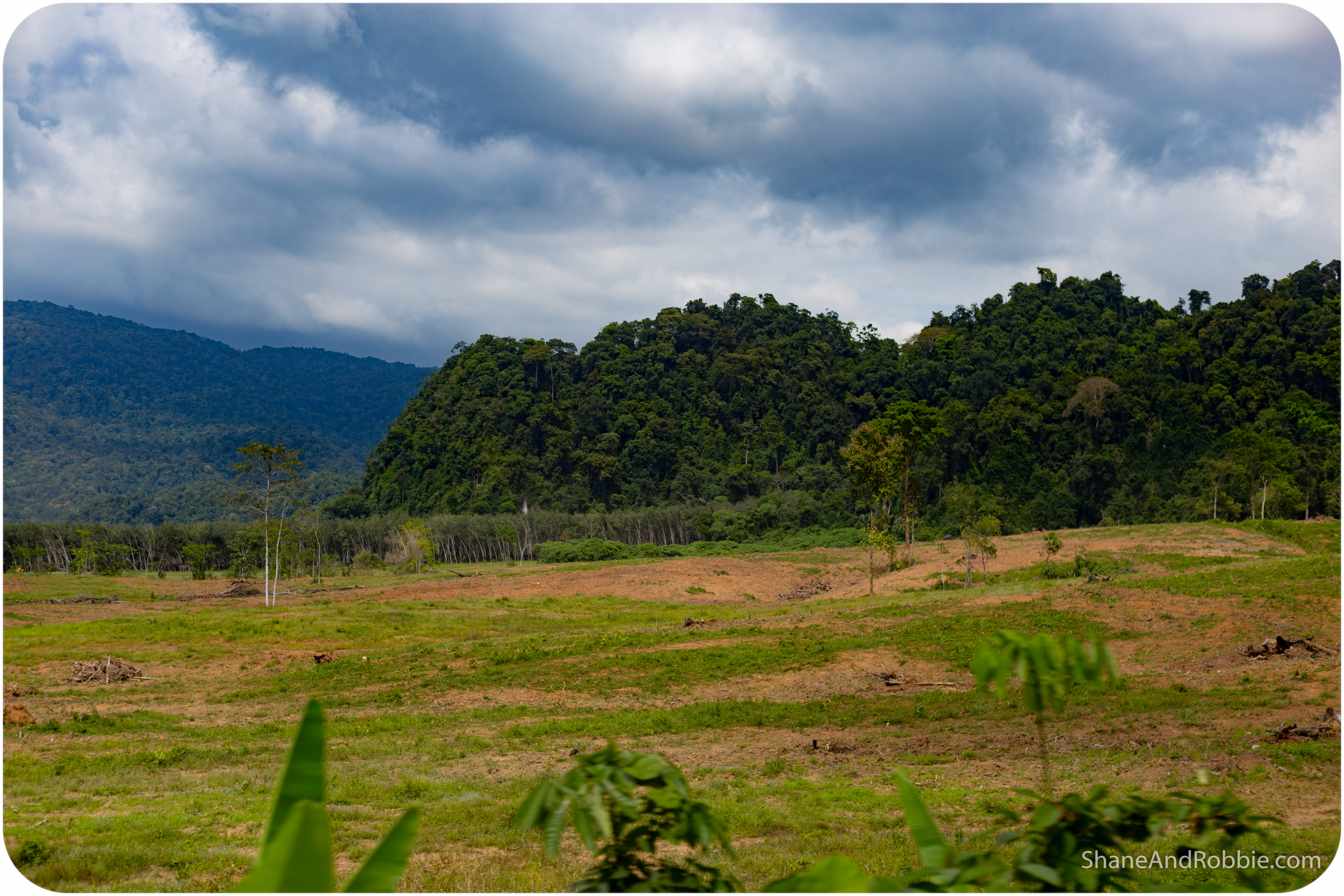
IMG_E6384
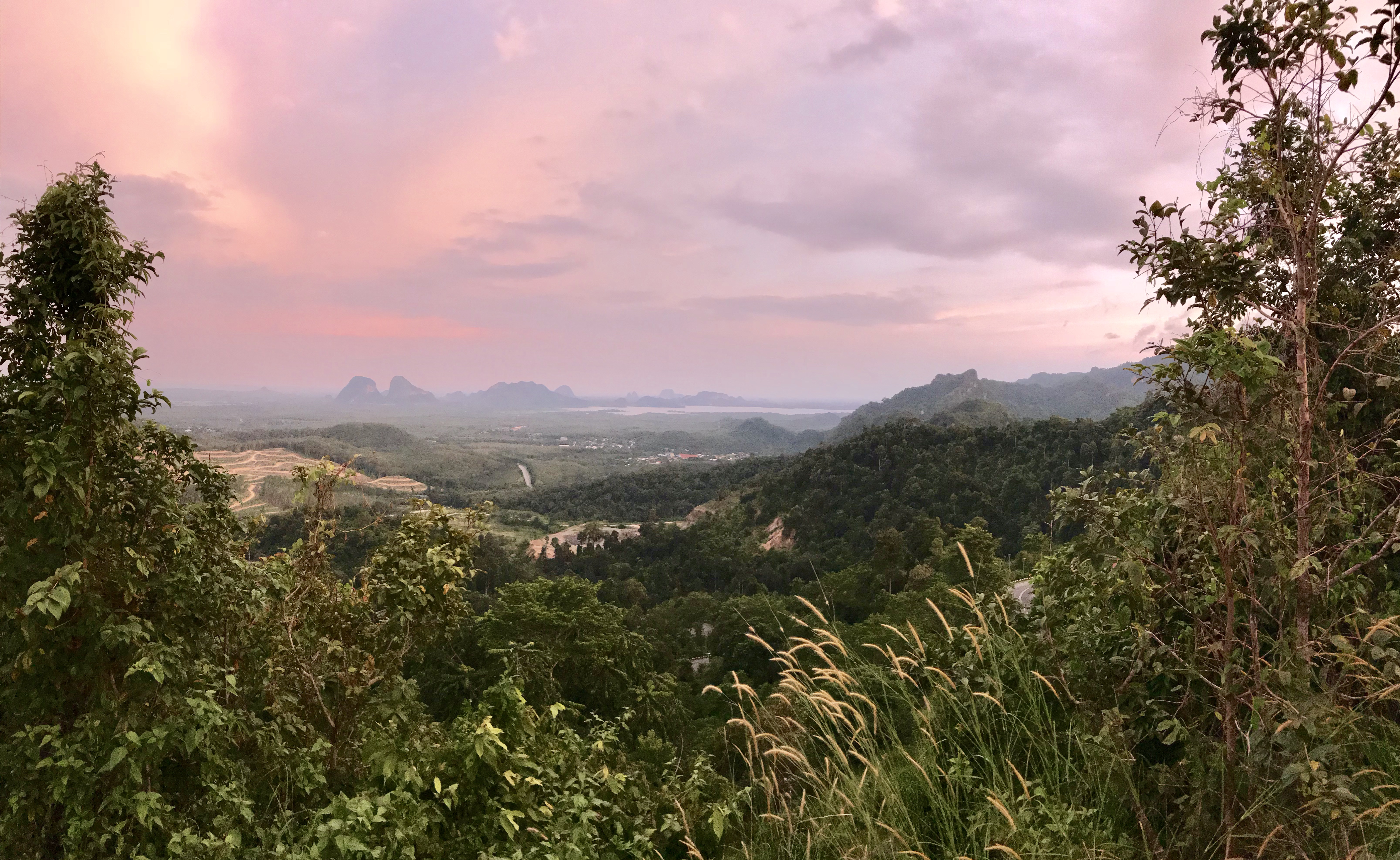
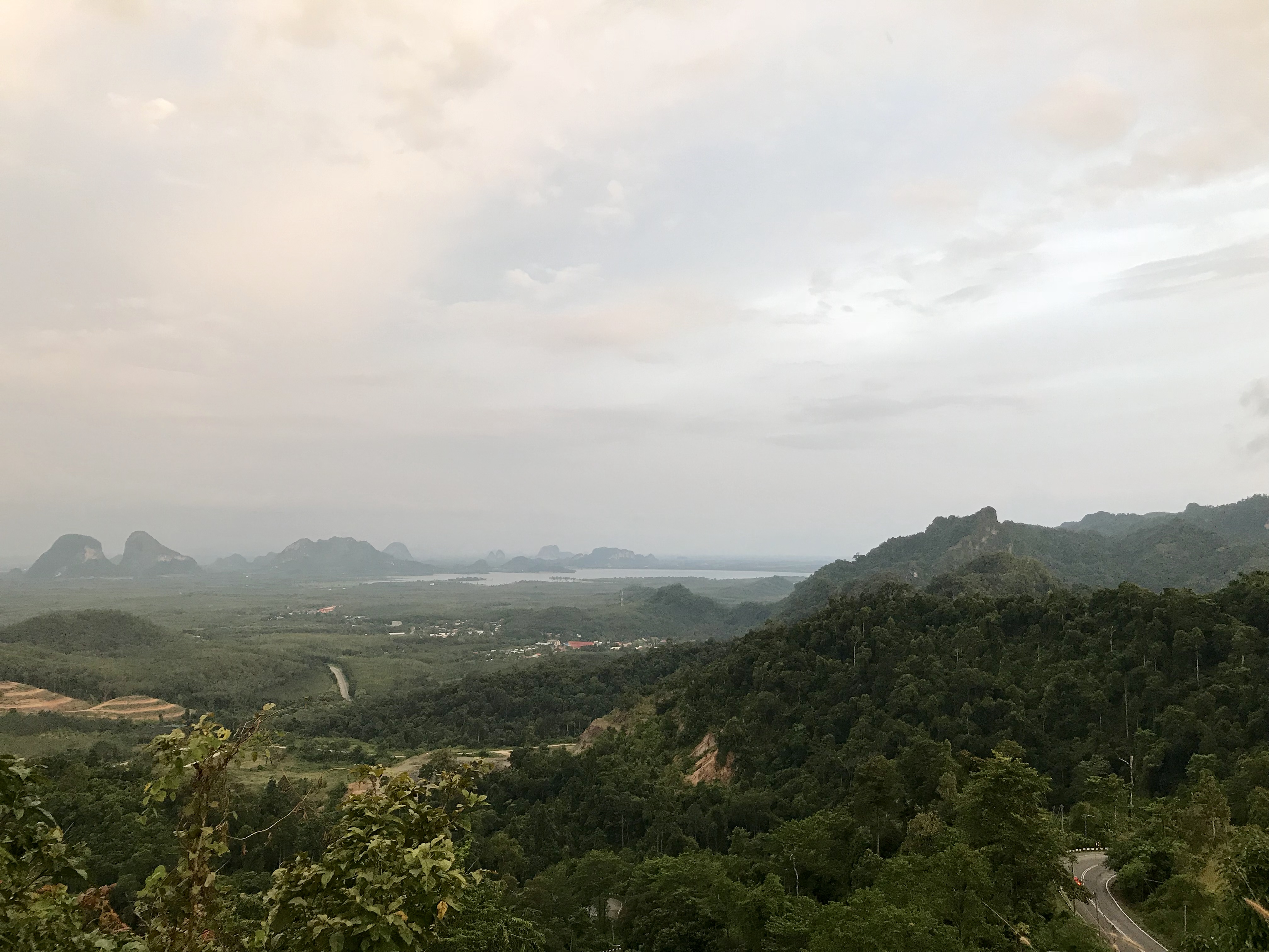
IMG_E6394
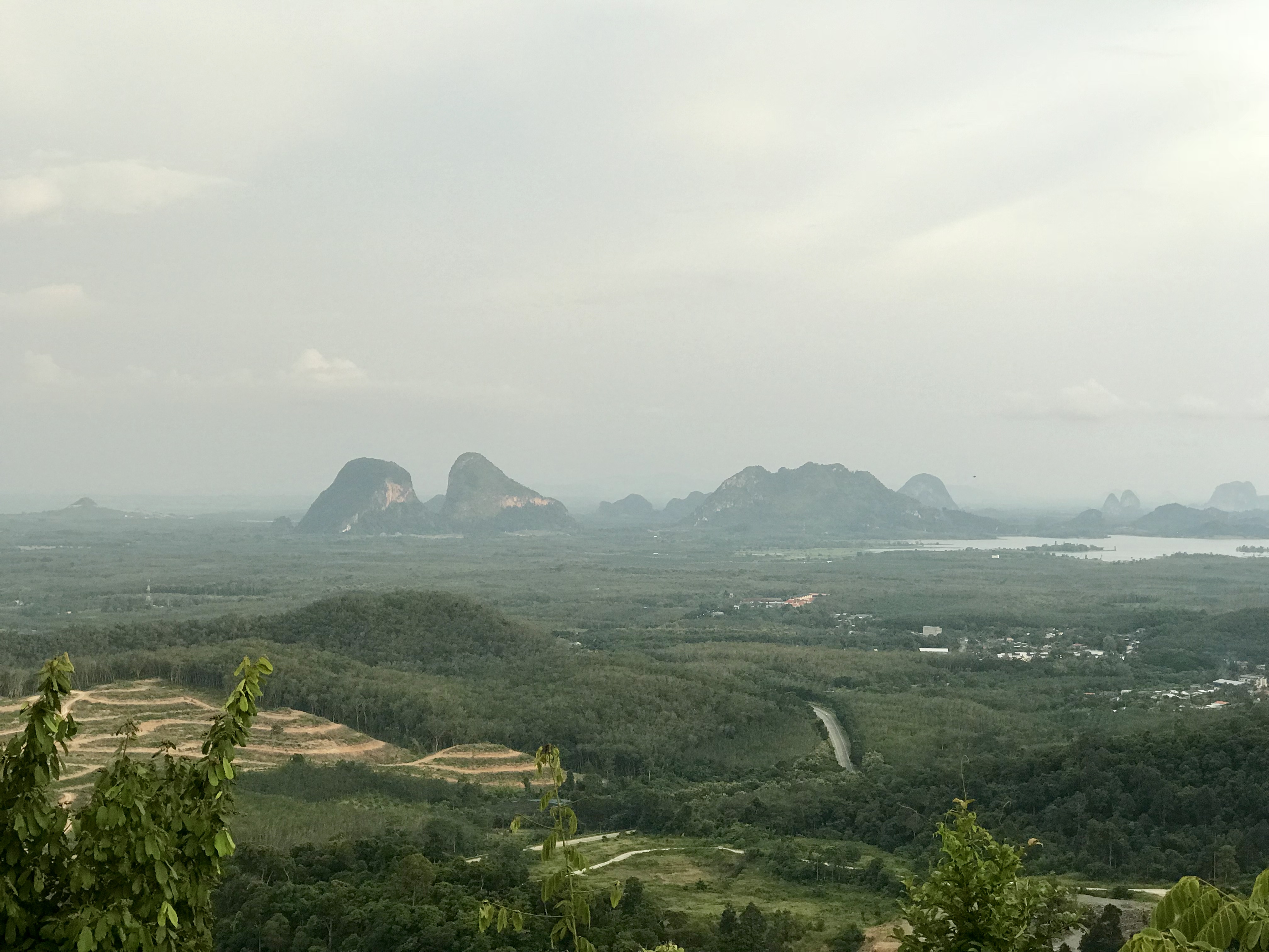
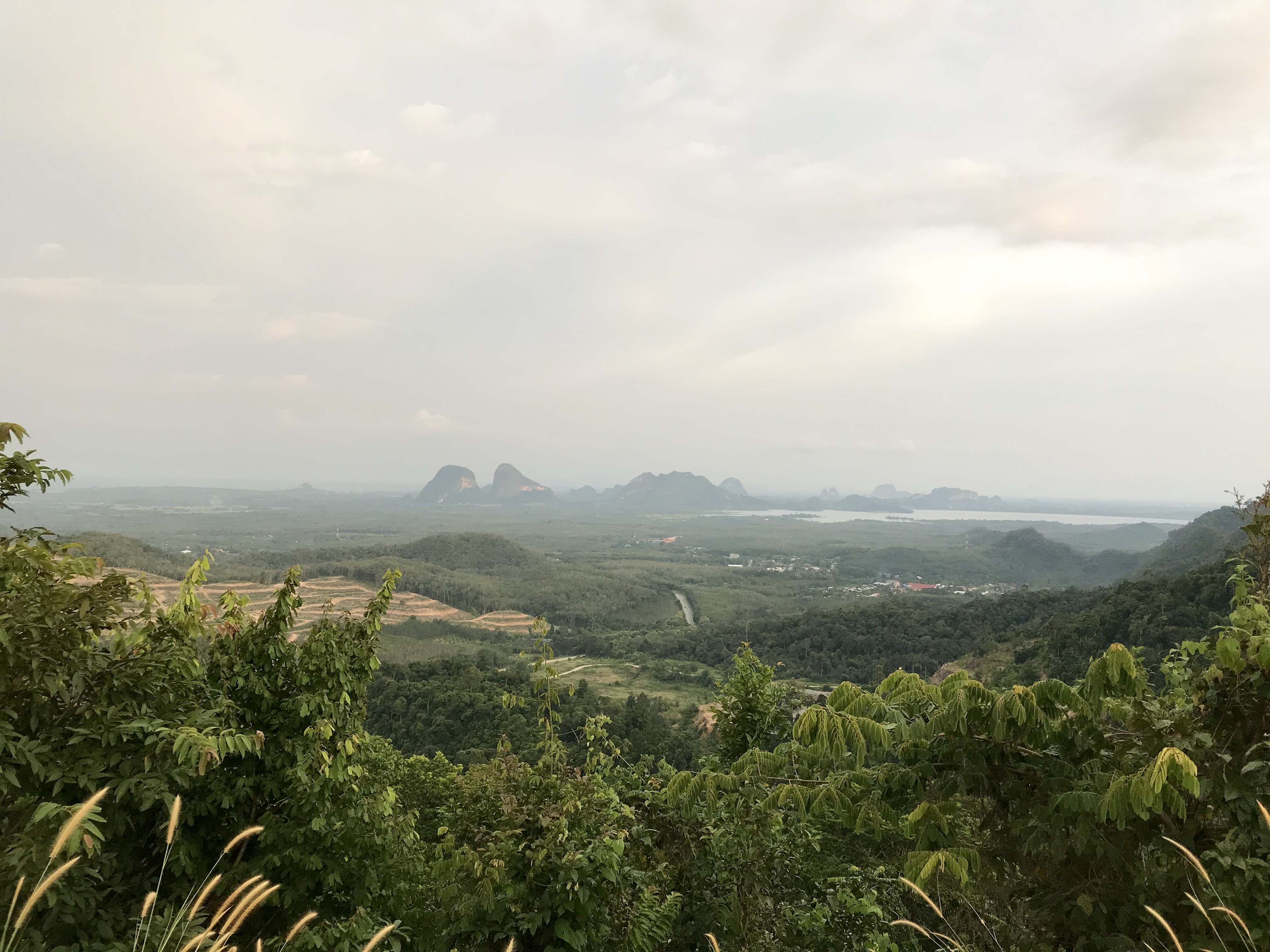
IMG_E6357
IMG_E6382
IMG_E6383
IMG_E6386
IMG_E6358
IMG_E6373
IMG_6438
IMG_E6359
IMG_E6395
IMG_6439
20151213(Canon EOS 6D)-00024
Topographic Map of Satun, Thailand
Find elevation by address:
Places near Satun, Thailand:
Wang Kelian
Titi Tinggi
Kampung Wai
Taman Indera
Perlis
Kangar
Taman Kangar
Perlis
Kampung Chuping
Taman Fauziah
Kuala Perlis
Taman Bukit Lagi, Perlis
Padang Besar
Arau
Kodiang
Langkawi
Langkawi Kondo Istana
Khlong Hoi Khong District
Khlong La
Hat Yai International Airport
Recent Searches:
- Elevation of 104, Chancery Road, Middletown Township, Bucks County, Pennsylvania, 19047, USA
- Elevation of 1212, Cypress Lane, Dayton, Liberty County, Texas, 77535, USA
- Elevation map of Central Hungary, Hungary
- Elevation map of Pest, Central Hungary, Hungary
- Elevation of Pilisszentkereszt, Pest, Central Hungary, Hungary
- Elevation of Dharamkot Tahsil, Punjab, India
- Elevation of Bhinder Khurd, Dharamkot Tahsil, Punjab, India
- Elevation of 2881, Chabot Drive, San Bruno, San Mateo County, California, 94066, USA
- Elevation of 10370, West 107th Circle, Westminster, Jefferson County, Colorado, 80021, USA
- Elevation of 611, Roman Road, Old Ford, Bow, London, England, E3 2RW, United Kingdom
- Elevation of 116, Beartown Road, Underhill, Chittenden County, Vermont, 05489, USA
- Elevation of Window Rock, Colfax County, New Mexico, 87714, USA
- Elevation of 4807, Rosecroft Street, Kempsville Gardens, Virginia Beach, Virginia, 23464, USA
- Elevation map of Matawinie, Quebec, Canada
- Elevation of Sainte-Émélie-de-l'Énergie, Matawinie, Quebec, Canada
- Elevation of Rue du Pont, Sainte-Émélie-de-l'Énergie, Matawinie, Quebec, J0K2K0, Canada
- Elevation of 8, Rue de Bécancour, Blainville, Thérèse-De Blainville, Quebec, J7B1N2, Canada
- Elevation of Wilmot Court North, 163, University Avenue West, Northdale, Waterloo, Region of Waterloo, Ontario, N2L6B6, Canada
- Elevation map of Panamá Province, Panama
- Elevation of Balboa, Panamá Province, Panama