Elevation of Saterland, Germany
Location: Germany > Lower Saxony >
Longitude: 7.7375852
Latitude: 53.0443626
Elevation: 6m / 20feet
Barometric Pressure: 101KPa
Elevation Map:
Satellite Map:
Related Photos:

Snacktime (3)

Hello World!

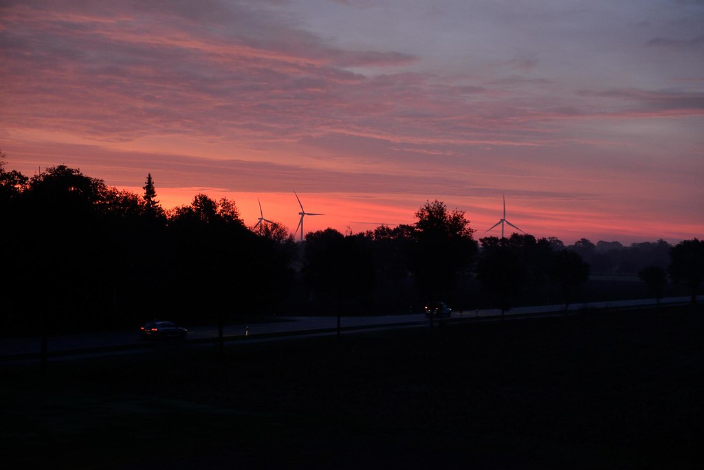
Wünsche allen einen schönen Samstagabend. #barssel #cloppenburg #sunset #sunrise #sun #TagsForLikes #TFLers #pretty #beautiful #red #orange #pink #sky #skyporn #cloudporn #nature #clouds #horizon #photooftheday #instagood #gorgeous #warm #view #night #mor

Sonnenuntergang am Fehntjer Meer. #ostrhauderfehn #ostfriesland #sunset #sunrise #sun #TFLers #pretty #beautiful #red #orange #pink #sky #skyporn #cloudporn #nature #clouds #horizon #photooftheday #instagood #gorgeous #warm #view #night #morning #silhouet
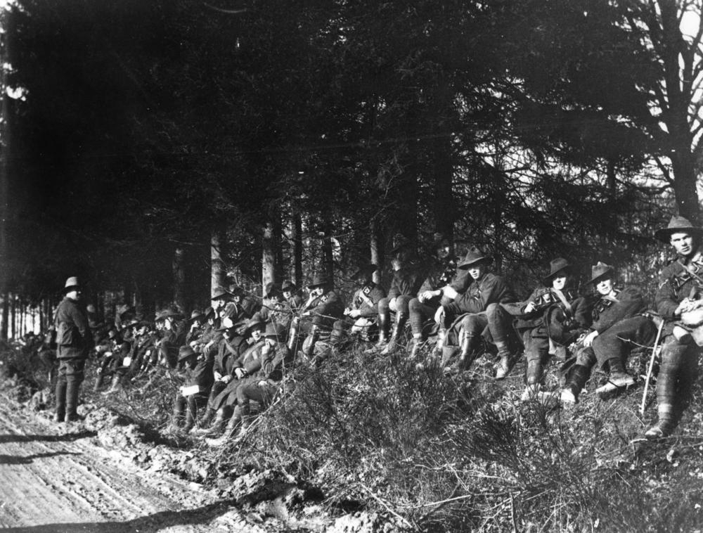
Men from the 12th Australian Field Artillery in Europe, 1918
Am einem Altarm der Leda bei Ubbehausen
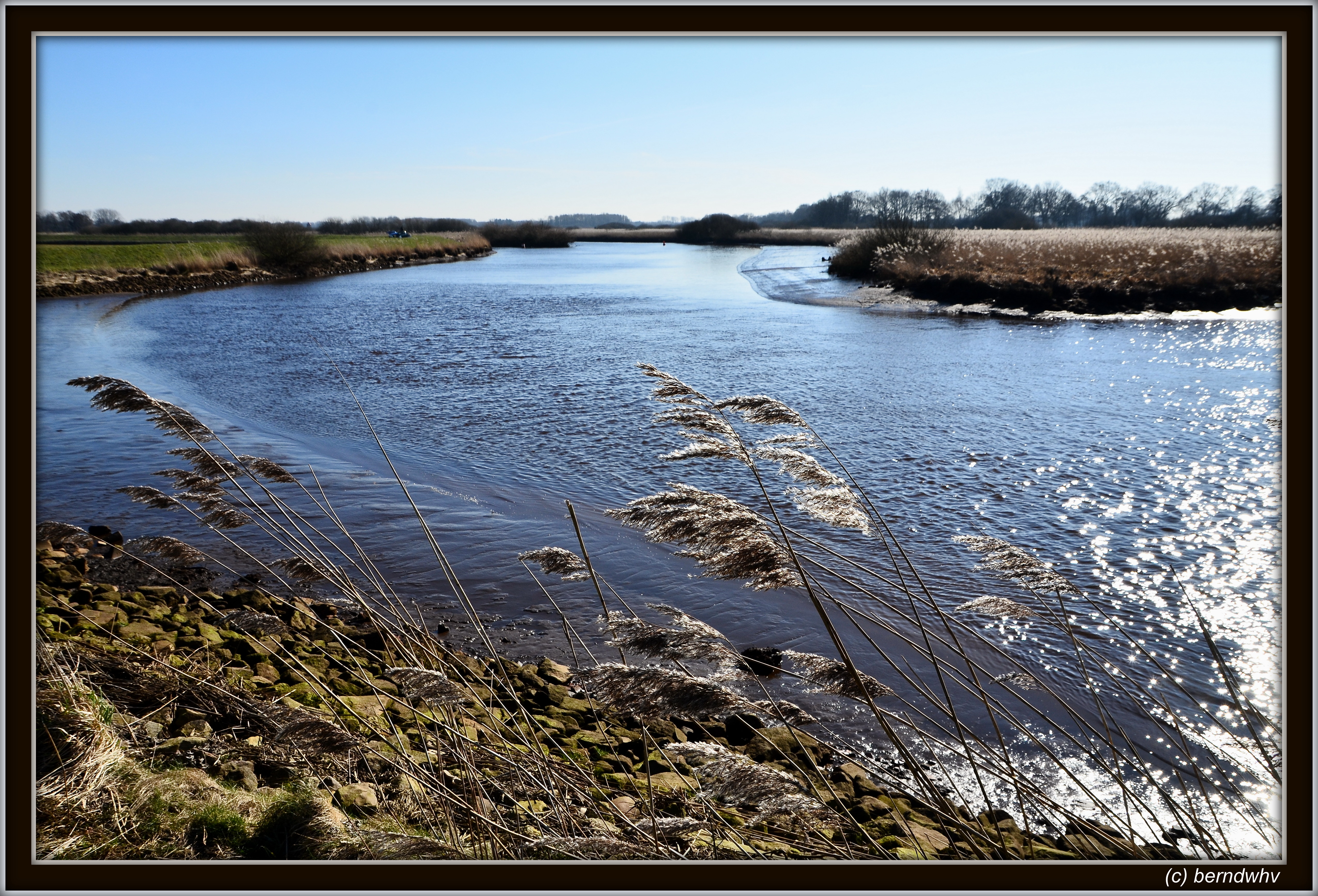
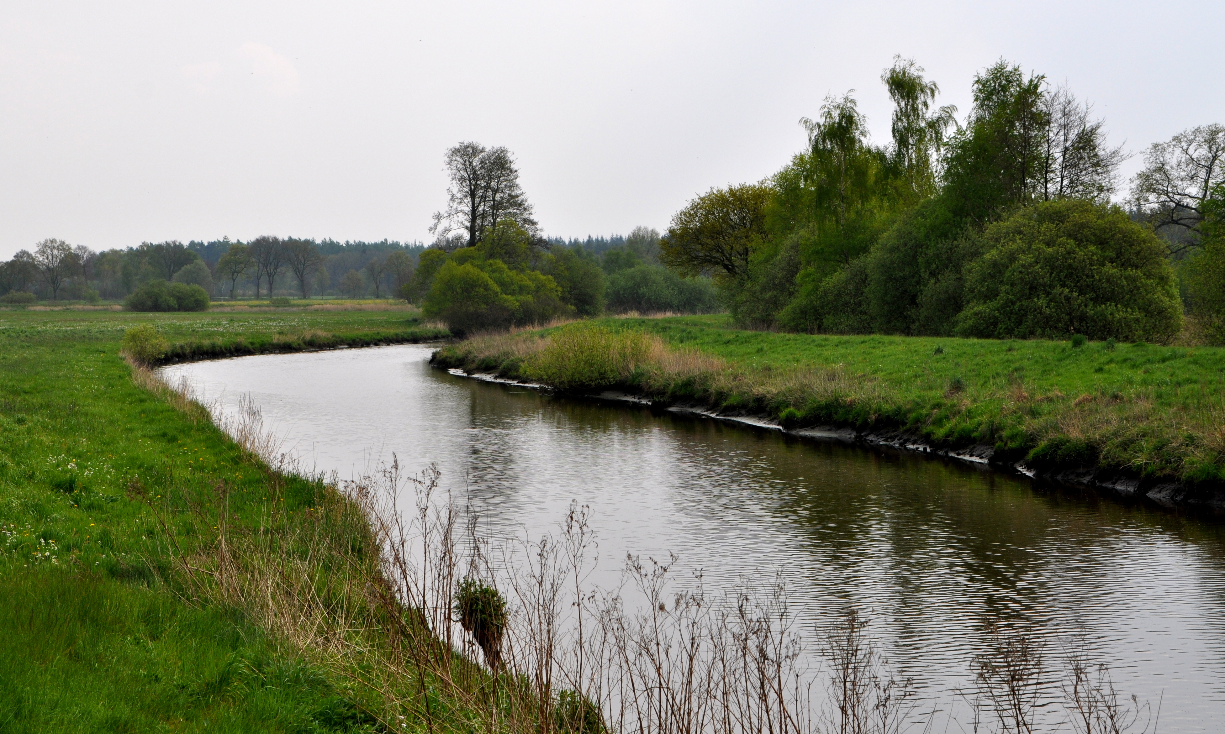
Idylle am Nordloher-Barsseler Tief
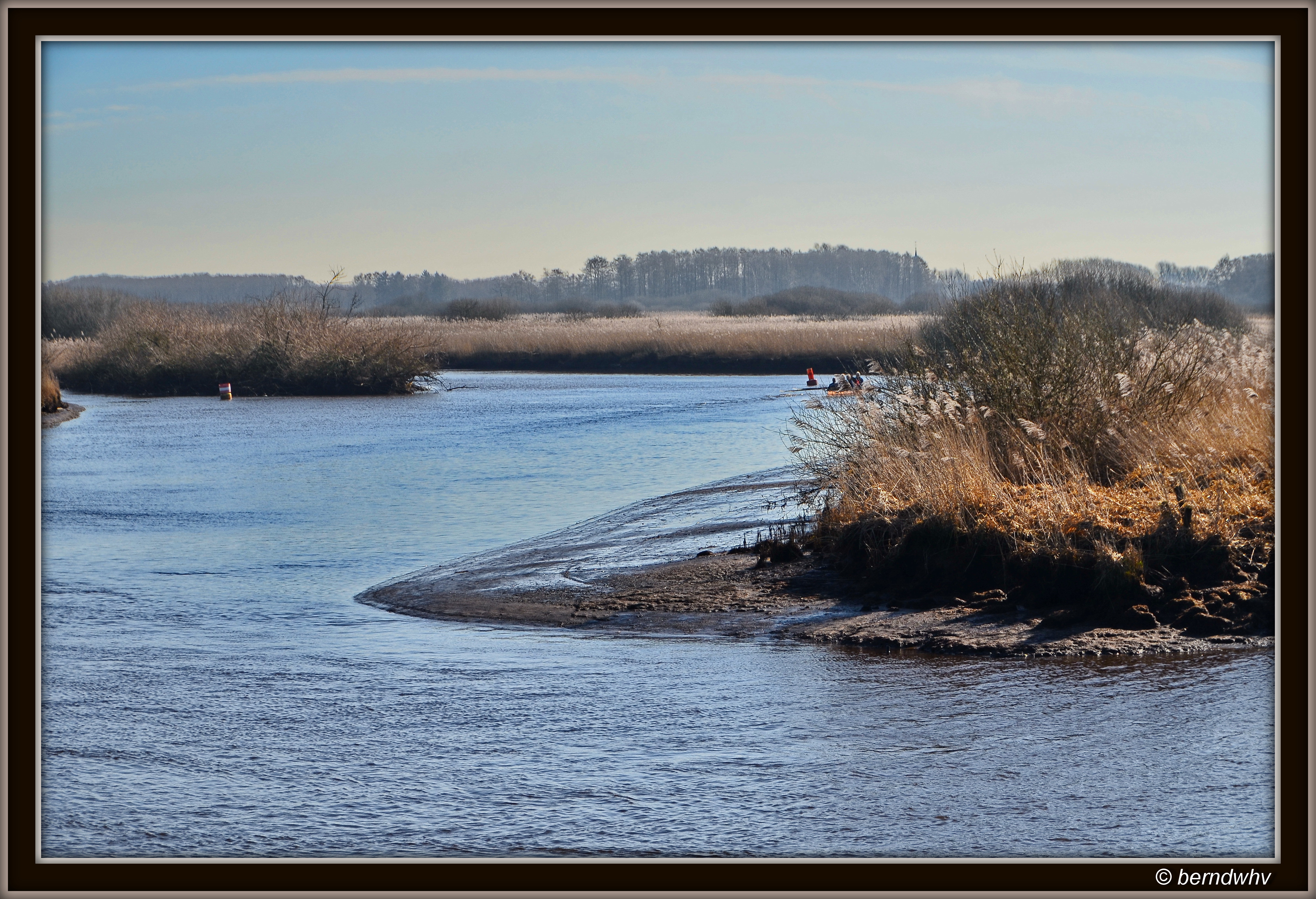
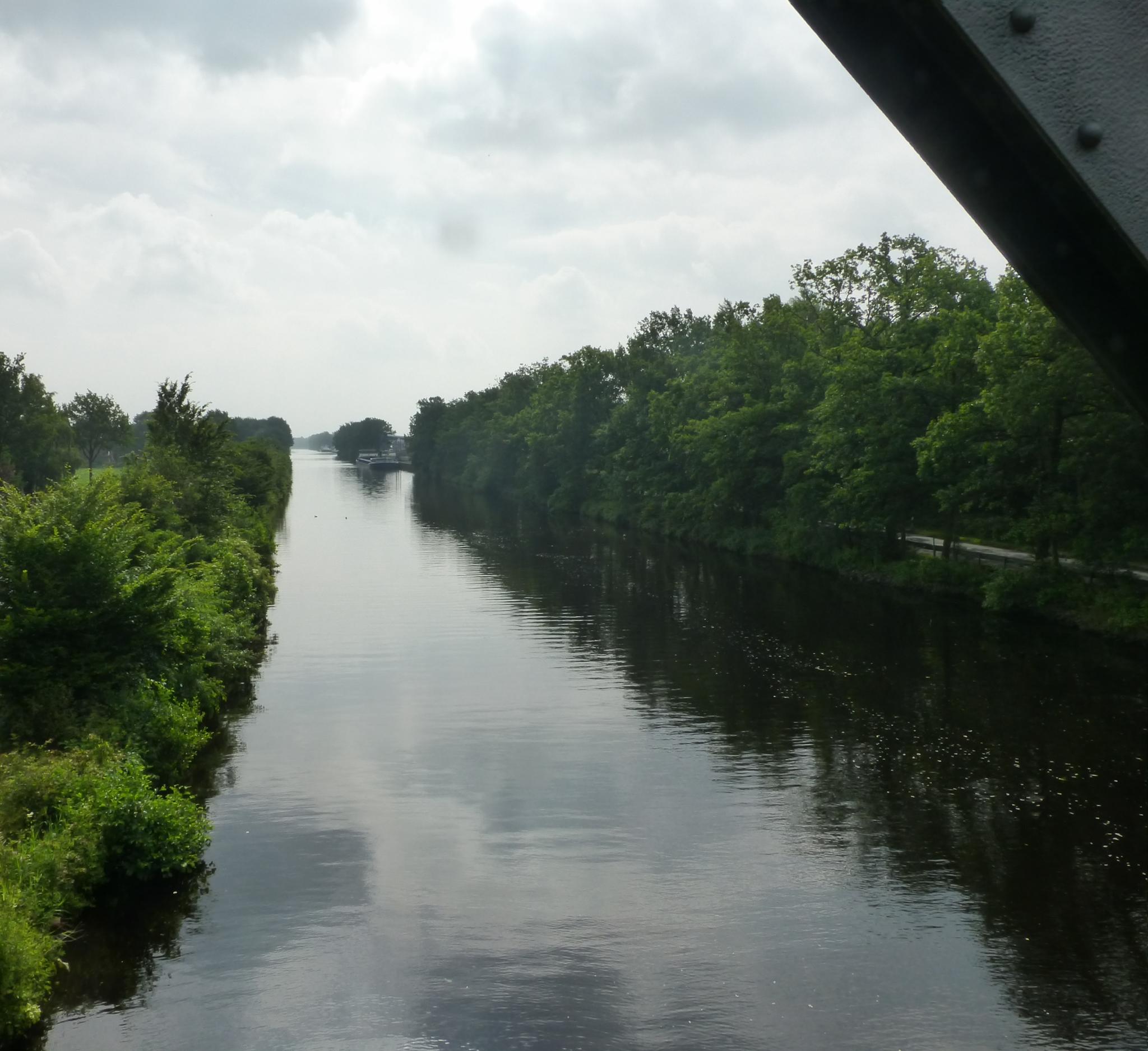
Am Nordloher-Barsseler Tief bei Detern-Scharrel

Am Nordloher-Barsseler Tief
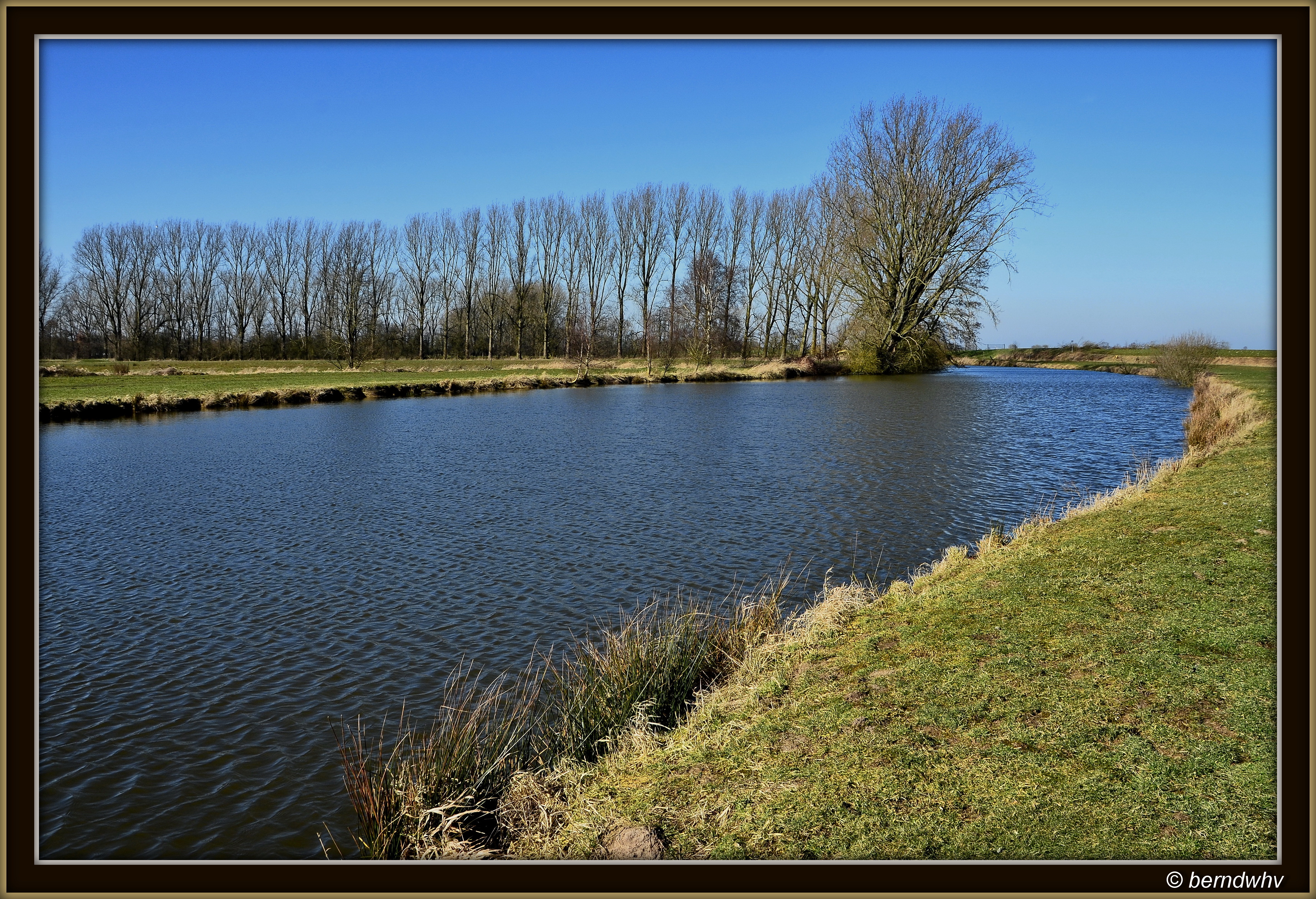
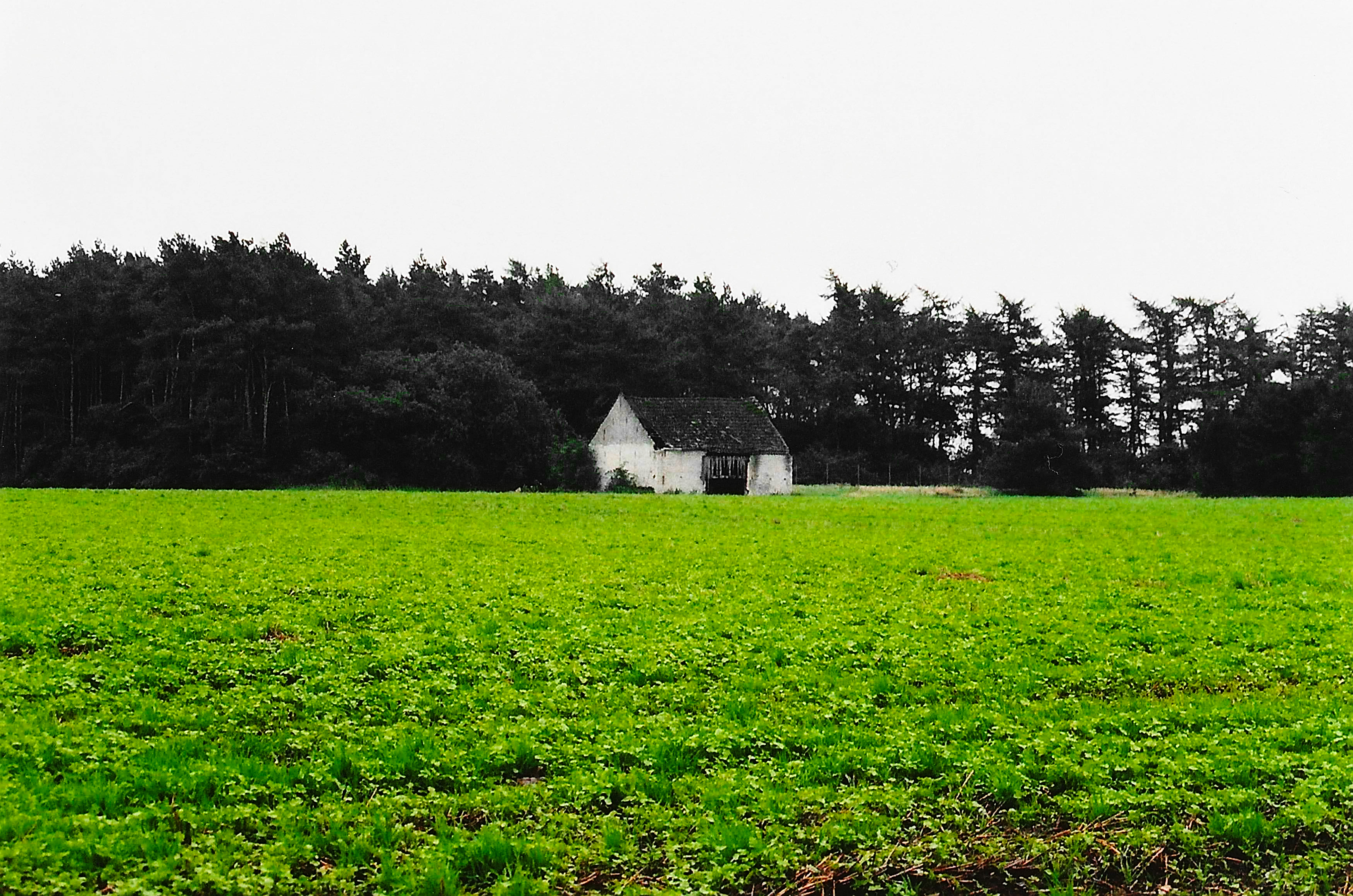
Am Godensholter Tief
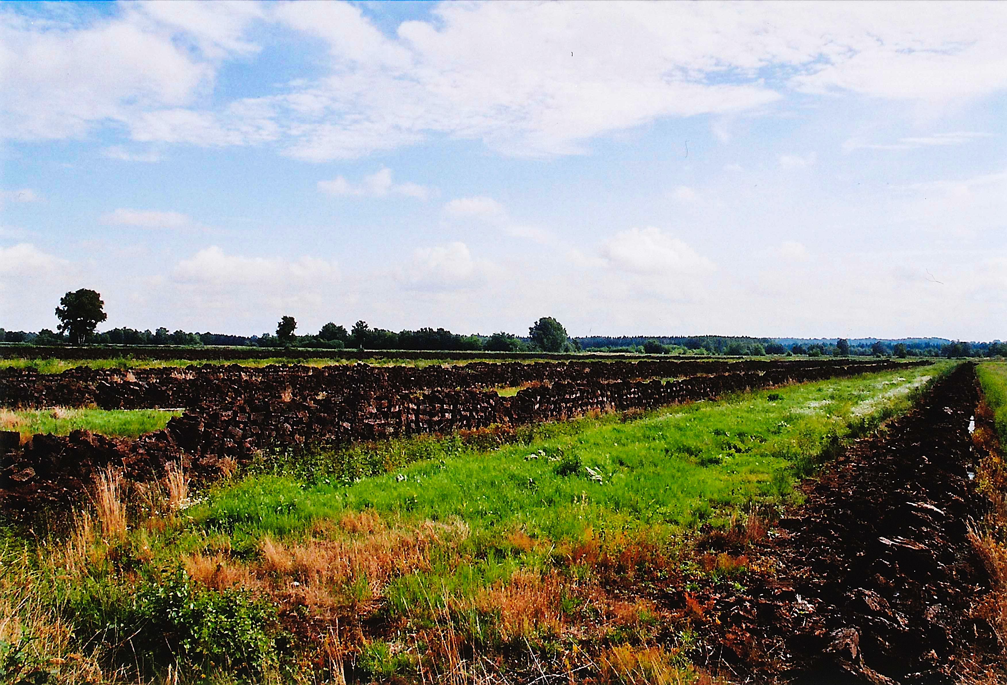
Wandern im Emsland 1: Torfstecher
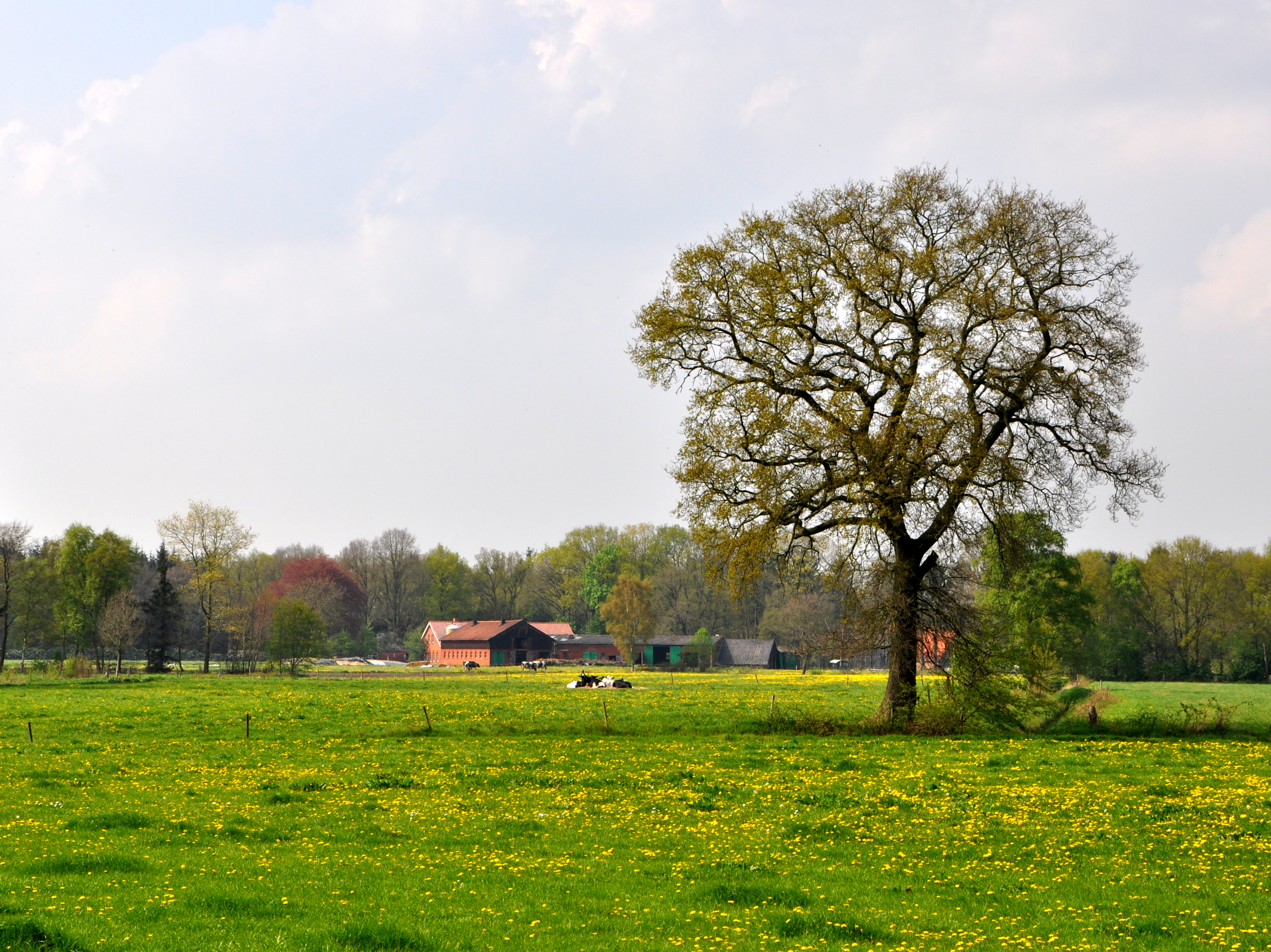
Am Godensholter Tief
Westrhauderfehn, Rajen
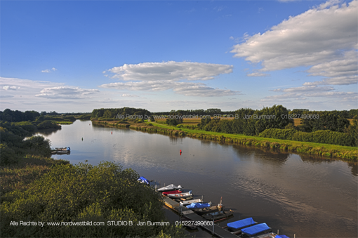
Barßel Hafen-Panorama 4
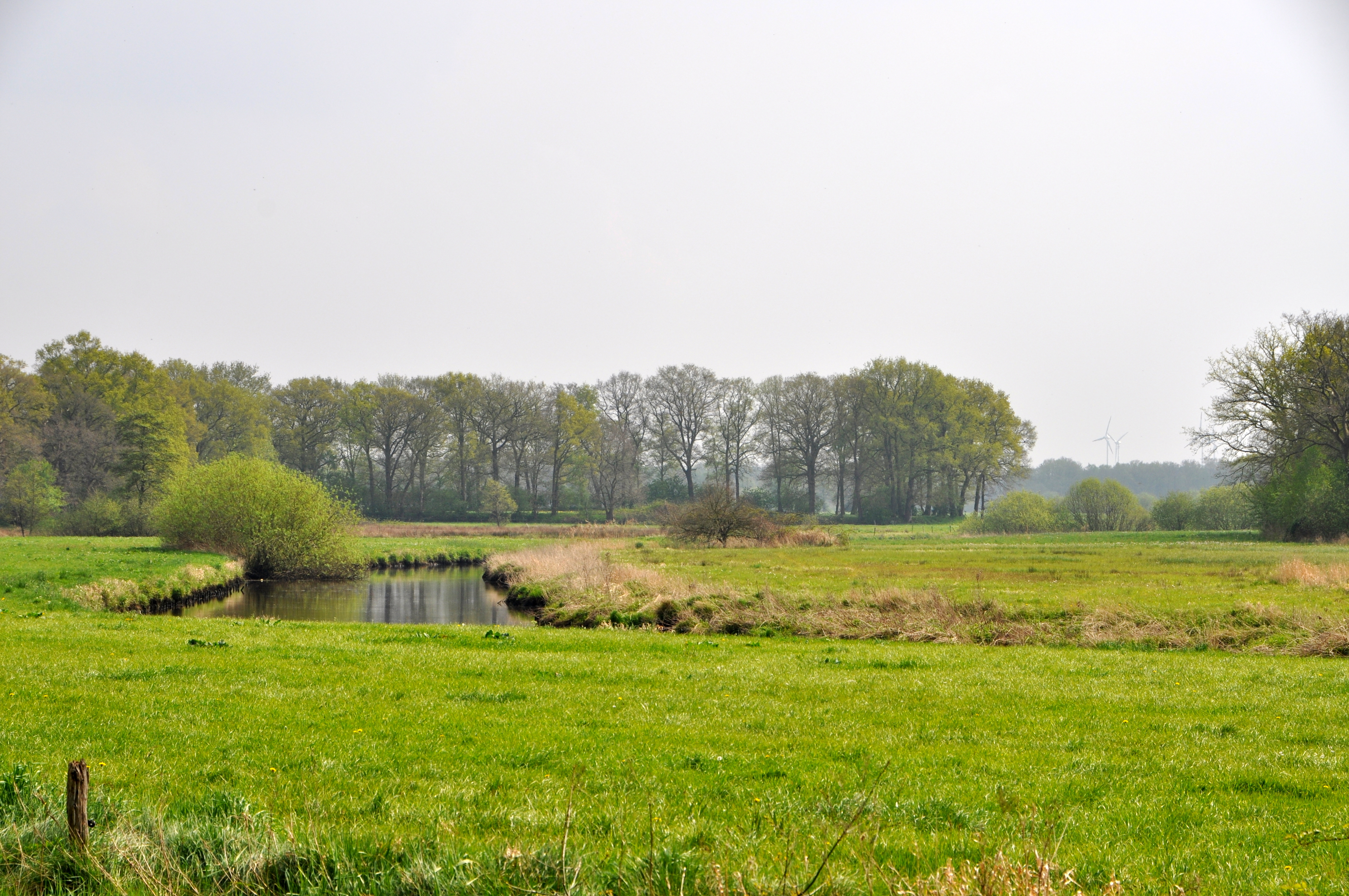
Am Godensholter Tief
Am Godensholter Tief
Barssel, Soeste
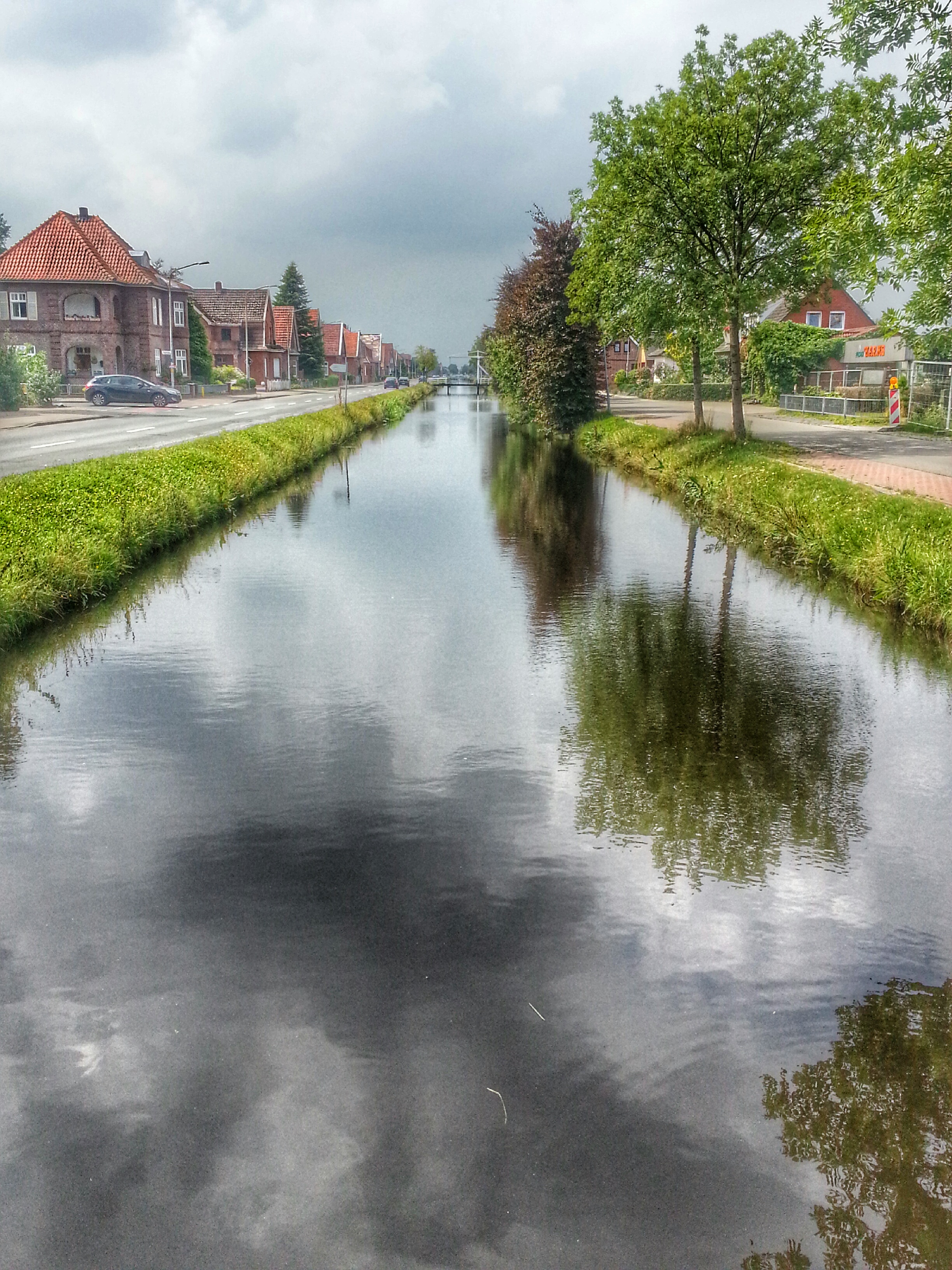
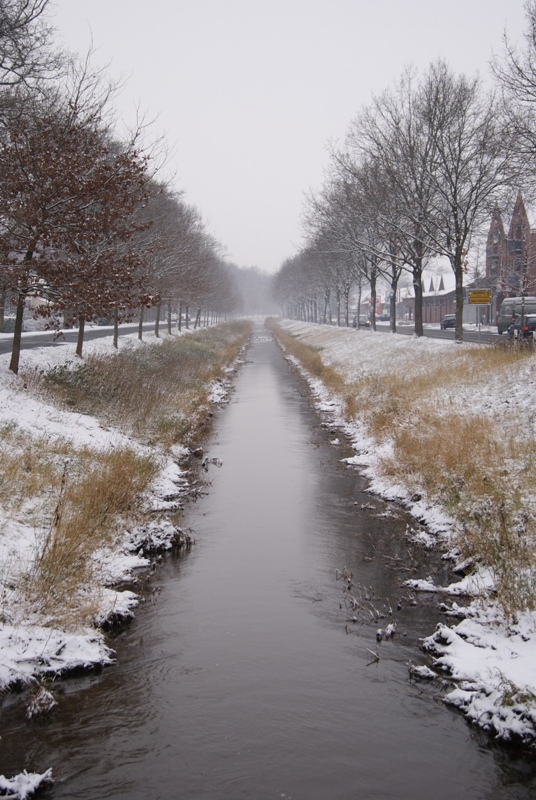
Am Küstenkanal
Hümmling 1: Am Waldrand

Wer bin ich?
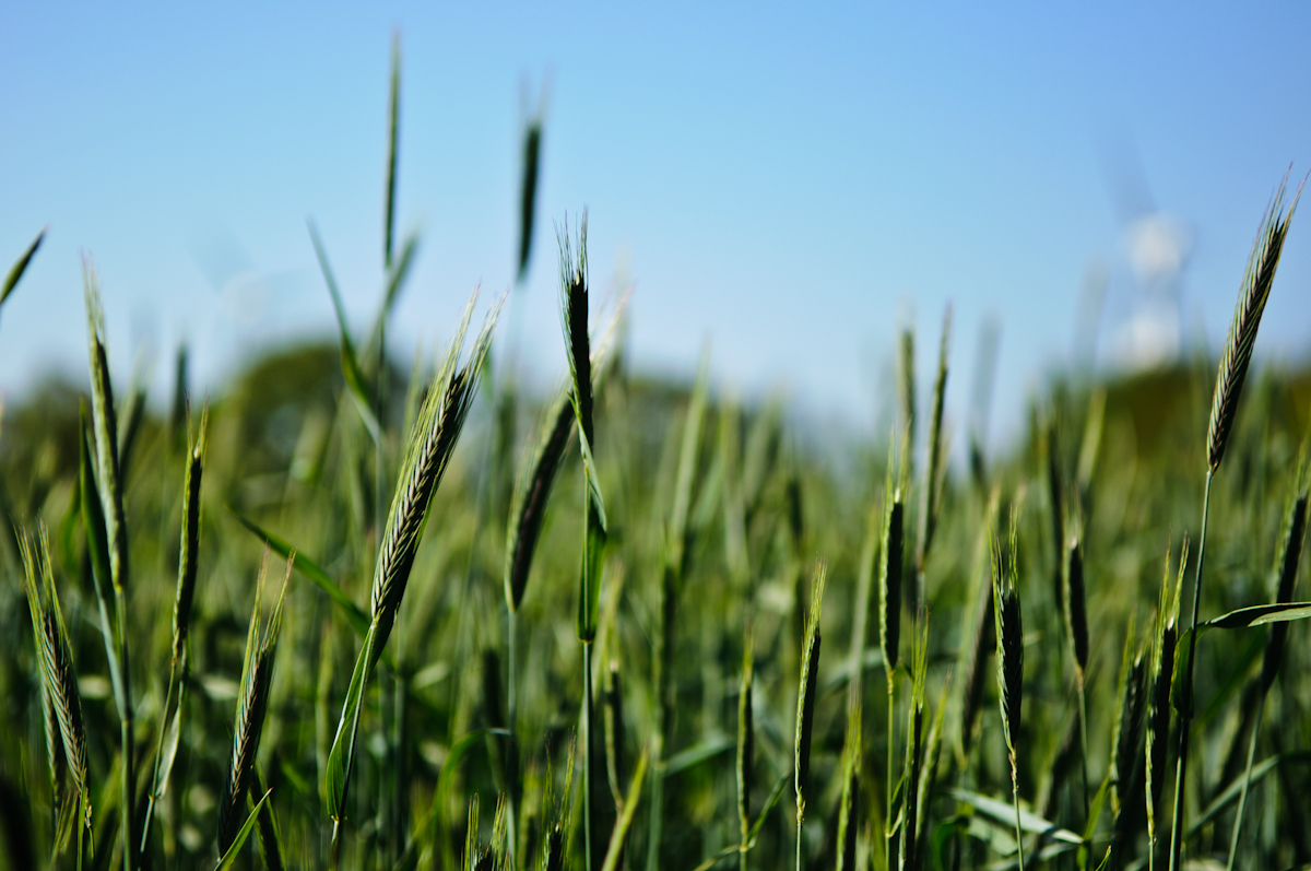
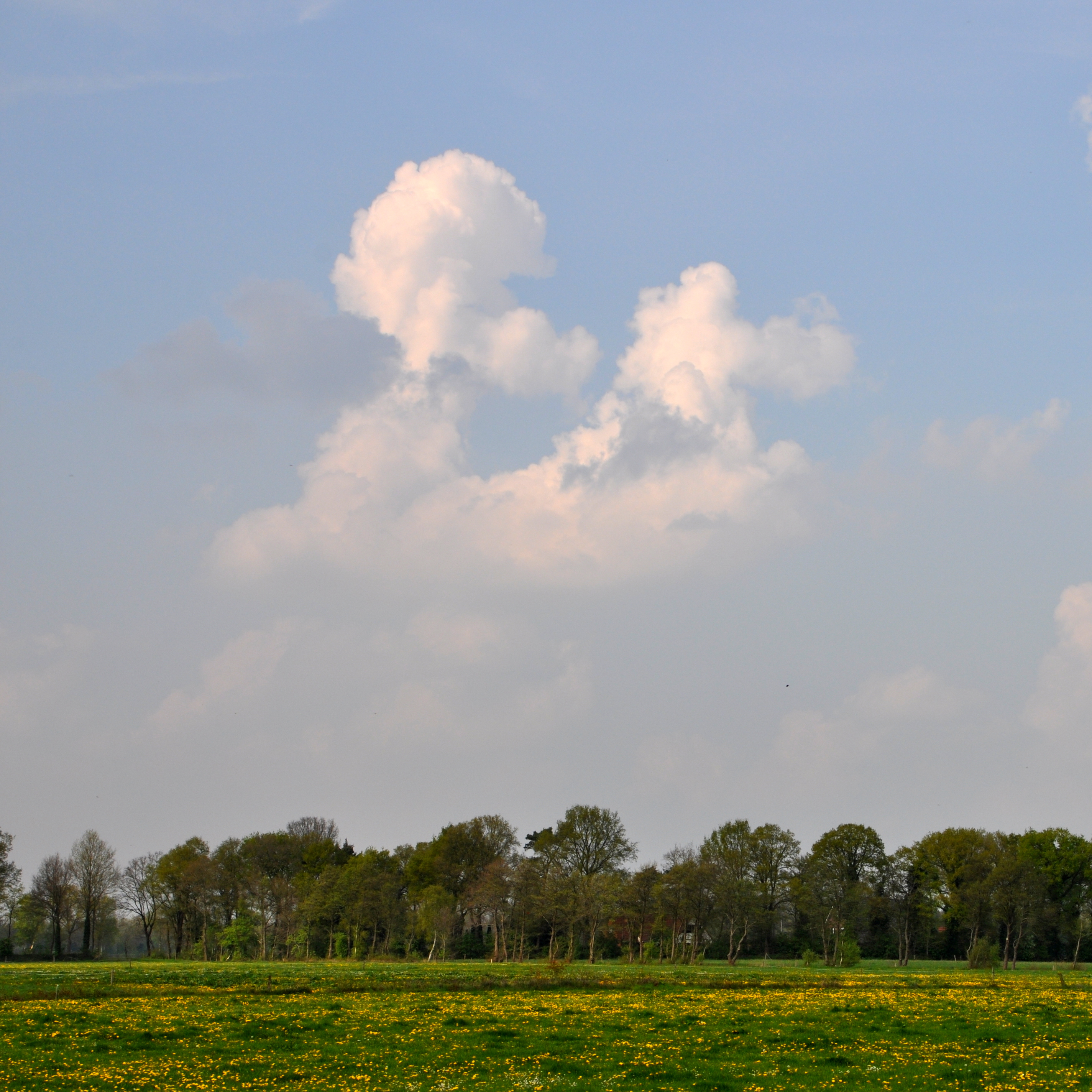
Still green
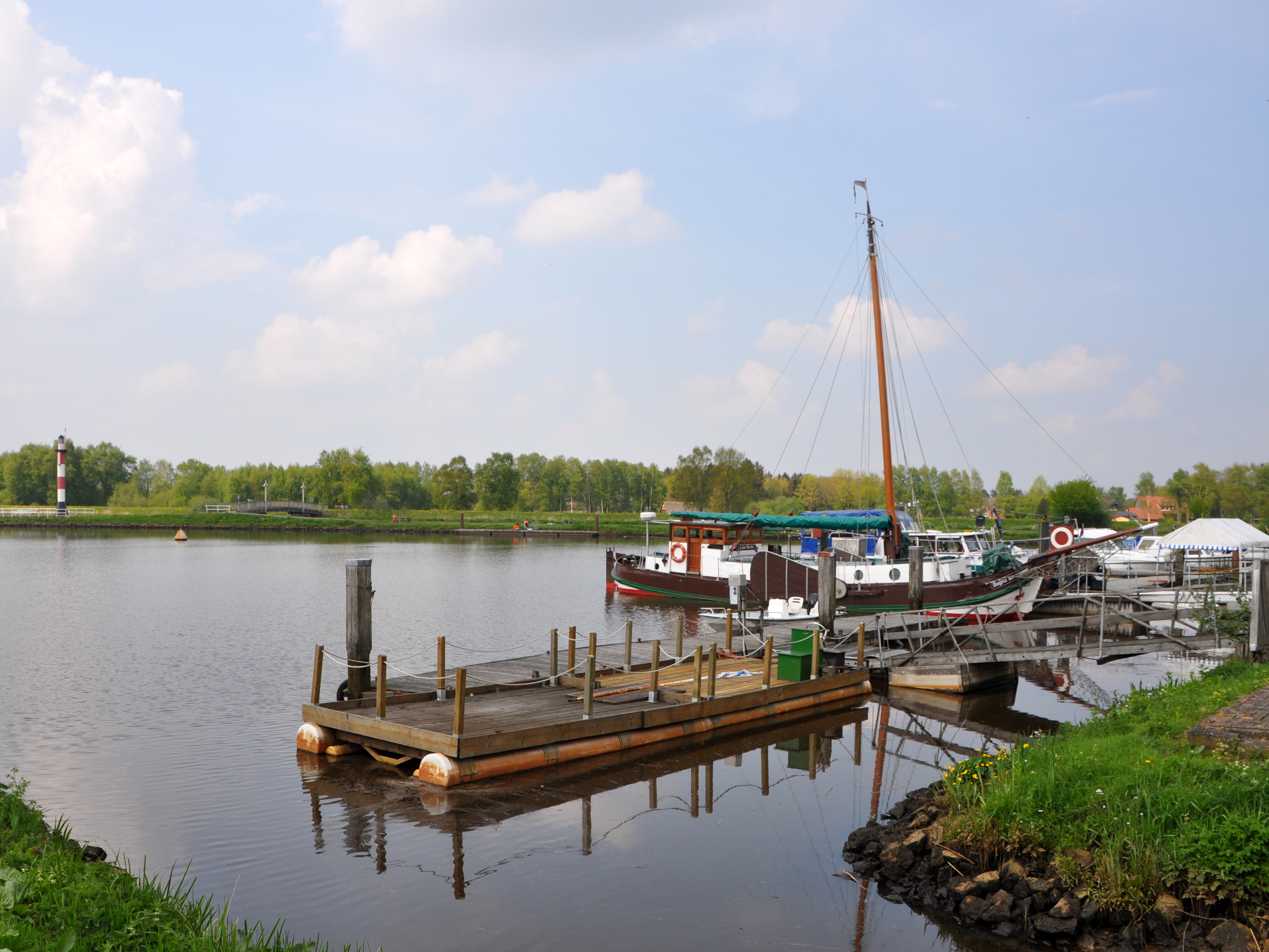
Alten Hafen Friesoythe

Esterwegen 2012
Friesoythe, Hotel landhaus Pollmeyer
Topographic Map of Saterland, Germany
Find elevation by address:

Places in Saterland, Germany:
Places near Saterland, Germany:
Hauptstraße 49a
Hüllen
Schleusenstraße, Barßel, Germany
Kamperfehn
Kampe
Kamper Rolle 3, Friesoythe, Germany
Barßel
Friesoythe
Zum Möhlenkamp 1, Saterland, Germany
Wittensand
Bibelter Weg 26, Saterland, Germany
Pehmertange
Idafehn
Idafehn-Süd 5, Ostrhauderfehn, Germany
4b
1a
32a
Ostrhauderfehn
Markhausen
Heinfelder Str. 6, Friesoythe, Germany
Recent Searches:
- Elevation of Corso Fratelli Cairoli, 35, Macerata MC, Italy
- Elevation of Tallevast Rd, Sarasota, FL, USA
- Elevation of 4th St E, Sonoma, CA, USA
- Elevation of Black Hollow Rd, Pennsdale, PA, USA
- Elevation of Oakland Ave, Williamsport, PA, USA
- Elevation of Pedrógão Grande, Portugal
- Elevation of Klee Dr, Martinsburg, WV, USA
- Elevation of Via Roma, Pieranica CR, Italy
- Elevation of Tavkvetili Mountain, Georgia
- Elevation of Hartfords Bluff Cir, Mt Pleasant, SC, USA