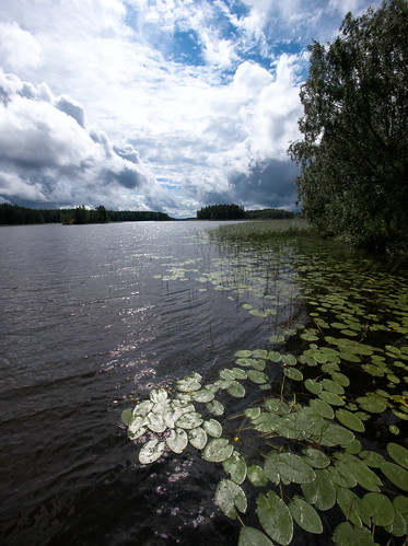
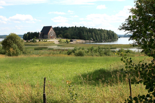
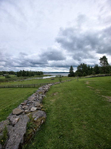
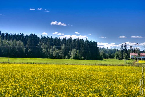
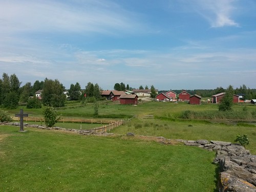
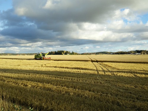
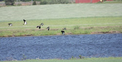
Elevation of Sastamala, Finland
Location: Finland >
Longitude: 22.9184987
Latitude: 61.3376032
Elevation: 70m / 230feet
Barometric Pressure: 100KPa
Related Photos:
Topographic Map of Sastamala, Finland
Find elevation by address:

Places near Sastamala, Finland:
Marttilankatu 37, Sastamala, Finland
Ratakatu 36
Sastamala
Kaukolantie, Sastamala, Finland
Laukulantie 5, Sastamala, Finland
Lielahdentie, Sastamala, Finland
Ulvintie 59, Sastamala, Finland
Huittinen
Korvenkyläntie 3, Huittinen, Finland
Isosuo
Sävintie, Sastamala, Finland
Kyröspohjantie, Hämeenkyrö, Finland
Költintie 1, Loimaa, Finland
Hämeenkyrö
Loimaa
Lavia
Porintie 12, Lavia, Finland
Ikaalinen
Kaarteentie 26, Ikaalinen, Finland
Kallinlahdenkatu 11, Ikaalinen, Finland
Recent Searches:
- Elevation of Corso Fratelli Cairoli, 35, Macerata MC, Italy
- Elevation of Tallevast Rd, Sarasota, FL, USA
- Elevation of 4th St E, Sonoma, CA, USA
- Elevation of Black Hollow Rd, Pennsdale, PA, USA
- Elevation of Oakland Ave, Williamsport, PA, USA
- Elevation of Pedrógão Grande, Portugal
- Elevation of Klee Dr, Martinsburg, WV, USA
- Elevation of Via Roma, Pieranica CR, Italy
- Elevation of Tavkvetili Mountain, Georgia
- Elevation of Hartfords Bluff Cir, Mt Pleasant, SC, USA
