Elevation of Lielahdentie, Sastamala, Finland
Location: Finland > Sastamala >
Longitude: 23.0357544
Latitude: 61.3729399
Elevation: 66m / 217feet
Barometric Pressure: 101KPa
Elevation Map:
Satellite Map:
Related Photos:

Looking for a safe place
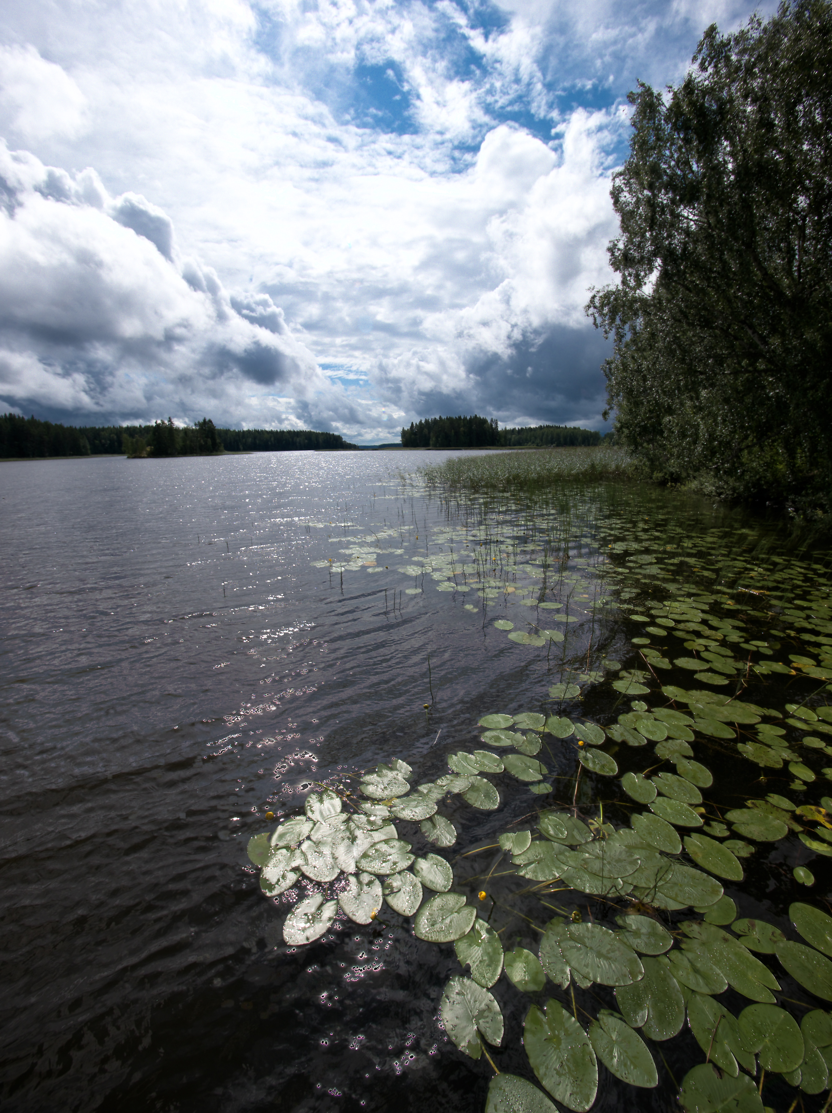
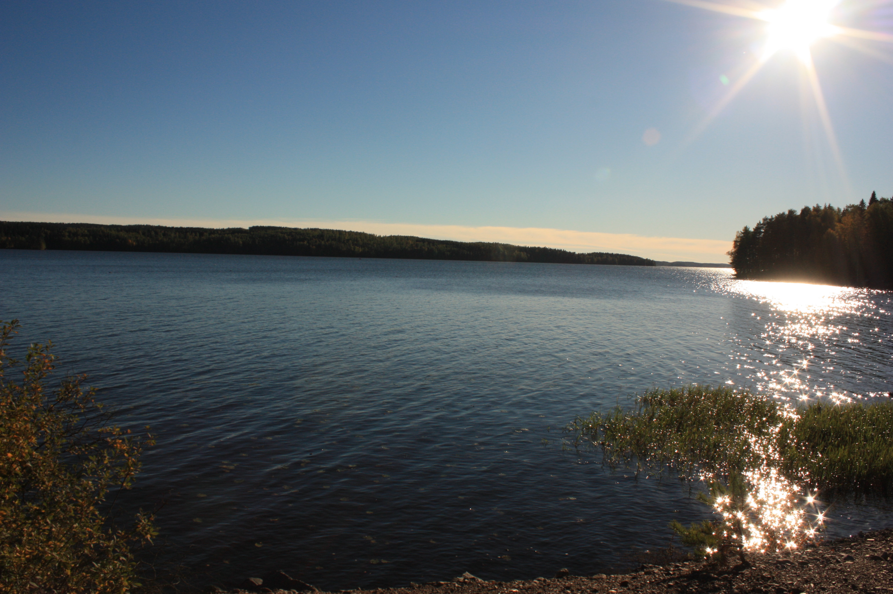
Summer view by the lake
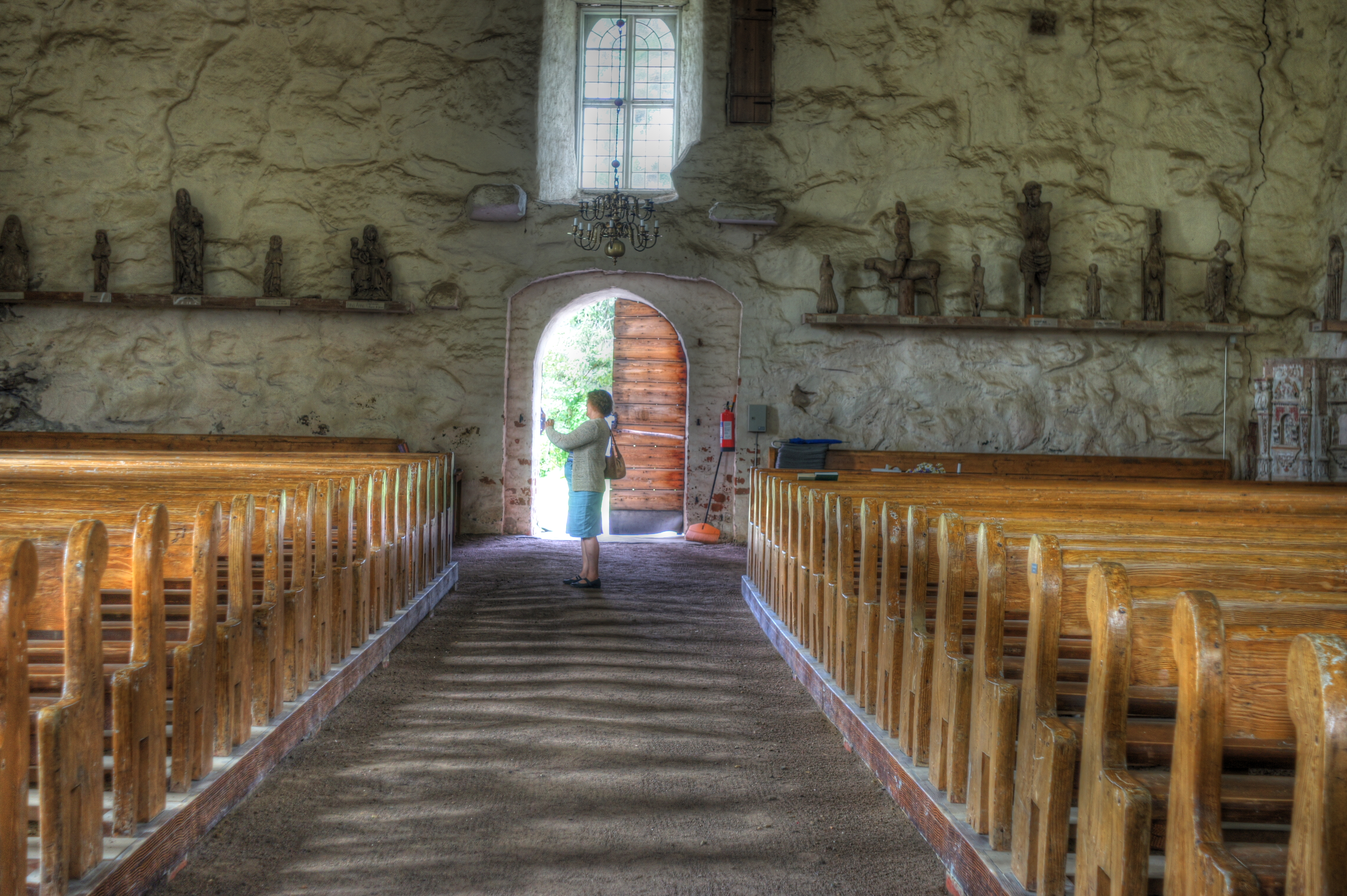
The priest's view [DSC08115_]

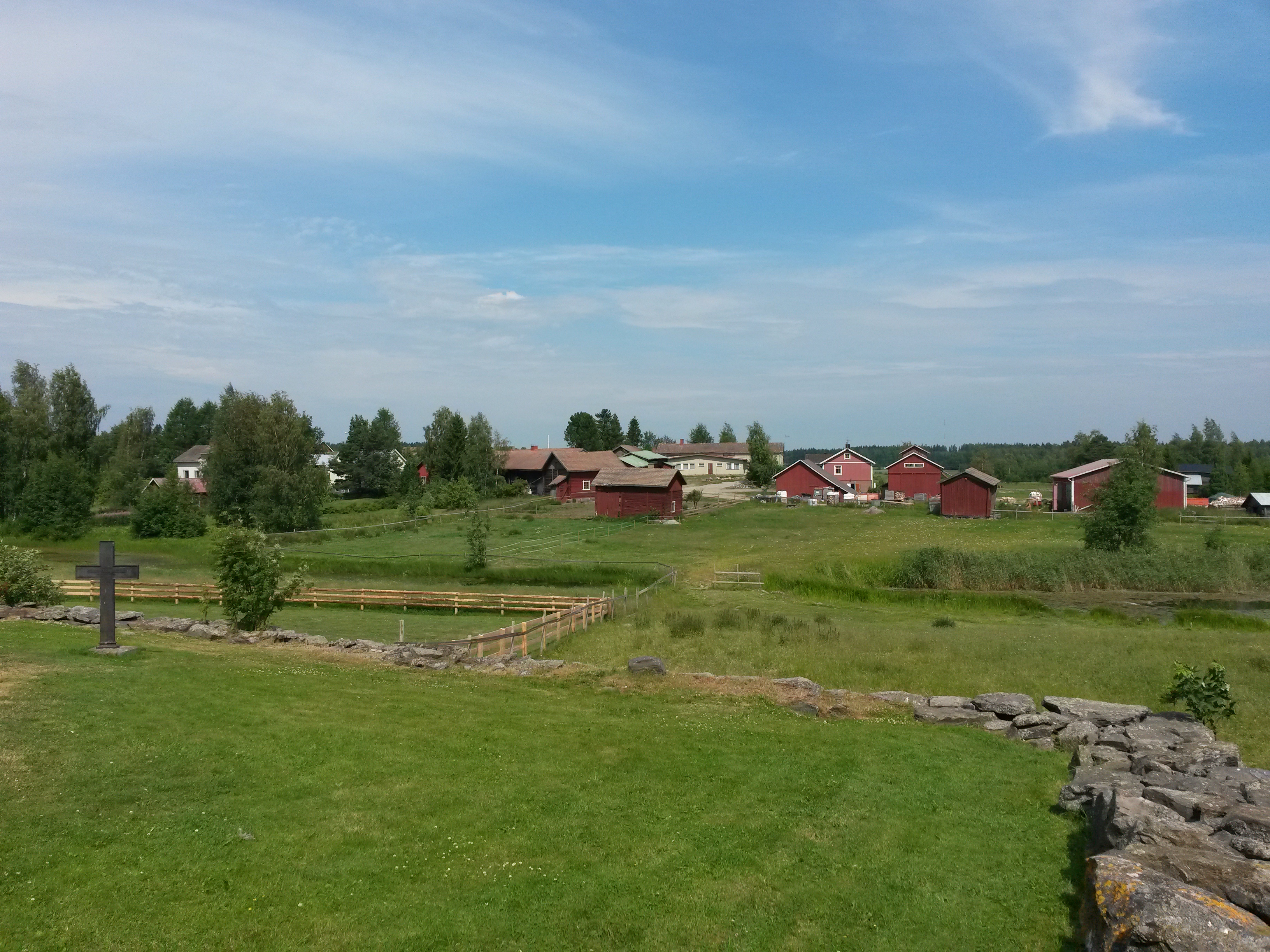
View from the church
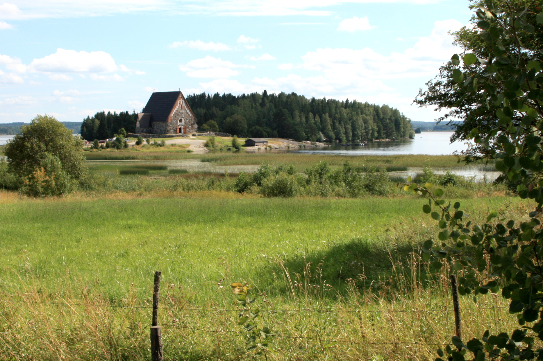
St. Olaf's Church

O - 007.jpg
This is the place that I spent my Summer Solstice (Mid-Summer) Holiday with the Meresmaa Family at their Summer Cabin! It was such a peaceful, relaxing way to spend the day taking multiple trips to the Suana and swimming in the cold Finnish Lake! Here's t
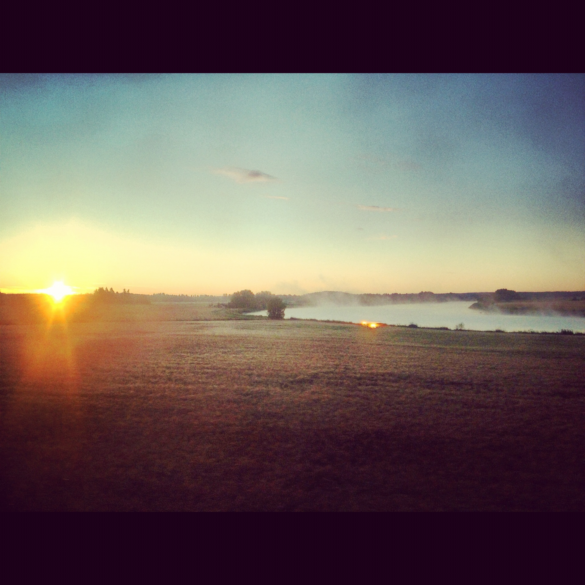
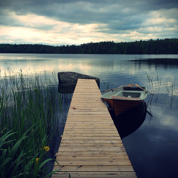
Misty morning
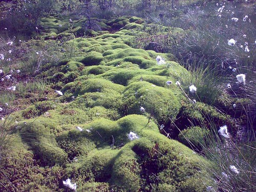
Sadan Leukaluut - Kulovettä
28.06.2009
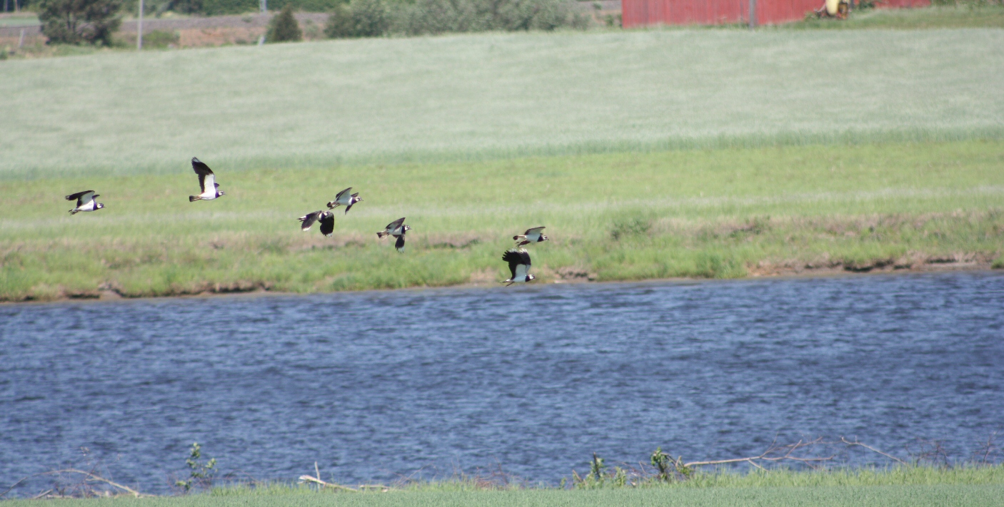
töyhtöhyypät
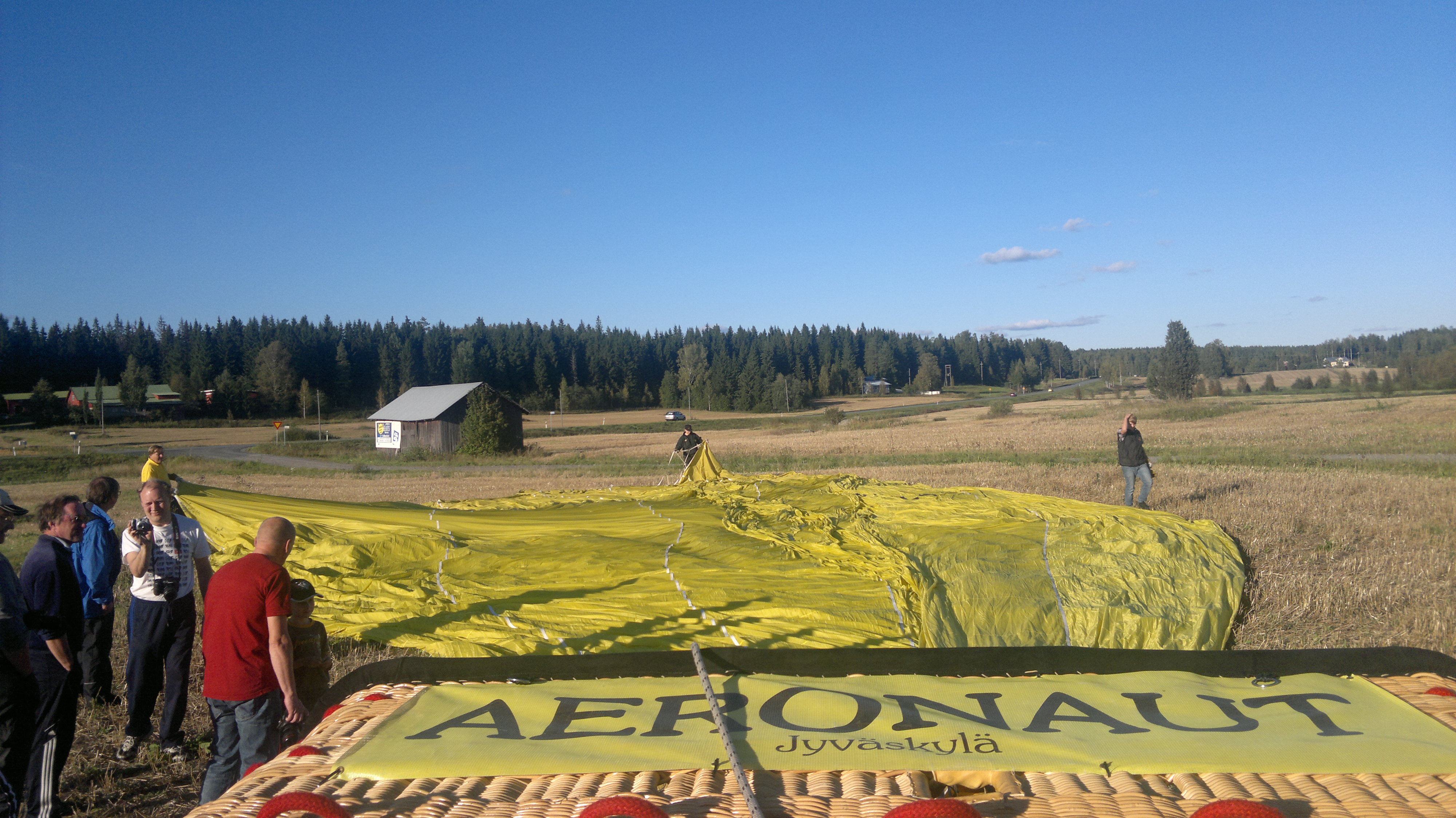
Soon... Hot balloon flight
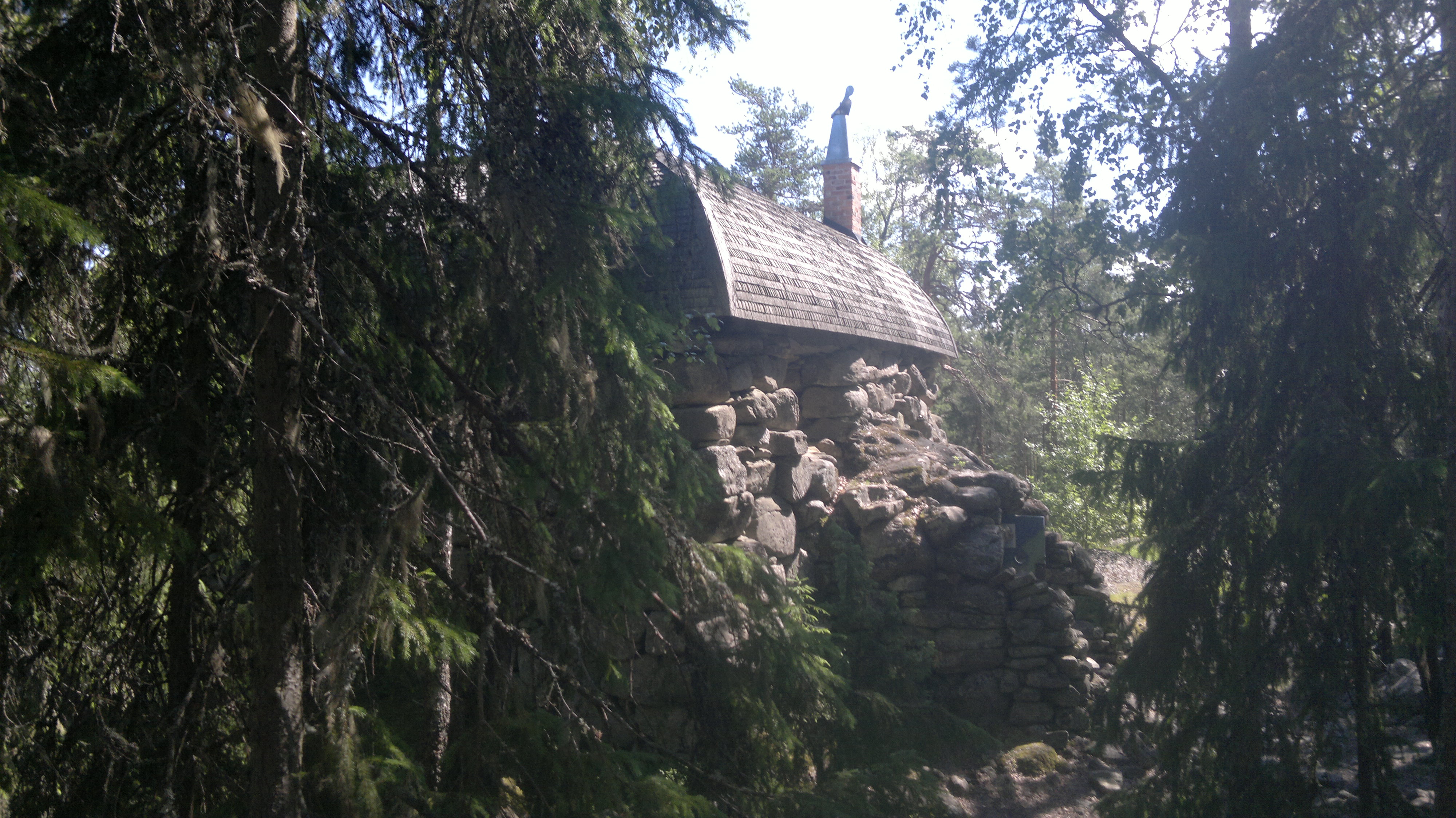
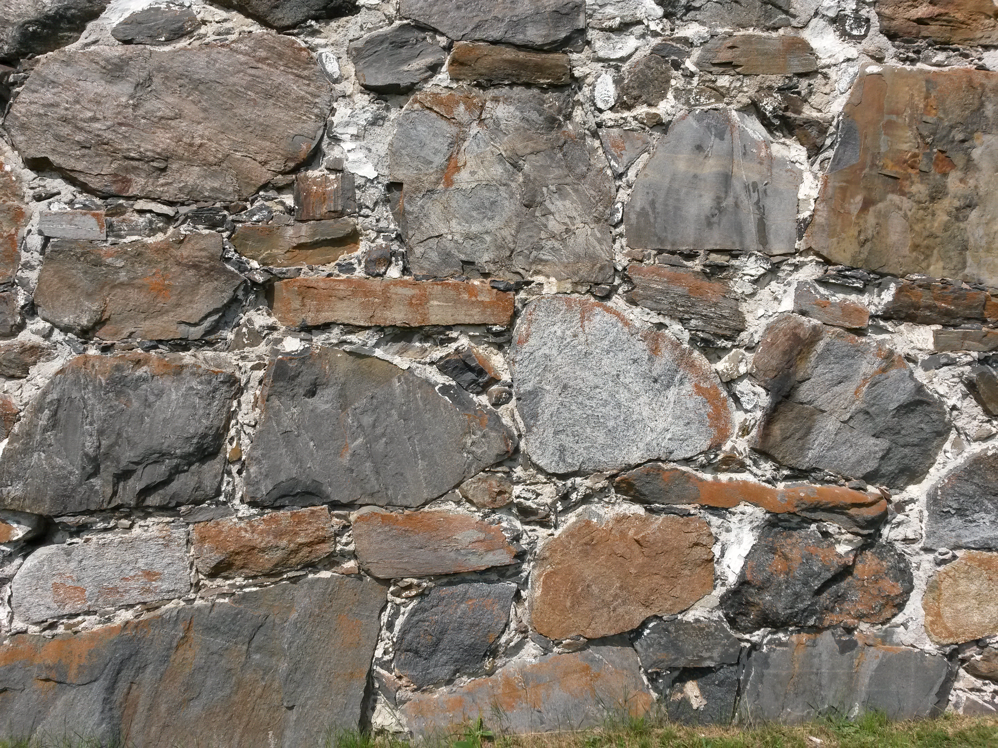
Pirunvuori, Sastamala

Jump to the warm water
Sastamalan Pyhän Marian kirkko.
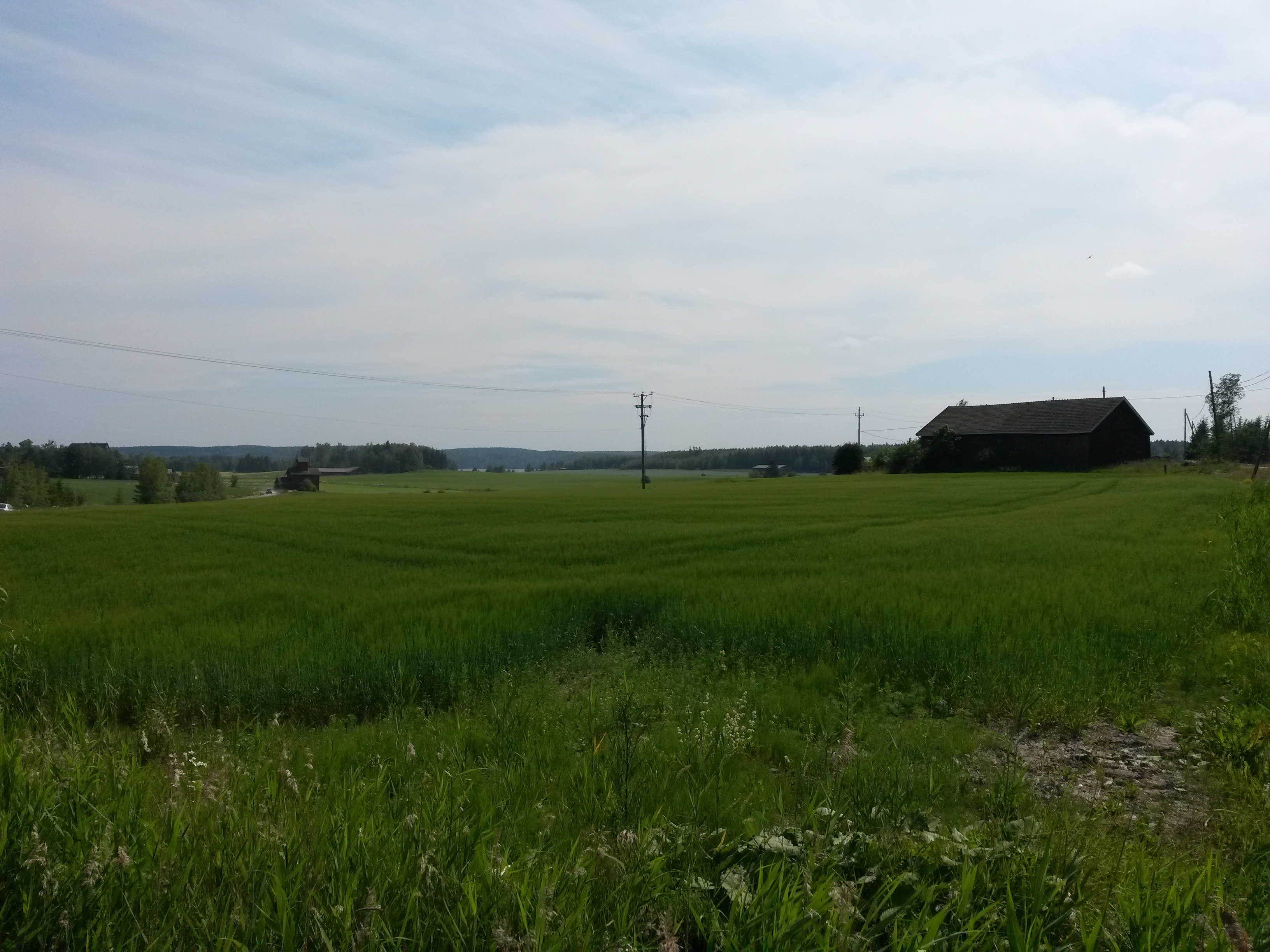
Viljavainioita Sastamalassa.
Tyrvään Pyhän Olavin kirkon maisemia.

Otamus - Tilankierros

Otamus - Tilankierros
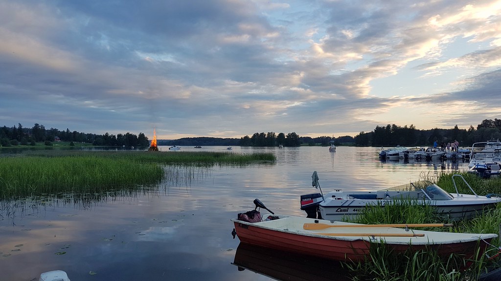
Mid summer bonfire
Topographic Map of Lielahdentie, Sastamala, Finland
Find elevation by address:

Places near Lielahdentie, Sastamala, Finland:
Laukulantie 5, Sastamala, Finland
Sastamala
Marttilankatu 37, Sastamala, Finland
Ratakatu 36
Sastamala
Kaukolantie, Sastamala, Finland
Ulvintie 59, Sastamala, Finland
Kyröspohjantie, Hämeenkyrö, Finland
Hämeenkyrö
Nokia
Huittinen
Sävintie, Sastamala, Finland
Kaarteentie 26, Ikaalinen, Finland
Kallinlahdenkatu 11, Ikaalinen, Finland
Ikaalinen
Haveri-Alasentie 45, Ylöjärvi, Finland
Ikaalinen
Arasalontie, Ikaalinen, Finland
Korvenkyläntie 3, Huittinen, Finland
Jyrkännekatu 10, Nokia, Finland
Recent Searches:
- Elevation of Corso Fratelli Cairoli, 35, Macerata MC, Italy
- Elevation of Tallevast Rd, Sarasota, FL, USA
- Elevation of 4th St E, Sonoma, CA, USA
- Elevation of Black Hollow Rd, Pennsdale, PA, USA
- Elevation of Oakland Ave, Williamsport, PA, USA
- Elevation of Pedrógão Grande, Portugal
- Elevation of Klee Dr, Martinsburg, WV, USA
- Elevation of Via Roma, Pieranica CR, Italy
- Elevation of Tavkvetili Mountain, Georgia
- Elevation of Hartfords Bluff Cir, Mt Pleasant, SC, USA