Elevation of Sargentville, Sedgwick, ME, USA
Location: United States > Maine > Hancock County > Sedgwick >
Longitude: -68.669531
Latitude: 44.3001452
Elevation: 37m / 121feet
Barometric Pressure: 101KPa
Elevation Map:
Satellite Map:
Related Photos:

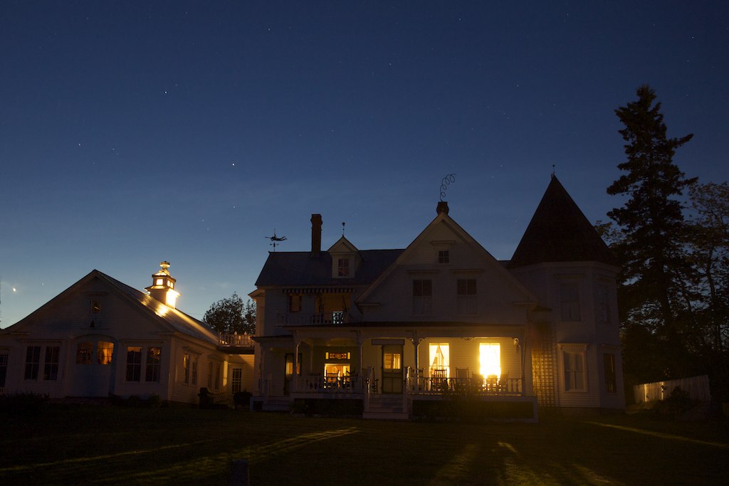
Waterside Home

Harbor view, Stonington

View from Caterpillar Hill

Brooklin Dawn

Harbor view, Stonington

Second Time Around

Dyce Head Lighthouse

Happy 4th of July

good morning

Summer Bus! - Sedgwick Maine

Bridge Downtown Blue Hill 3D cross view

High Tide 3D Cross View
The writer's house

Aerial View of Deer Isle, Maine

Brooksville Events 3d Cross Eye View

Aerial View of Little Deer Isle and the Deer Isle - Sedgwick Bridge

Dyce Head Light in Castine, Maine

Aerial View (1) of the Deer Isle - Sedgwick Bridge

Aerial View of Deer Isle, Maine

The low tide walkway to the Flye Point Lighthouse (AKA Blue Hill Bay Light)

Hardhead Island in northeastern Penobscot Bay, Maine

Barred Island

roller coaster

(drive) ... on the water

Blue Hill Bay Lighthouse, near Brooklin, Maine

Shore and islands

Stonington Harbor

Above Conary Cove

Barred Island Preserve

Marriner's Park at Dawn

E.T., Phone Hohmann

Barred Island Preserve
Barred Island Preserve

Little Crow Island

British Canal

Low tide boathouse

Deer Isle Night 7480

Star Trails over Deer Isle 7482
Coast 6a

Sunset over Eggemoggin Reach
Topographic Map of Sargentville, Sedgwick, ME, USA
Find elevation by address:

Places in Sargentville, Sedgwick, ME, USA:
Places near Sargentville, Sedgwick, ME, USA:
633 Reach Rd
633 Reach Rd
633 Reach Rd
633 Reach Rd
712 Reach Rd
Silver Mine Lane
308 Reach Rd
308 Reach Rd
41 Sunset Rd
Old County Road
577 Caterpillar Hill Rd
435 Herrick Rd
Oakland House Cottages By The Side Of The Sea
Cabin Cove
116 Reach Rd
116 Reach Rd
116 Reach Rd
116 Reach Rd
62 Winneganek Way
118 Coastal Rd
Recent Searches:
- Elevation of Corso Fratelli Cairoli, 35, Macerata MC, Italy
- Elevation of Tallevast Rd, Sarasota, FL, USA
- Elevation of 4th St E, Sonoma, CA, USA
- Elevation of Black Hollow Rd, Pennsdale, PA, USA
- Elevation of Oakland Ave, Williamsport, PA, USA
- Elevation of Pedrógão Grande, Portugal
- Elevation of Klee Dr, Martinsburg, WV, USA
- Elevation of Via Roma, Pieranica CR, Italy
- Elevation of Tavkvetili Mountain, Georgia
- Elevation of Hartfords Bluff Cir, Mt Pleasant, SC, USA